£250
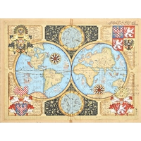
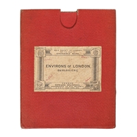
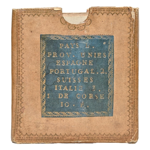
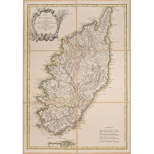
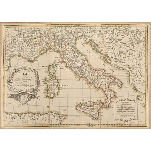
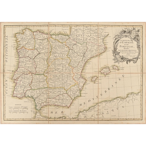
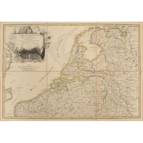
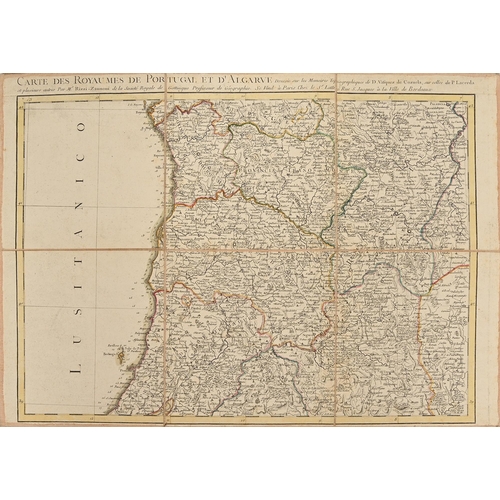
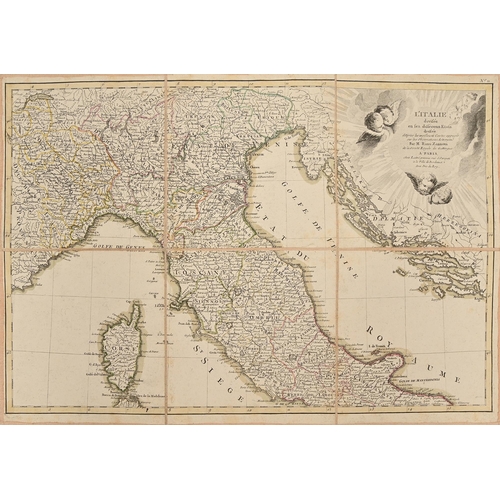
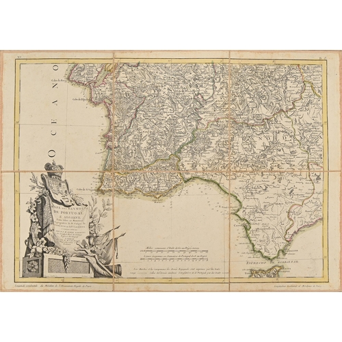
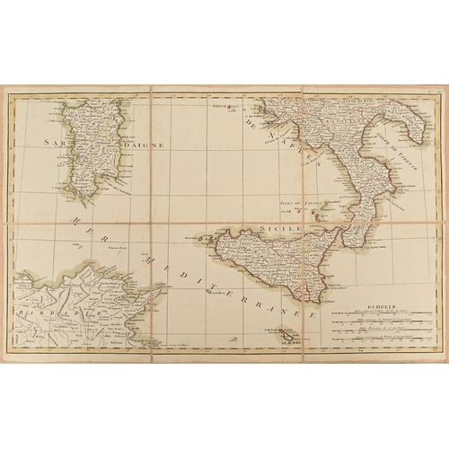
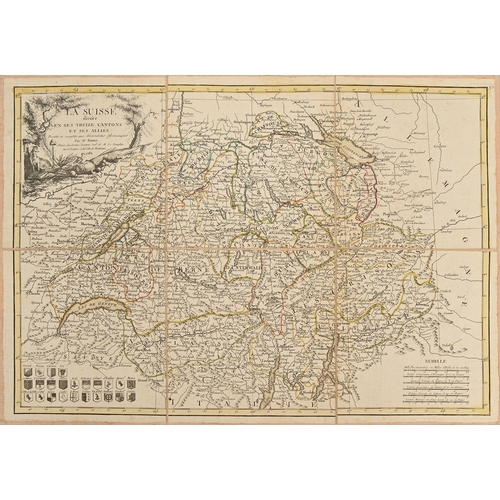
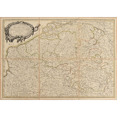
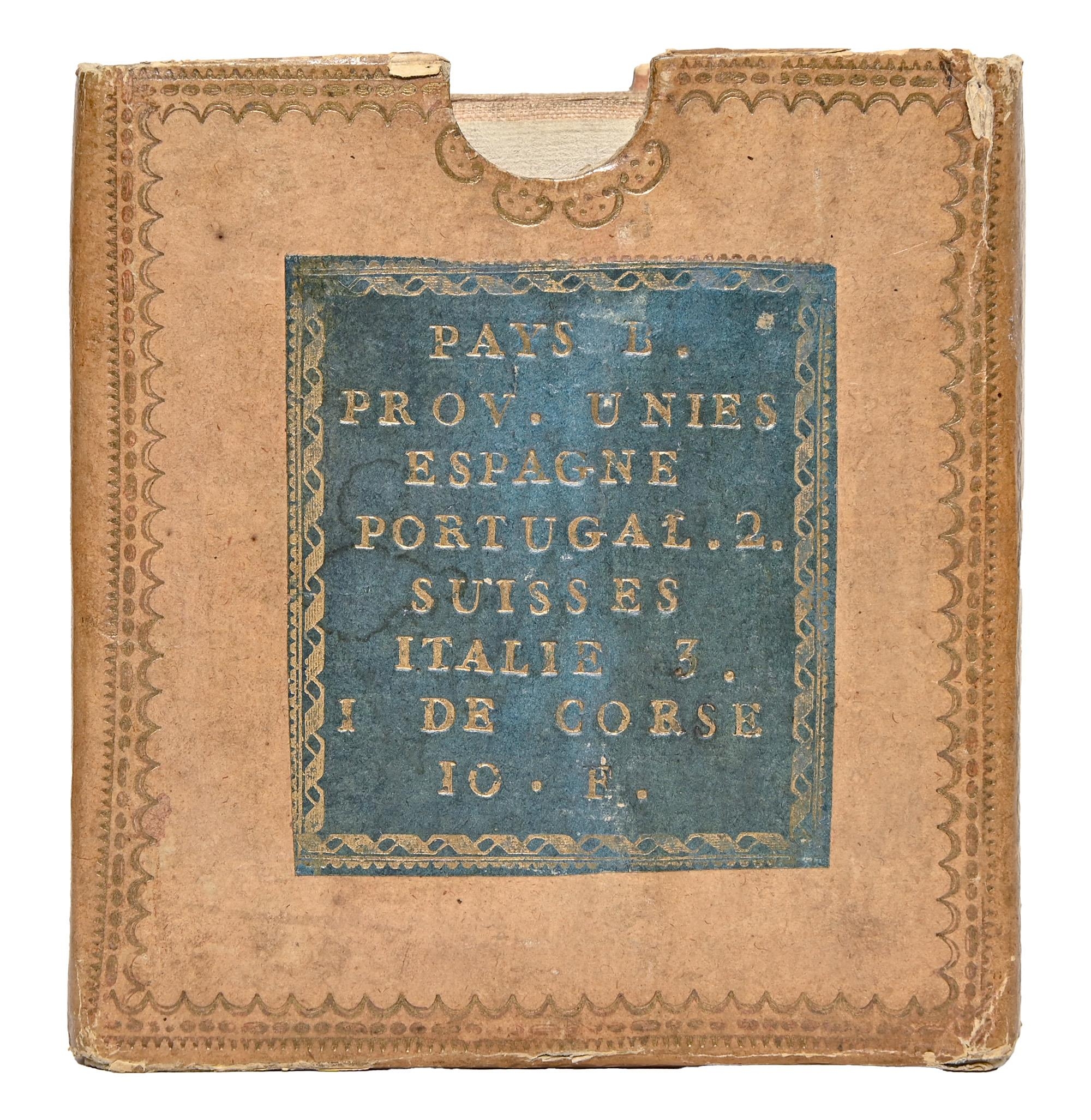
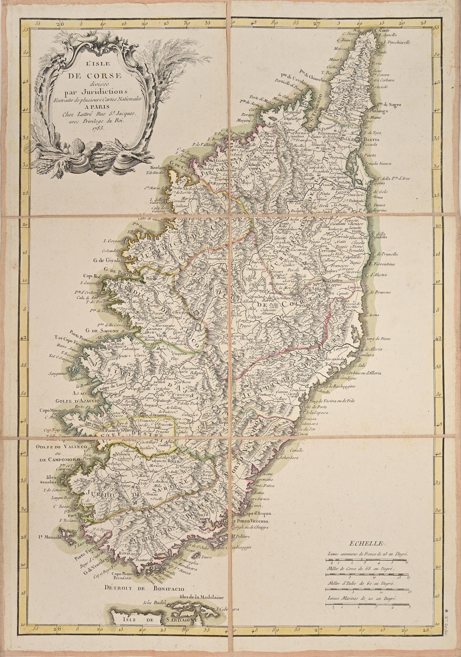
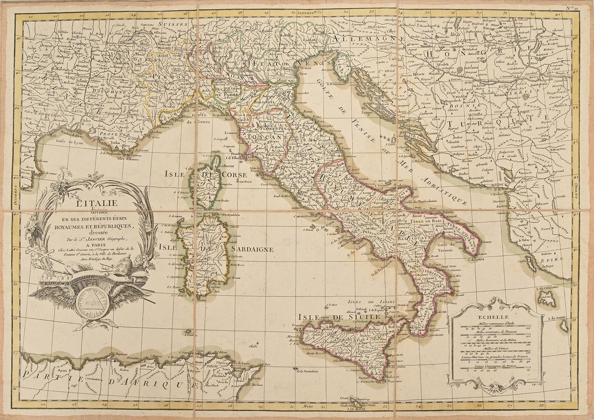
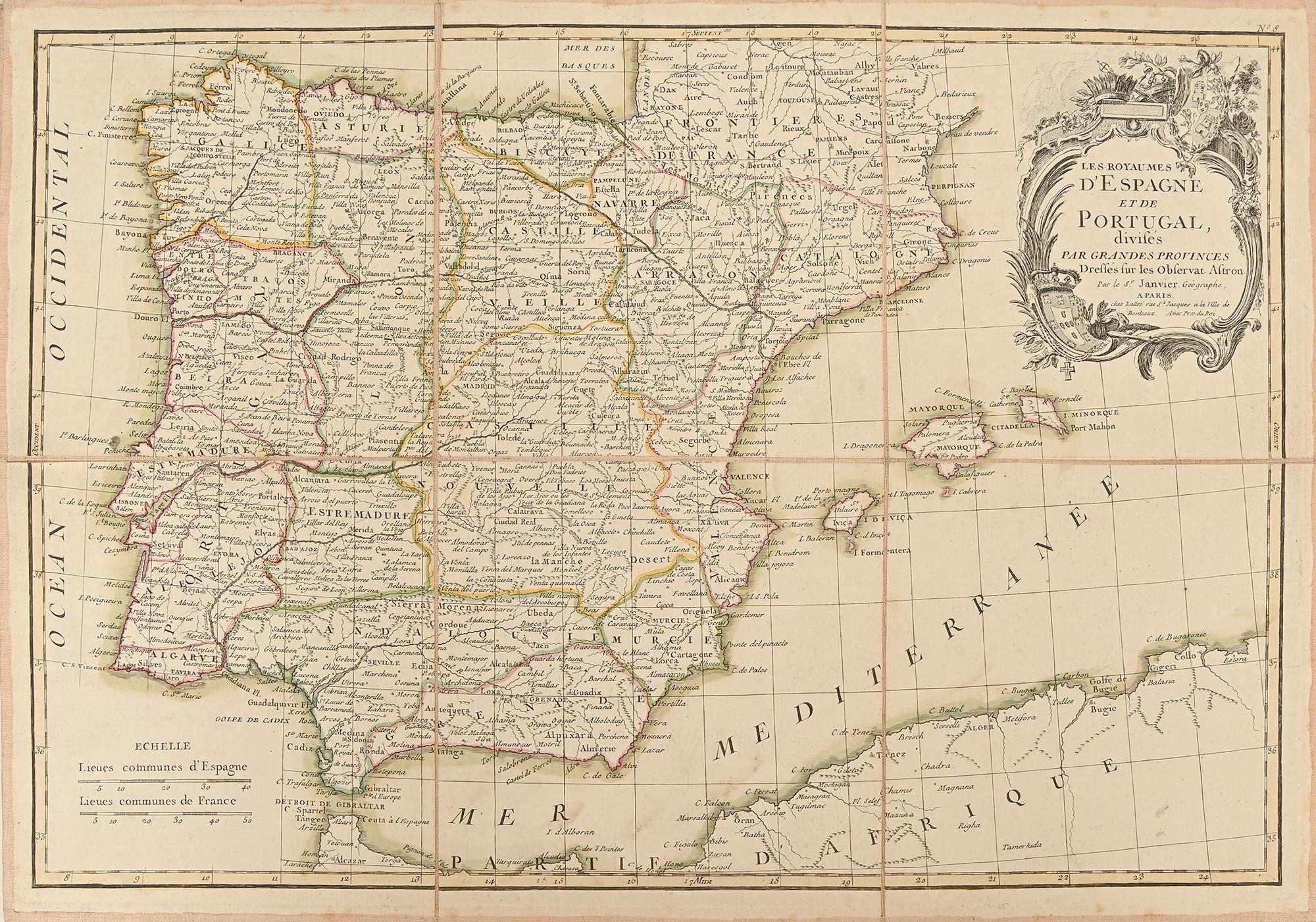
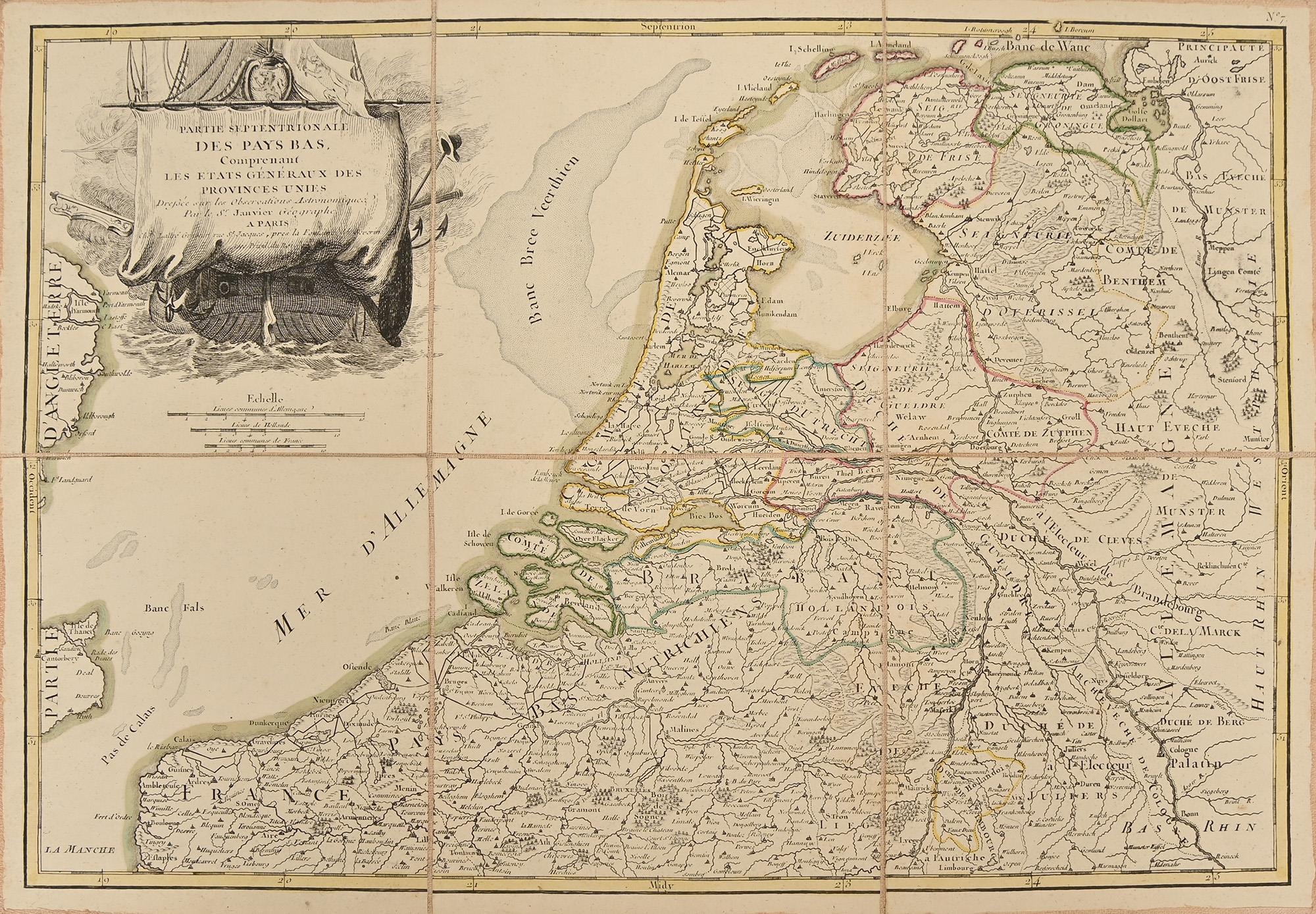
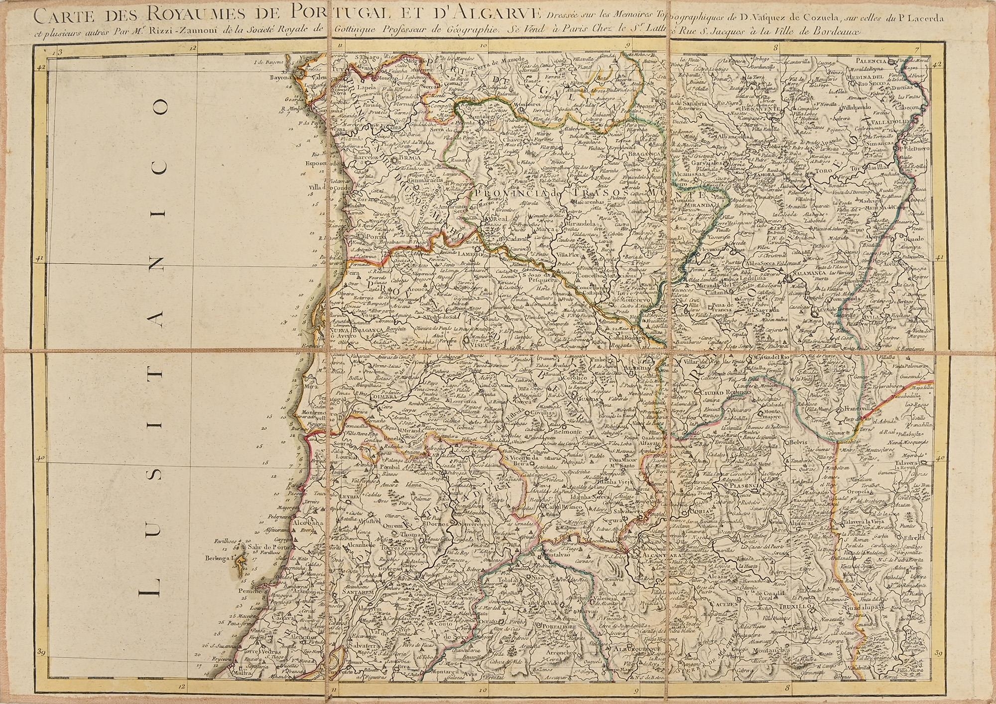
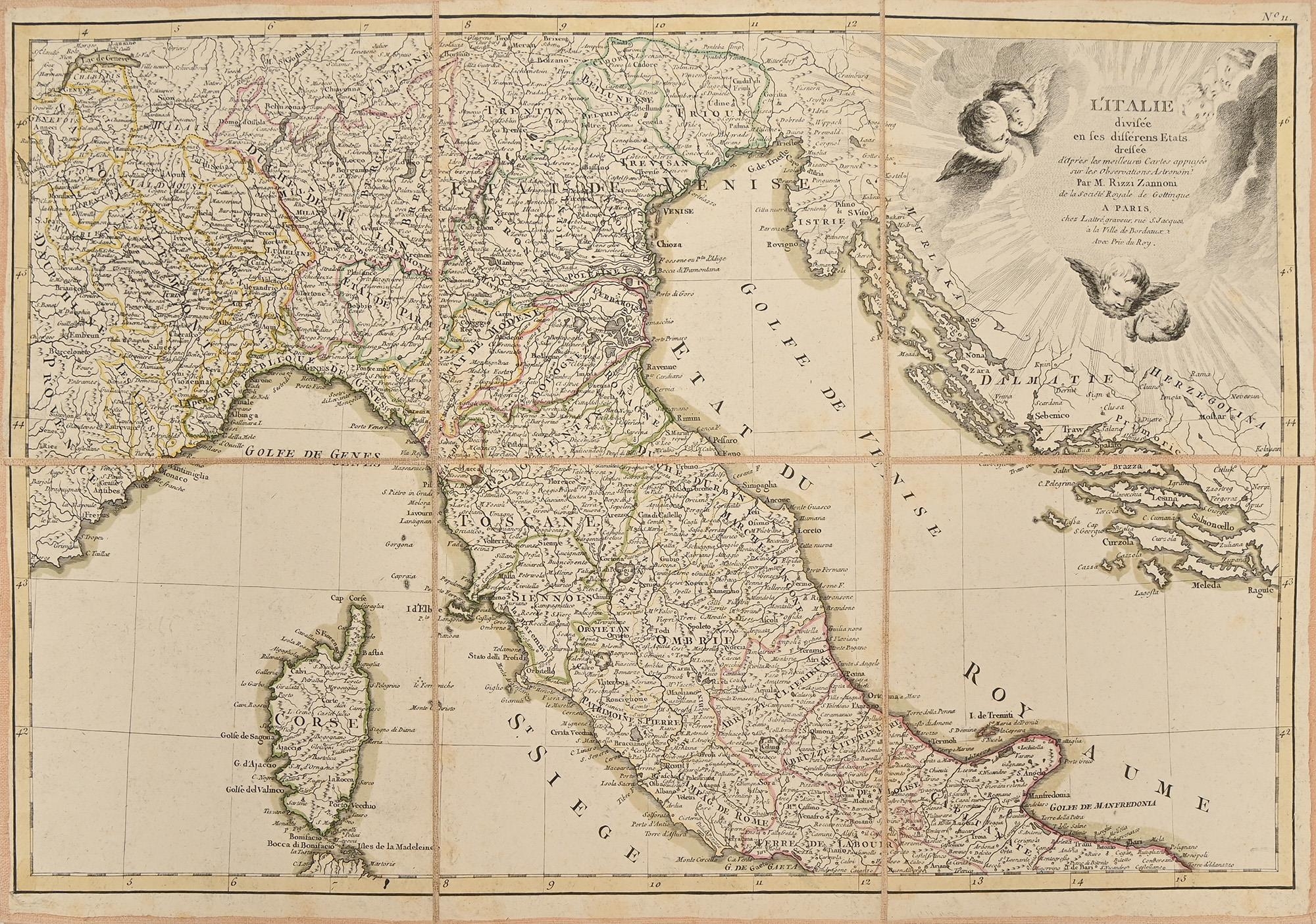
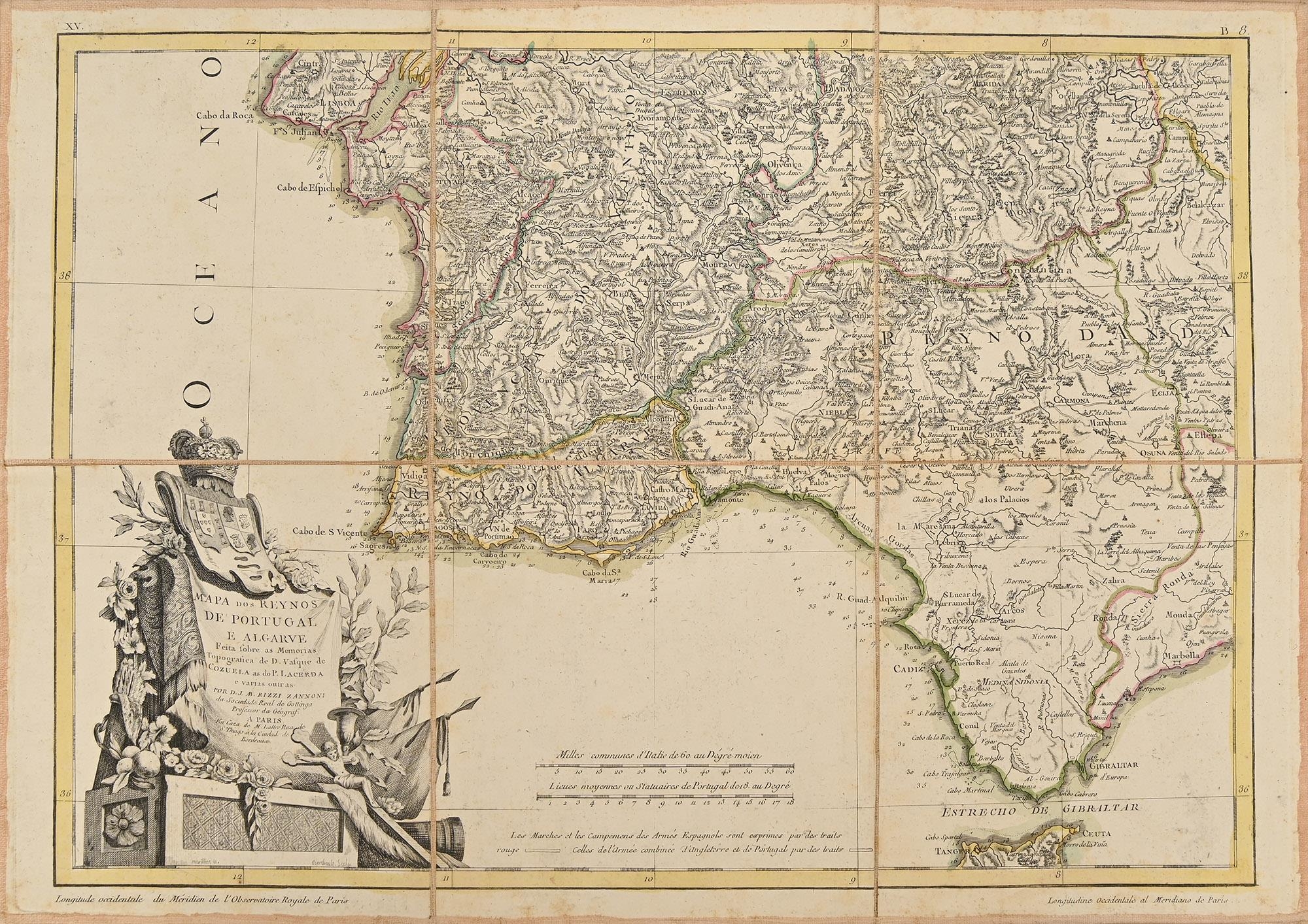
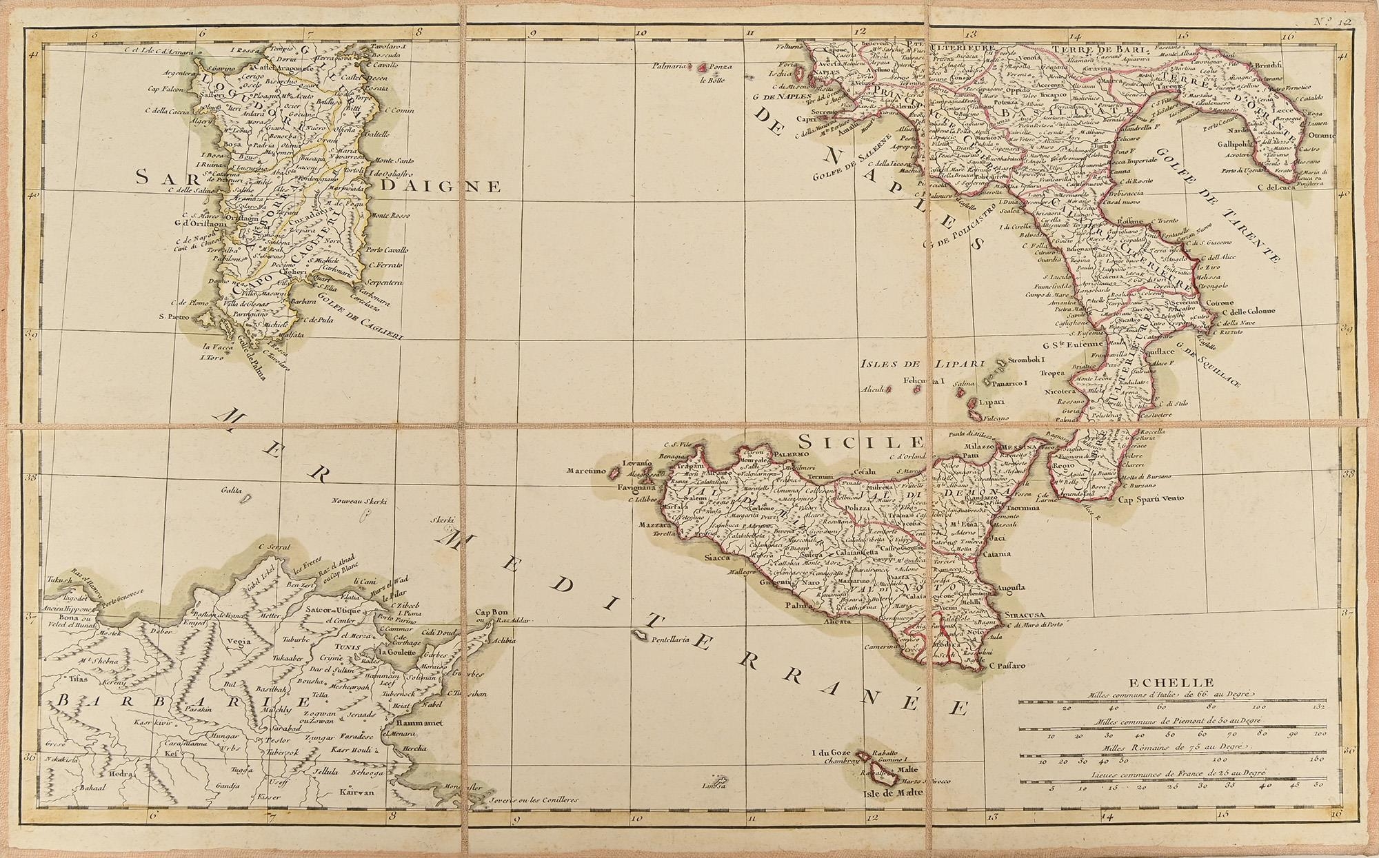
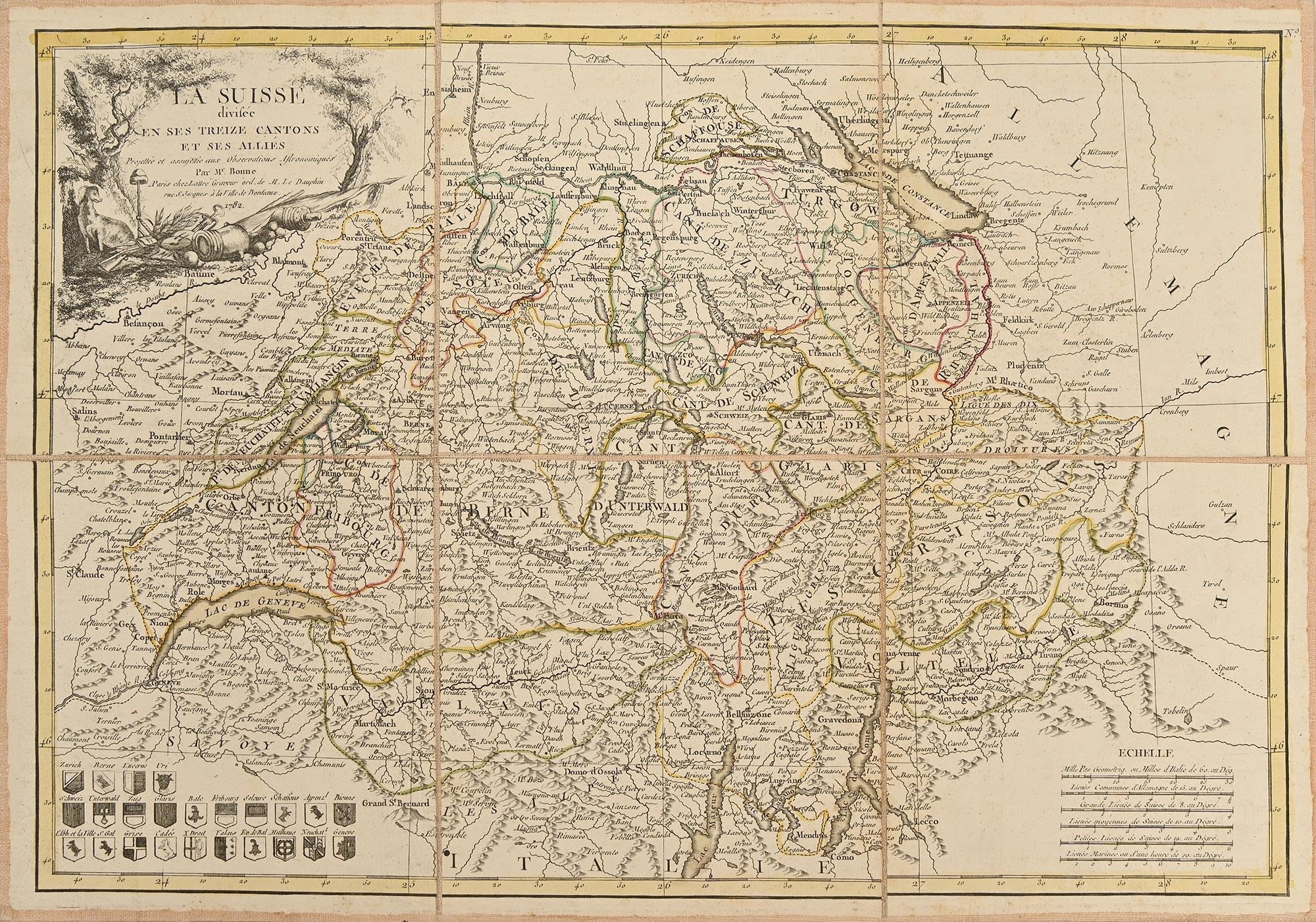
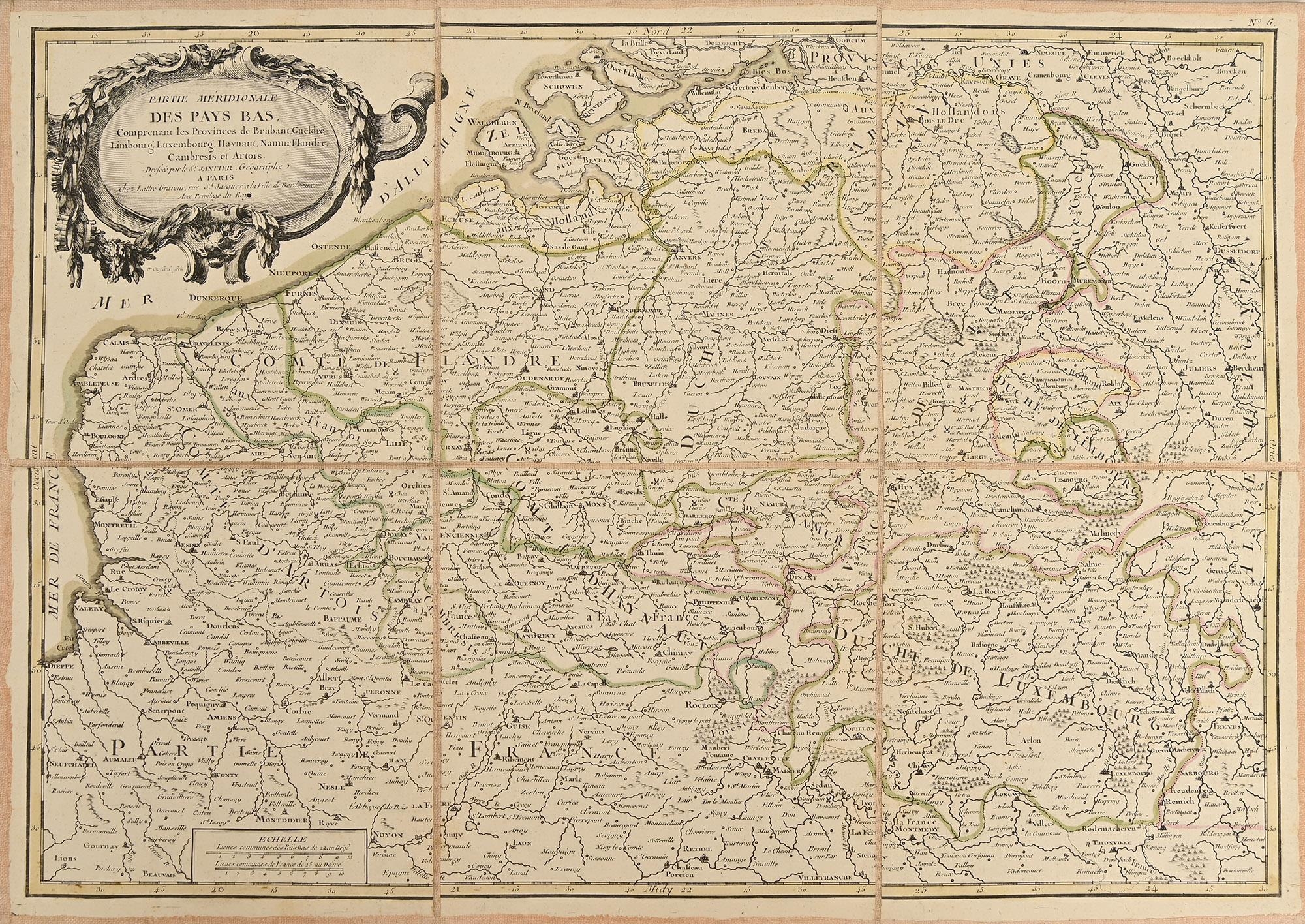
Cartography. Jean Lattré (1743-1793; engraver and publisher), a cased collection of ten 18th c European maps, comprising five after Jean Janvier (fl. 1746-1776), the Northern and Southern parts of The Netherlands, Spain and Portugal, Italy, and Corsica; five after Giovanni Antonio Rizzi-Zannoni (1736-1814), Portugal's Algarve with Gibraltar, another of the Algarve, Italy with Corsica and Sardinia, and Switzerland; Paris, some n.d. and others mixed, but all c. 1783, titled within the plates, engravings over six paper sheets, delineated in contemporary hand-colouring, and laid on dyed peach linen, each 33.2 x 47 or 47 x 33.2cm, docketed to verso with contemporary French manuscript short-title labels, contemporary polychrome papered card case, presumably Parisian, lettered in gilt: PAYS B./PROV. UNIES/ESPAGNE/PORTGUAL. 2./SUISSES/ITALIE 3./I DE CORSE/IO. F., the case
The maps good, intact on their original backing. Some sheets somewhat toned: please see images. The case structurally sound, but with anticipated wear and light rubbed/chipped losses to decoration.
Fees apply to the hammer price:
Free Registration
27.6% inc VAT*
Flat Fee Registration
24.00% inc VAT*