

€200 - €400
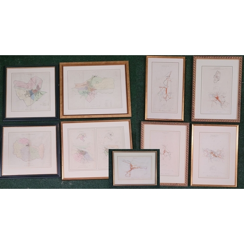
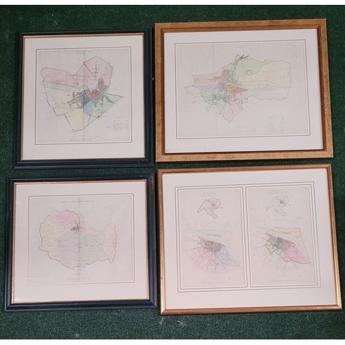
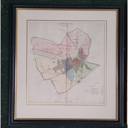
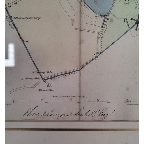
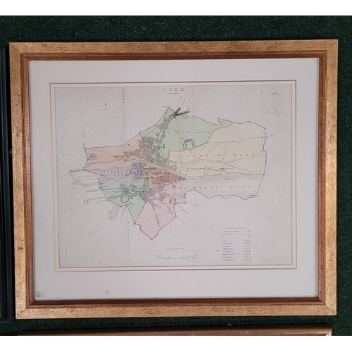
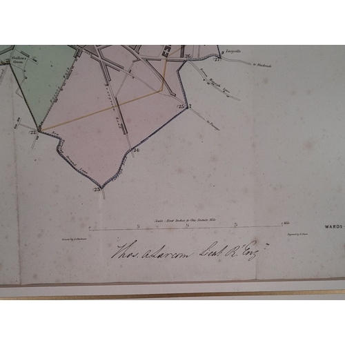
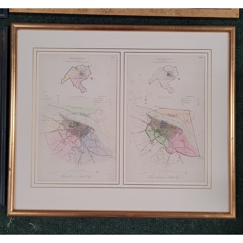
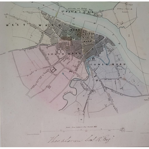
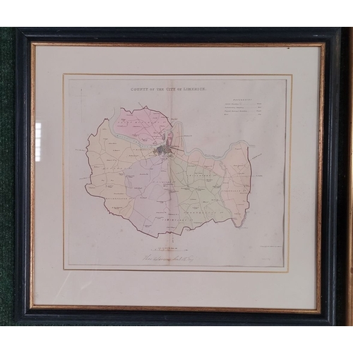
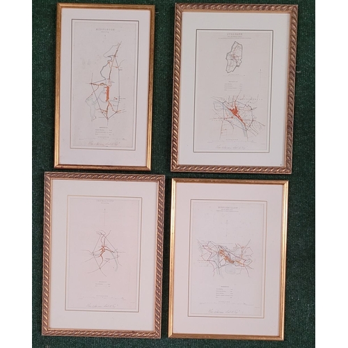
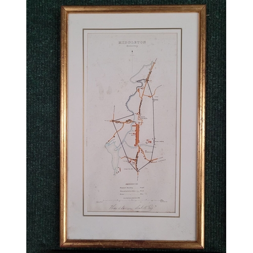
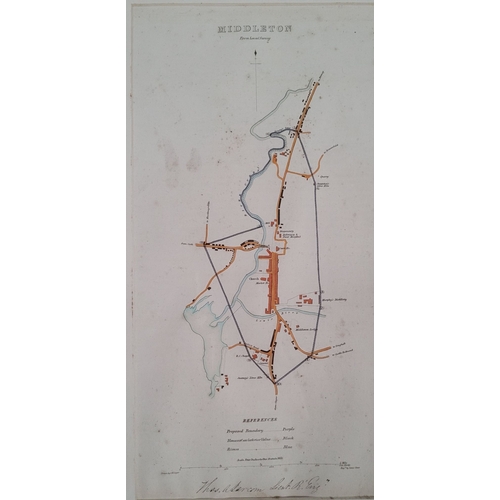
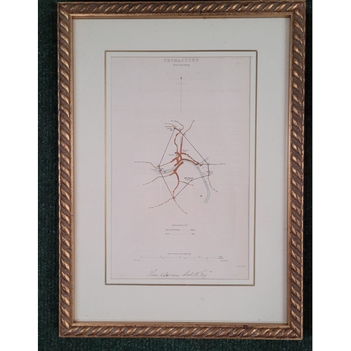
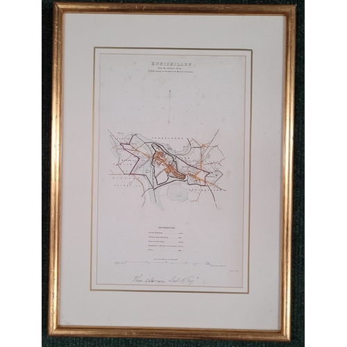
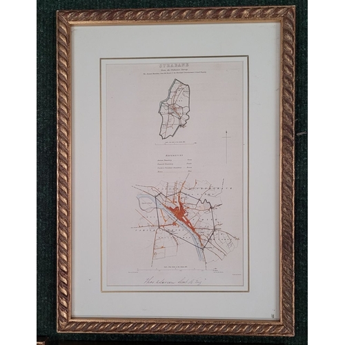
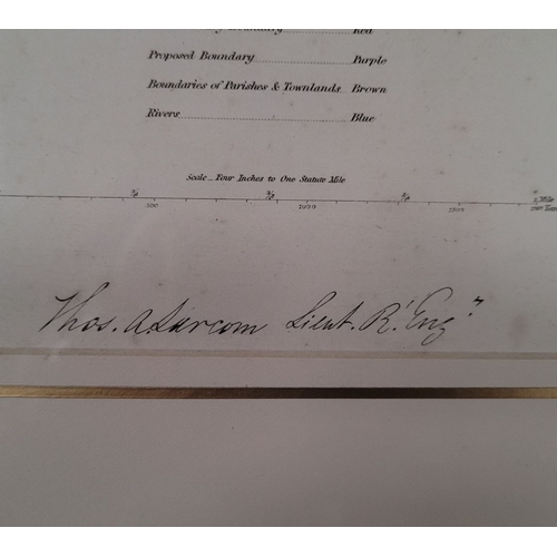
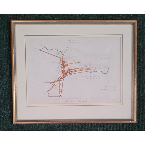
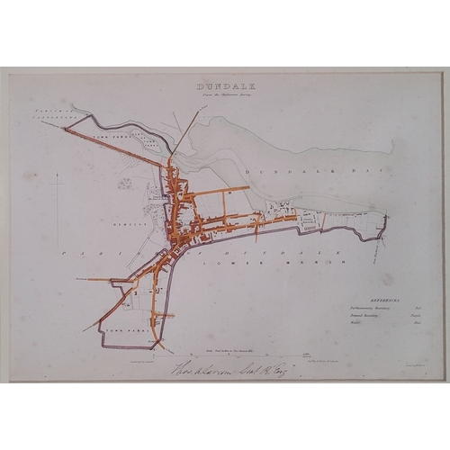
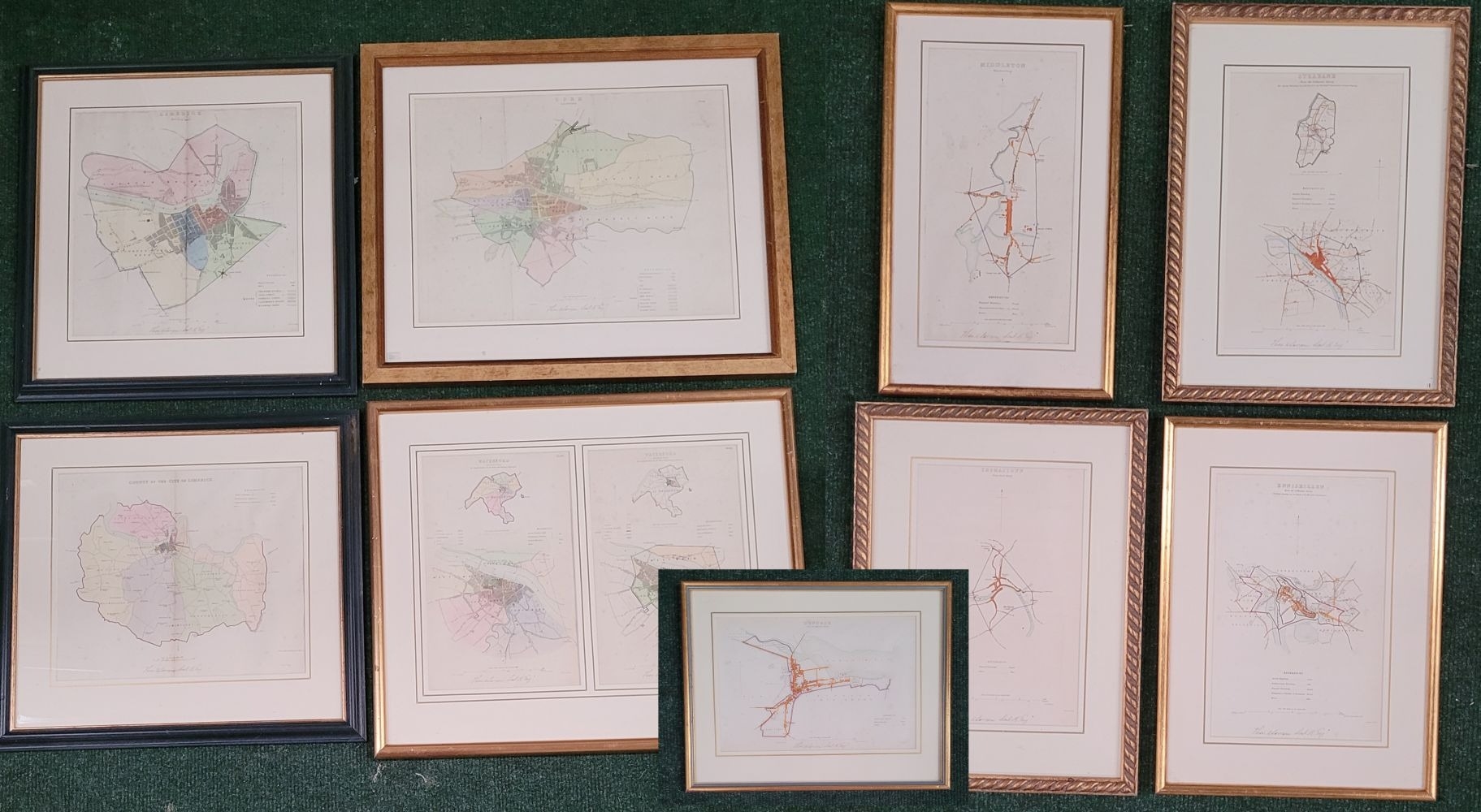
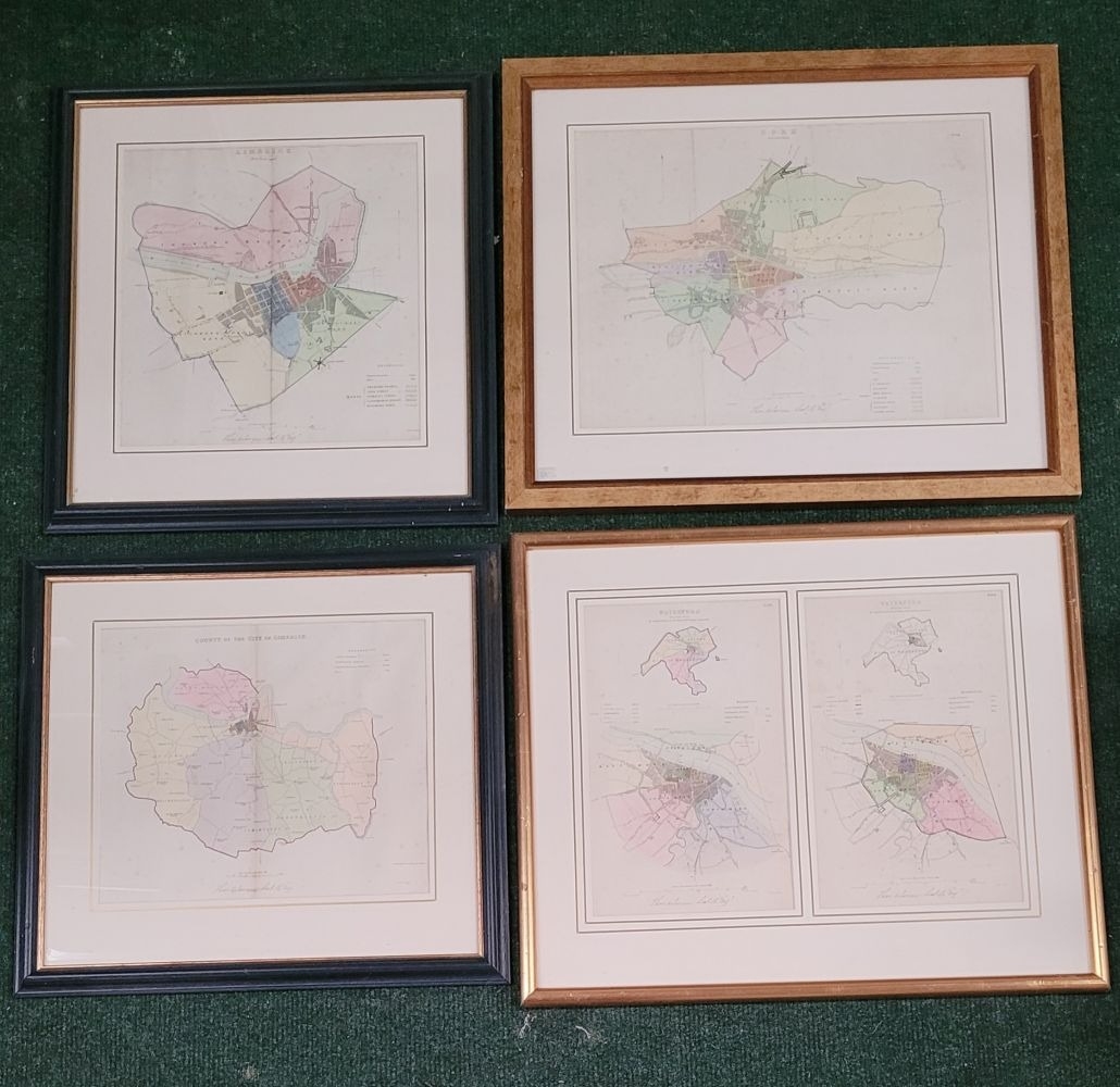
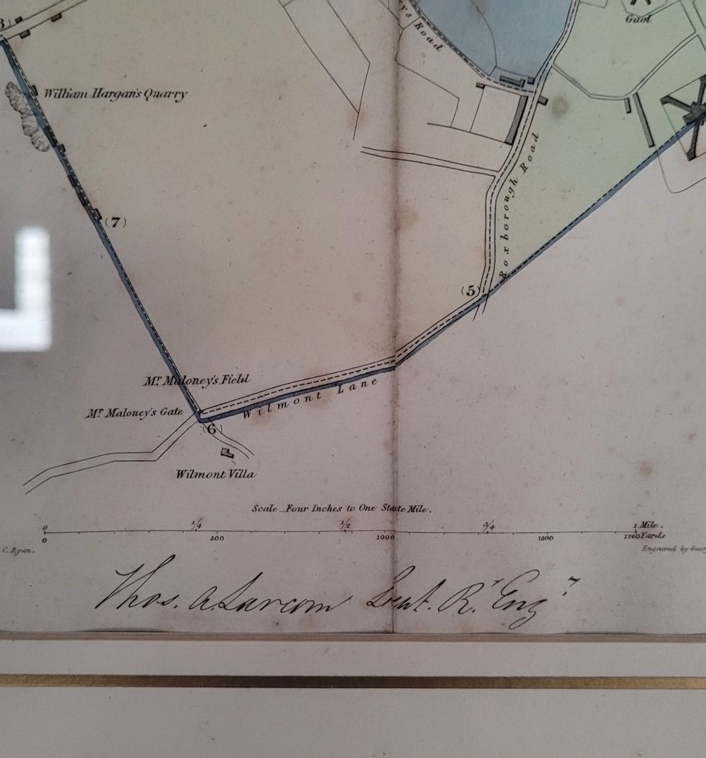
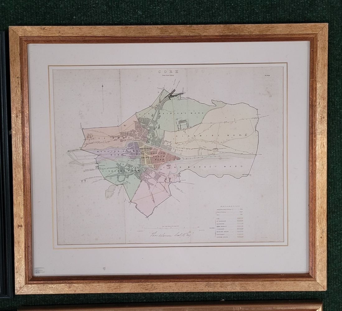
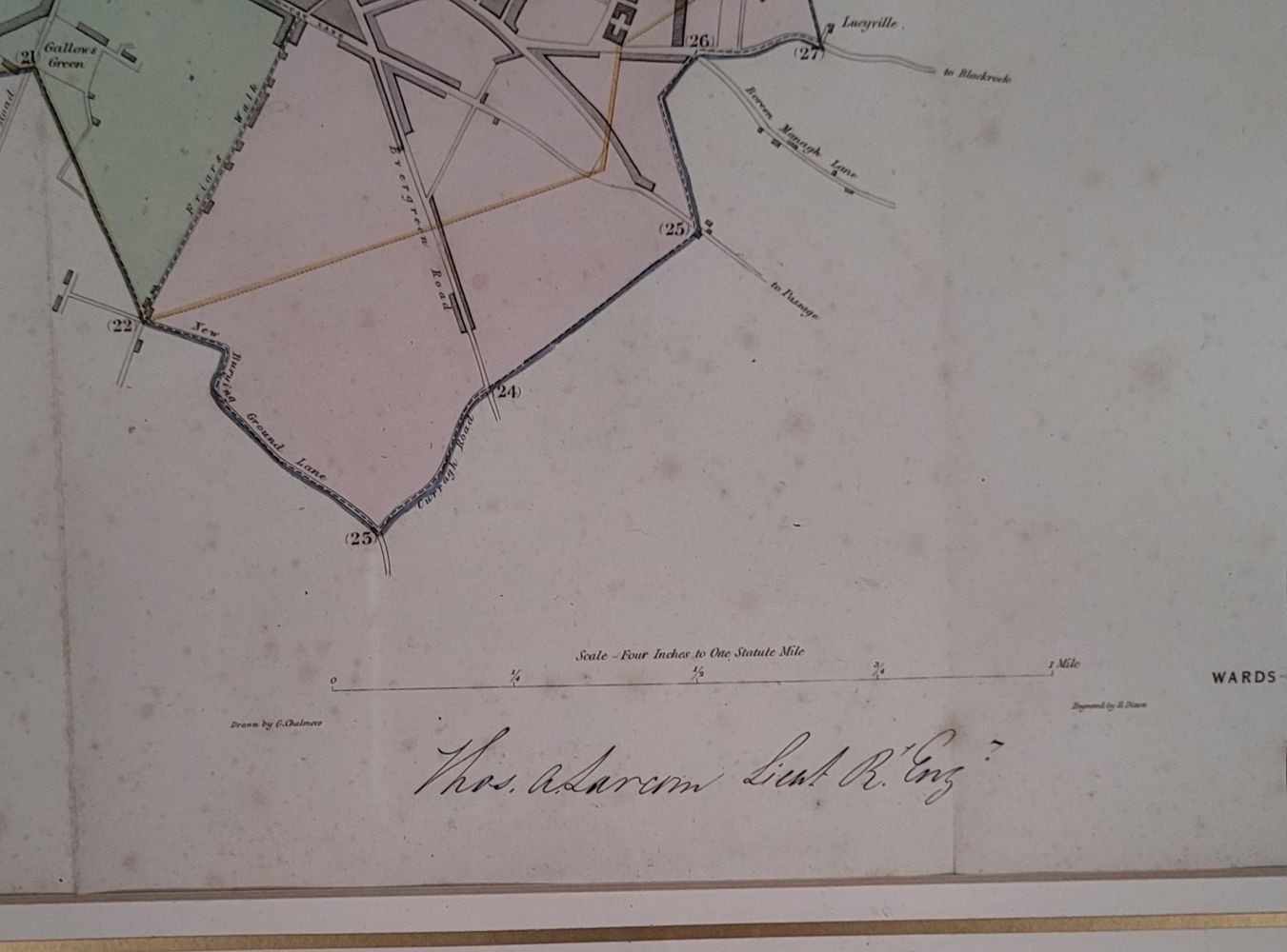
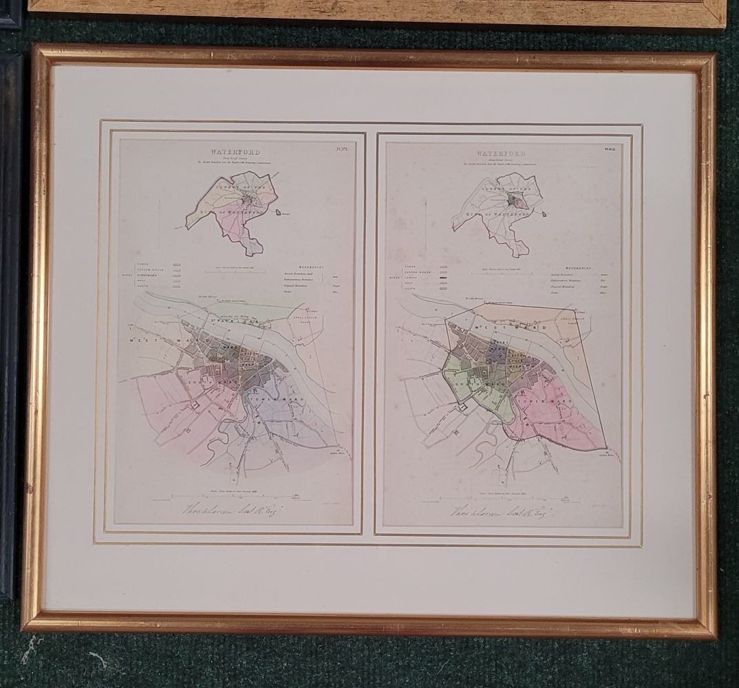
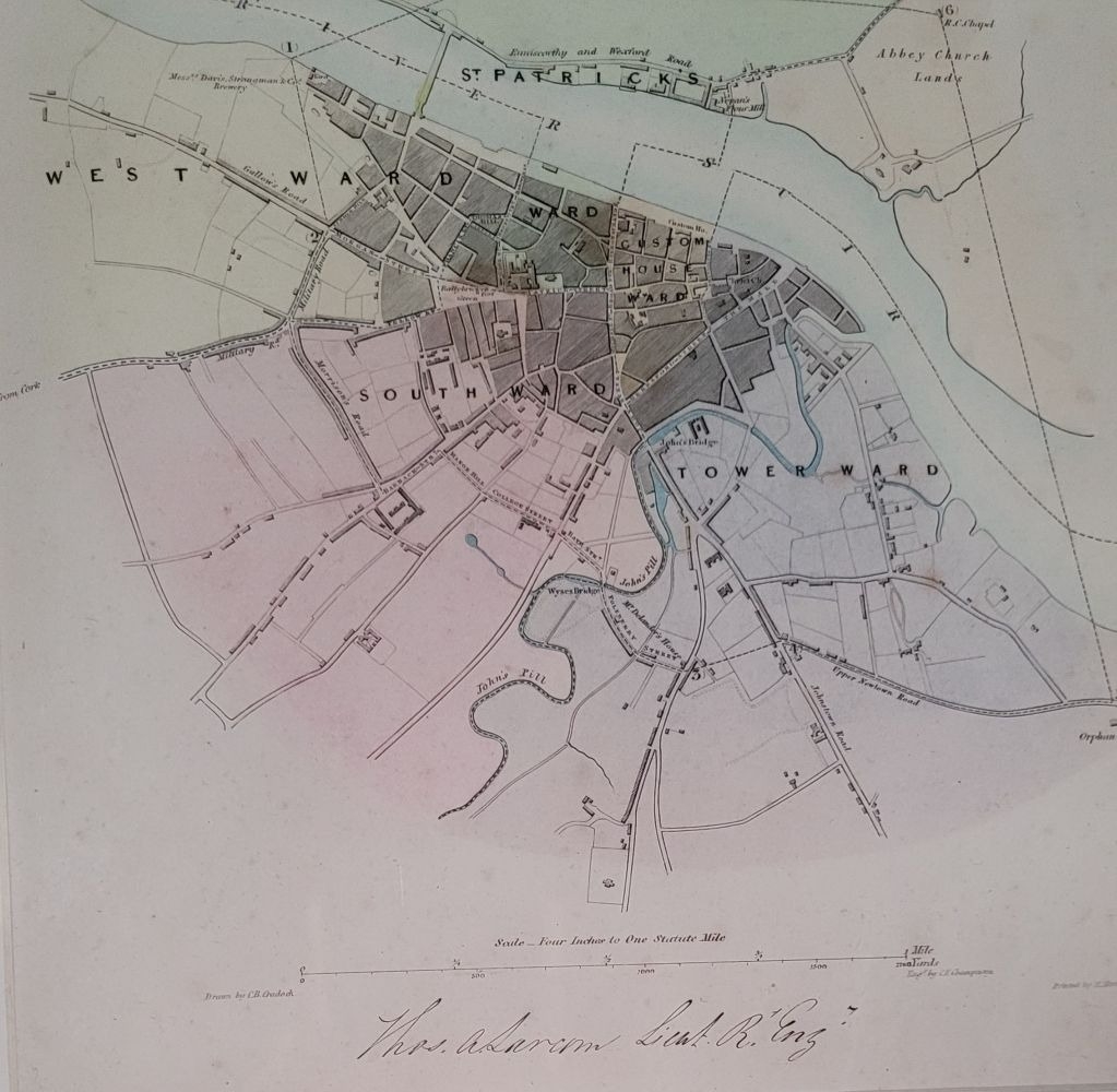
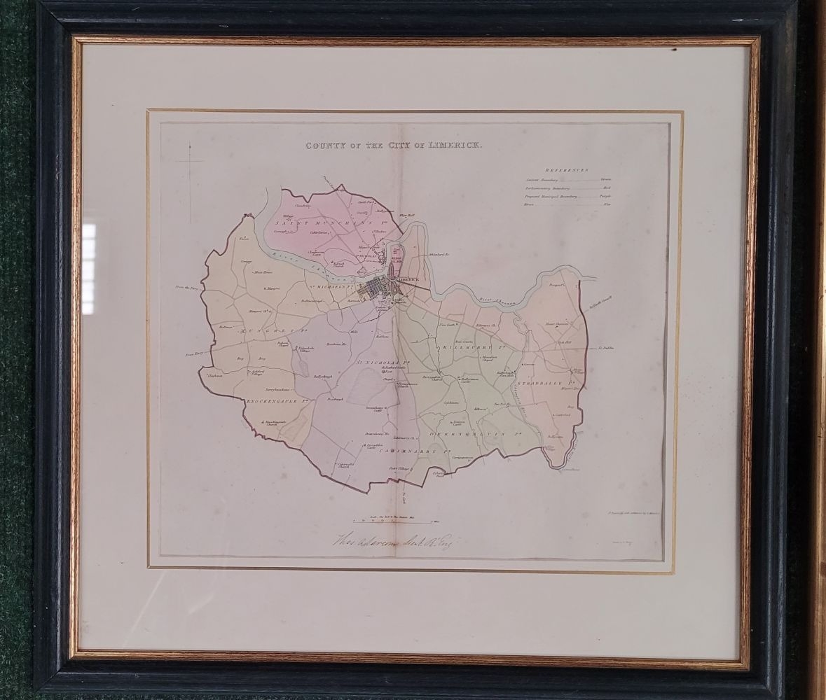
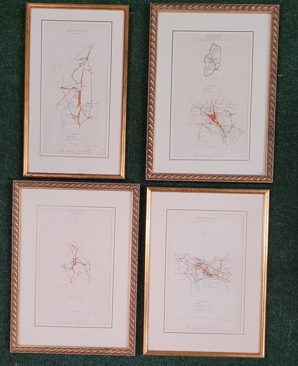
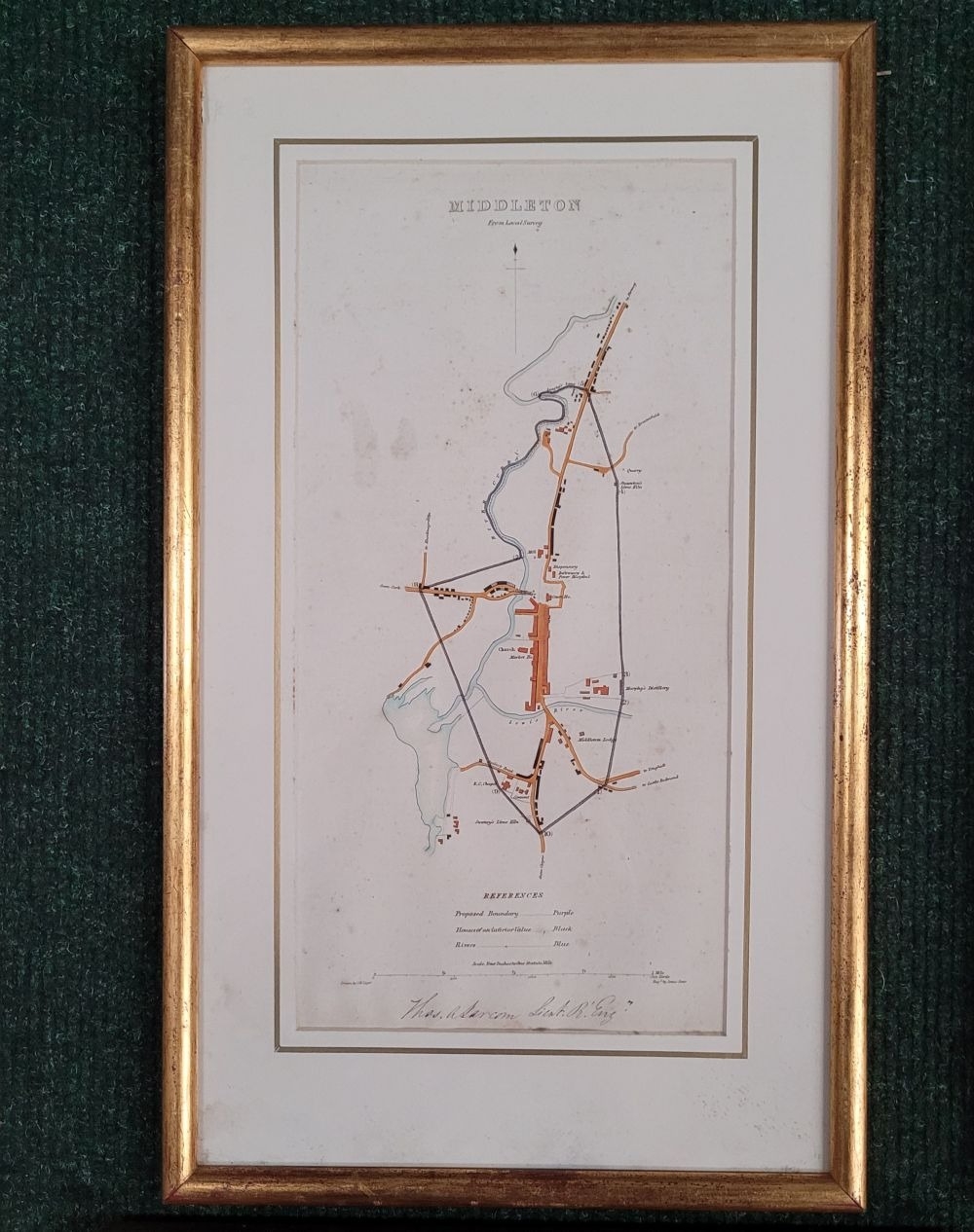
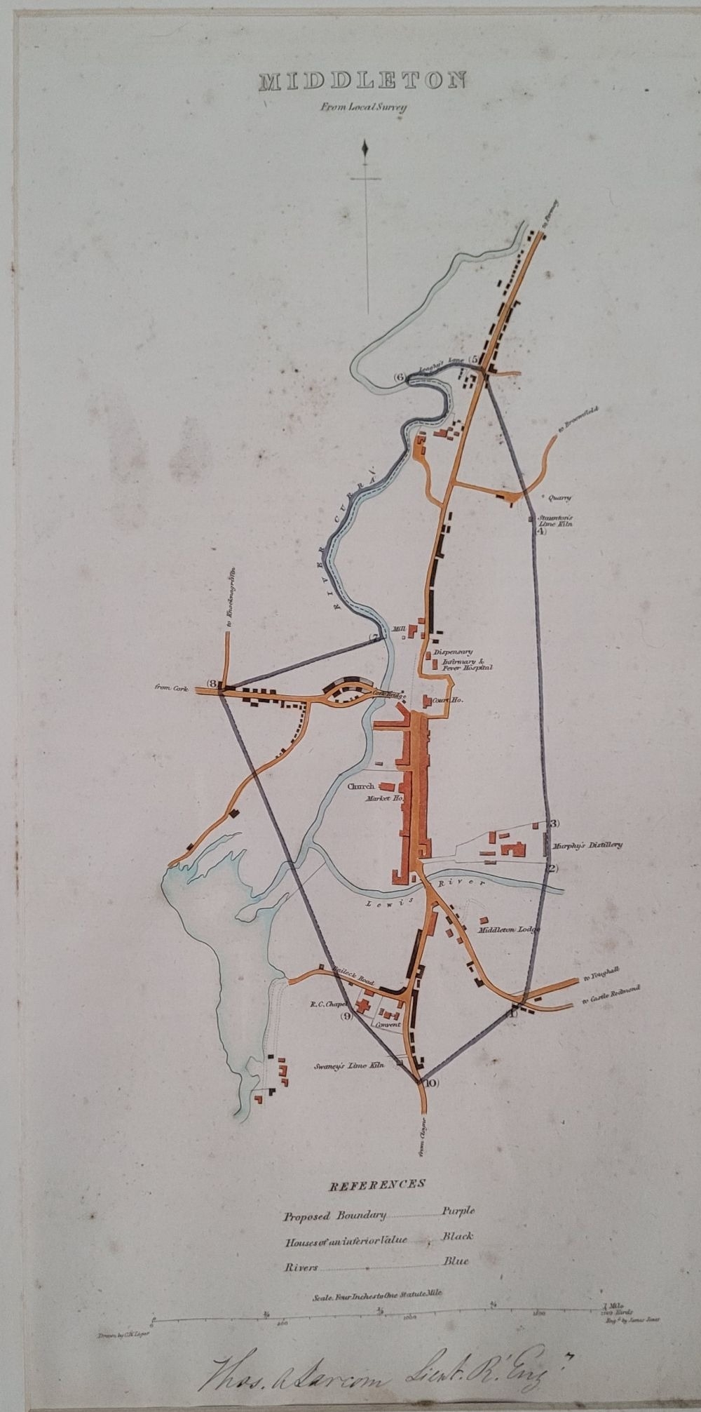
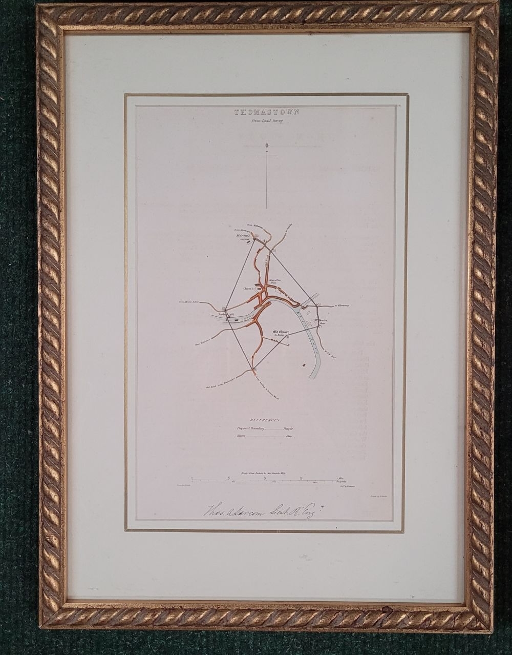
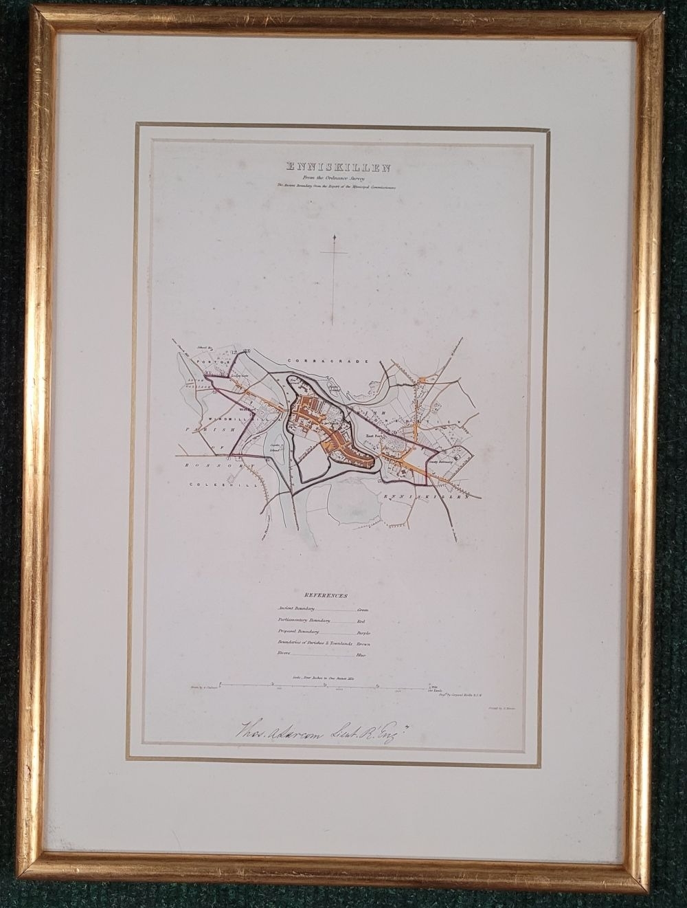
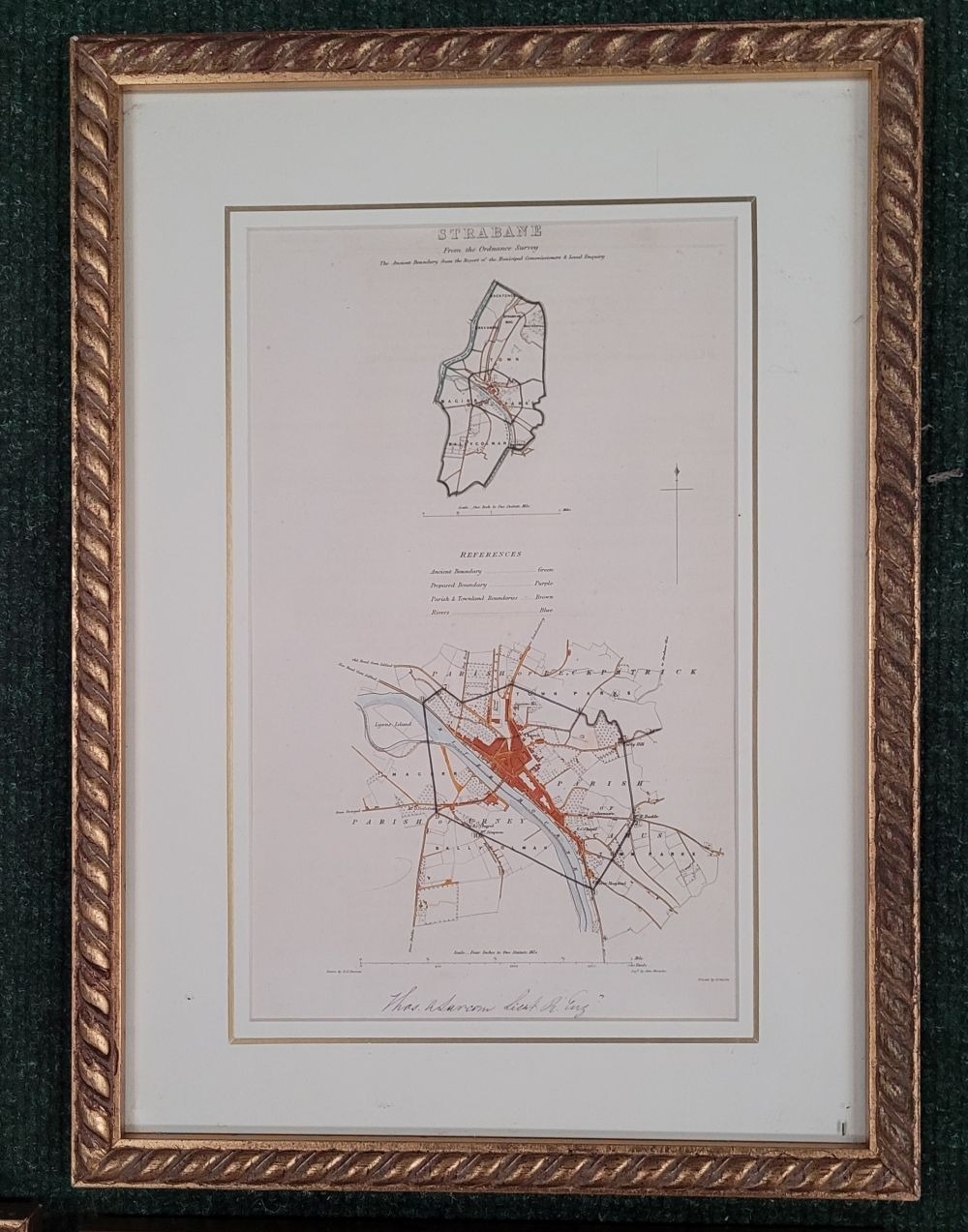
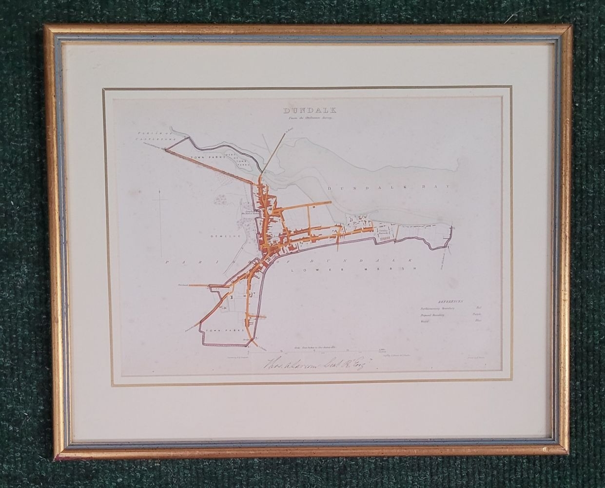
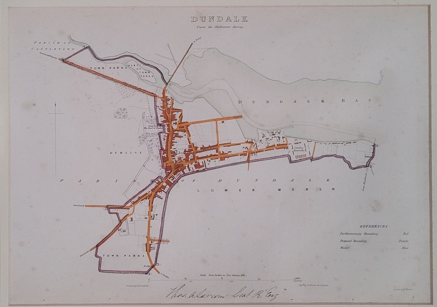
A COLLECTION OF EARLY 19TH CENTURY MAPS: FROM THE MUNICIPAL CORPORATION BOUNDARIES OF IRELAND, which was complied in the early 19th century. It is rare to have all the maps as they were mostly divided up and sold separately, this lot includes 9 of the plates; including: (i) Cork City, drawn by G. Chalmers, engraved by H. Dixon, printed by H. Martin, showing 8 wards of the city. (ii) Limerick, drawn by W.C. Ryan, engraved by George Muir, printed by H. Martin, showing 5 wards. (iii) County of the city of Limerick, printed by H. Martin, showing ancient boundary, parliamentary boundaries, proposed municipal boundary & rivers. (iv) Waterford, two maps framed together. Drawn by C.B. Crudock, engraved by C.F. Champreys, printed by H. Martin. (v) Strabane, drawn by R.E. Barron, engraved by Alex Chisholm, (vi) Dundalk, drawn by F.R. Cradock, engraved by D. Nimmo & J. Paulin, printed by H. Martin. (vii) Middleton, drawn by C. W. Ligar, engraved by James Jones, showing proposed boundary, houses of an inferior value & rivers, (viii) Thomastown, Drawn by J. Boyle, engraved by J. Patterson, printed by H. Martin, (ix) Enniskillen, from the Ordanance Survey, drawn by G Chabners, Engraved by Corperal Keville, printed by H.Martin. (9).
Fees apply to the hammer price:
Free Registration
34.44% inc VAT*
Flat Fee Registration
30.75% inc VAT*