
£250
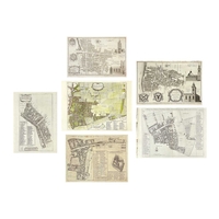
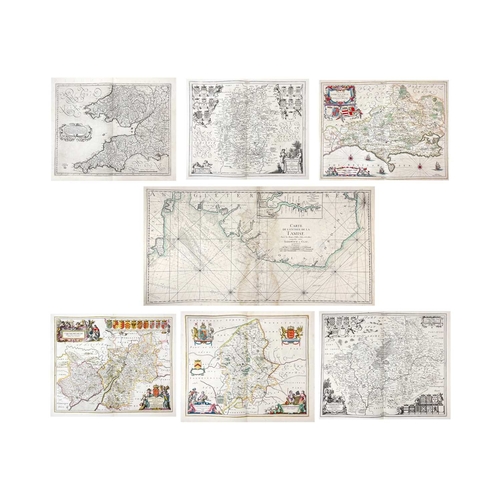
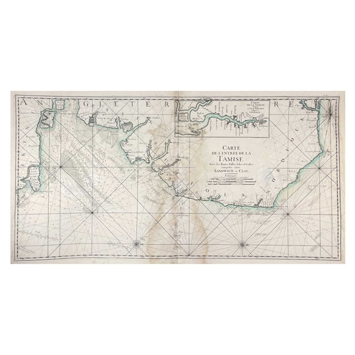
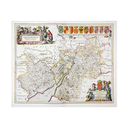
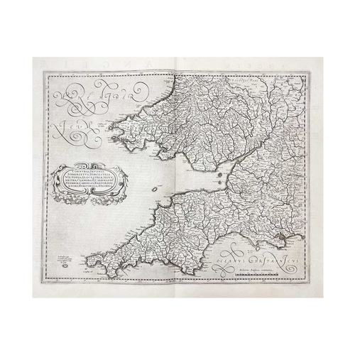
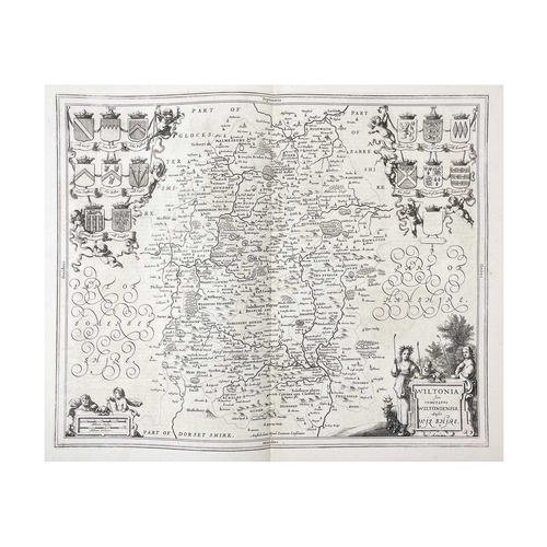
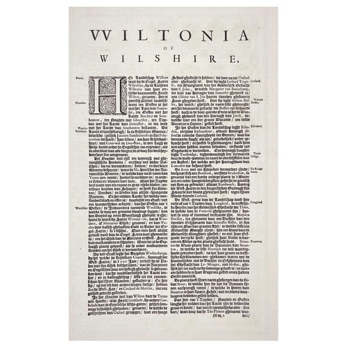
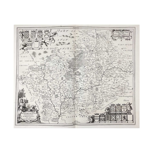
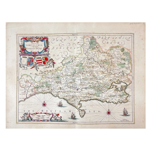
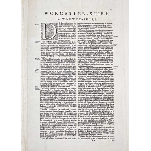
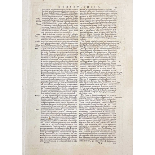
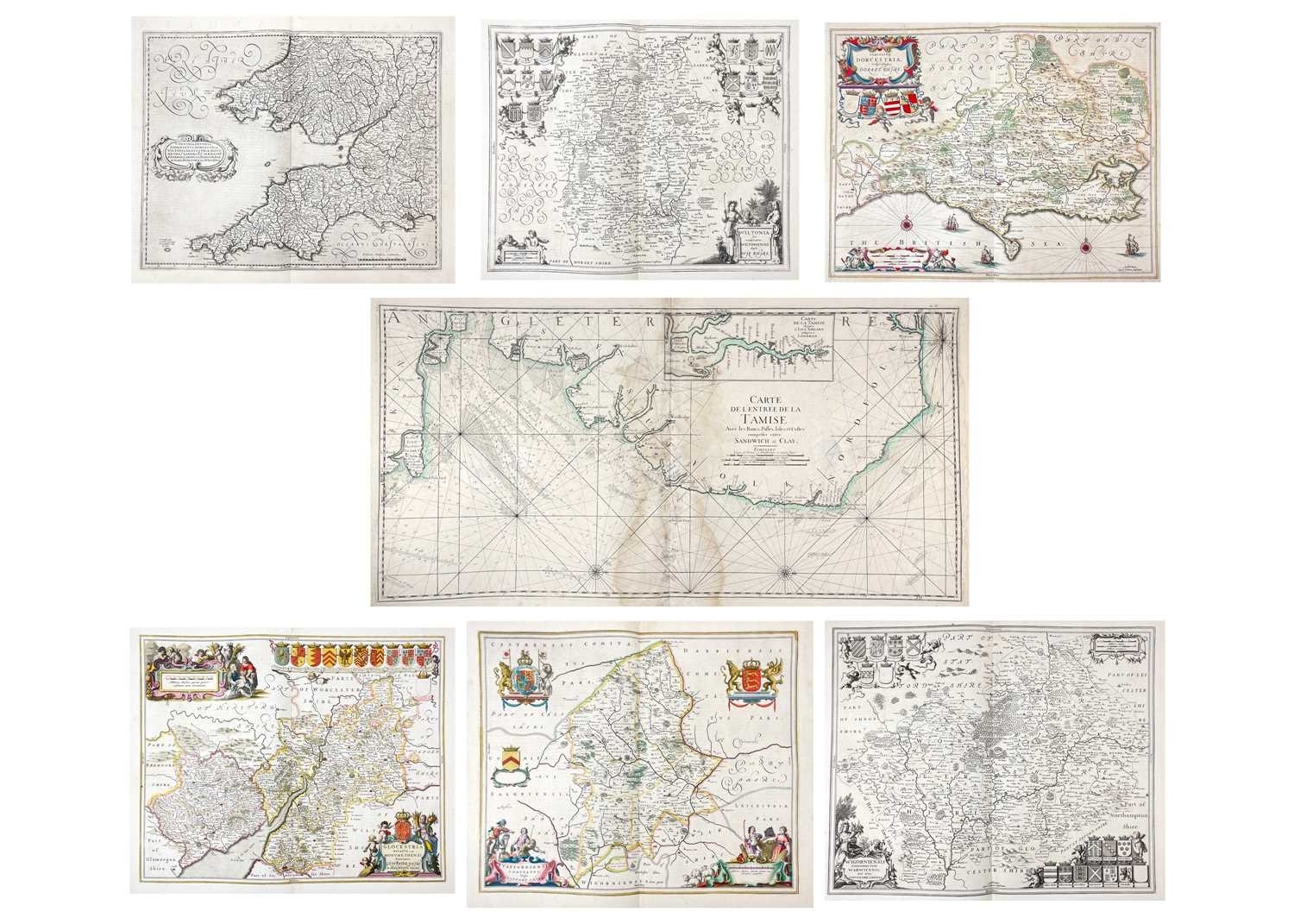
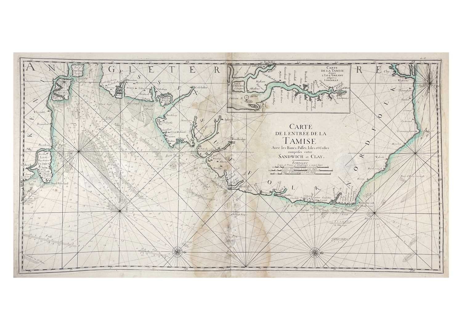
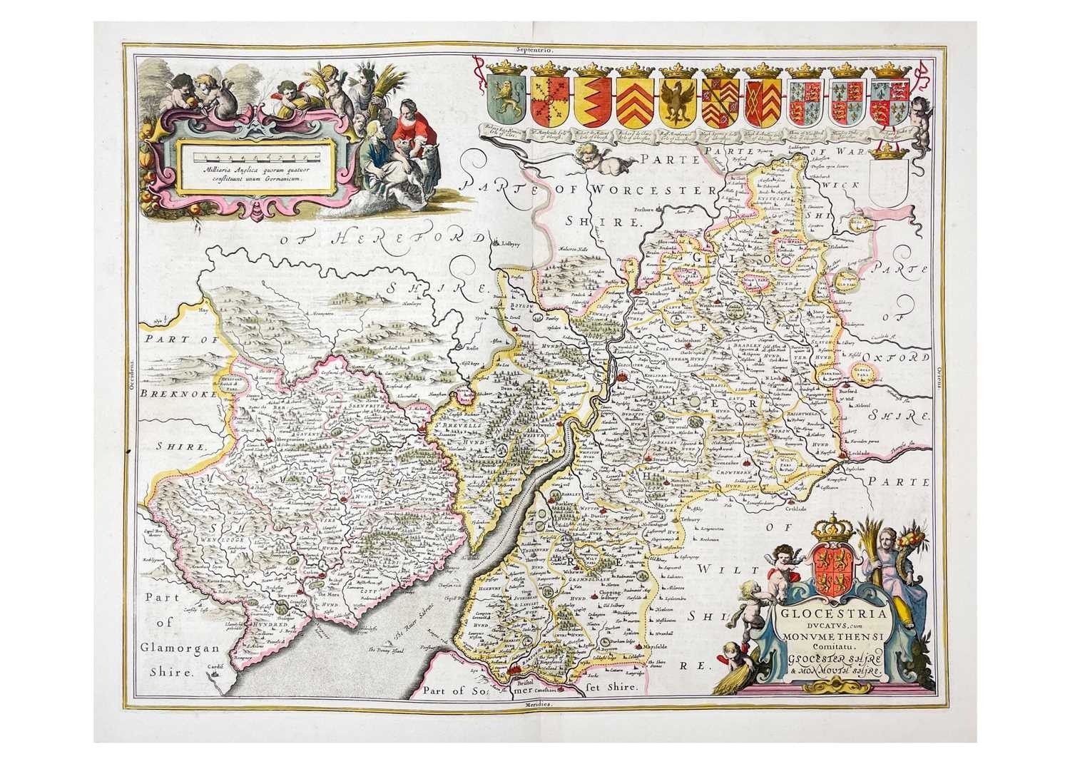
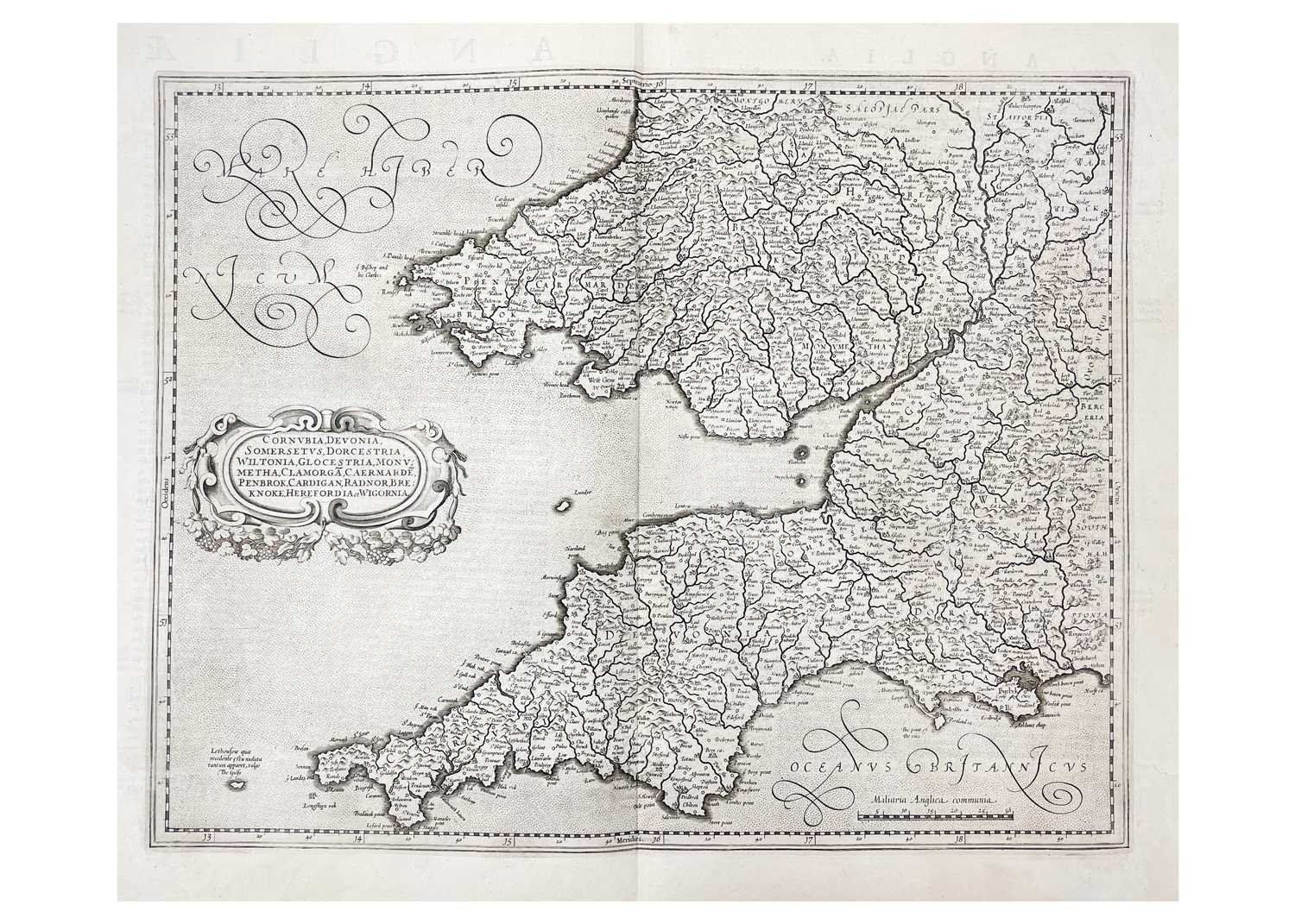
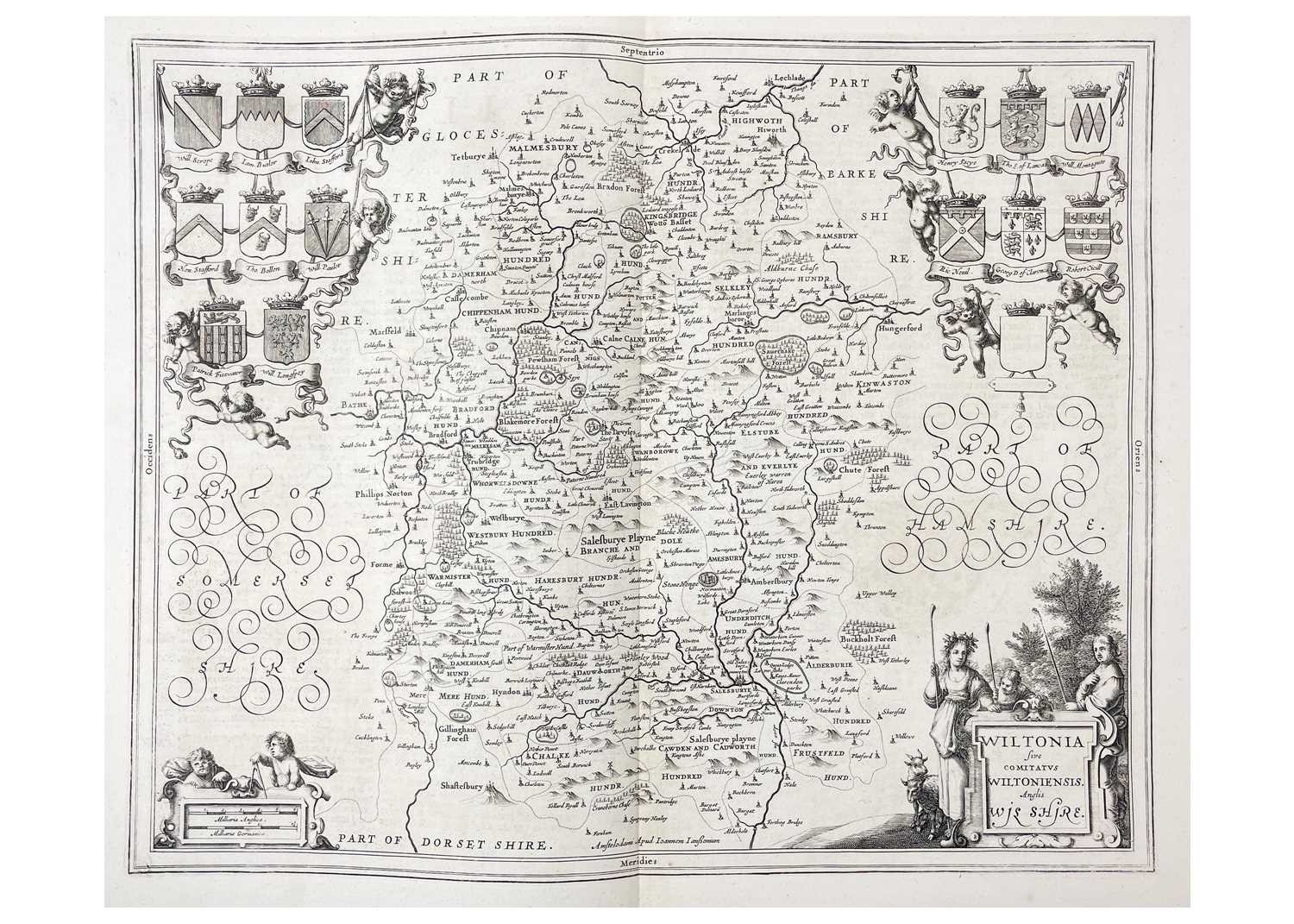
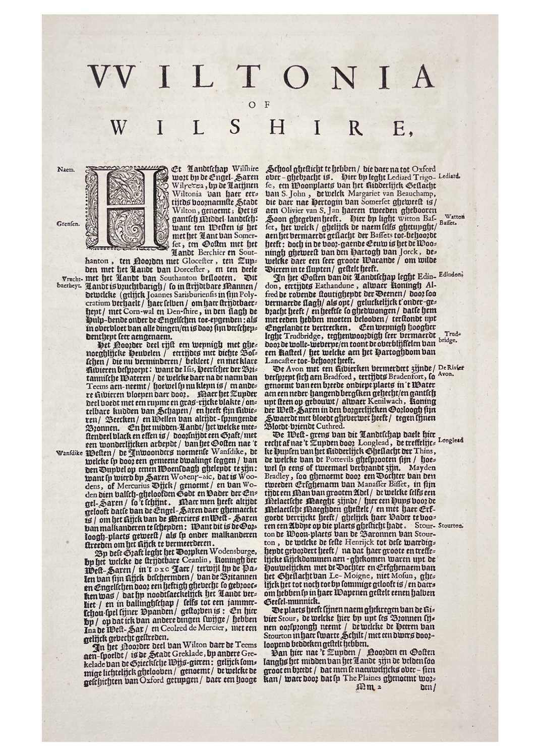
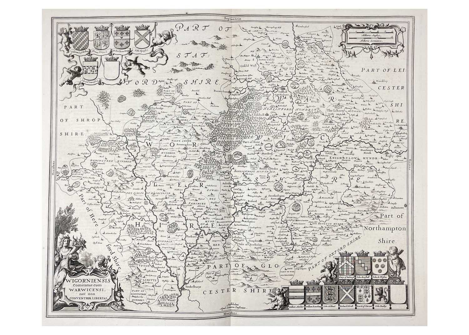
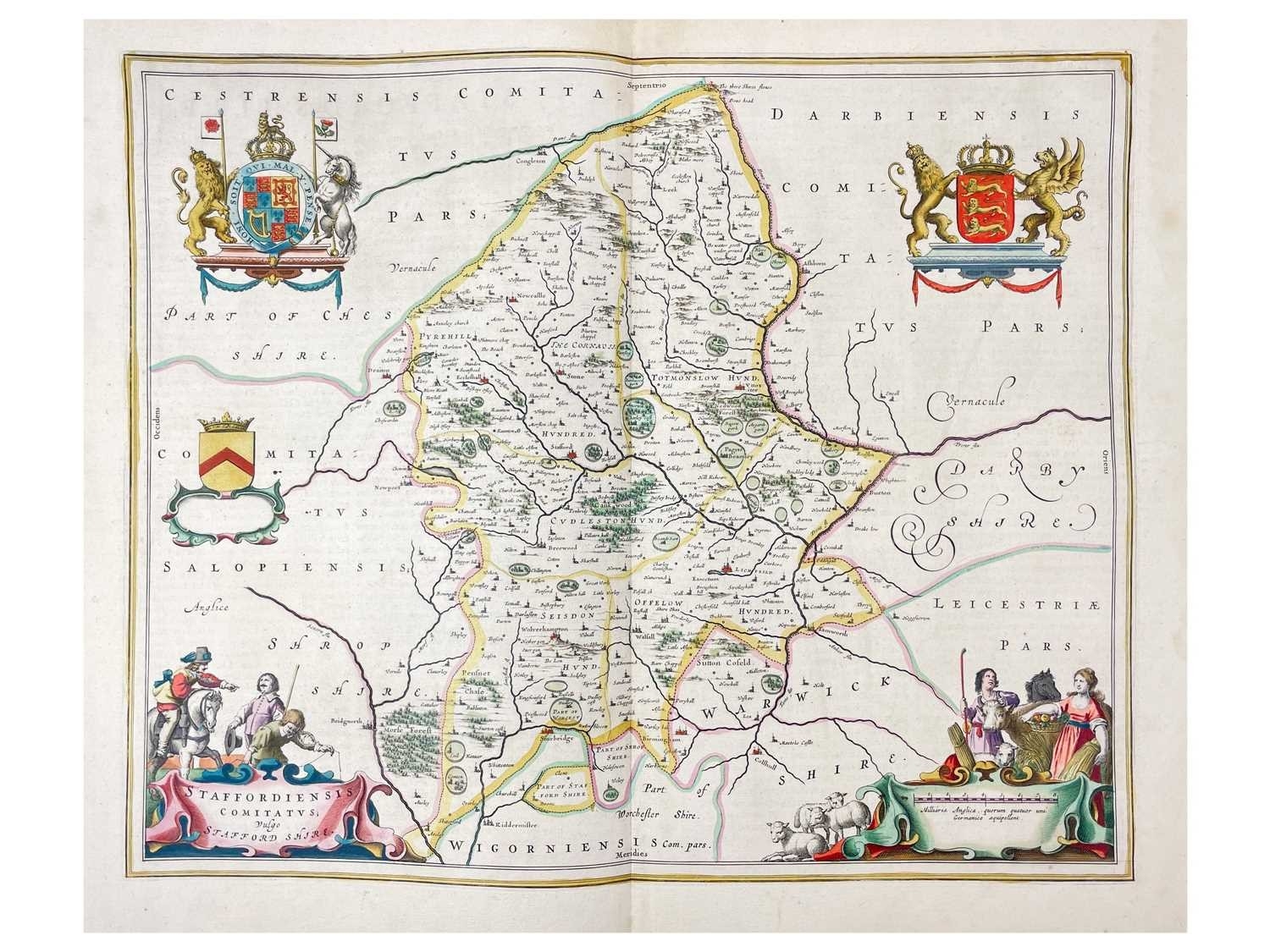
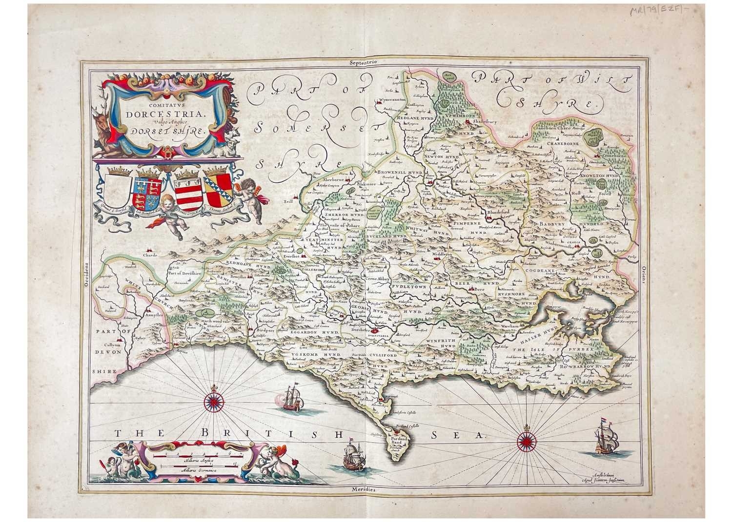
Eighteenth Century Maps Seven Jan Jansson. 'Wiltonia sive comitatus Wiltoniensis Anglis Wilshire,' uncoloured, centre fold, Dutch text to verso, vg, Amsterdam, [c.1648]; 'Comitatus Dorcestria, vulgo Anglice, Dorset Shire,' partially coloured, spotting, centre fold Latin text to verso, Amsterdam, [c.1648]; 'Wigorniensis comitatus cum Warwicensi nec non Coventriae Libertas,' uncoloured, centre fold, Dutch text to verso, vg, Amsterdam, [c.1648]; Bellin, Jacques Nicolas. 'Carte de l`Entree de la Tamise avec les Bancs, Passes, Isles et Costes Comprises Entre Sandwich et Clay,' large scale chart of the eastern coastline of Norfolk, Suffolk and Essex &c., large water marks to centre fold and edges, fair to good, `Le Neptune Francois`, Paris, 1693-1703; With three others. (7)
Fees apply to the hammer price:
Free Registration
28.8% inc VAT*
Flat Fee Registration
25.20% inc VAT*