
£1,000
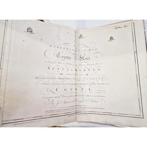
Andrews, John and Drury, W and Herbert, W L
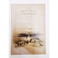
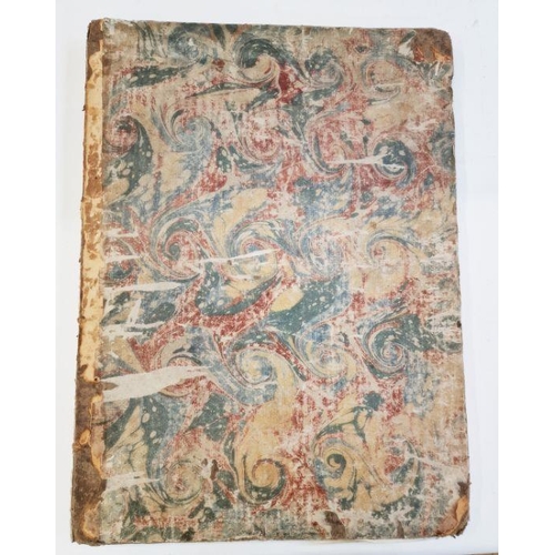
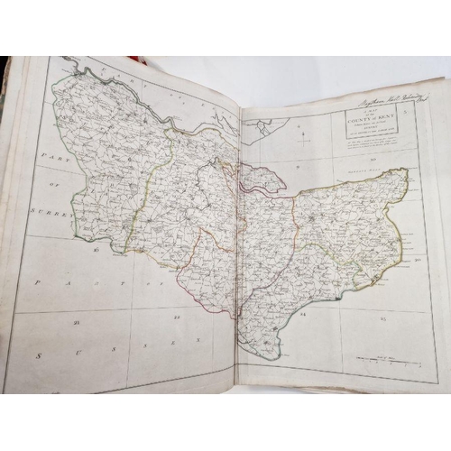
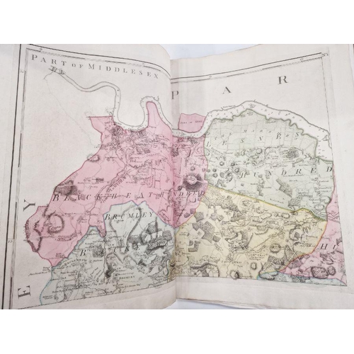
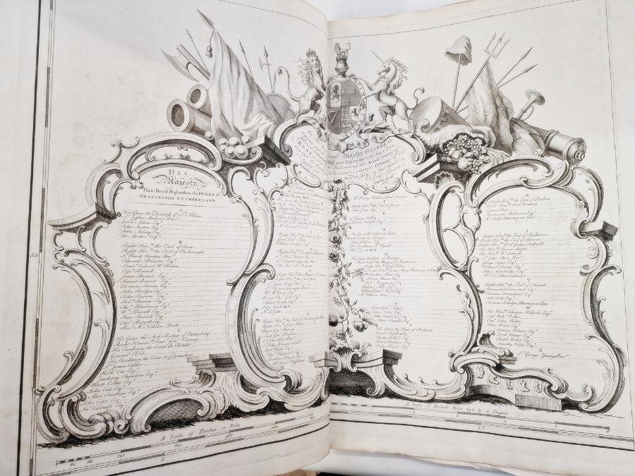
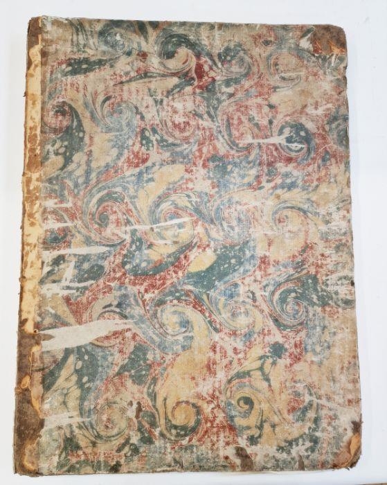
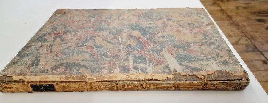
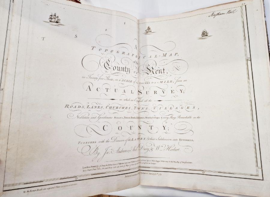
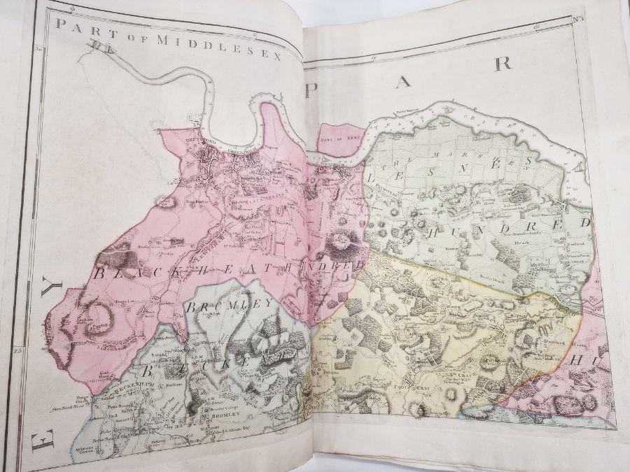
"A Topographical - Map of the County of Kent ... in which are explained all the roads, lanes, churches, towns, villages, etc together with the division of the lathes and their subdivision in two hundreds", published January 1st 1769, inked name top of the tp, double folding plates, map of County of Kent is creased in the centre of the double page, biro written name and date top right hand corner of the ffep, elephant folio, contemporary marbled boards, quarter leather which has mainly rubbed away and little remaining of the backstrip bar the pastedown title
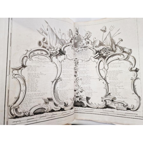
all 25 maps are present, plus title page and subscription page
Fees apply to the hammer price:
Free Registration
32.4% inc VAT*
Flat Fee Registration
28.80% inc VAT*