


£50
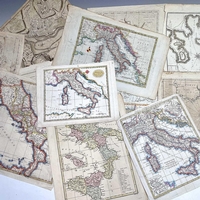
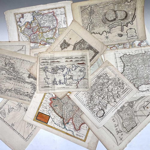
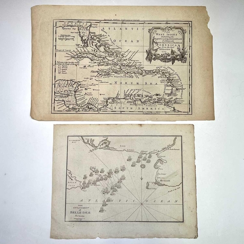
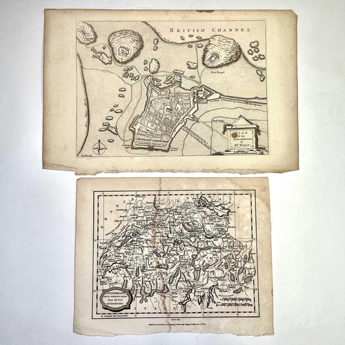
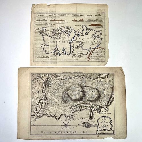
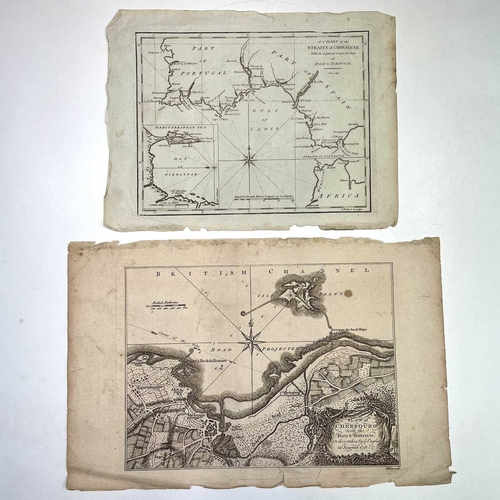
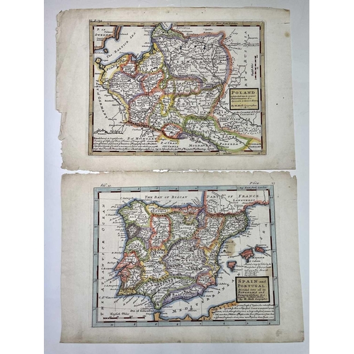
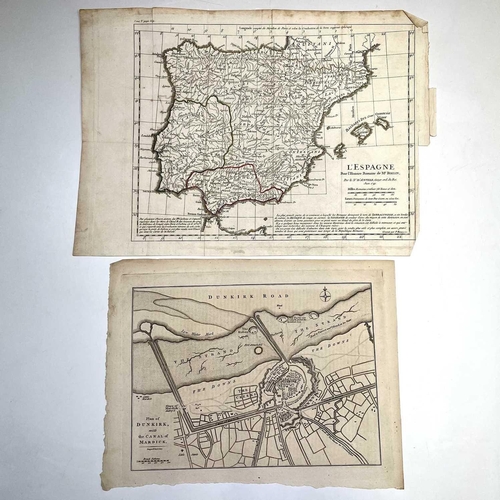
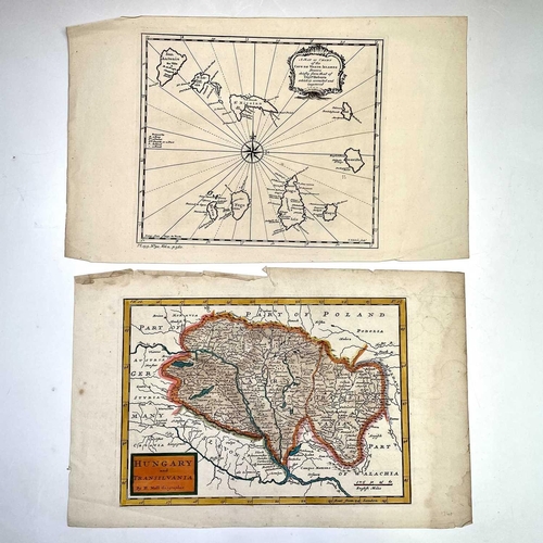
MAPS. 'A Map of Falklands Islands,' engraved by John Lodge, numerous coastal profiles, some later hand colouring, The Gentleman's Magazine, London, 1770. 21cm x 26.5cm; HERMAN MOLL. 'Spain and Portugal Divided into all its Kingdoms.....,' engraved map, later hand coloured borders, T. Bowles, London, 1740. 24cm x 33.5cm; With two other Moll's (Poland and Hungary) and ten other 18th century maps including The West Indies, Dunkirk, 'The Engagement off Belle-Isle,' and 'L'Espagne,' by Rollin. (14)
Fees apply to the hammer price:
Free Registration
25.2% inc VAT*
Flat Fee Registration
21.60% inc VAT*