


£200
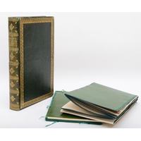
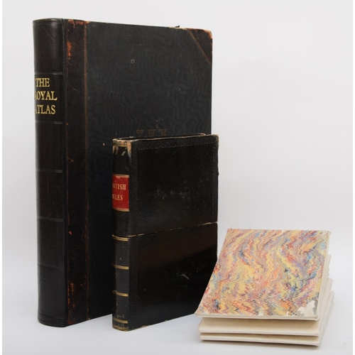
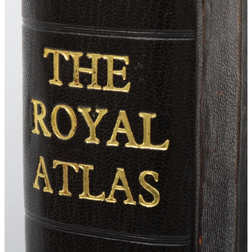
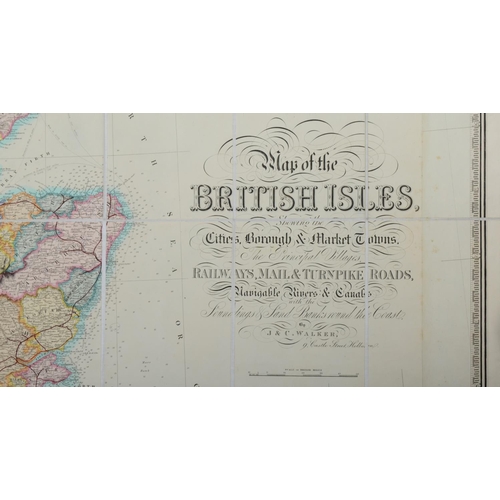
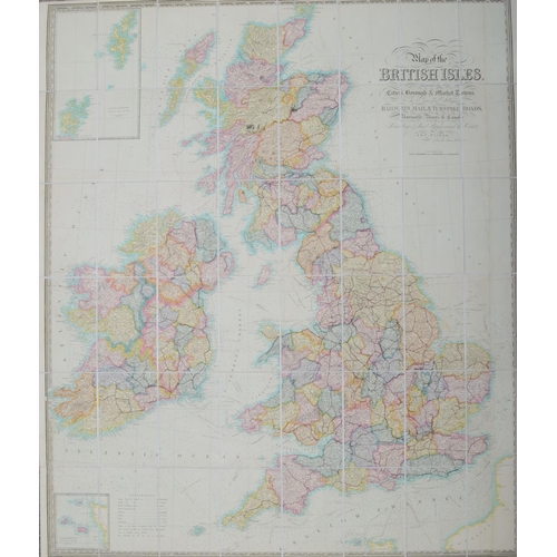
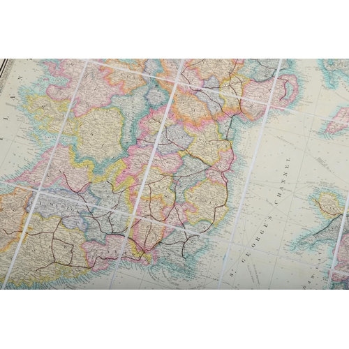
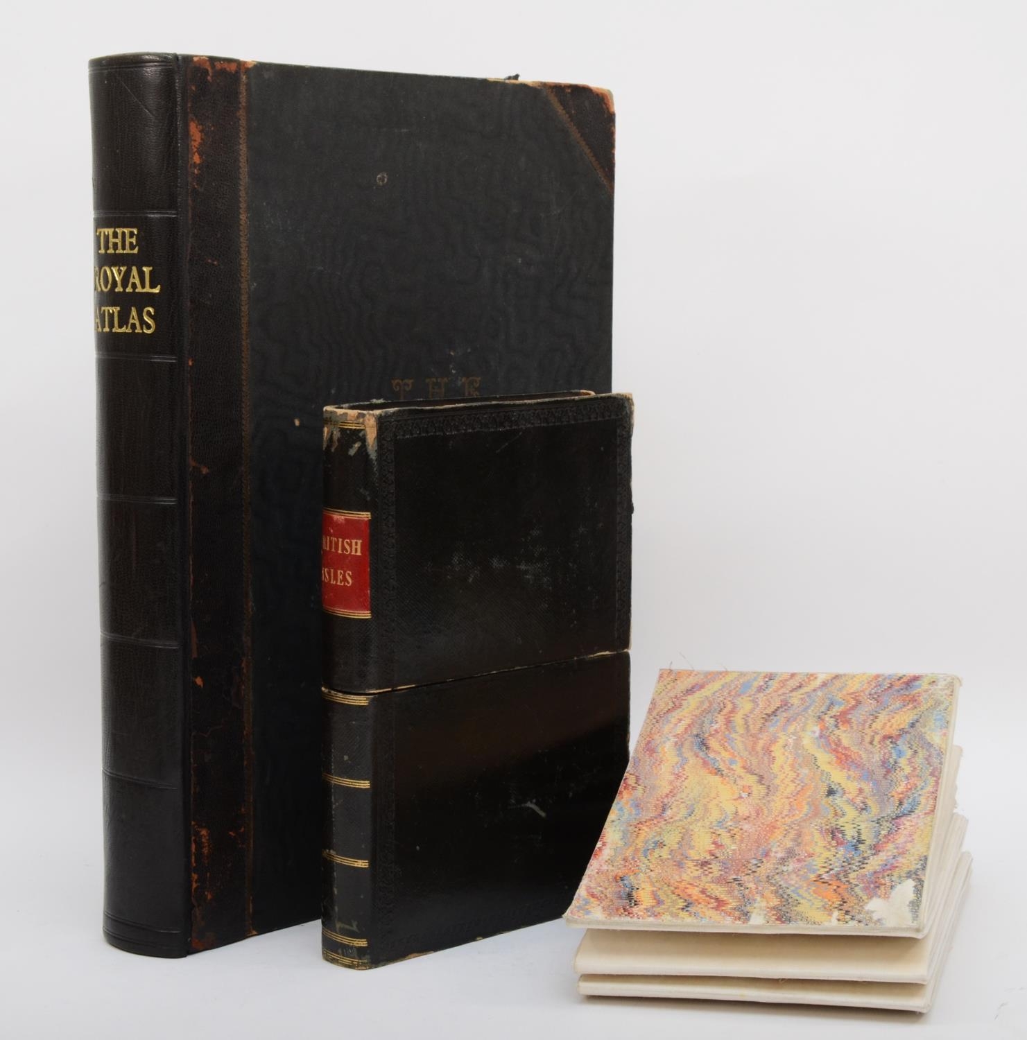
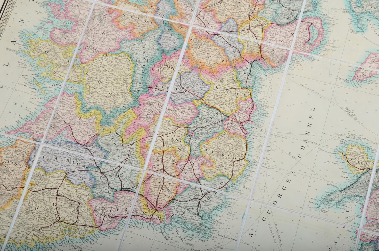
Walker, J & C. Map of the British Isles shewing the Cities, Borough & Market Towns, the principle Villages, Railways, Mail & Turnpike Roads. London 1847. Linen backed and housed in a calf solander box and Bartholomew, J.G. The Royal Atlas of England and Wales. London. George Newnes Ltd. Circa 1900. Bound volume with 70 maps. (2)
The Map of the British Isles – good condition showing no damage, only age related wear and tear.
The Royal Atlas of England and Wales – has some staining and foxing to several pages/maps.
We can offer only a ‘wrap and pack’ service on this lot at a cost of £12.00 + VAT
Fees apply to the hammer price:
Free Registration
27.6% inc VAT*
Flat Fee Registration
24.00% inc VAT*