

£110
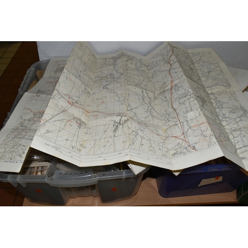
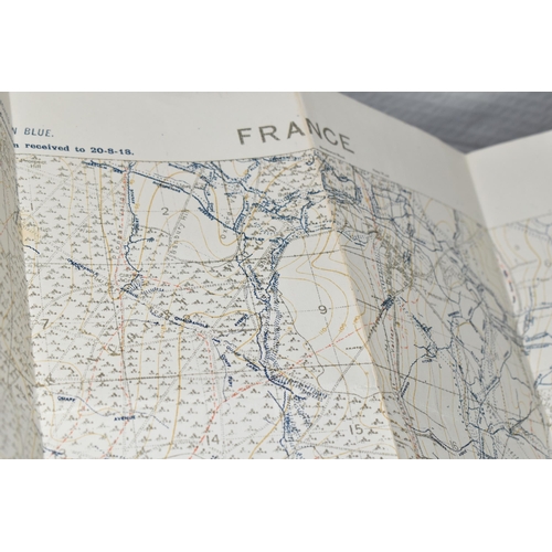
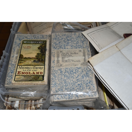
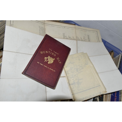
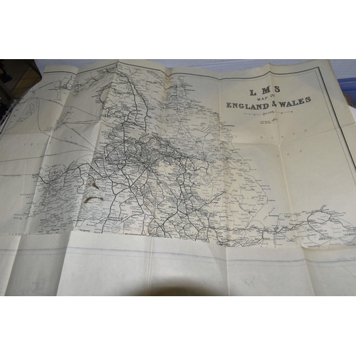
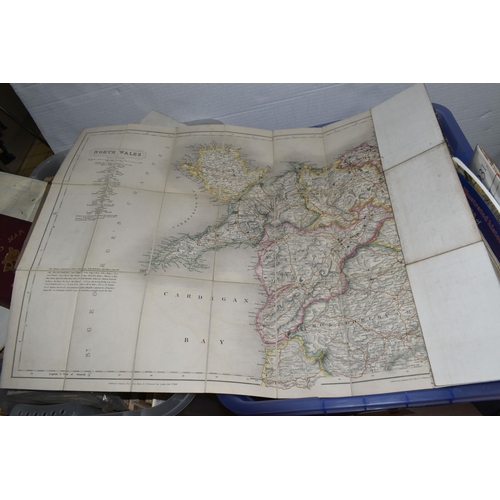
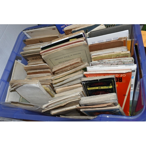
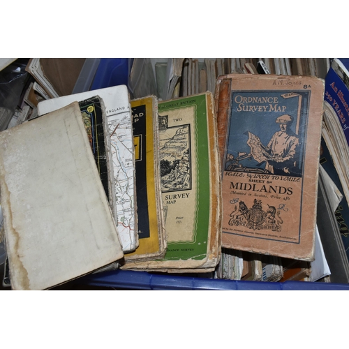
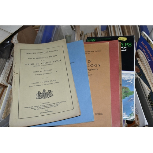
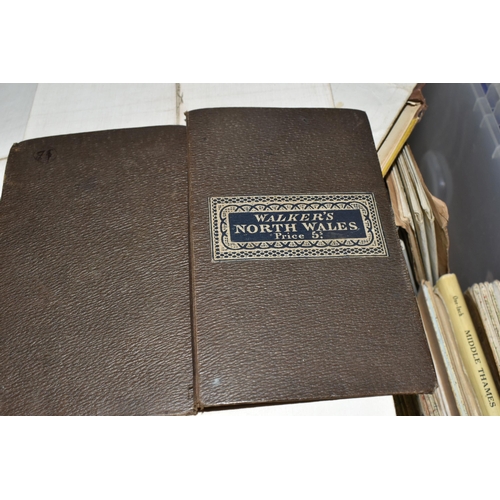
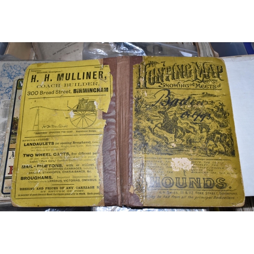
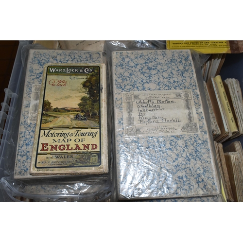
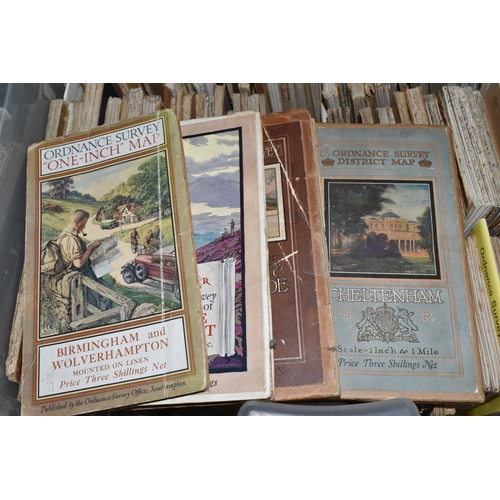
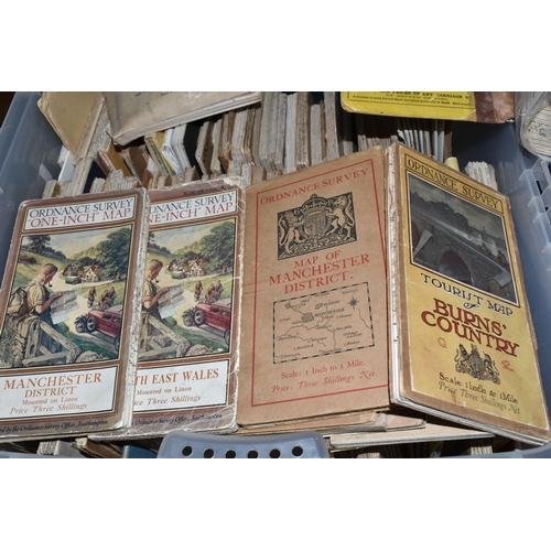
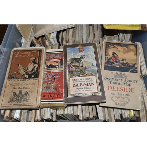
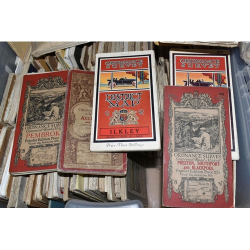
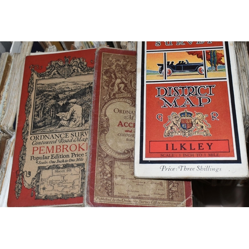
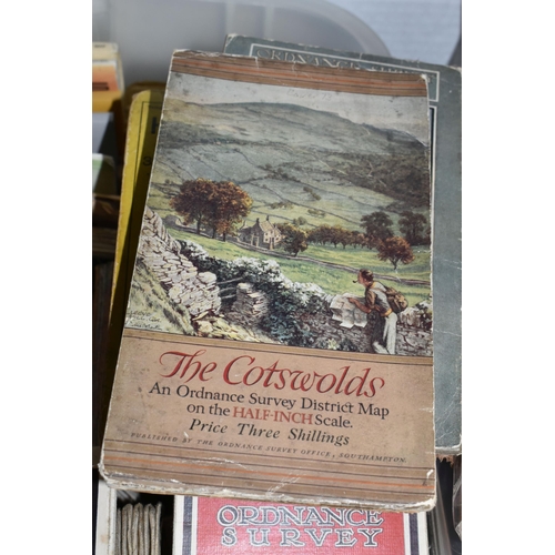
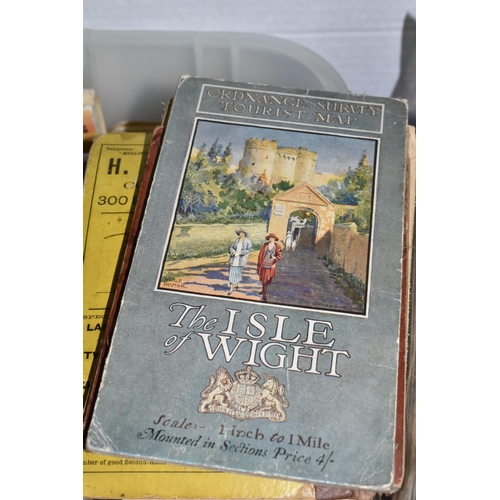
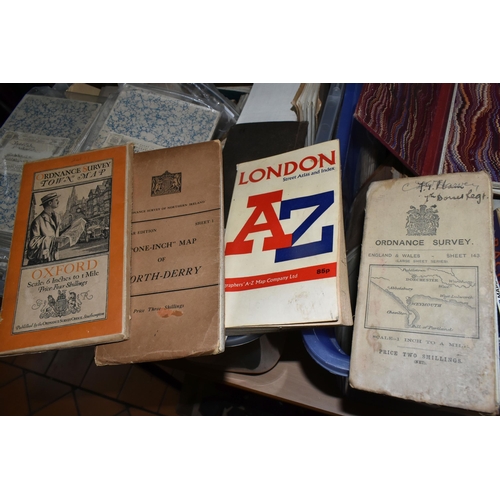
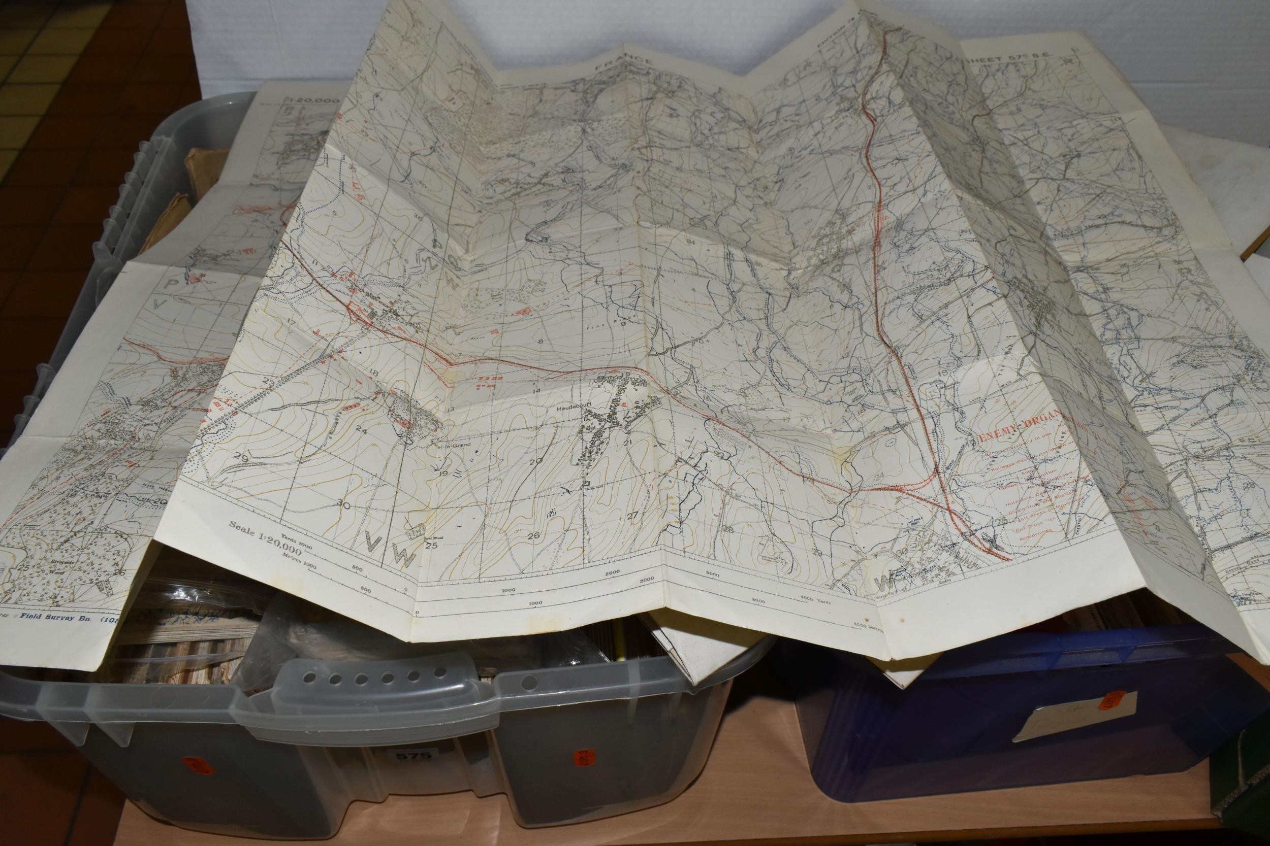
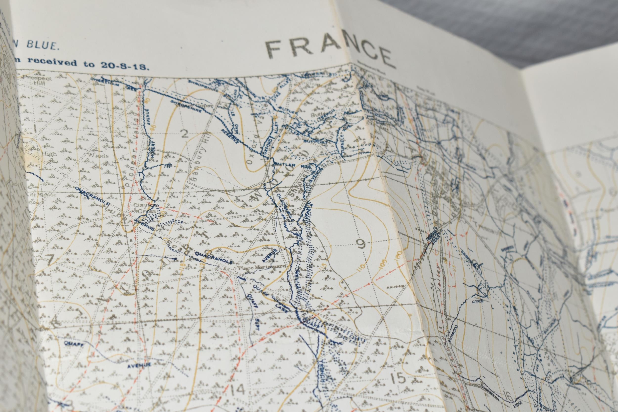
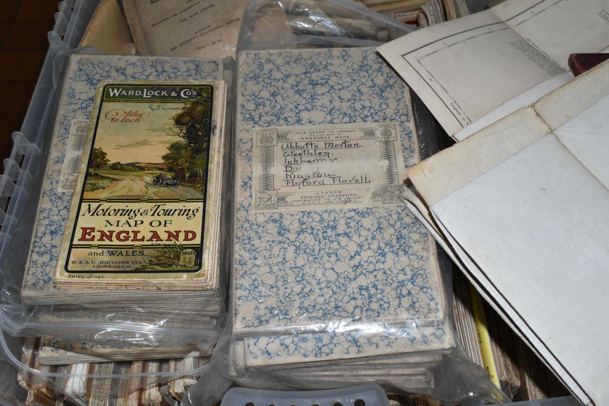
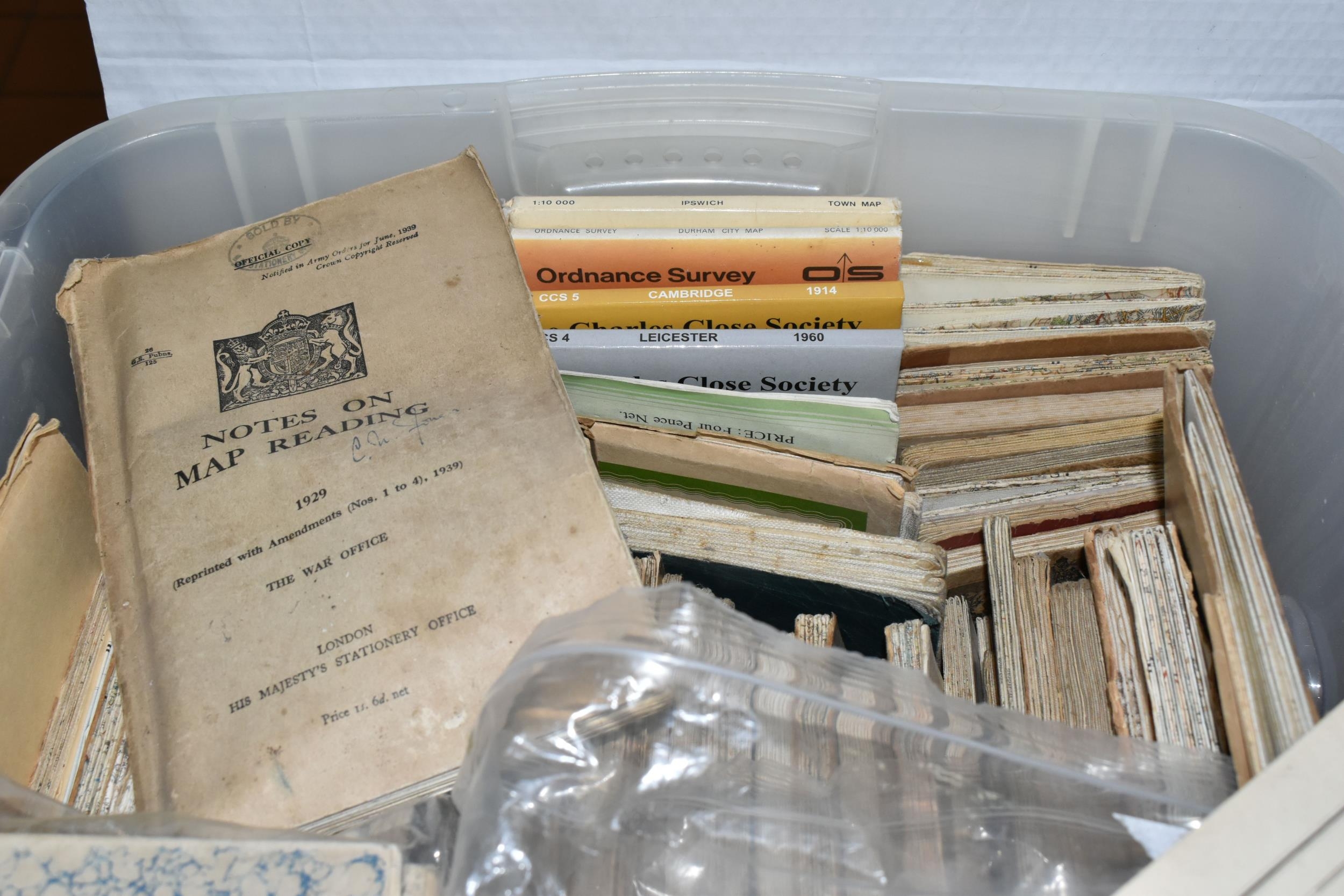
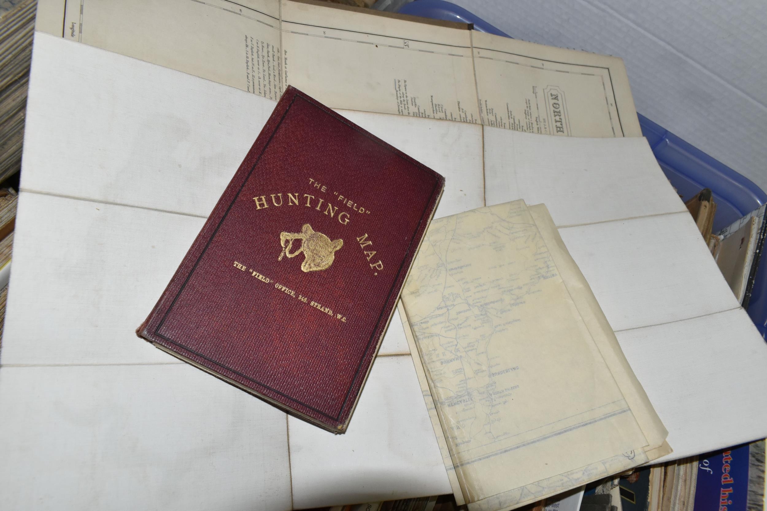
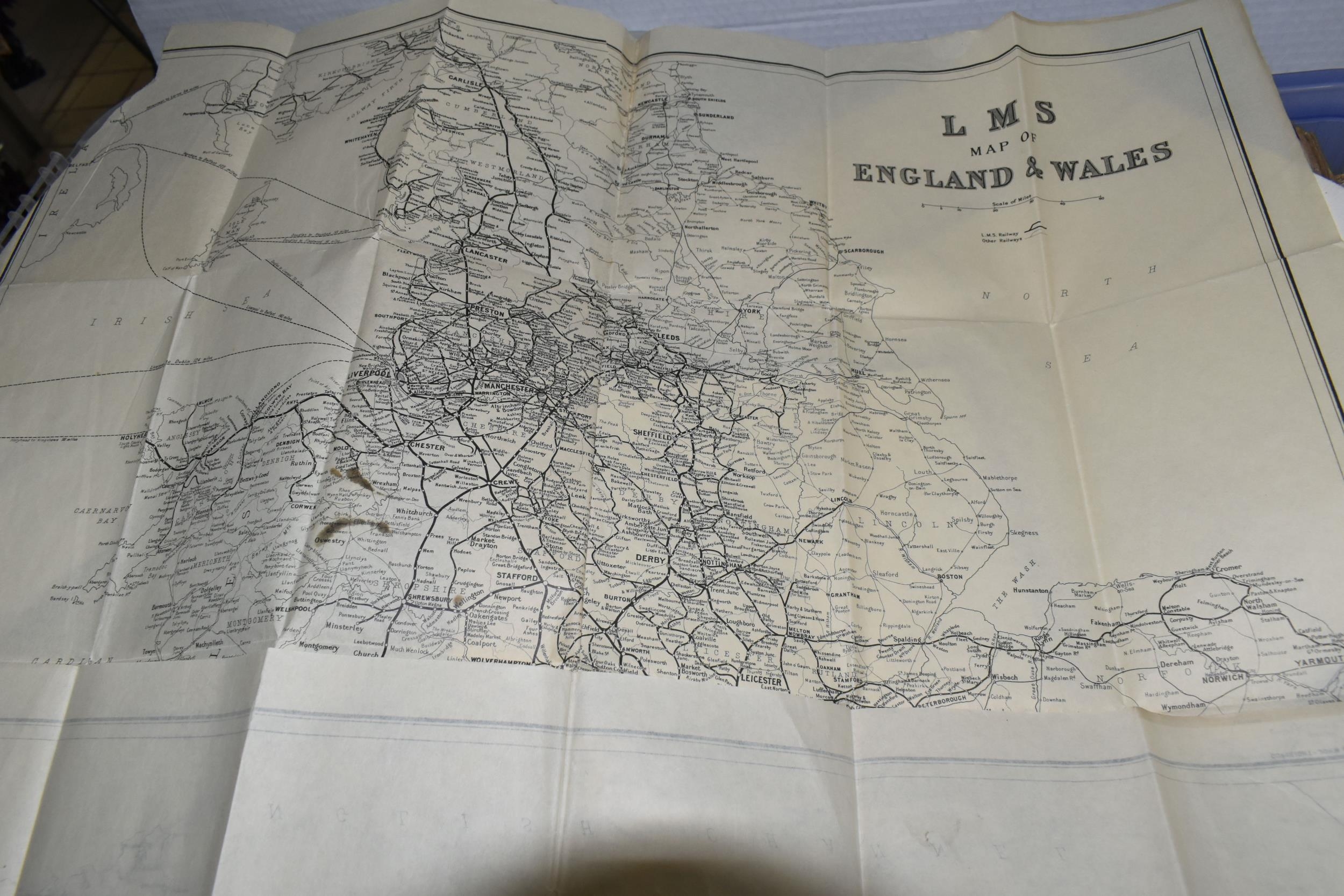
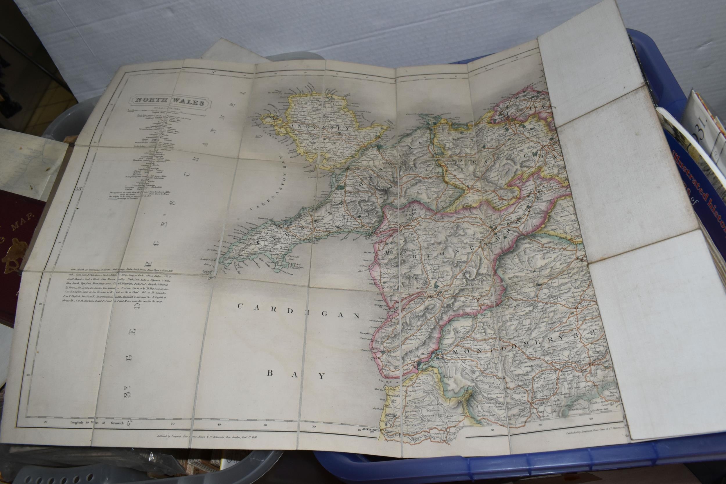
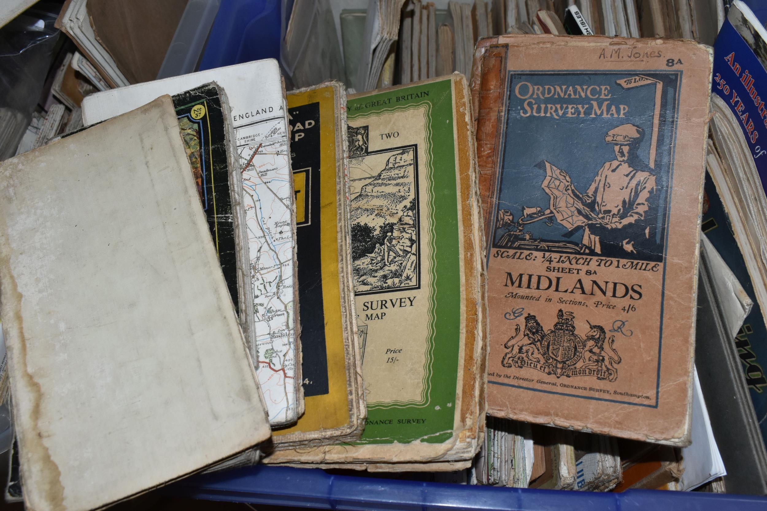
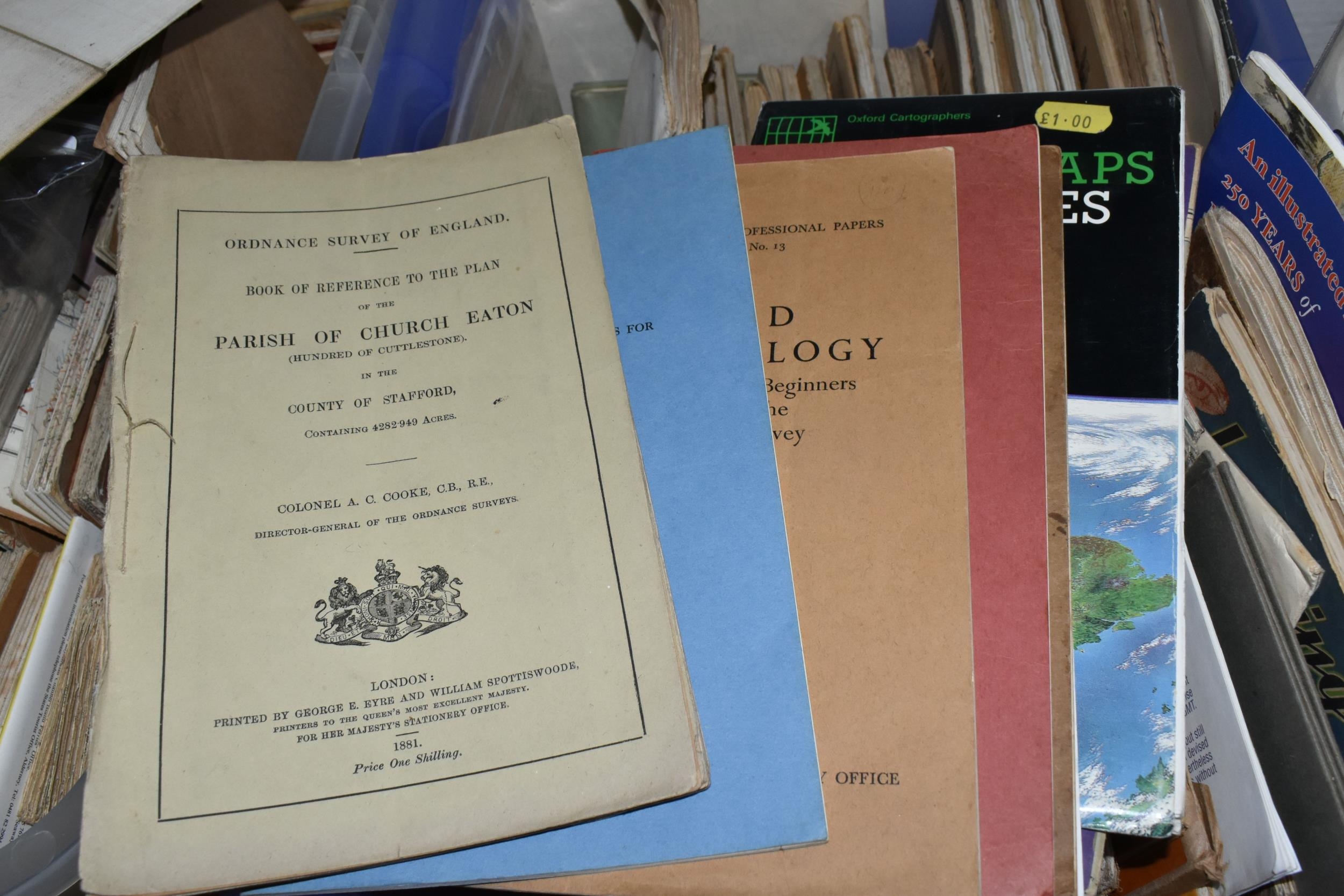
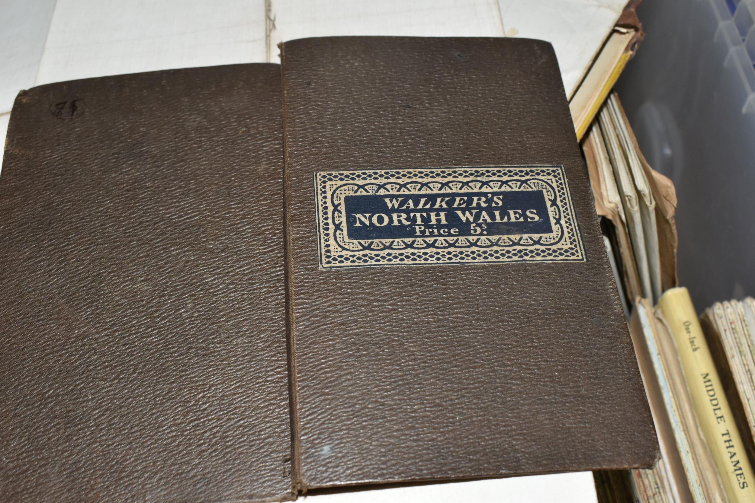
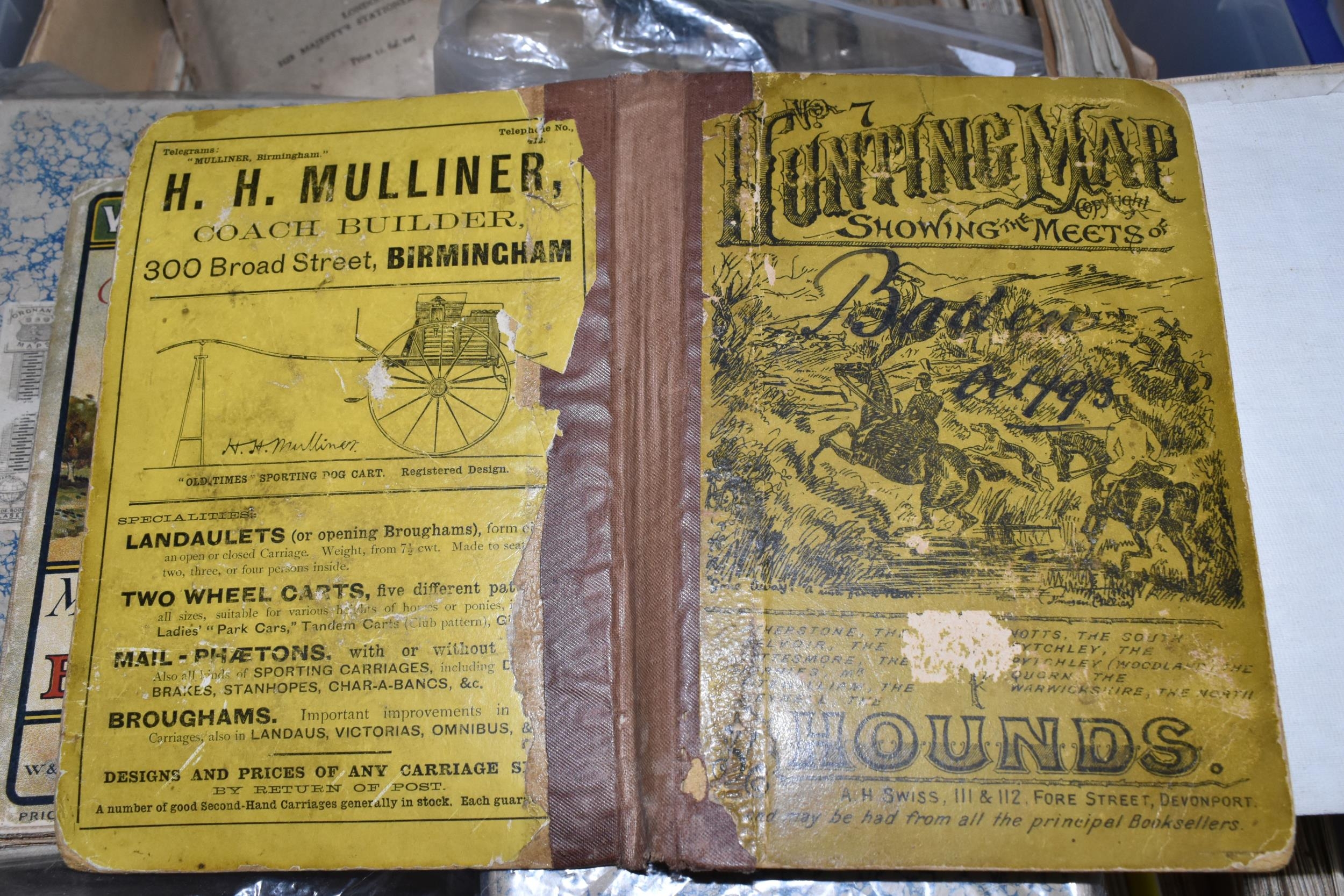
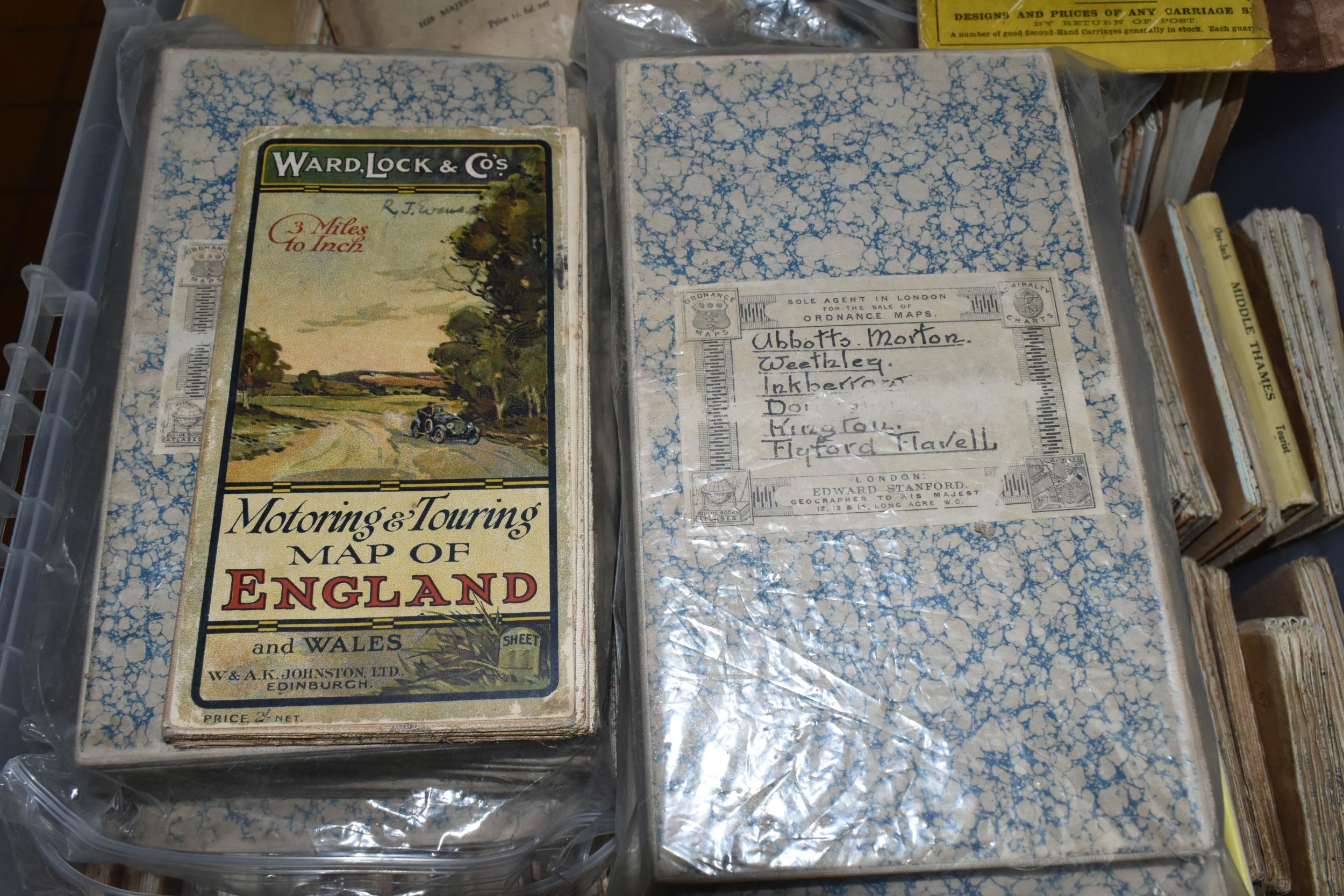
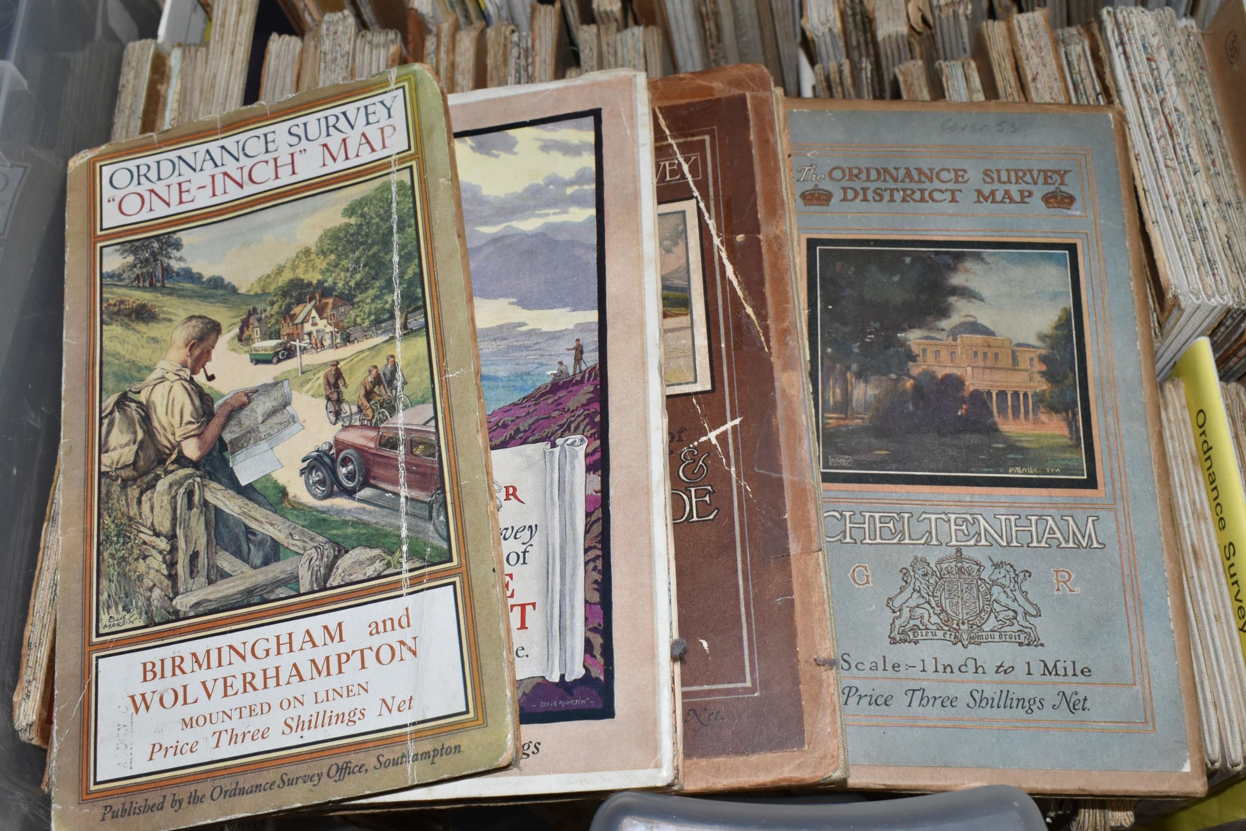
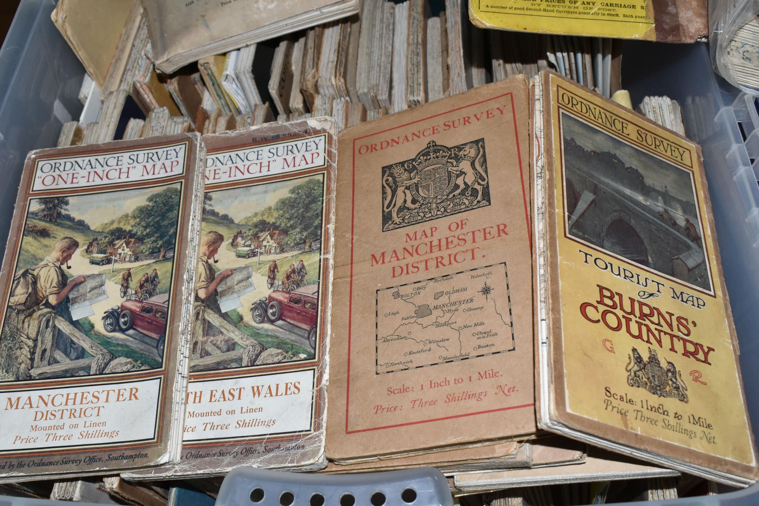
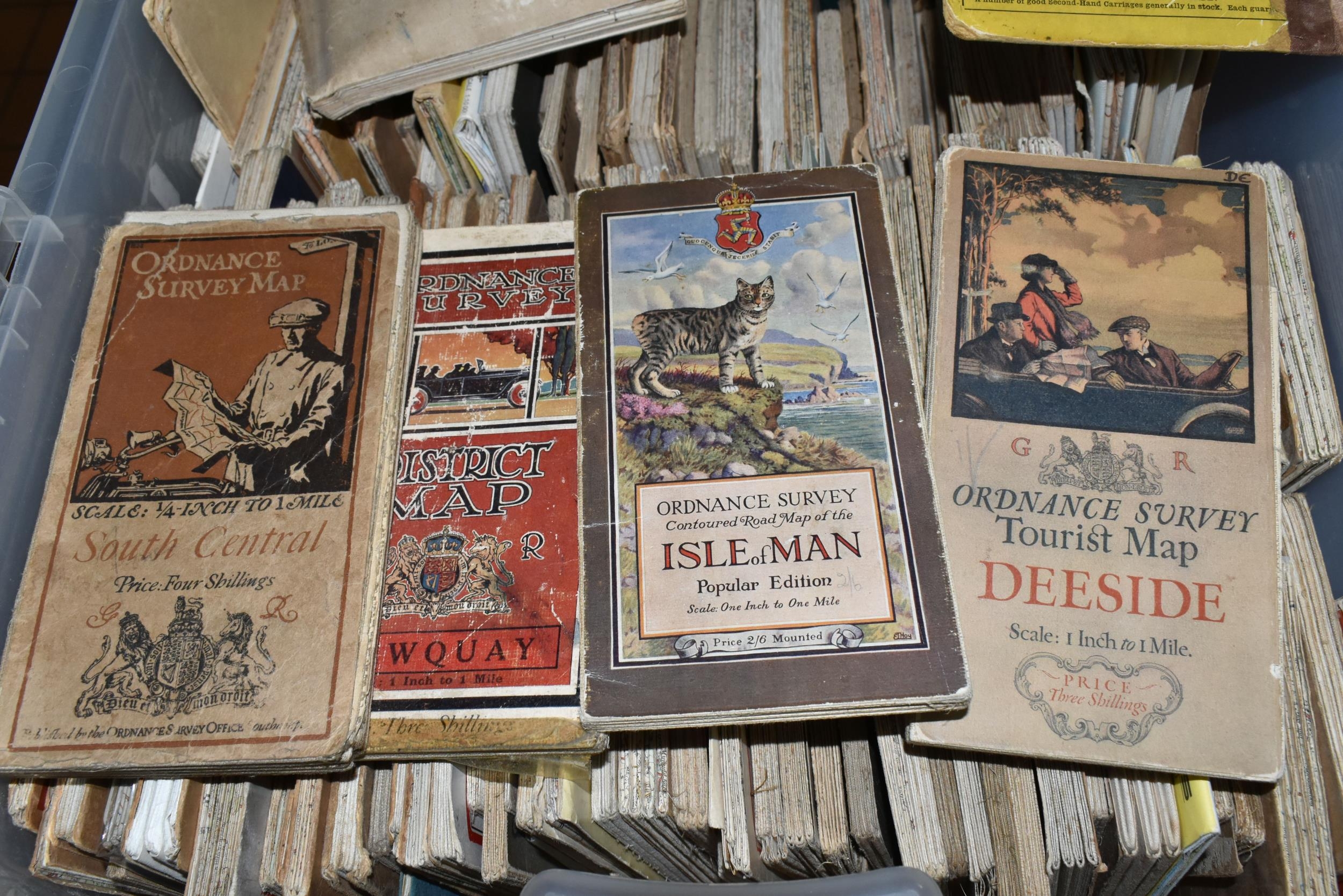
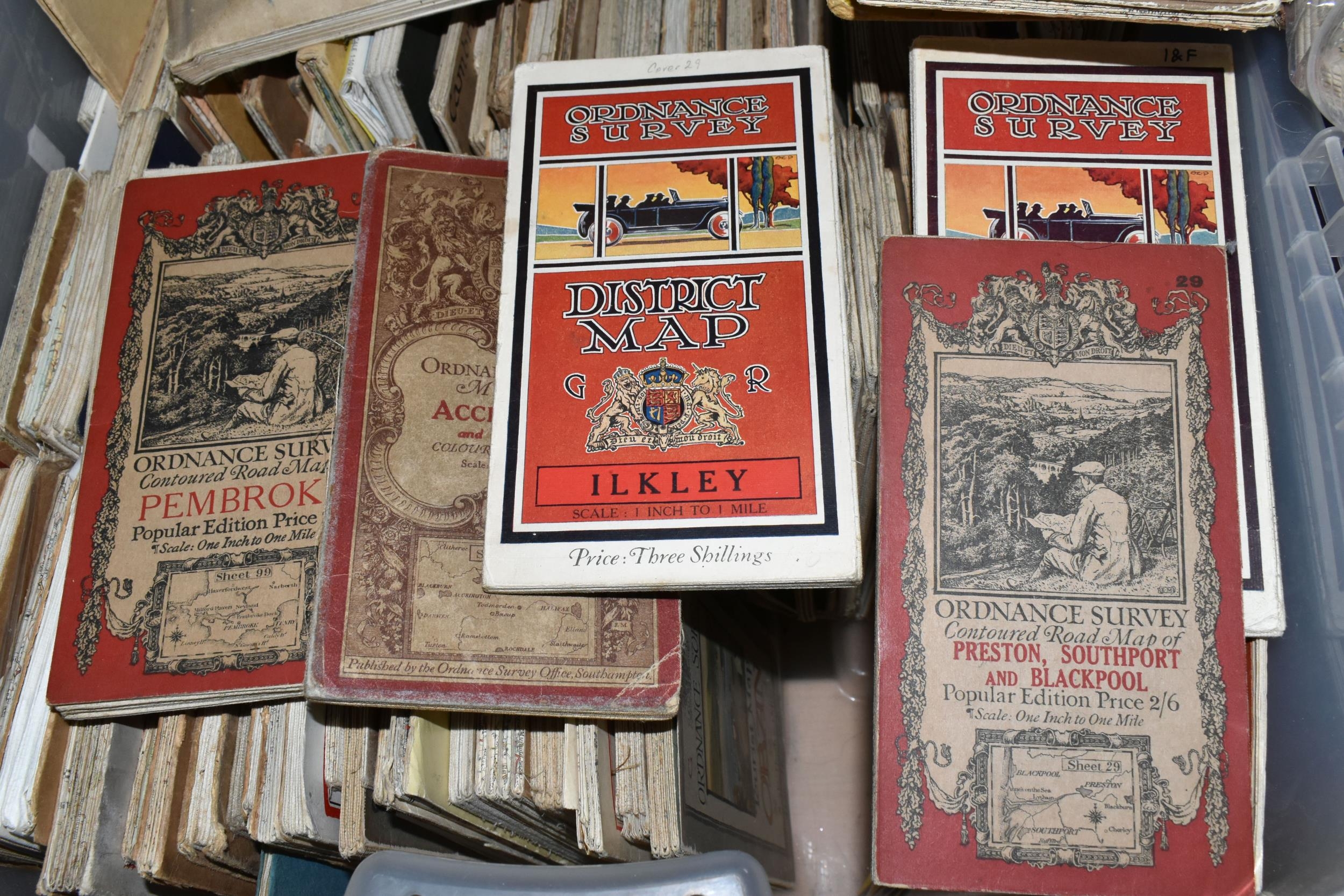
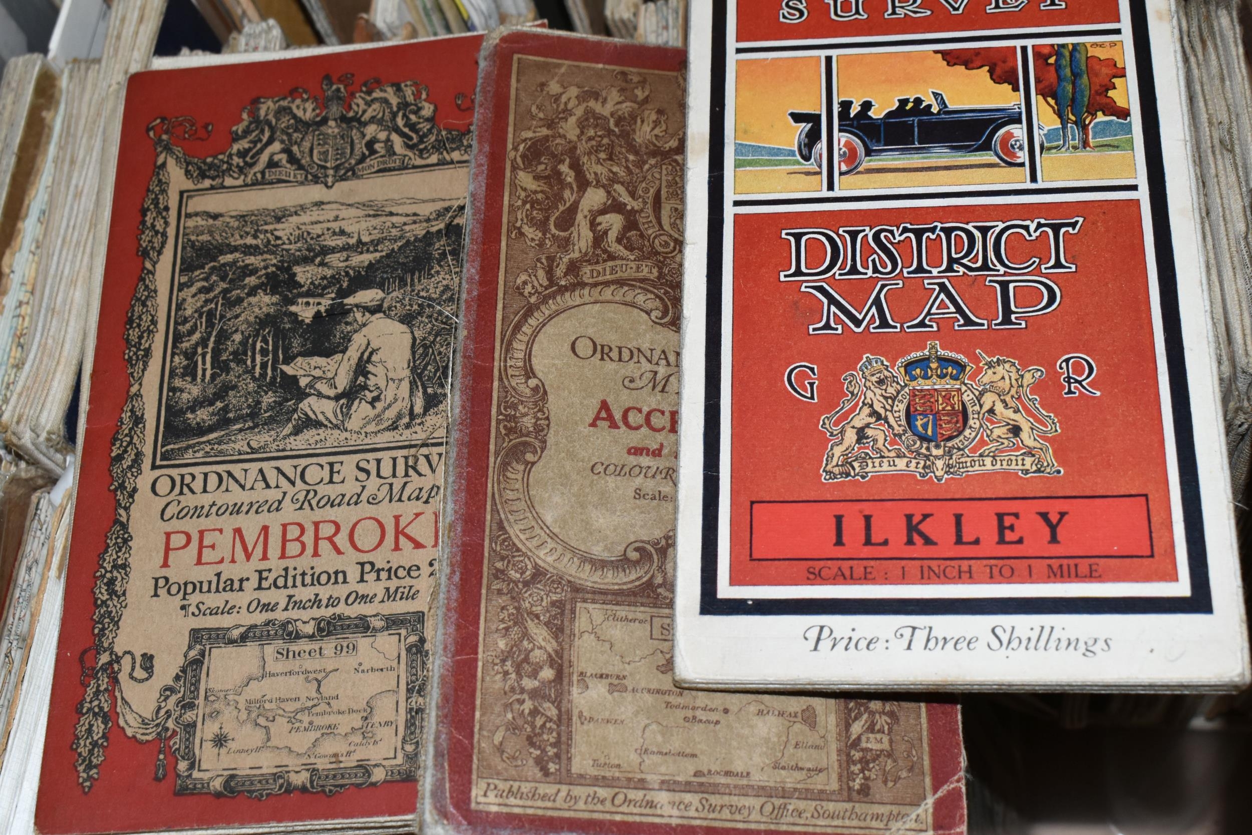
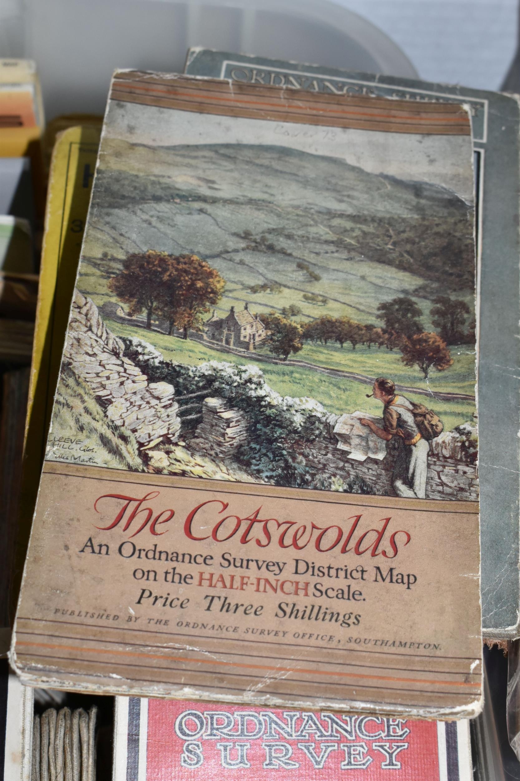
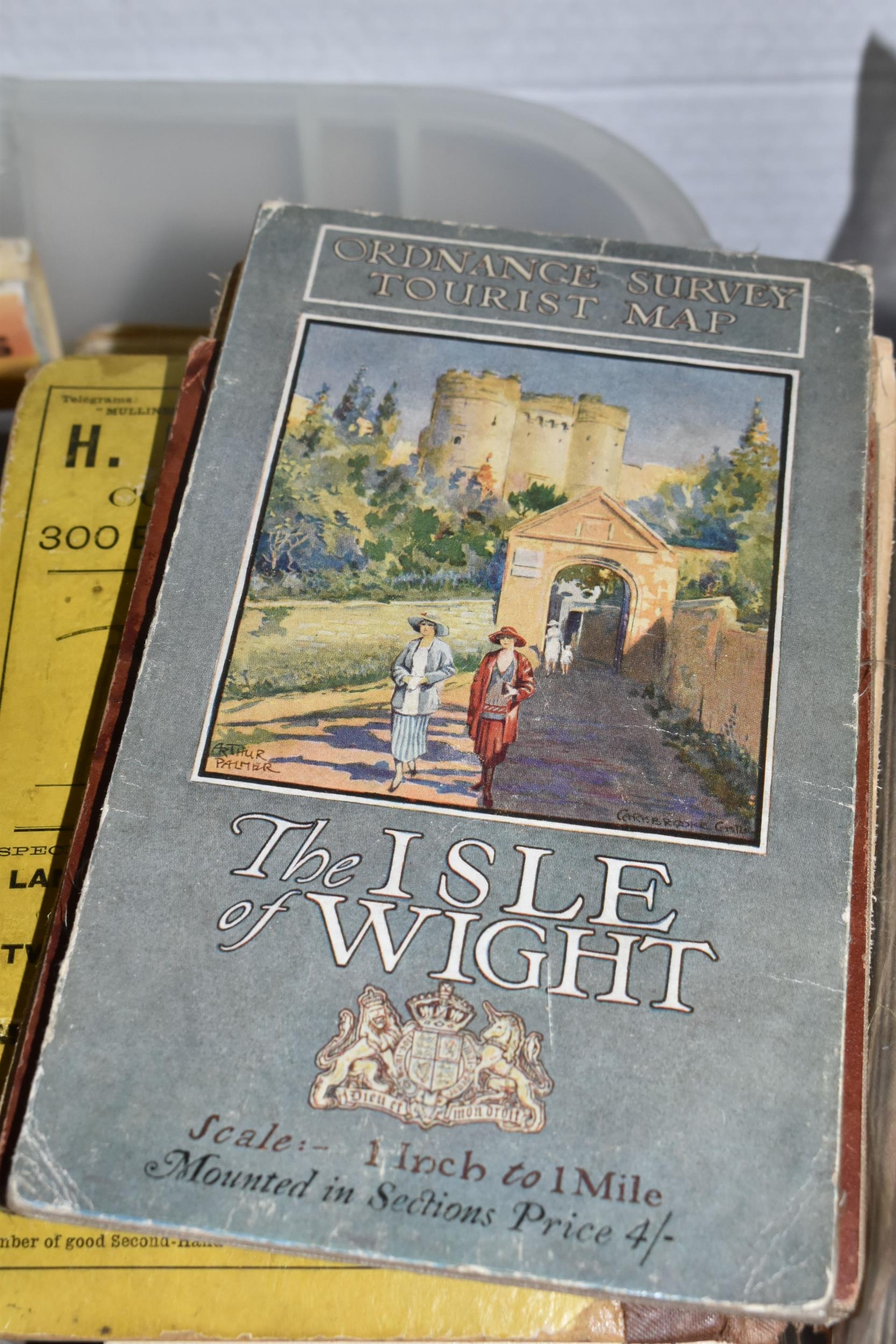
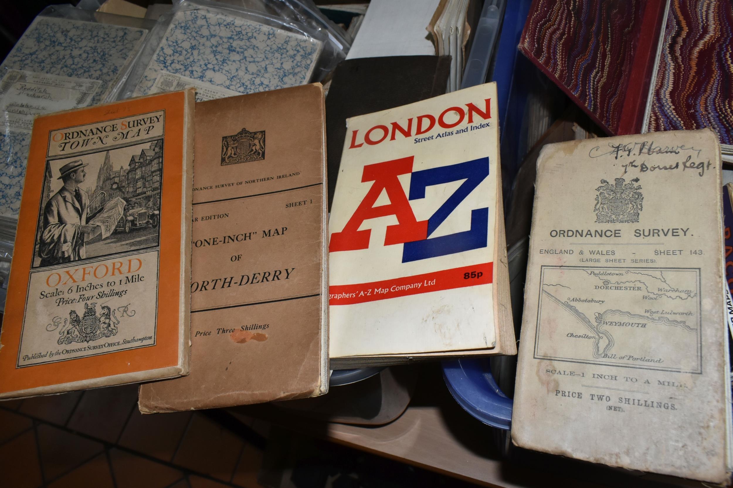
TWO BOXES OF VINTAGE AND ANTIQUE MAPS, to include Ordnance Survey One-Inch, Contoured Road, Geological Survey, Town, District and Tourist maps, Bartholomew's maps, a 1918 map of German trenches in The Somme, France, an 1841 Walker's Map of North Wales, a John Bartholomew LMS map of England & Wales, A Hunt Map of England & Wales 1880, an AH Swiss Hunting Map No 7, a 1930 Map of XVII Century England, The War Office Notes on Map Reading 1939, AA, RAC and other motoring maps, Lightning Road Maps, Military Map Reading for the New Army 4th imp 1940, George Philip & Son The Navy League Sea and Air Map of the World, etc (2 boxes) (sd)
Fees apply to the hammer price:
Free Registration
30% inc VAT*
Flat Fee Registration
26.40% inc VAT*