£30 - £50
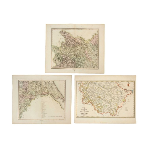
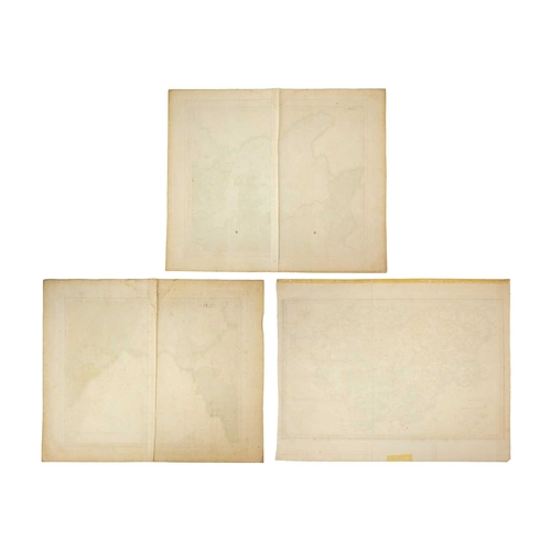
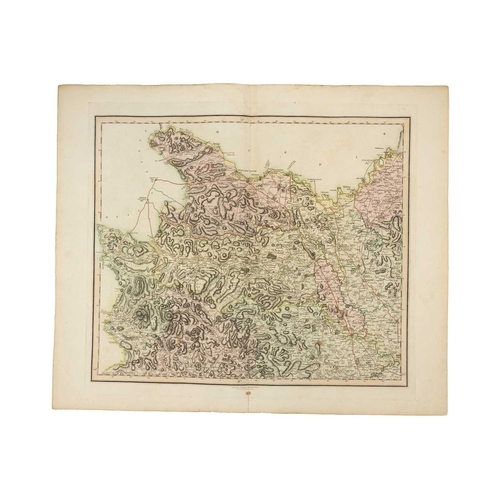
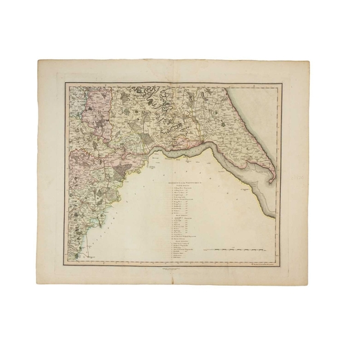
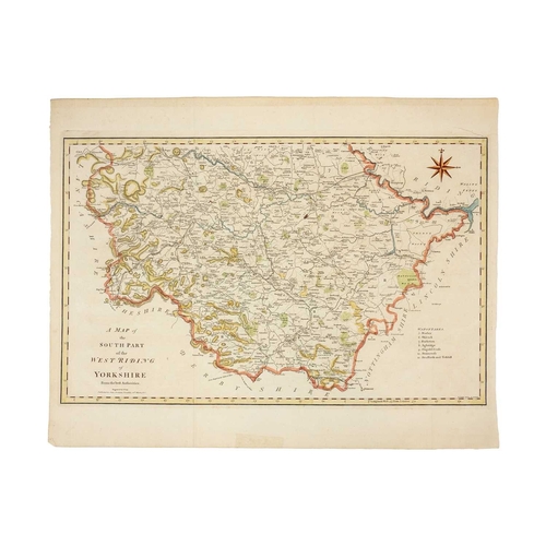
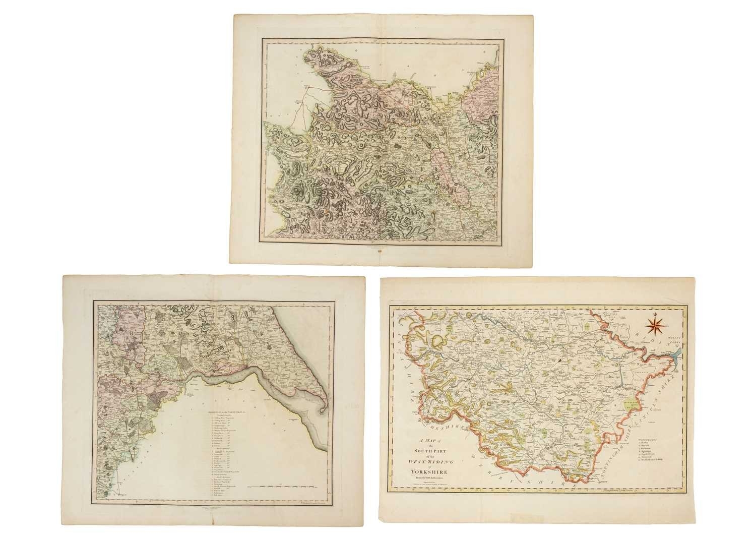
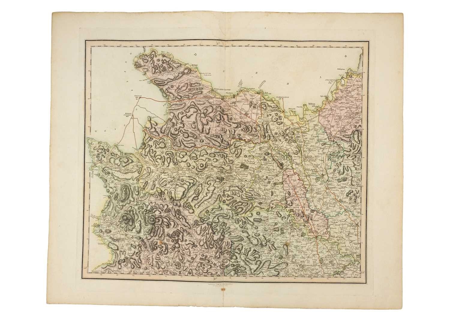
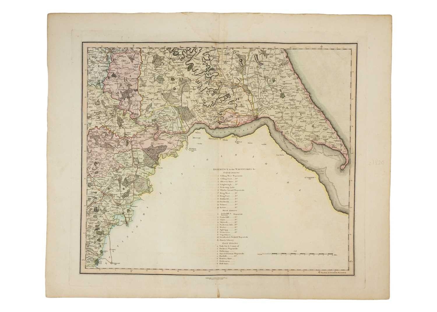
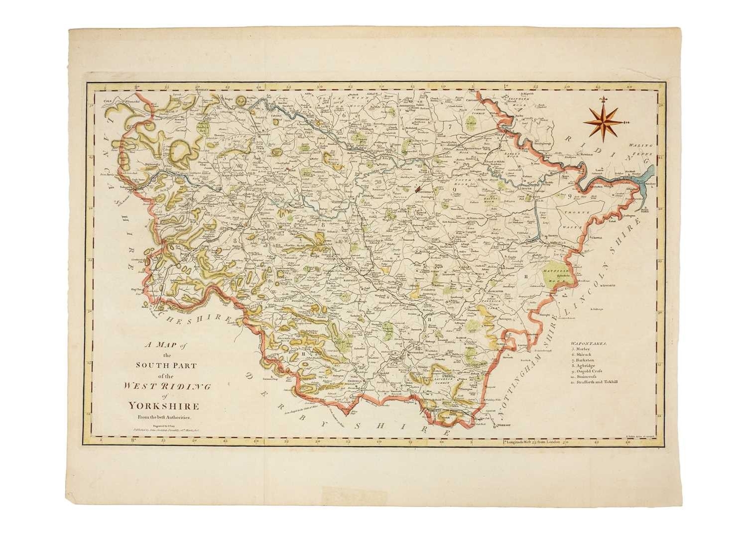
A New Map Of Yorkshire Divided into Ridings & C 3rd Edition, corrected to 1818 Copper engraving with coloured borders. A detailed county map of parts of the East and West Ridings, showing market towns, the major canals, roads, railways, parks, churches, original from Smith's English Atlas Being a Complete Set of County Maps Divided into Hundreds. Plate size 49cm x 56cm; together with a detailed county map of the North Riding, 49cm x 56cm, from the same Atlas, and 'A Map of the South Part of the West Riding of Yorkshire', engraved by J. Cary, published by John Stockdale, 1805 (3)
Fees apply to the hammer price:
Free Registration
28.8% inc VAT*
Flat Fee Registration
25.20% inc VAT*