


£50
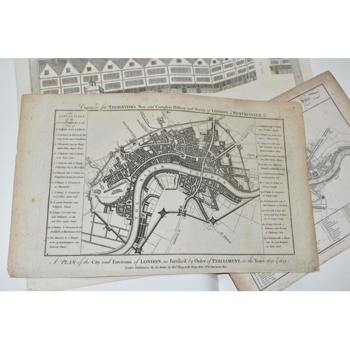
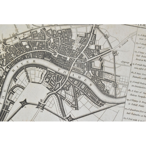
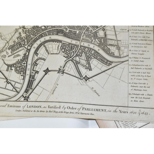
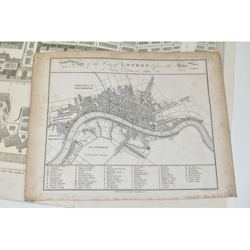
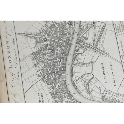
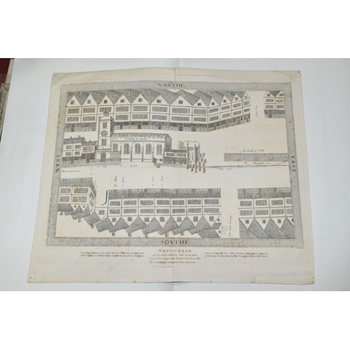
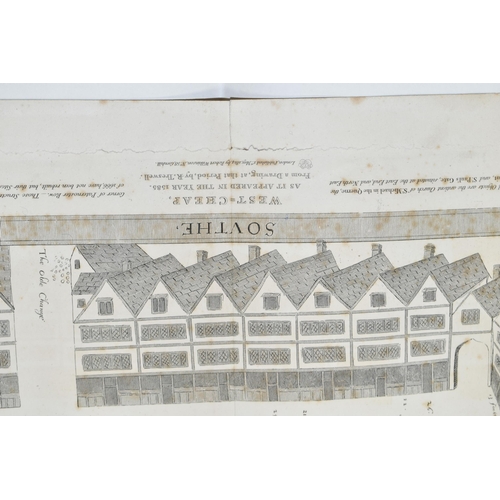
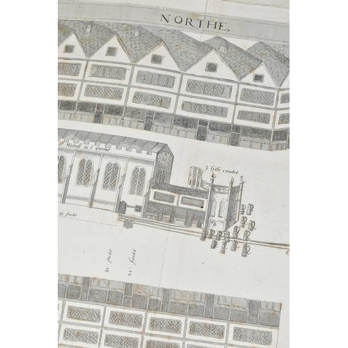
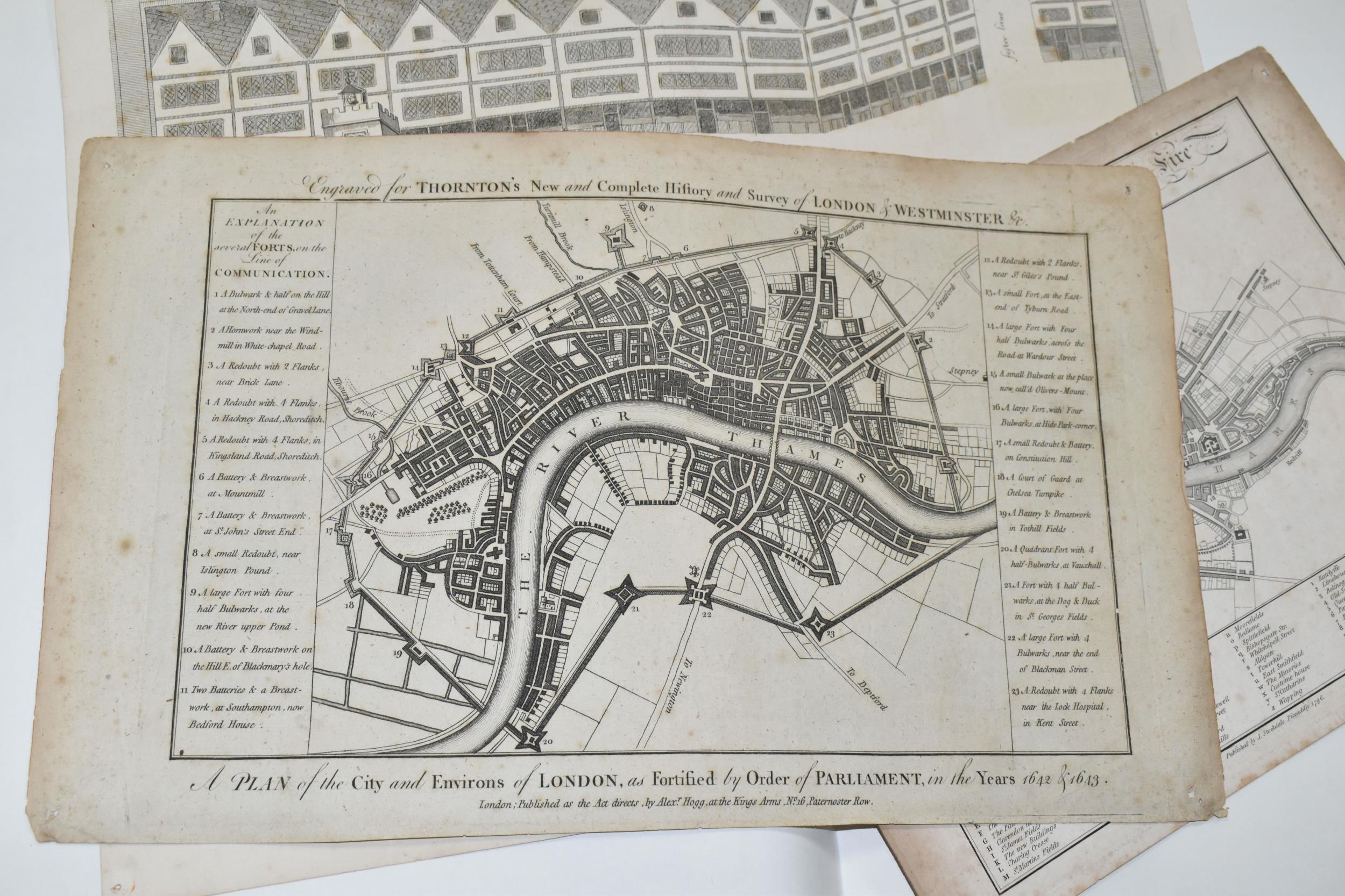
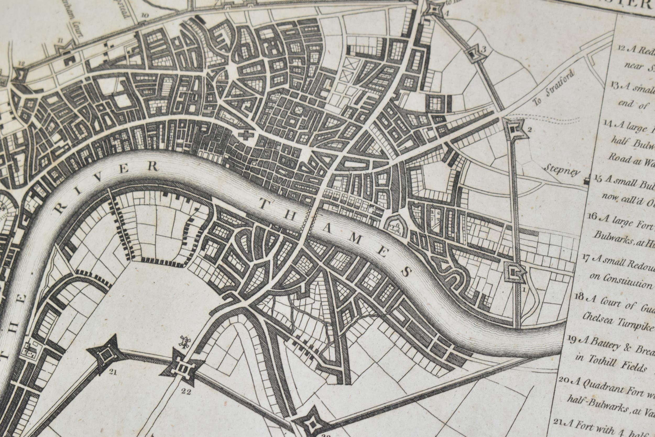
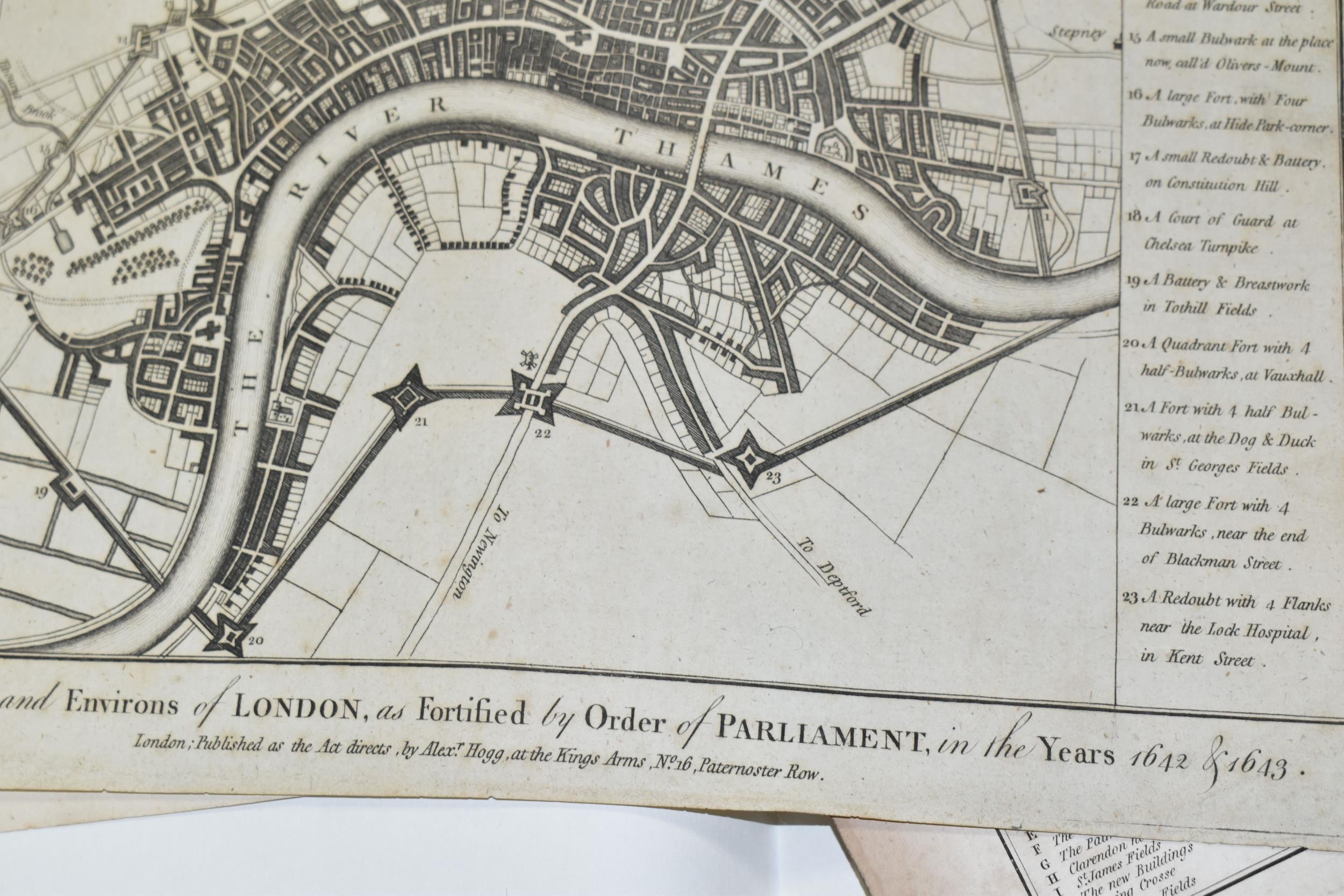
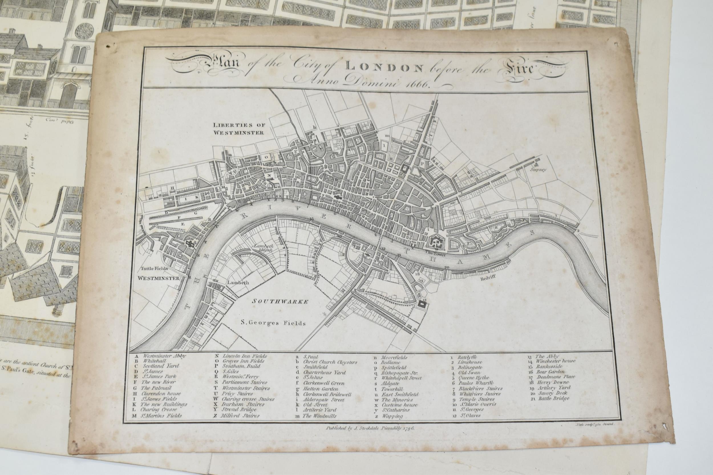
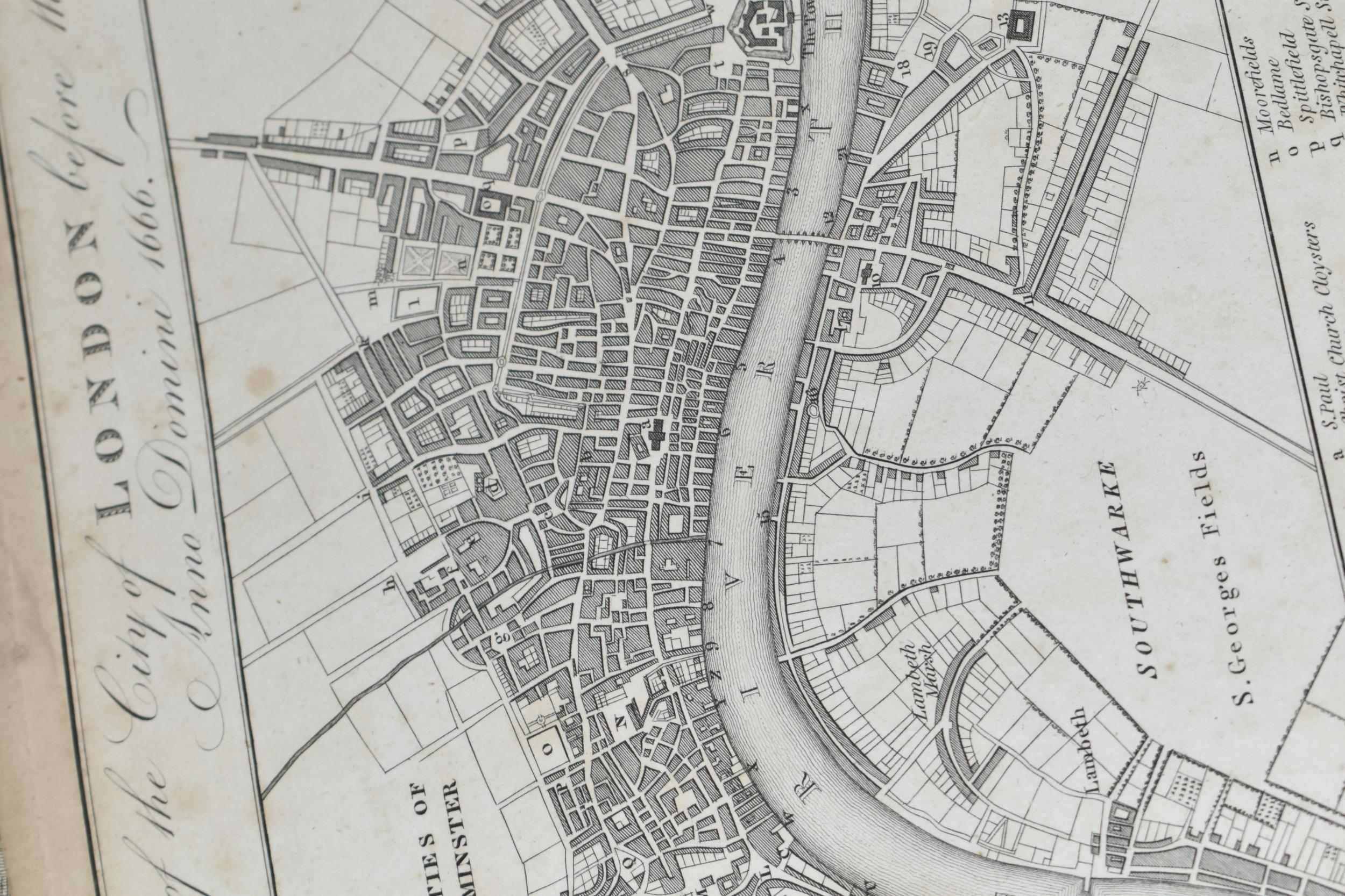
ANTIQUE MAPS OF LONDON, comprising 'A plan of the City and Environs of London, as fortified by order of Parliament, in the years 1642 & 1643', engraved for Thorntons New and Complete History and Survey of London and Westminster, approximate size 23cm x 38cm, 'A plan of the City of London before the Fire Anno Domini 1666', published by J Stockdale 1796, together with a street plane depicting 'West Cheap' as it appeared in 1585, published by Robert Wilkinson 1814 Condition Report: 1642 map has dirty marks, some foxing with pin holes to the corners, 1666 plan has dirty marks, foxing and pin holes, West Cheap map has foxing, creases and tears with pin holes to the corners (Provenance: The Arnold Fellows Collection)
Fees apply to the hammer price:
Free Registration
30% inc VAT*
Flat Fee Registration
26.40% inc VAT*