£440
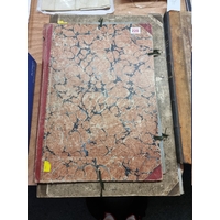
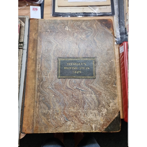
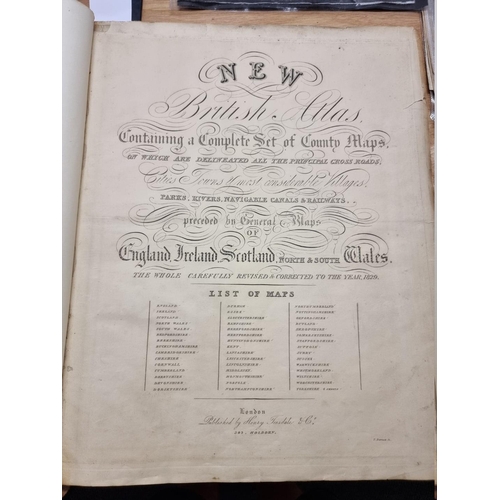
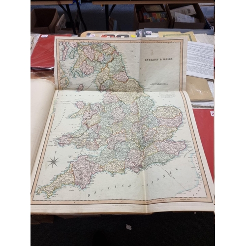
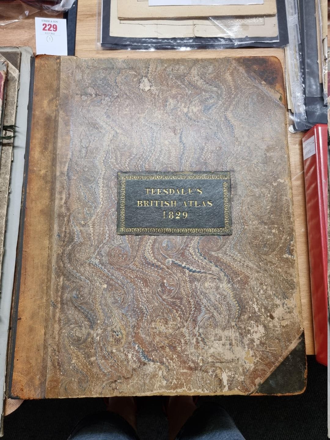
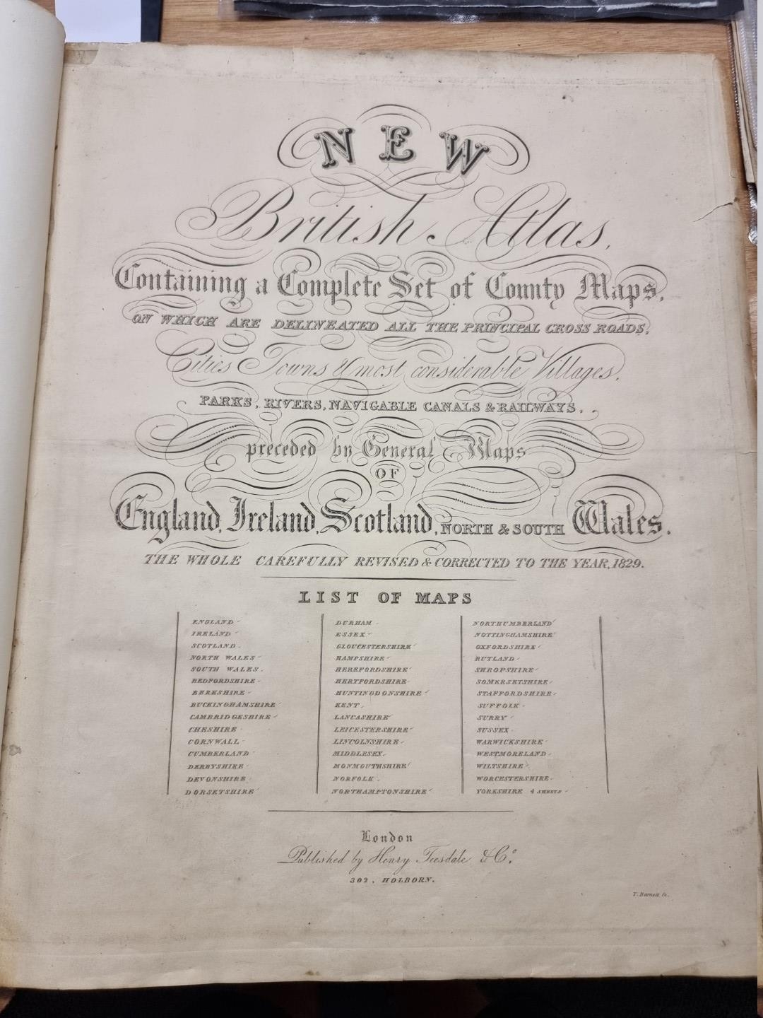
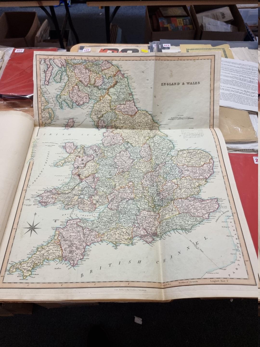
ATLAS: TEESDALE (Henry): 'New British Atlas, containing a complete set of county maps, on which are delineated all the principal crossroads, cities, towns & most considerable villages, parks, rivers, navigable canals & railways...' London, Henry Teesdale & Co, (c.1830): with engraved title, 3 folding general maps (a few neat repairs) and 44 county maps, all with contemporary hand colouring, one or two short edge tears and tape repairs, 5 various unrelated maps bound in at rear, contemporary marbled boards with morocco label to upper, rebacked, folio. (1)
Fees apply to the hammer price:
Free Registration
21.6% inc VAT*
Flat Fee Registration
18.00% inc VAT*