€800 - €1,000
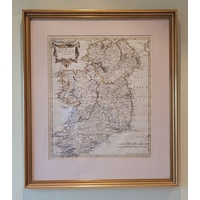
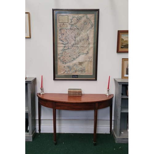
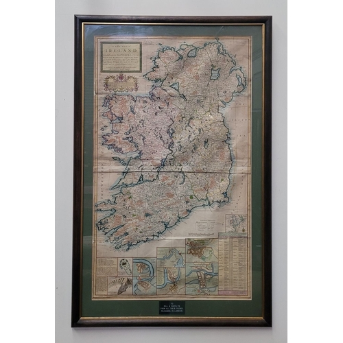
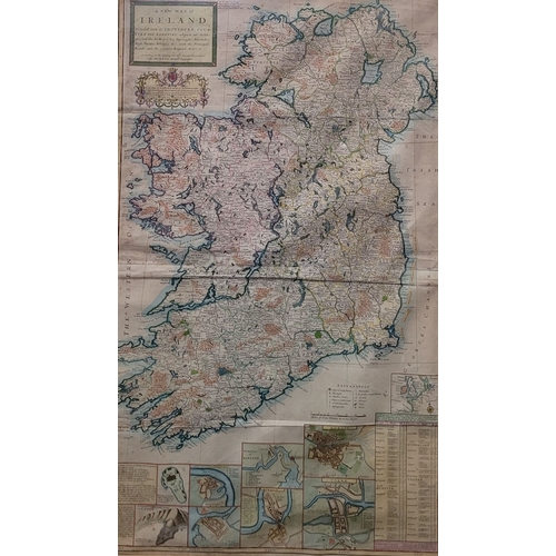
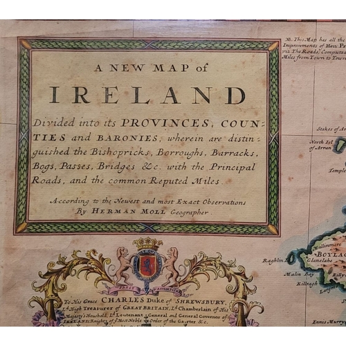
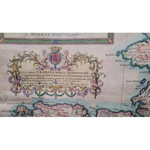
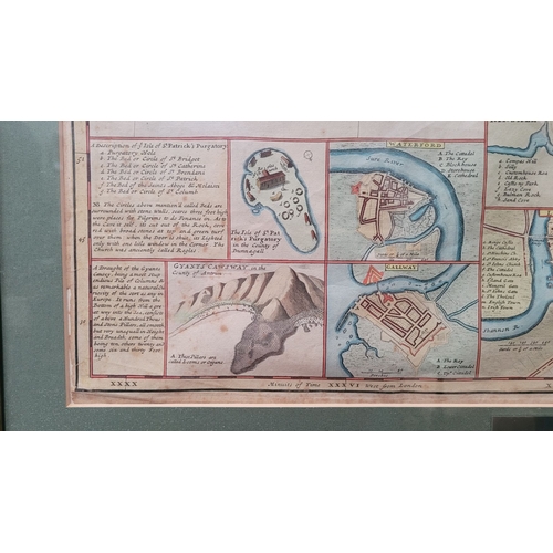
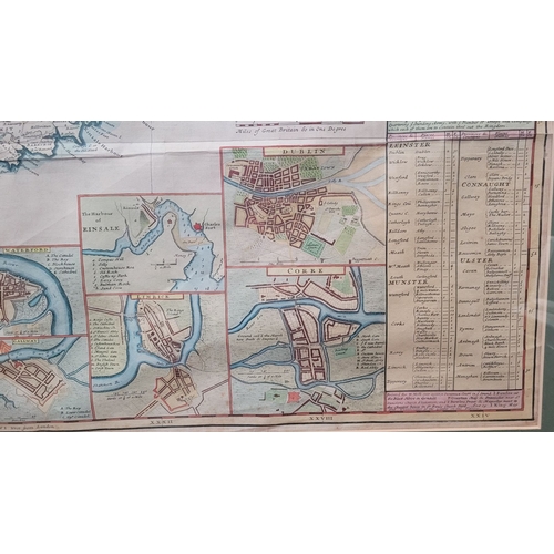
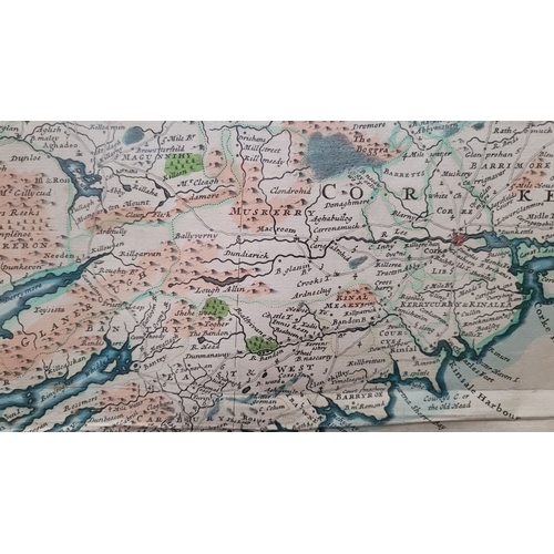
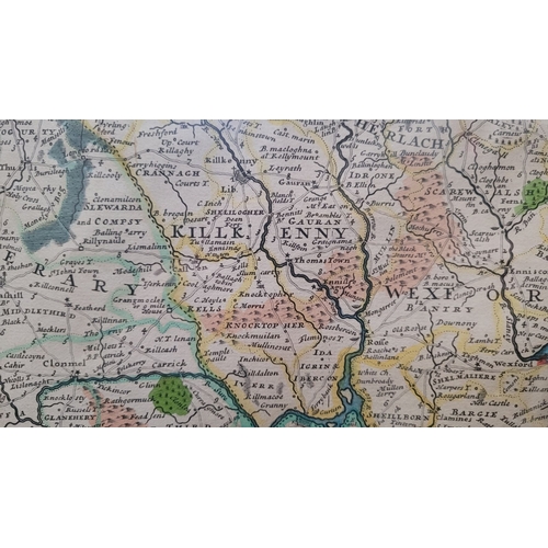
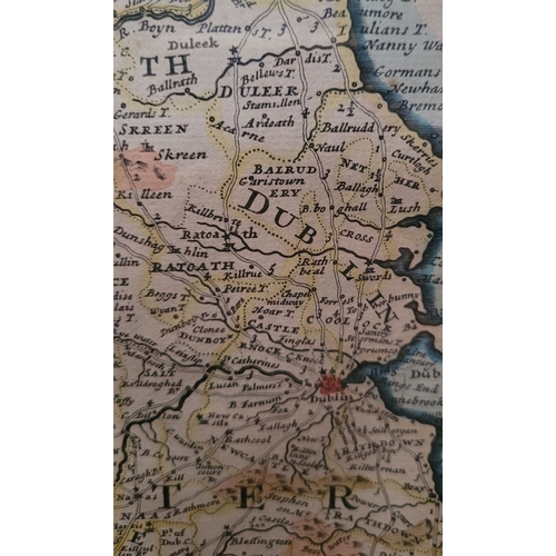
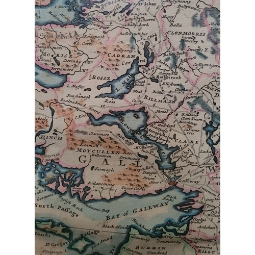
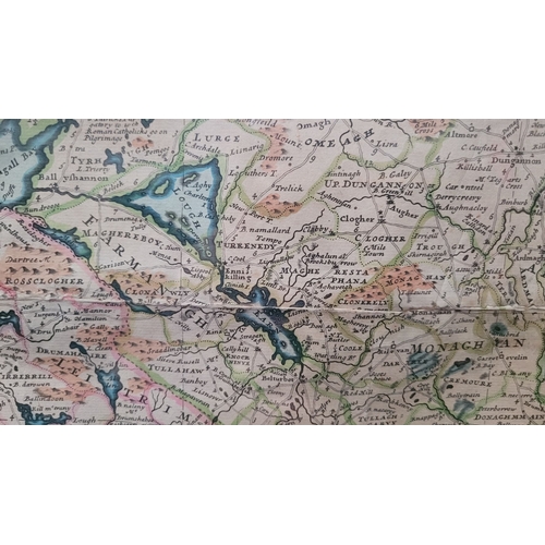
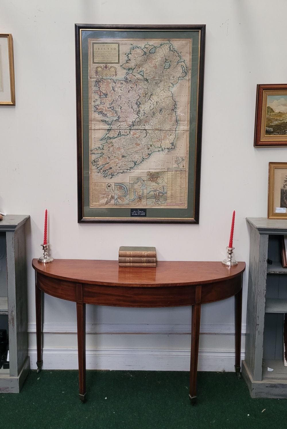
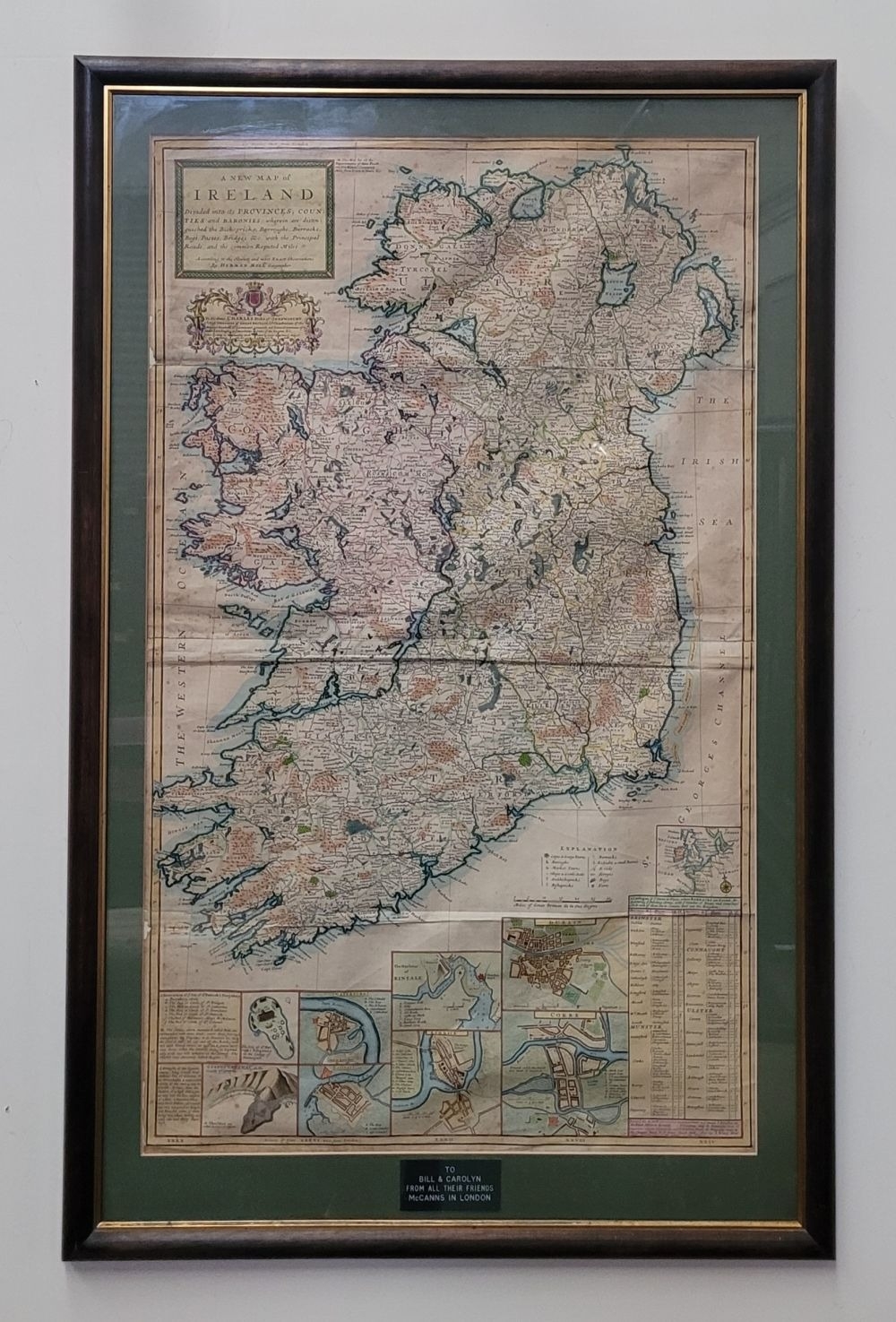
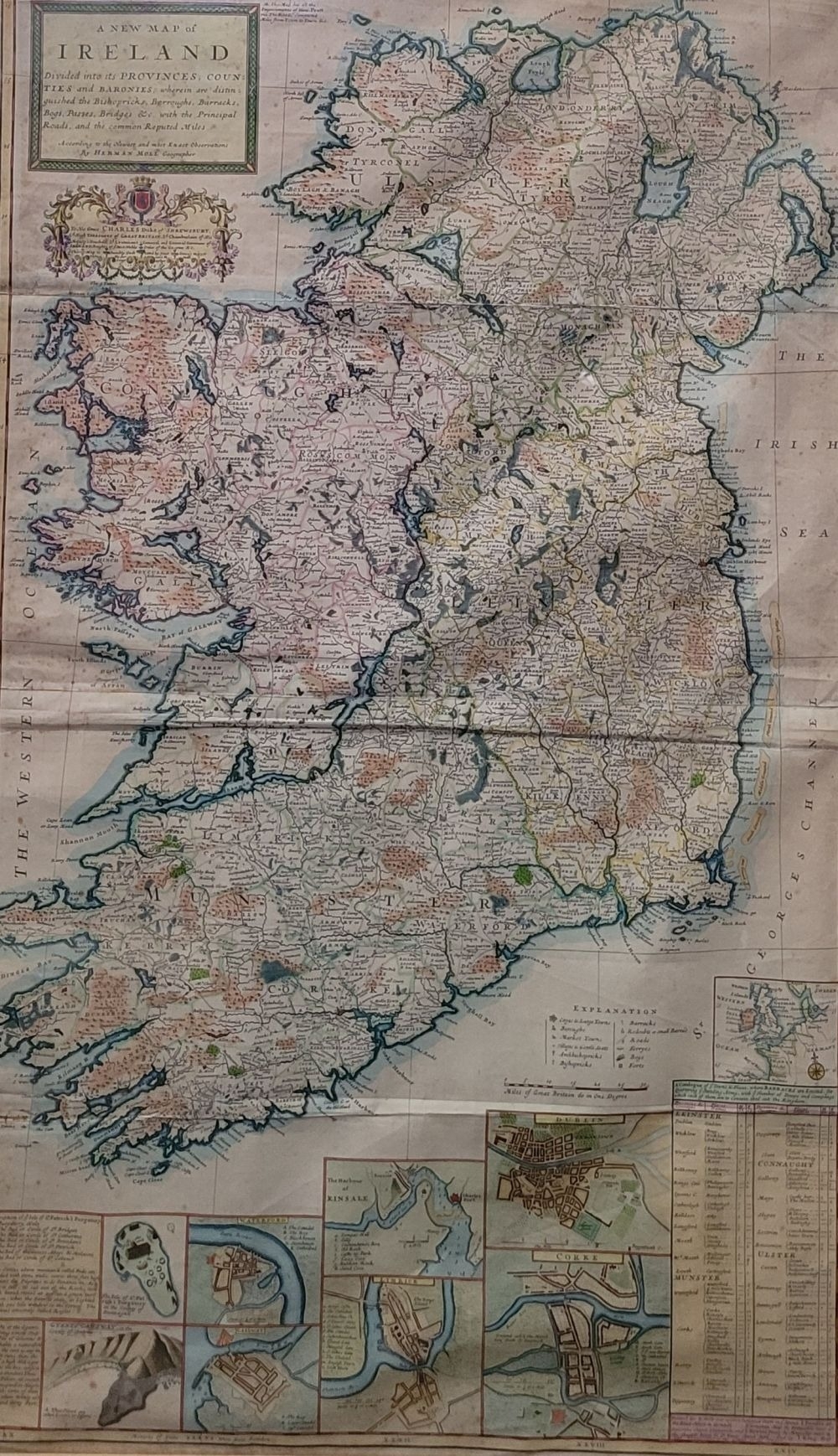
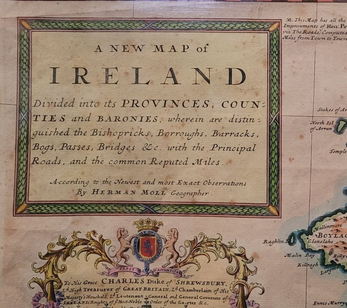
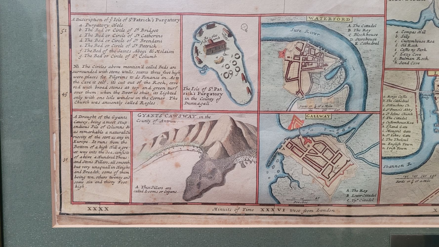
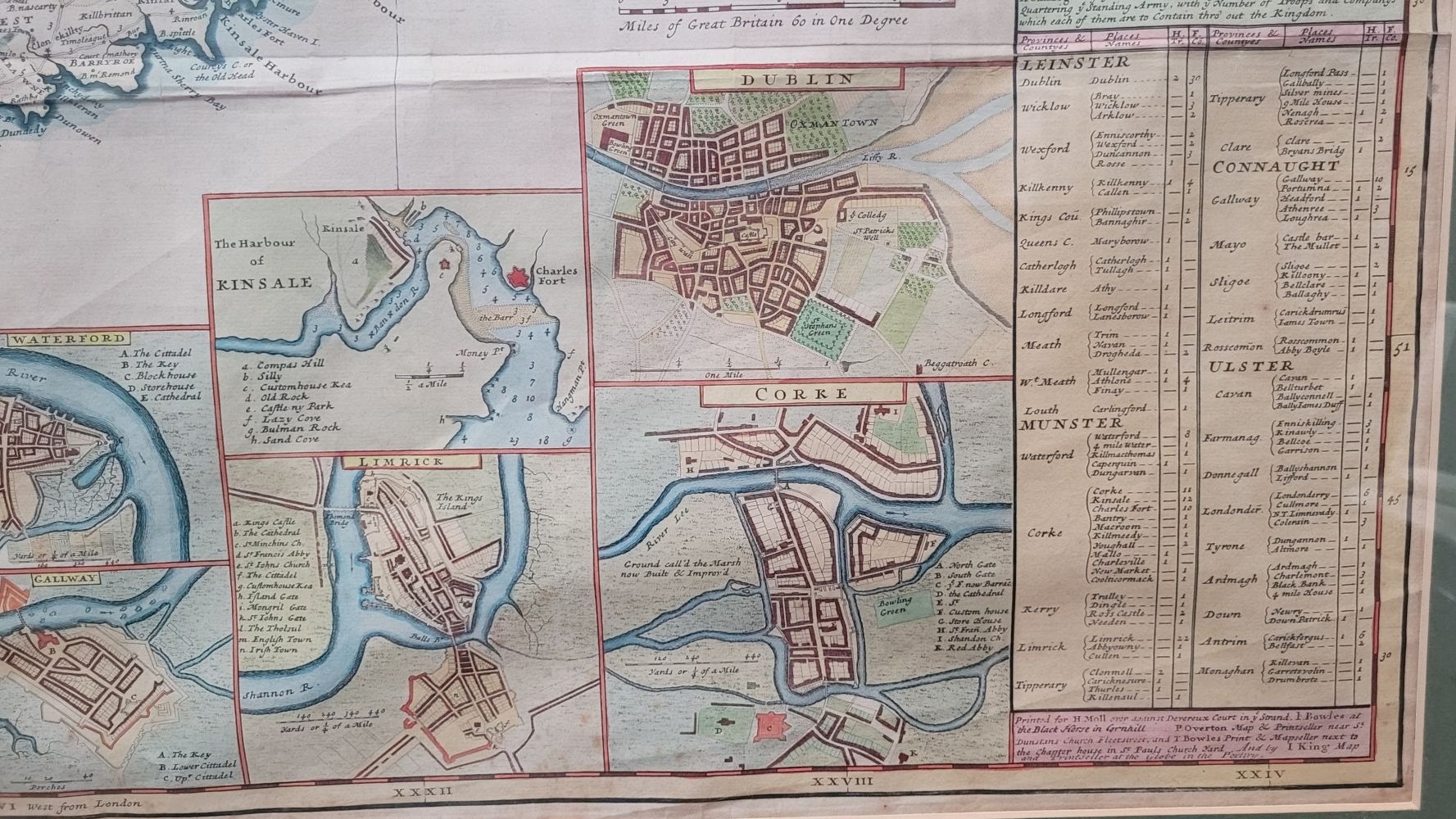
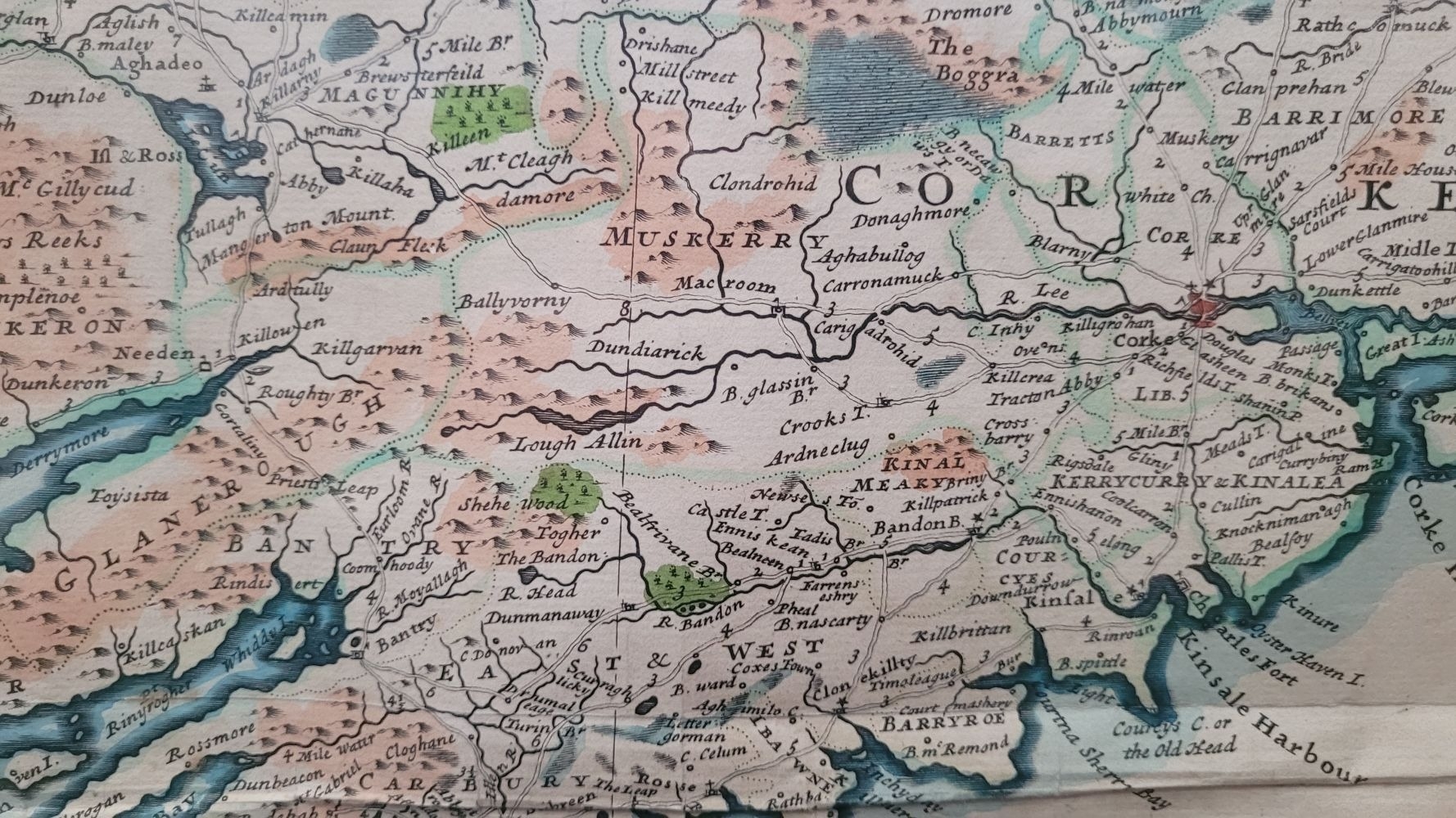
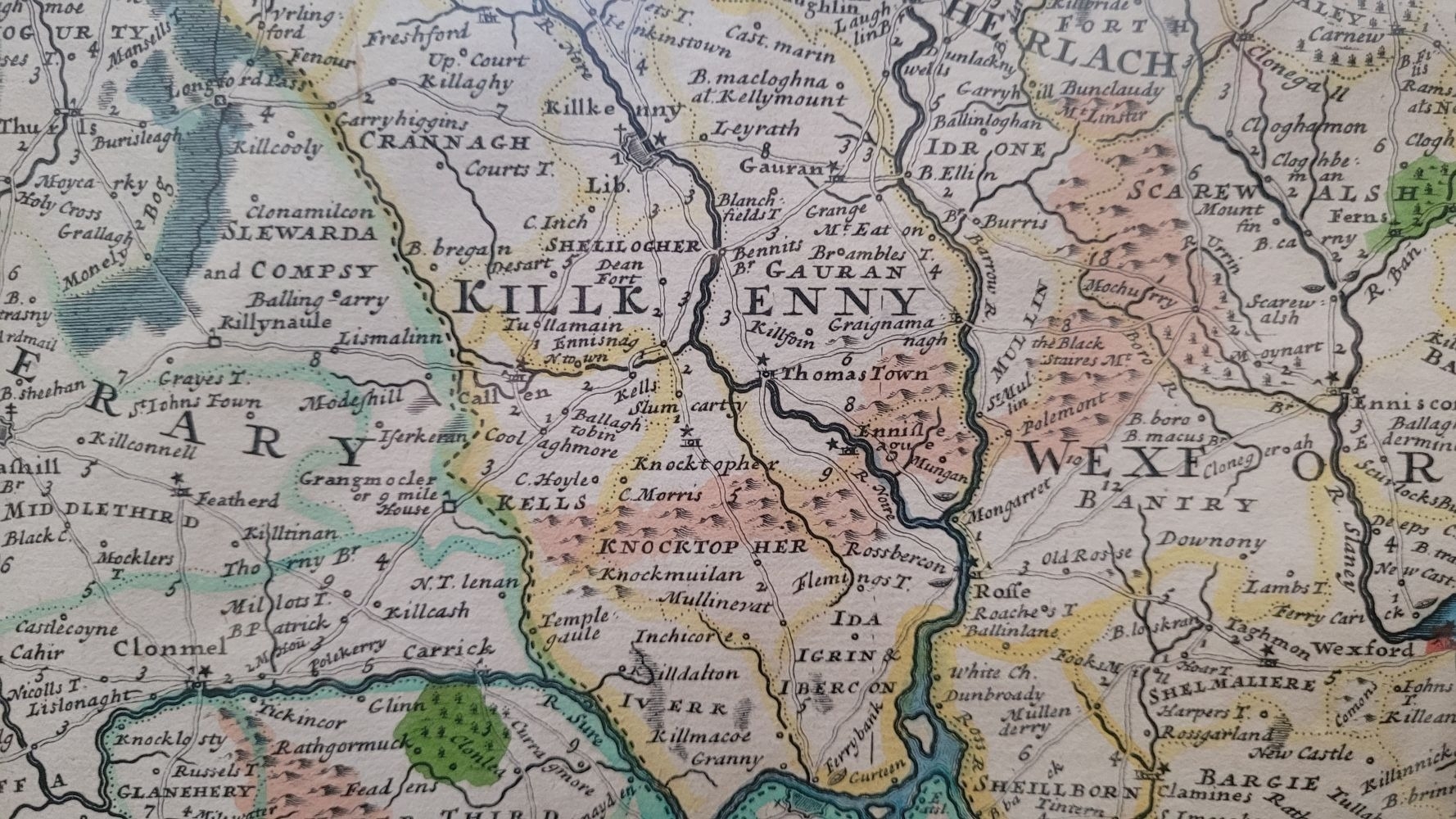
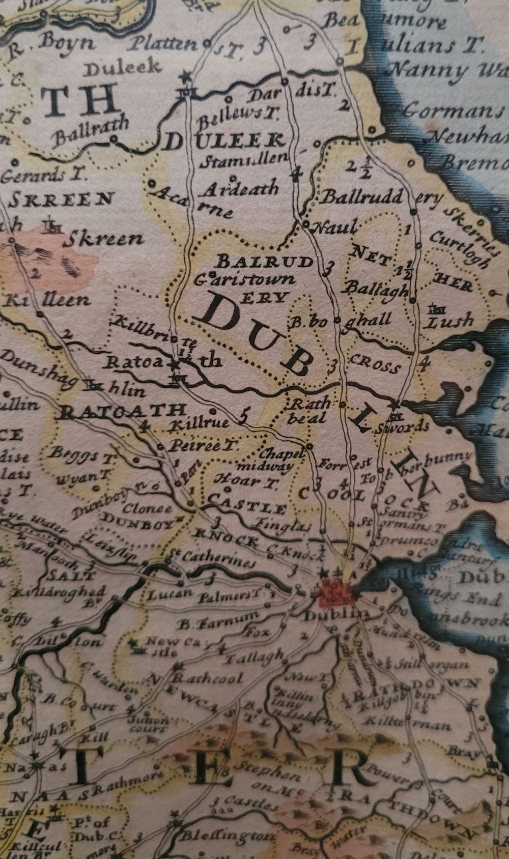
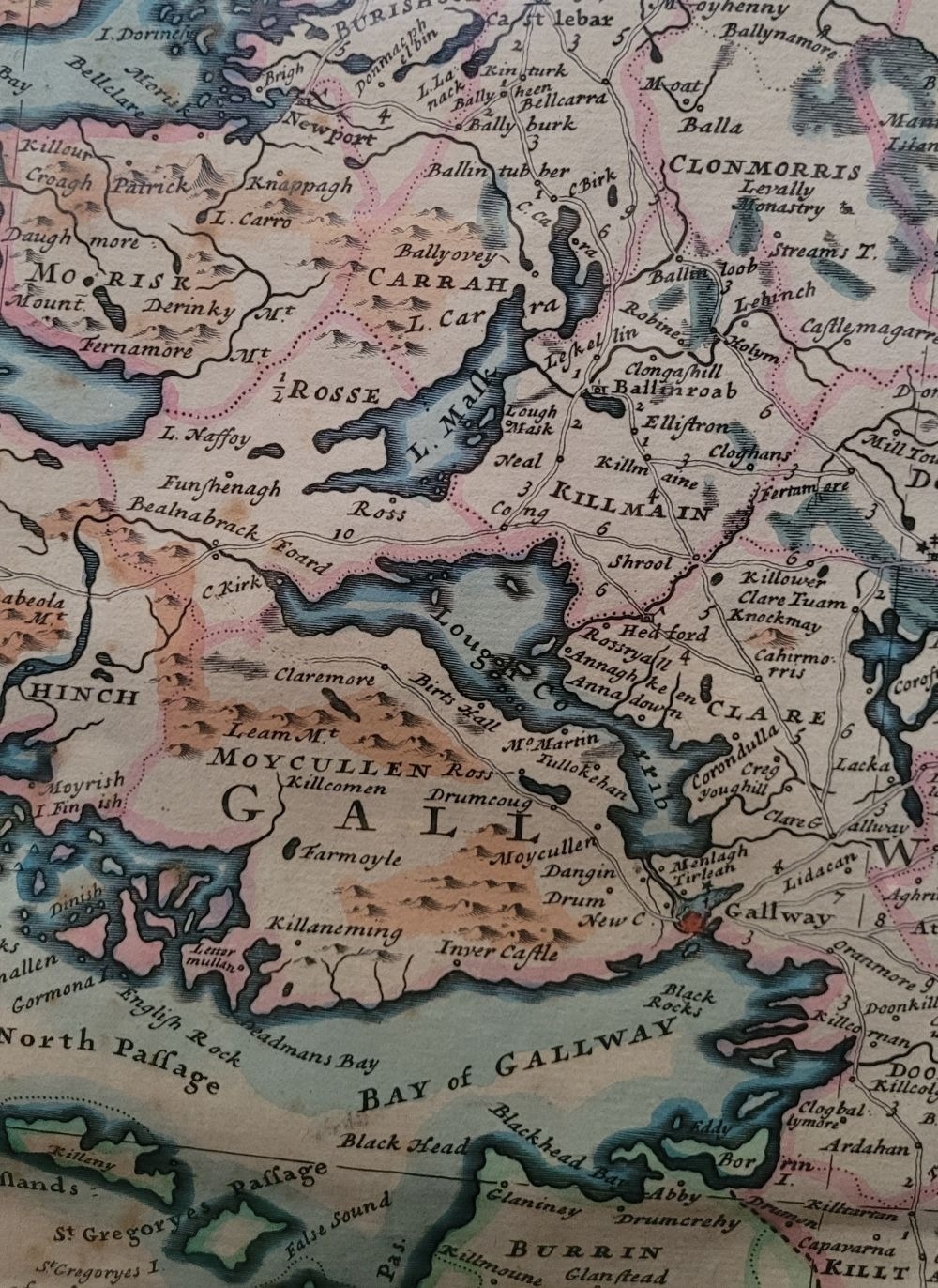
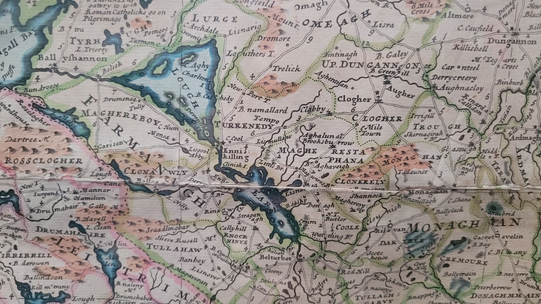
A FRAMED RARE MAP OF IRELAND: 18TH CENTURY: hand coloured example of Herman Moll’s 1714 map of the island of Ireland: A NEW MAP OF IRELAND, divided into its provinces, counties and baronies, wherein are distinguished the Bishopricks, Borroughs, Barracks, Bogs, Passes, Bridges & c. with the Principal Roads, and the common Reputed Miles. According to the Newest and most Exact Observations by Herman Moll Geographer. Includes insets of: The Isle of St. Patrick's Purgatory, Gyants Cawsway, Waterford, Gallway, Kinsale, Limrick, Dublin, Corke.
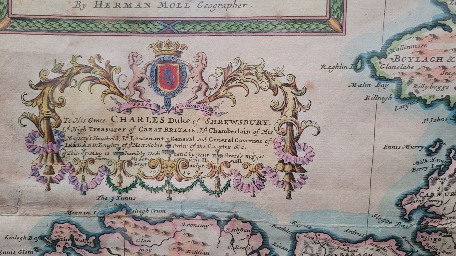
The map carries an imprint line to the lower right indicating its original publishers and sellers, among them Moll himself. Along with a note to the right of the title box stating that the map includes the Henry Pratt's improvements, notably the detailed road network and computed inter-town distances, further enhances the map's utility and accuracy.
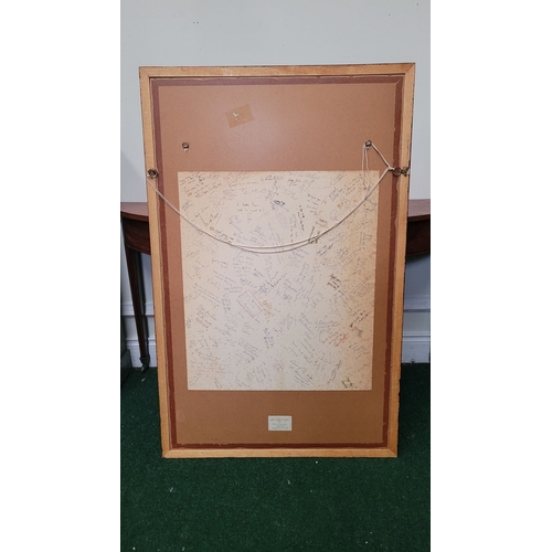
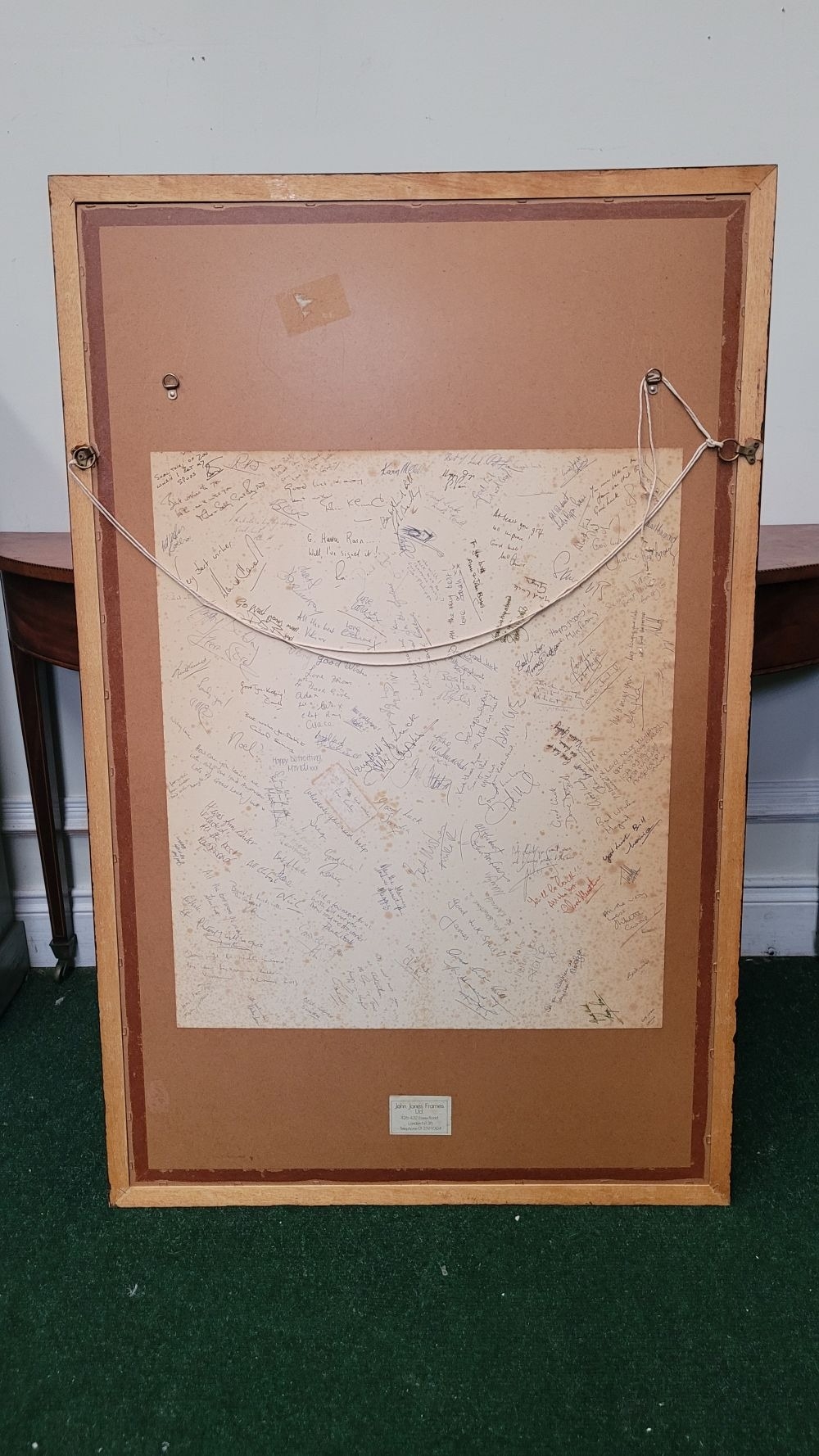
Published/Printed for Moll by I. Bowles at the Black Horse Cornhill, P. Overton Map & Print seller near St. Dunstan’s Church Fleetstreet and T. Bowles Print & Map seller next to the chapter house in St. Pauls Church Yard, and by I Kings’ Map and Print seller at the Globe in the Portery. Overall good condition, minimal fading, creased from folding, a little loss to the edges that are visible in the frame. Frame: 122 x 77.5cm, map: 101 x 61cm. Presentation plaque present on the mount and the back has inscribed signatures relating to the presentation.
Fees apply to the hammer price:
Free Registration
34.44% inc VAT*
Flat Fee Registration
30.75% inc VAT*