£35
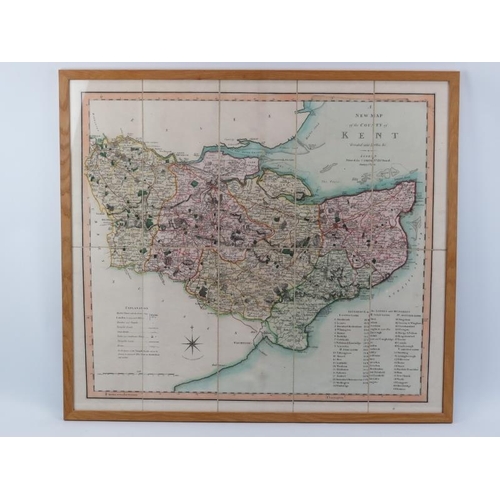
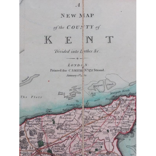
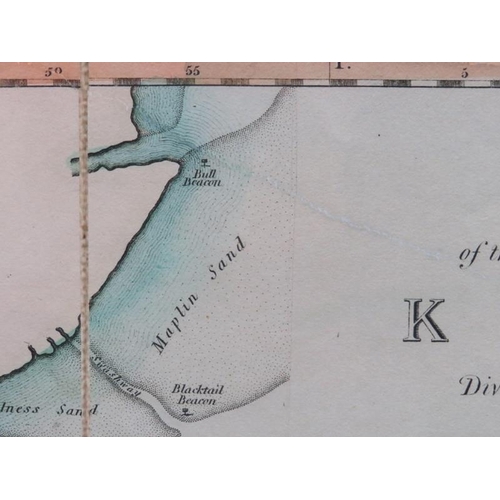
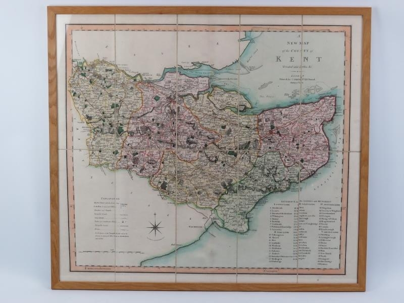
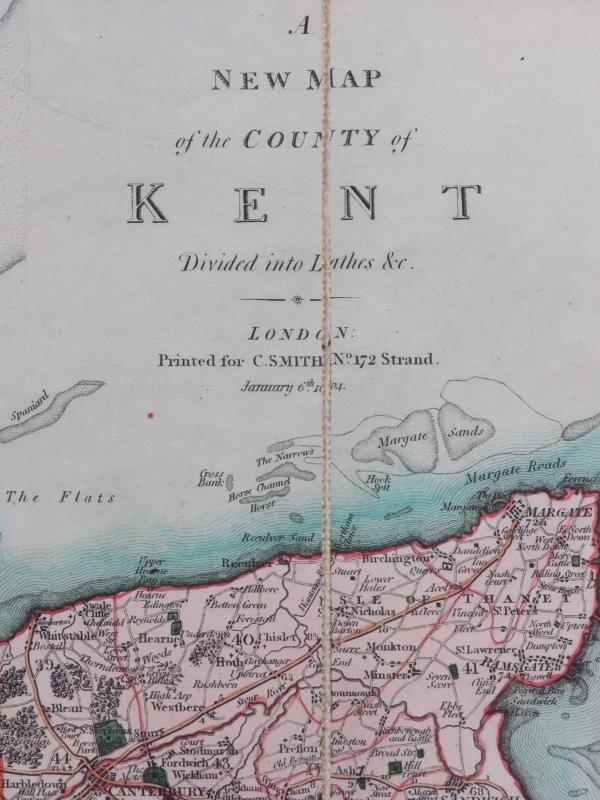
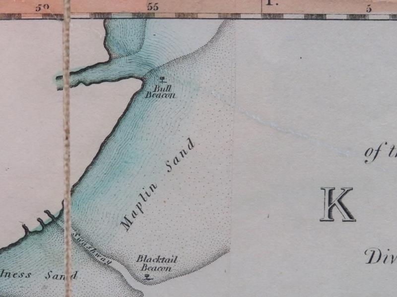
‘A New Map of the County of Kent divided into lathes’, dated 1804. Folding map is dissected, laid on to linen and framed. Drawn by J. Tomkins and engraved by H. Vincent. Published by Printed for C. S. Smith No 172 Strand January 6th, 1804. 67.5 cm x 76 cm. Condition report: Light age related wear. Faint creasing and restoration present.
Fees apply to the hammer price:
Free Registration
27.6% inc VAT*
Flat Fee Registration
24.00% inc VAT*