

No Estimate
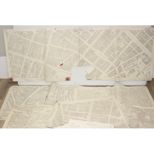
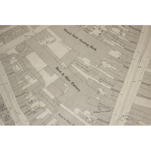
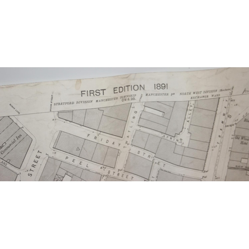
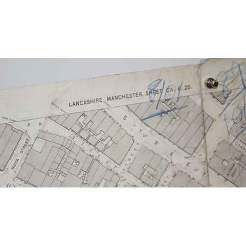
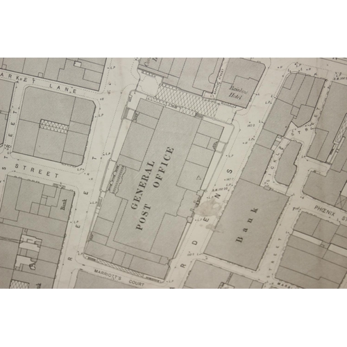
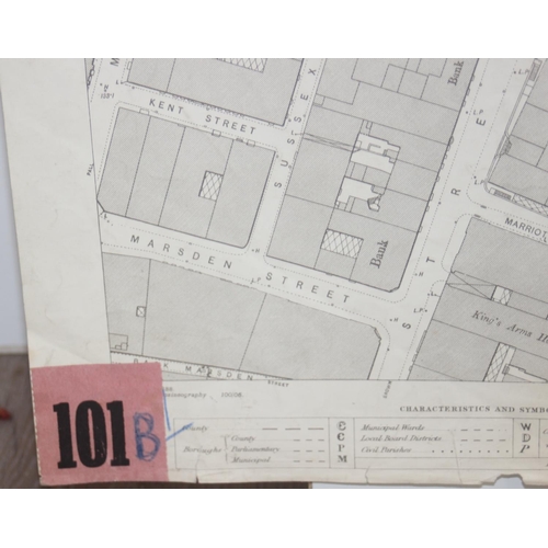
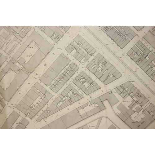
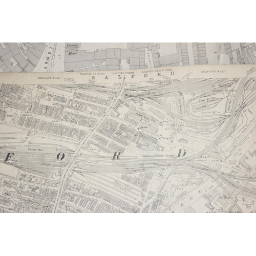
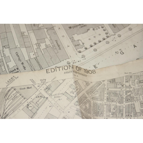
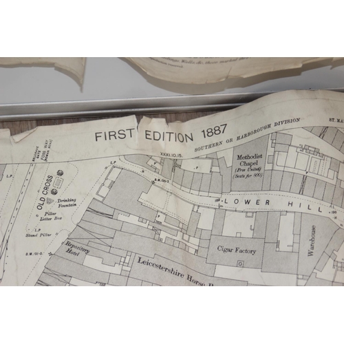
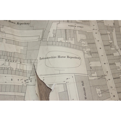
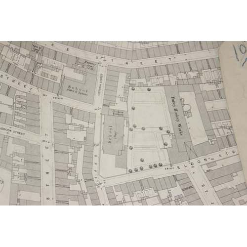
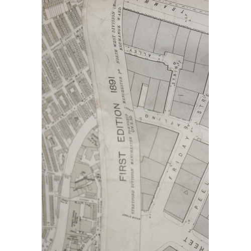
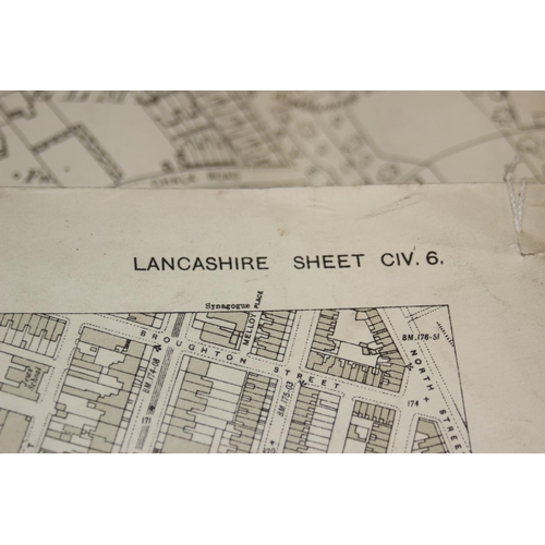
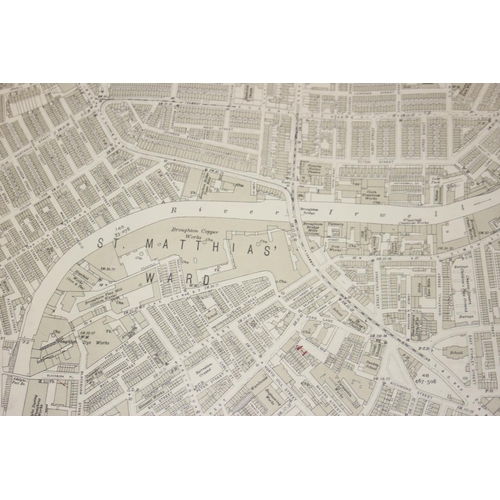
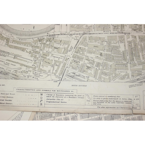
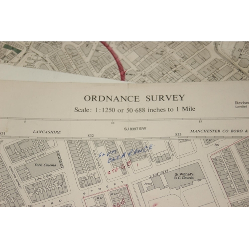
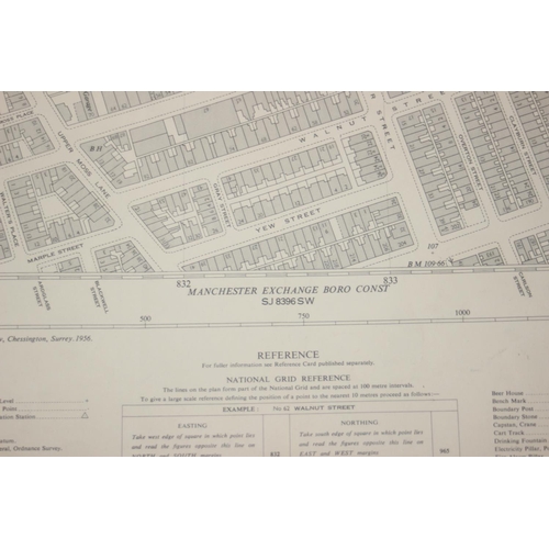
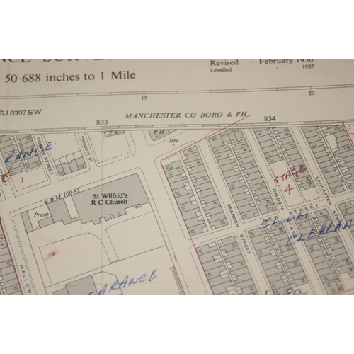
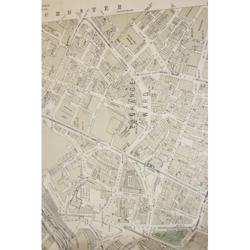
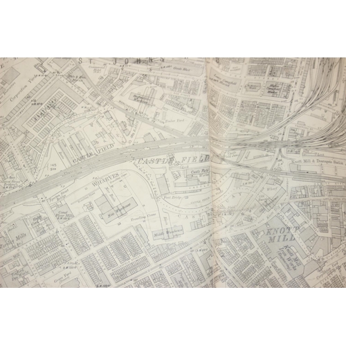
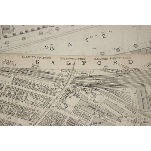
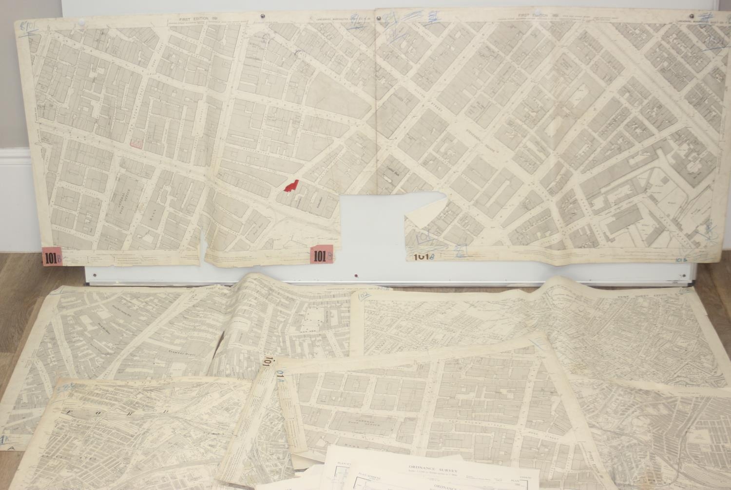
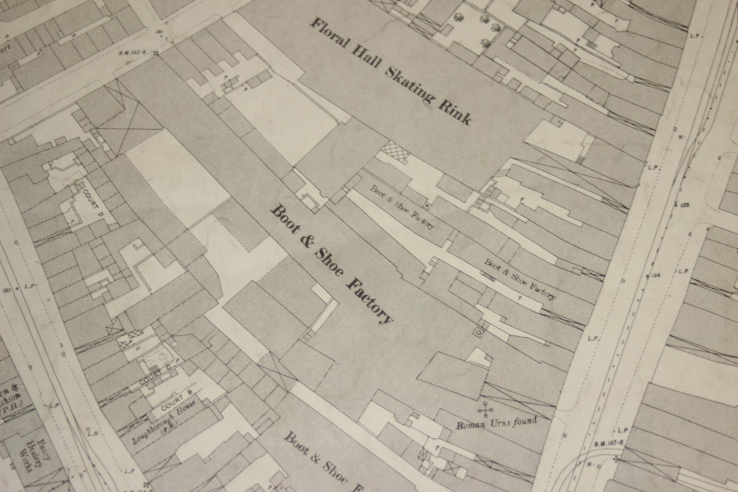
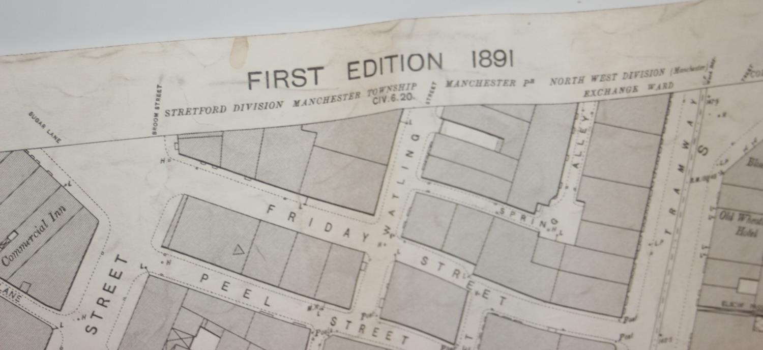
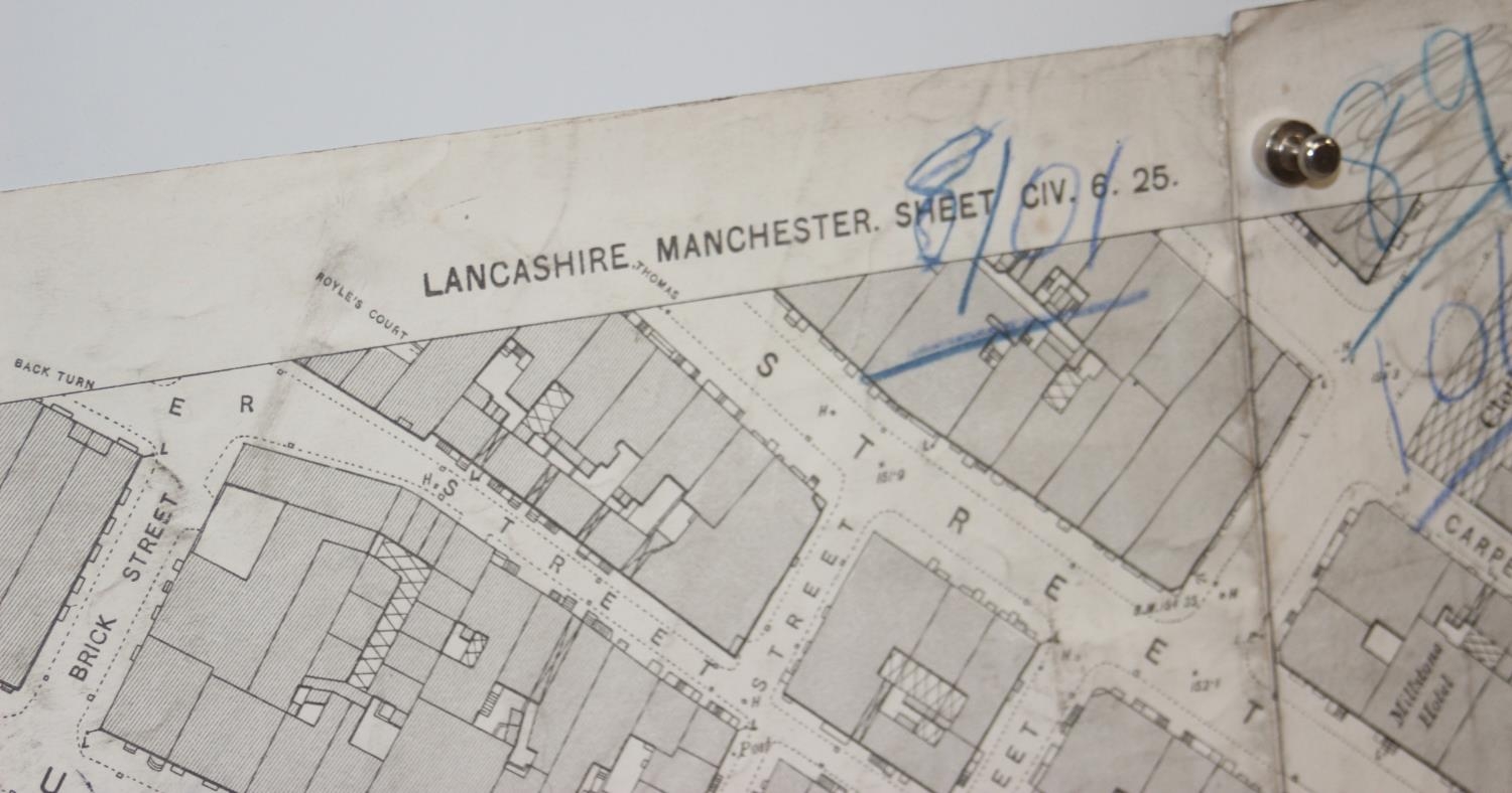
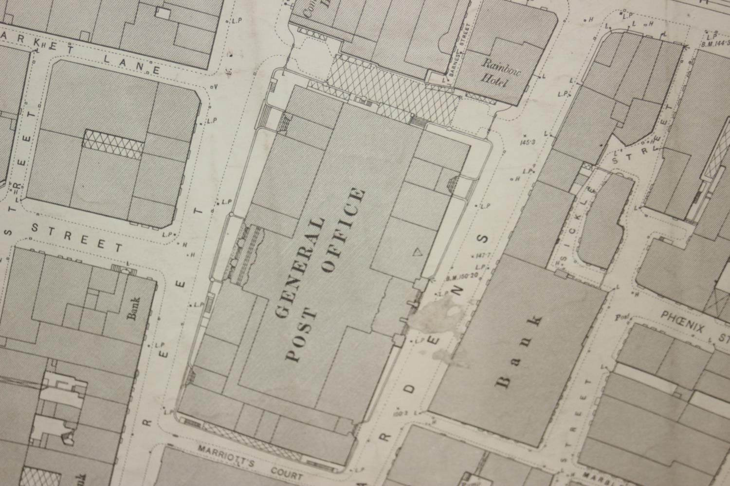
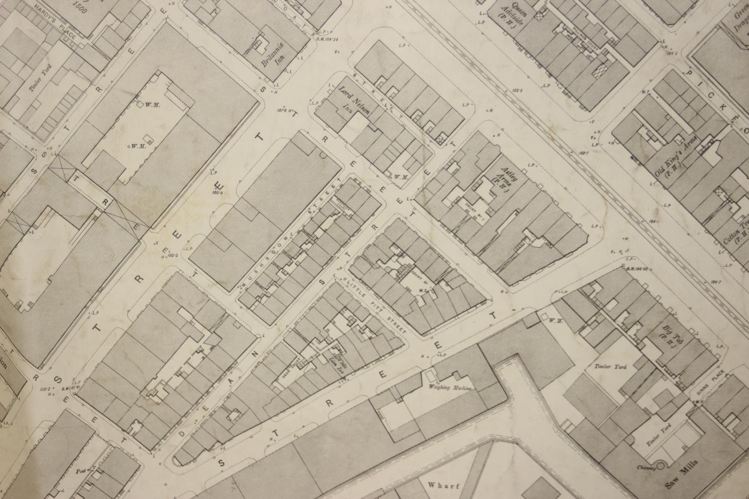
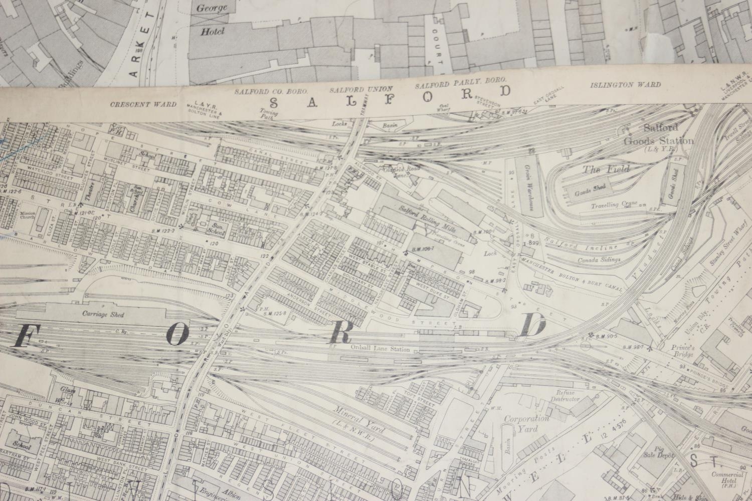
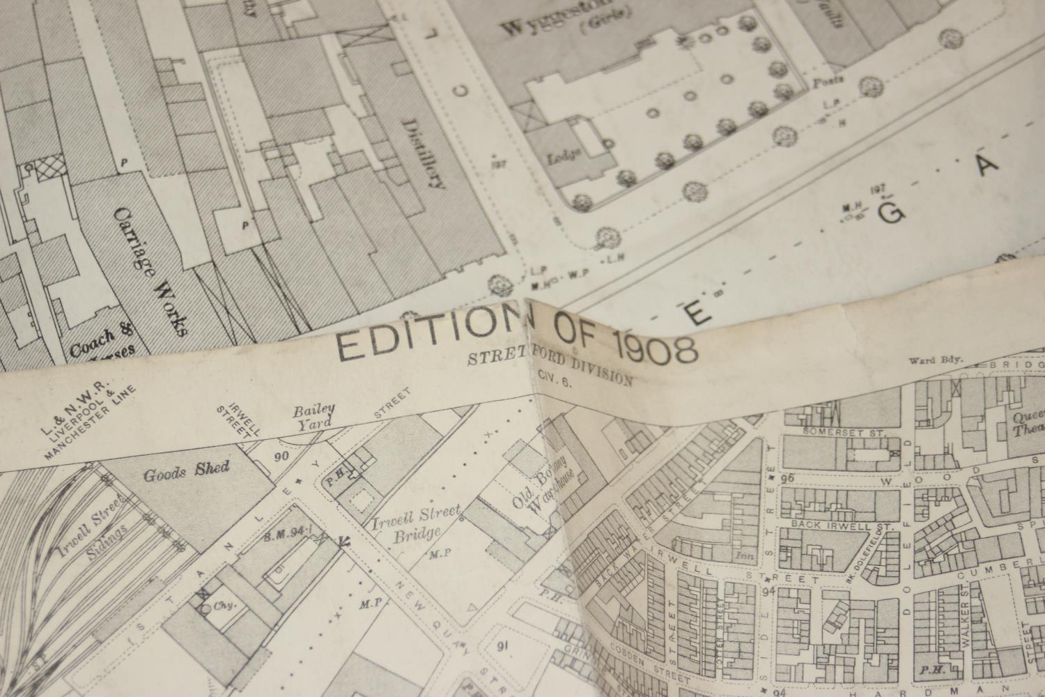
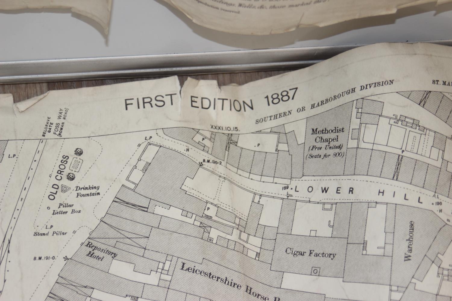
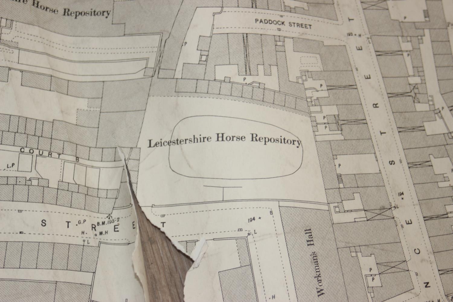
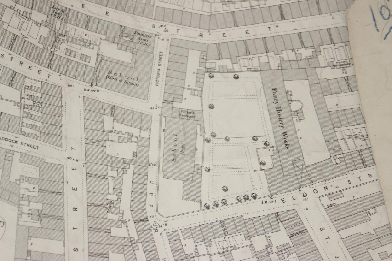
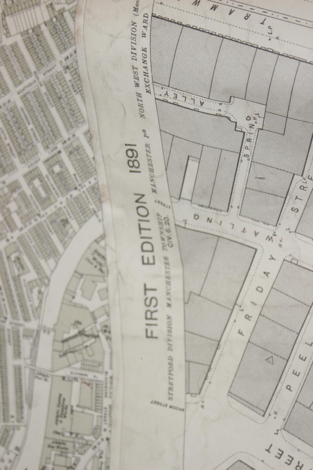
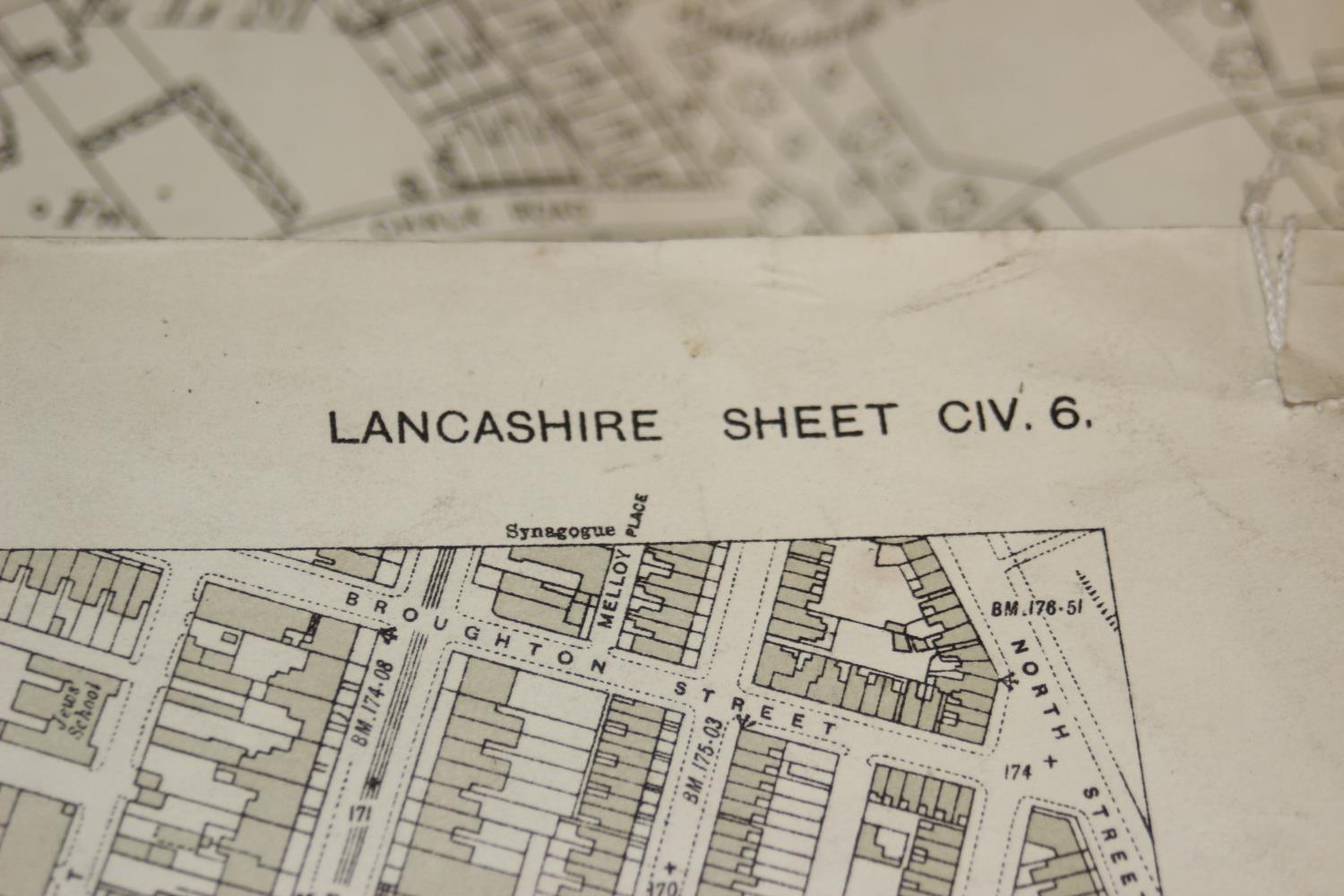
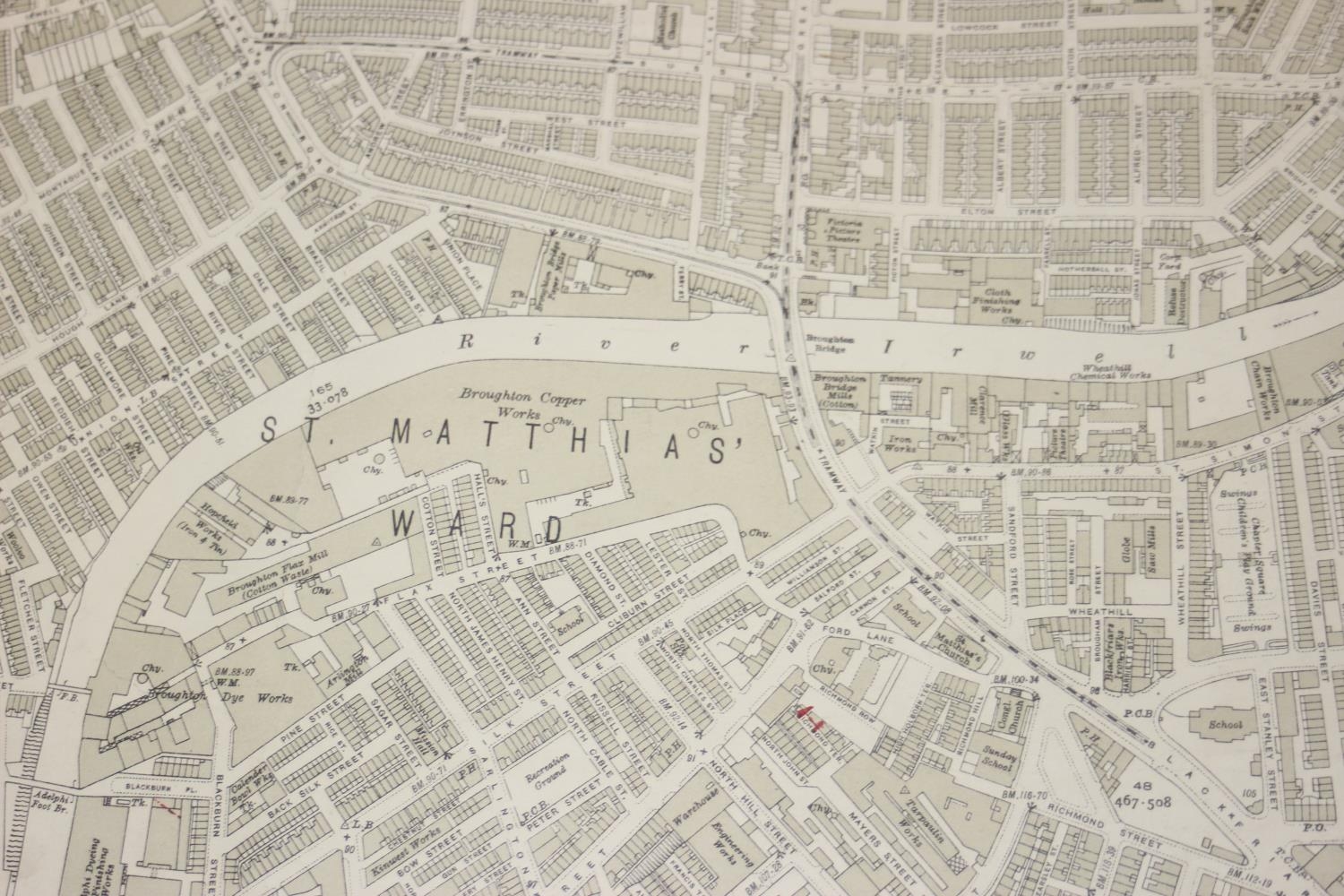
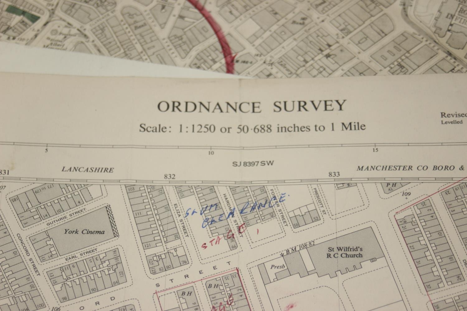
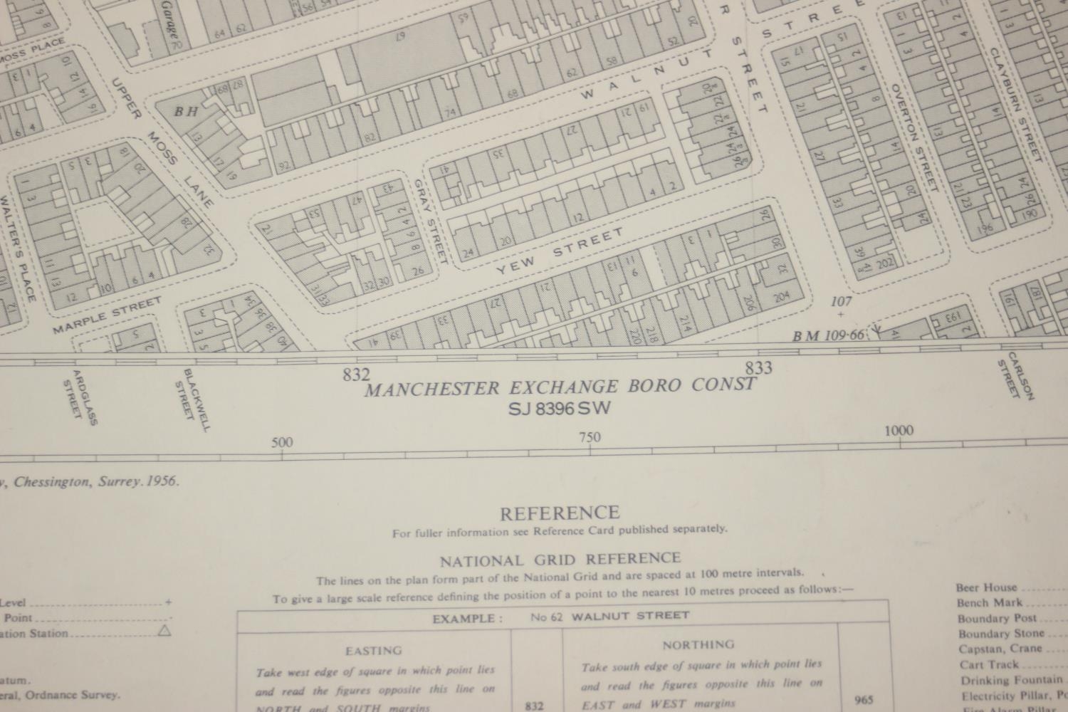
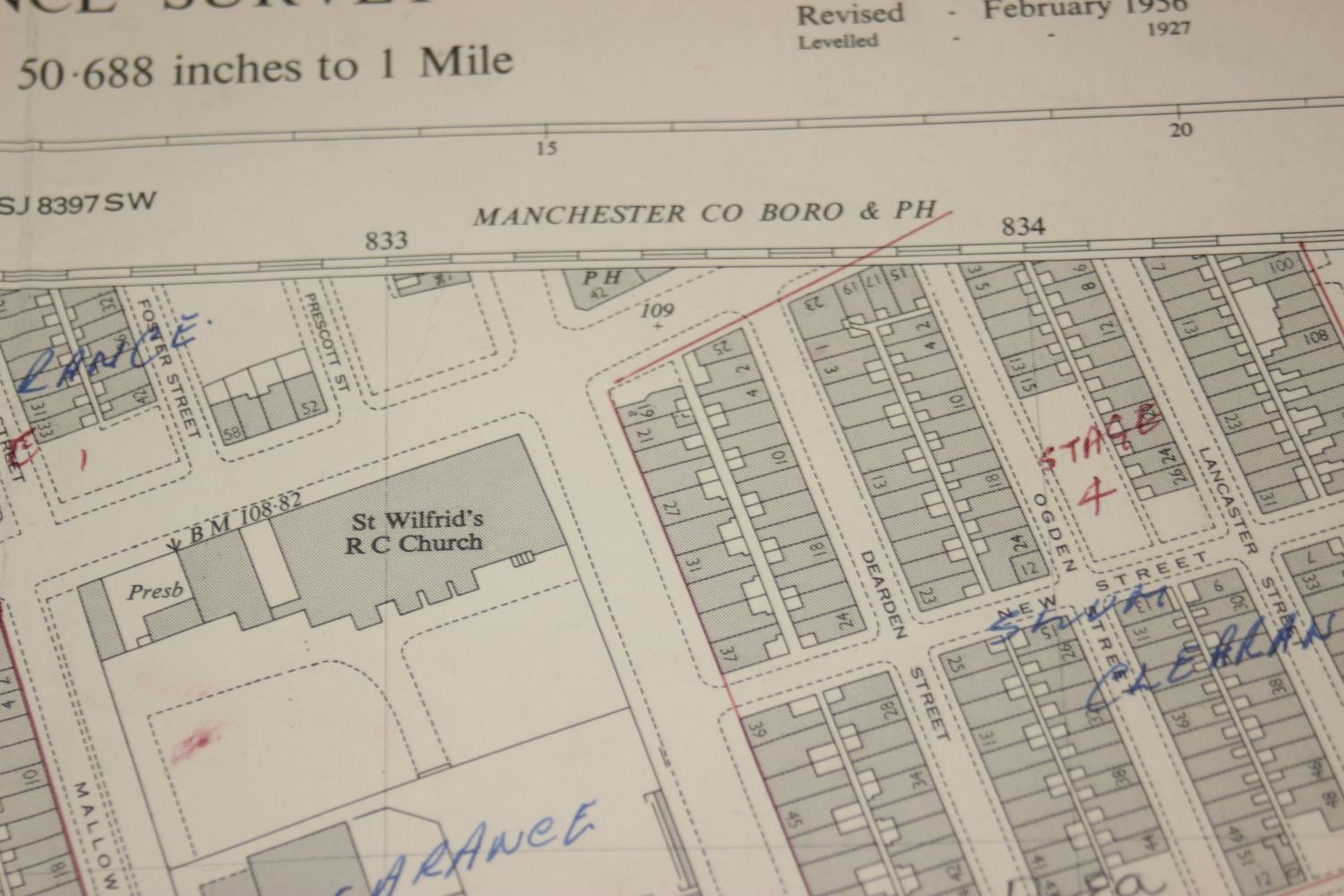
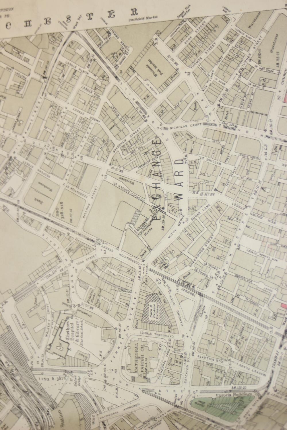
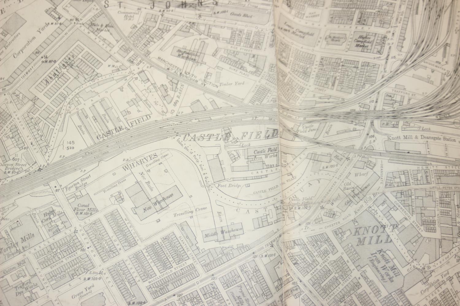
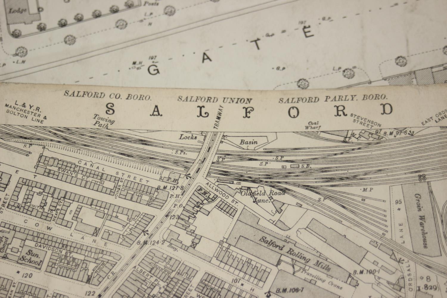
A large qty of assorted antique and vintage maps and plans mainly relating to Manchester, some dated late 19th century c.1890, mainly Ordnance Survey pieces, the largest approx 100cm x 75cm
Postage Group - X (No postage or packing) - Condition reports are available upon request, no item should be assumed to be in good condition unless a condition report states so - All weights, measurements and dimensions are approximate & gross without deductions, picture measurements are always including frames - All electrical and mechanical lots (to include but not limited to watches, clocks, cameras, Hi-Fi) are sold as non working without exception - For full Terms & Conditions please see the Churchill Auctions website
Fees apply to the hammer price:
Free Registration
27.6% inc VAT*
Flat Fee Registration
24.00% inc VAT*