£250
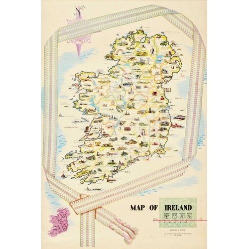
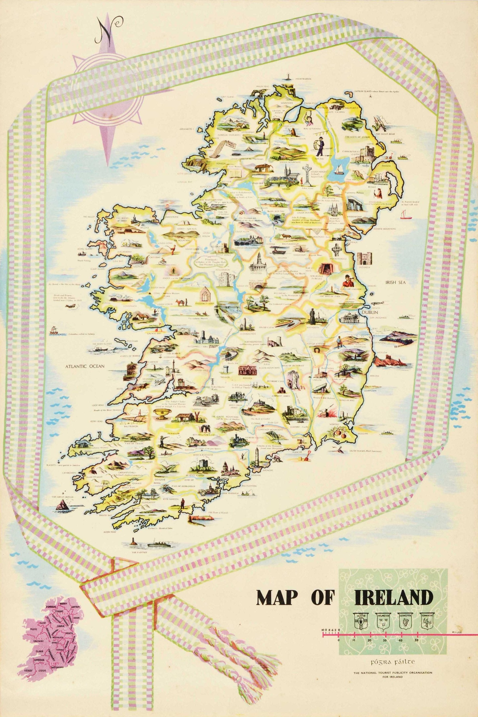
Travel Poster Map Of Ireland. Original vintage illustrated Map of Ireland poster featuring various annotated images of people, hills, ancient monuments, ships and boats, historic ruins, waterfalls, planes and roads, lighthouses, fields, beaches, cities and towns, the Irish Sea and the Atlantic Ocean with a compass point above, framed by a knitted scarf with a smaller map and the title text with the coat of arms for Ulster, Munster, Leinster and Connacht and a mile distance scale line below. Issued by The National Tourist Publicity Organisation for Ireland. Good condition, creasing, staining, small tears. Country of issue: Ireland, designer: Unknown, size (cm): 91x61, year of printing: 1950s.
Fees apply to the hammer price:
Free Registration
23.6% inc VAT*
Flat Fee Registration
20.00% inc VAT*

