


No Estimate
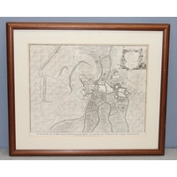
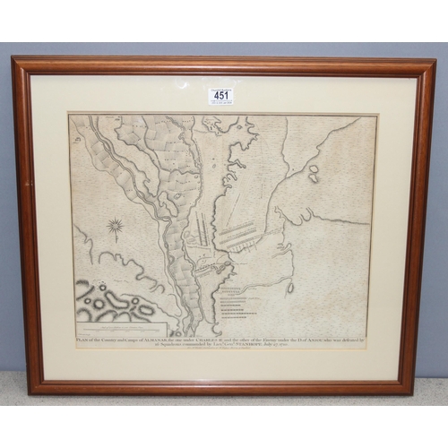
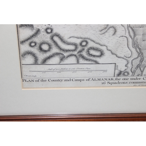
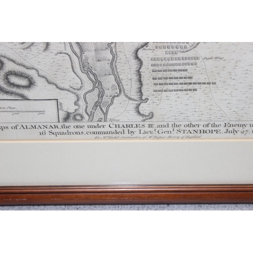
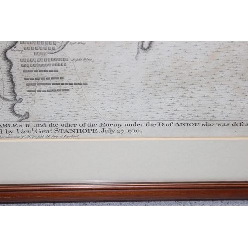
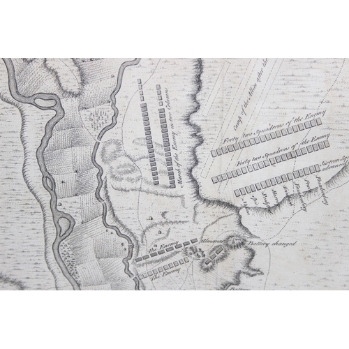
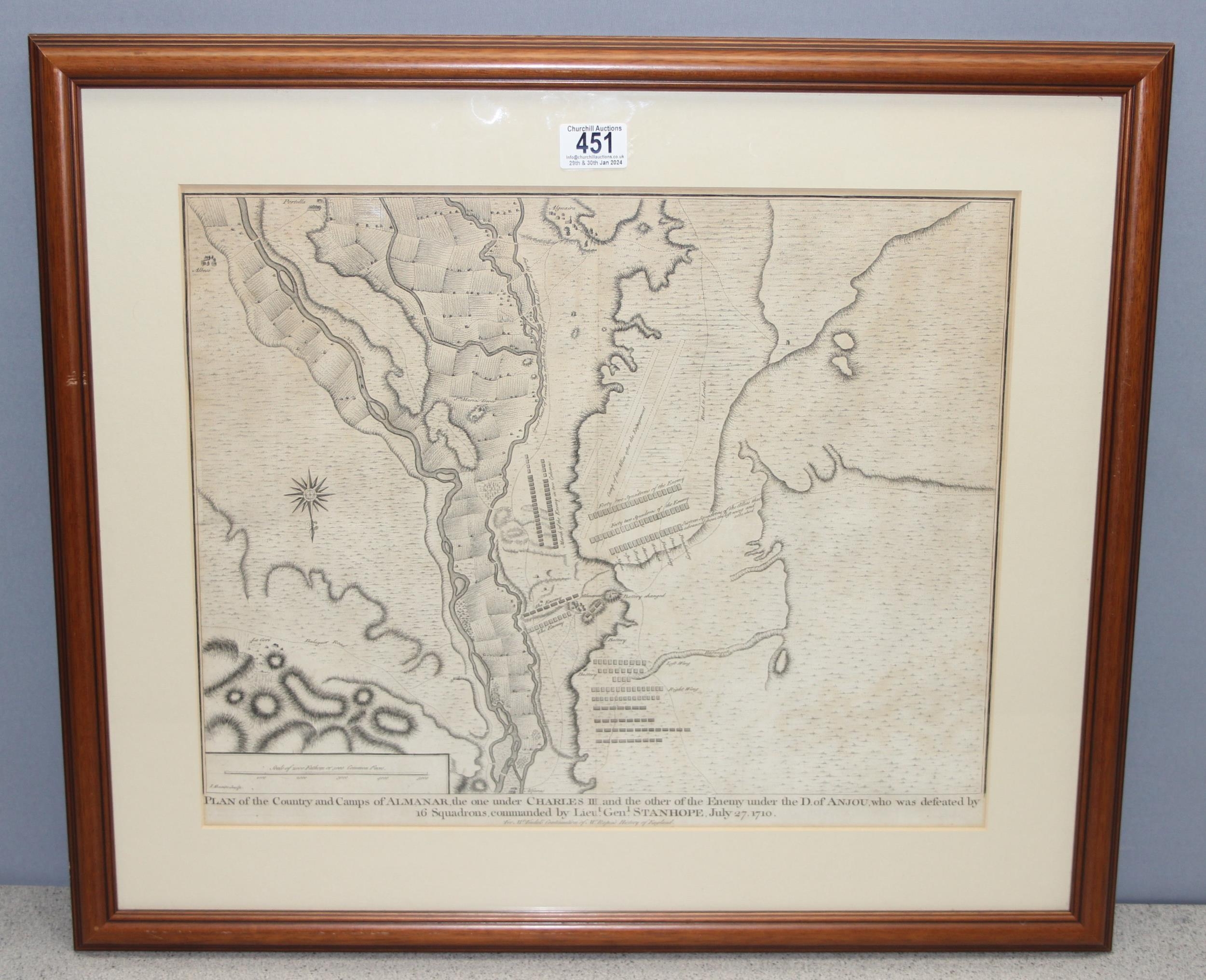
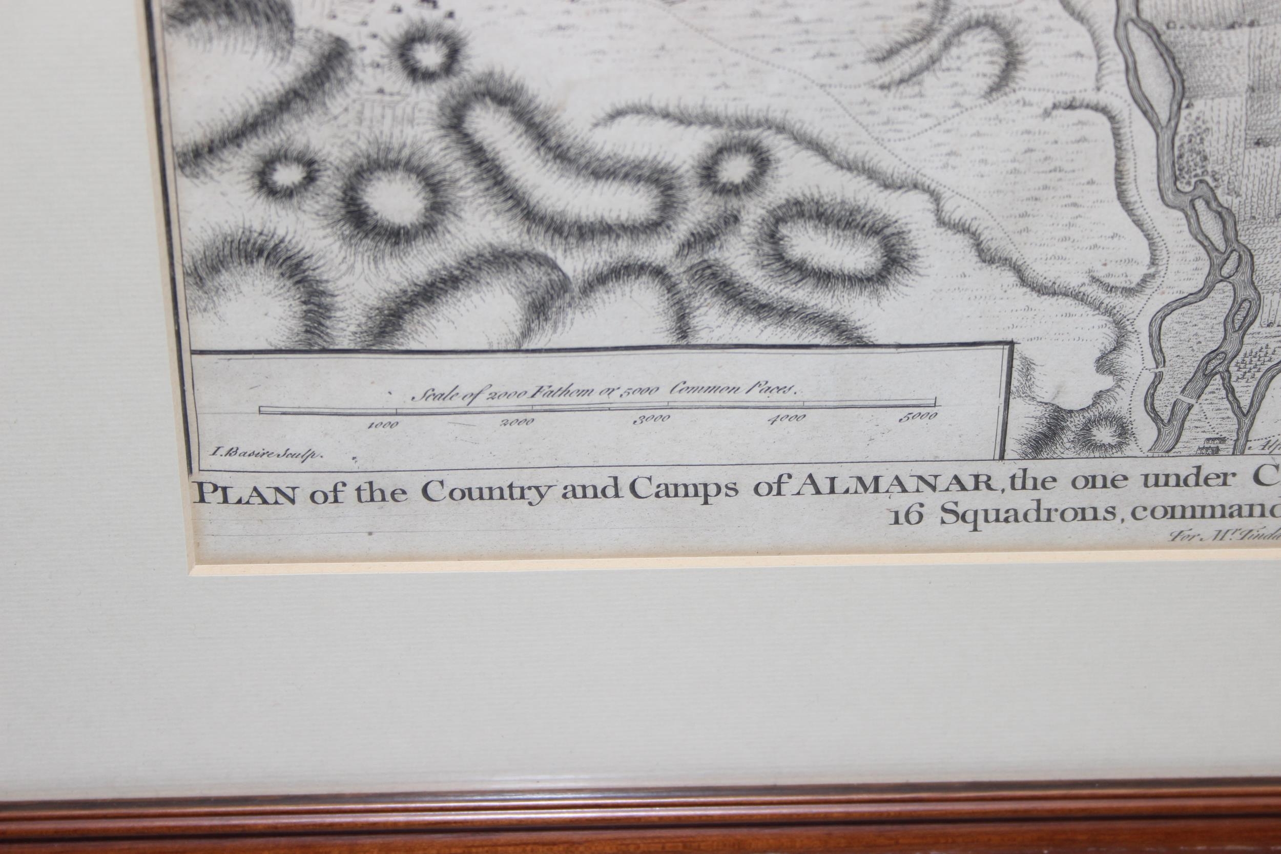
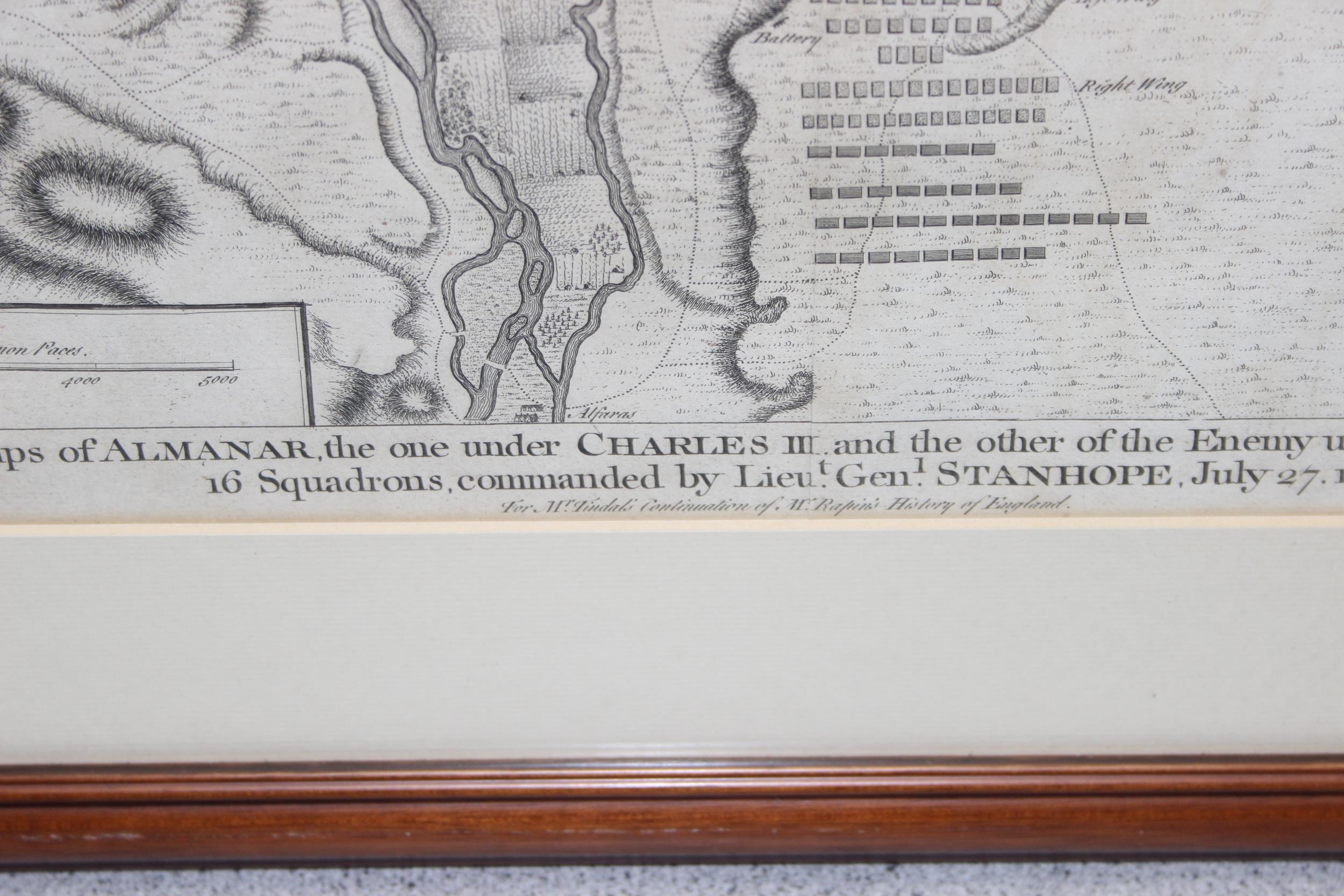
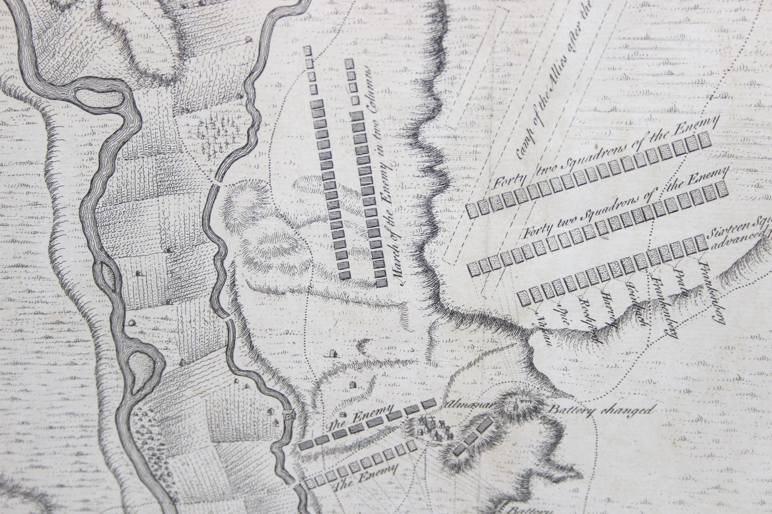
18th century map - "Plan of the Country and camps of Almanar, the one under Charles III and the other of the Enemy under the D. Of Anjou, who was defeated by 16 squadrons, commanded by Lieut. Gen. Stanhope. July 27, 1710.". From Tindal's Continuation of Mr. Rapin's History of England engraved by James Basire c.1744. Battle plan of Almanar, Old antique engraved plan with excellent detail of the fortifications of Almanar Spain, approx 65cm x 55cm inc frame
Postage Group - X (No postage or packing)
Condition reports are available upon request, no item should be assumed to be in good condition unless a condition report states so.
All electrical and mechanical lots (to include but not limited to watches, clocks, cameras, Hi-Fi) are sold as non working without exception.
For full Terms & Conditions please see the Churchill Auctions website
Fees apply to the hammer price:
Free Registration
25.2% inc VAT*
Flat Fee Registration
21.60% inc VAT*