
£40 - £80
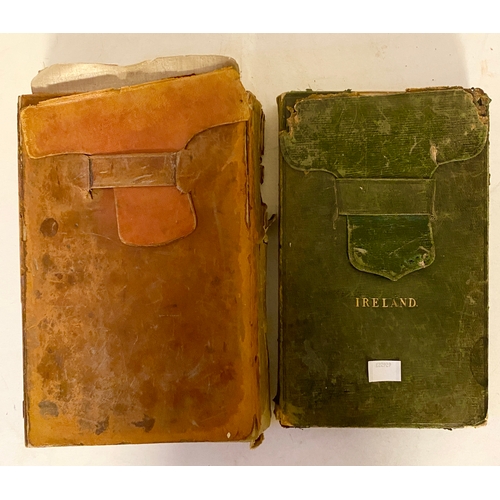
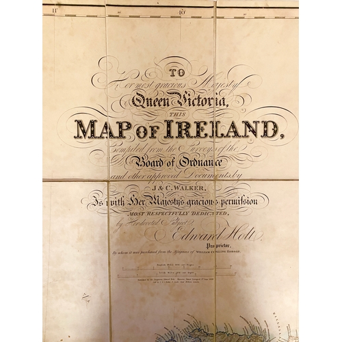
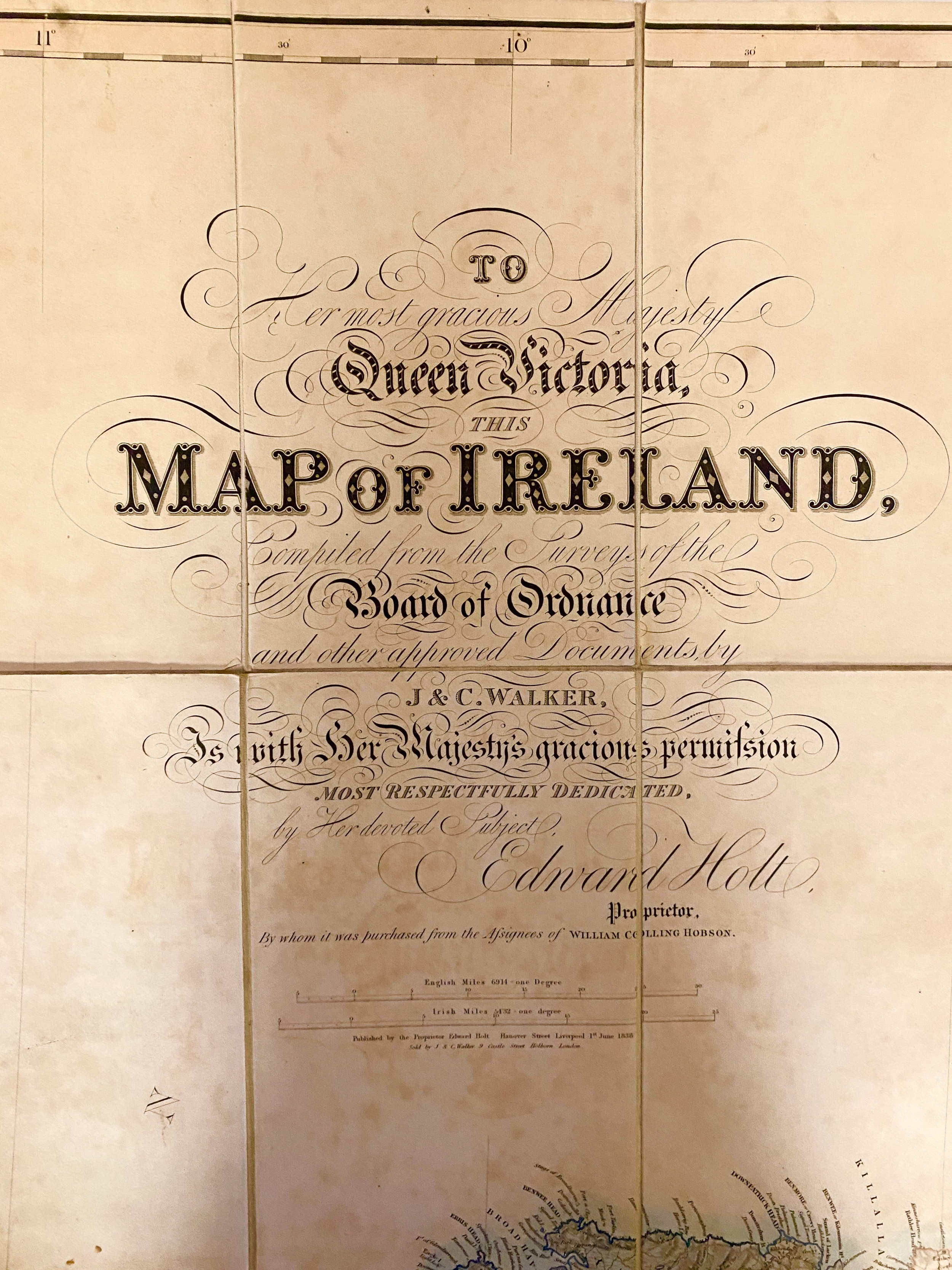
CARTOGRAPHY, IRELAND. Two leather pouches with linen backed maps of Ireland. In one, a group of maps, which we assume cover the whole island. One states: 'This Map was Constructed By Order of the Government for the Specific Purposes of the Railway Commisssion'. Some mention mineral deposits. Dates for these maps c. 1839. 'A General Map of Ireland to Accompany the Report of the Railway Commission Shewing the Principal Physical and Geological Structures of the Country'. 'Constructed in 1836 and Engraved in 1837-8' Published by Hodges and Smith, Dublin and James Gardner, London. Then a second map covering the whole island: 'To Queen Victoria. This map of Ireland Compiled from the Surveys of the Board of Ordnance and other Approved Documents by J. and C. Walker is with Her Majesty's Gracious Permission Most Respectfully Dedicated By Her Devoted Subject, Edward Holt etc.
Fees apply to the hammer price:
Free Registration
28.6% inc VAT*
Flat Fee Registration
25.00% inc VAT*