'19 century map of Plymouth and Devenport' 'Royal Atlas of E...

by Lay's Auctioneers
1/3

Estimate

£20 - £40

Fees

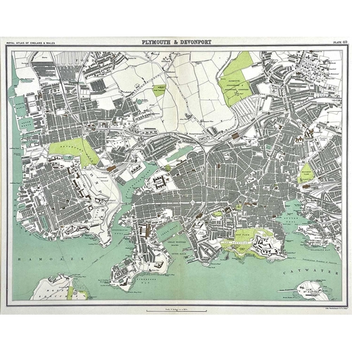
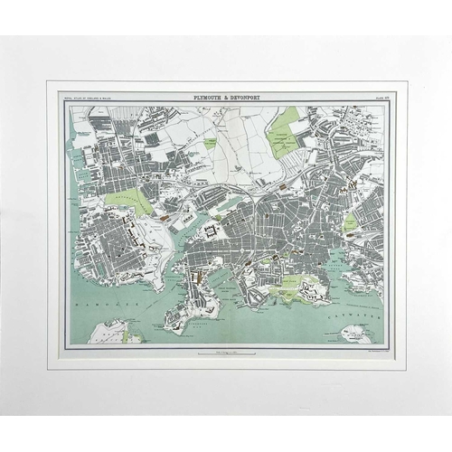
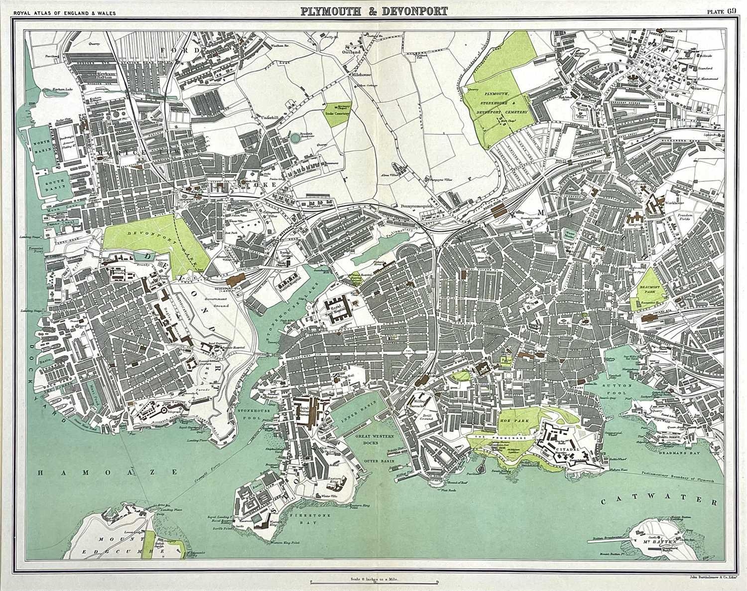
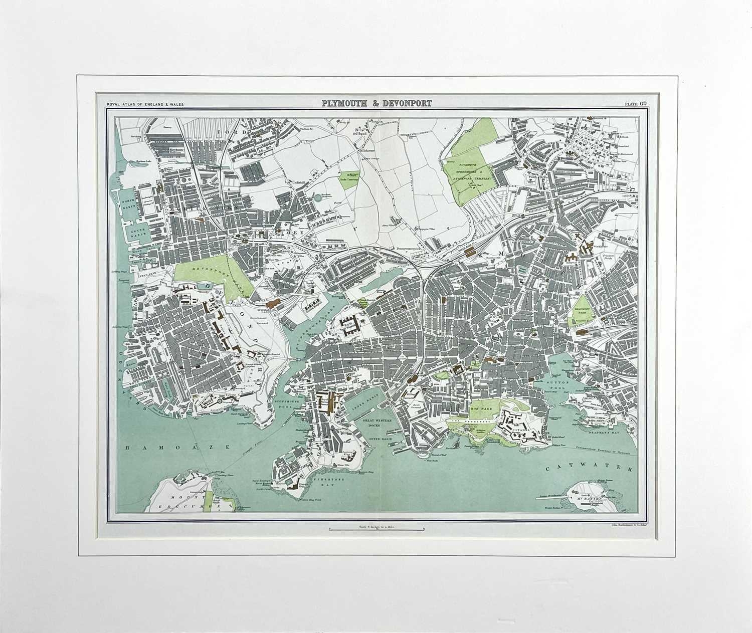
'19 century map of Plymouth and Devenport' 'Royal Atlas of Engand and Wales, plate 69, steel engraved map, mounted, John Bartholemew & Co, Edinborough, 1898. 35cm x 44cm.

Closed
Auction Date:
10th Nov 22 at 10am GMT

Fees apply to the hammer price:

Free Registration
25.2% inc VAT*

Flat Fee Registration
21.60% inc VAT*

*These fees include buyers premiums and internet surcharges.
Please see the auctioneers terms & conditions for more information

Other Lots in this Auction

Lay's Auctioneers

Sale Dates:
Thu 10th Nov 2022 10am GMT (Lots 1 to 563)