


£12
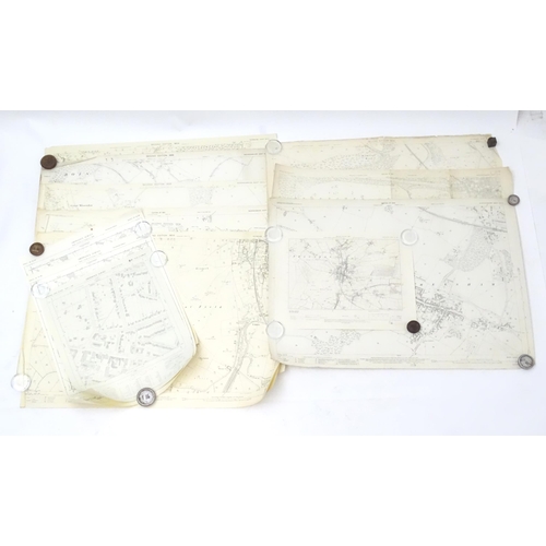
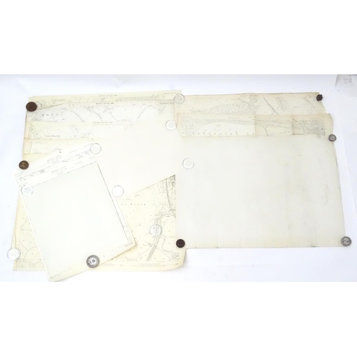
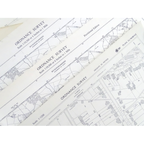
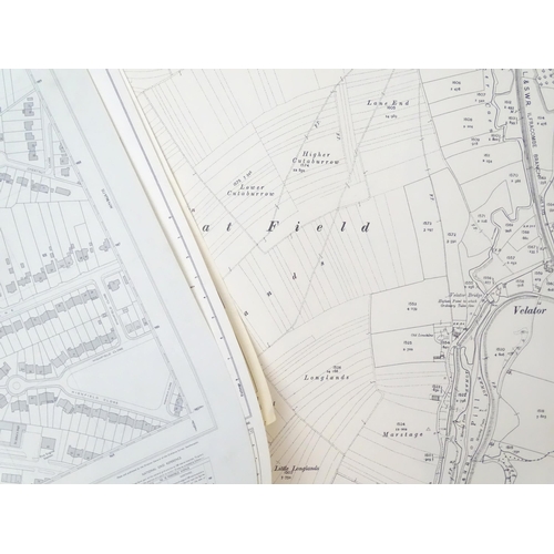
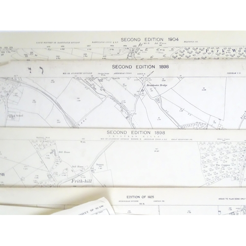
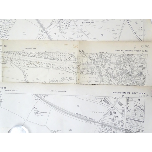
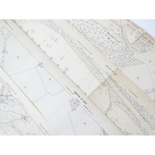
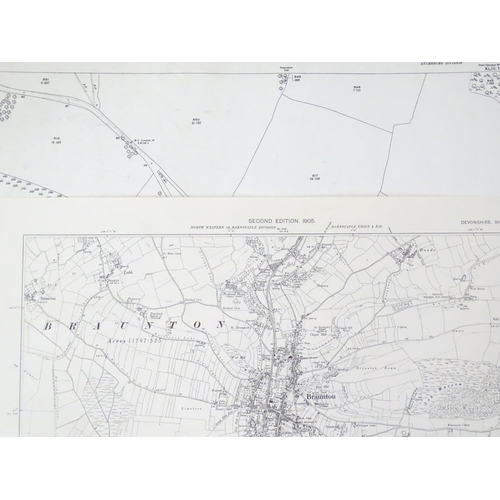
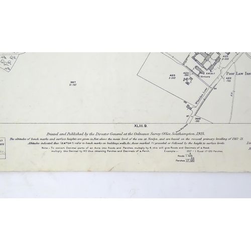
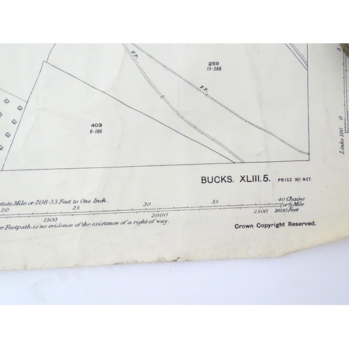
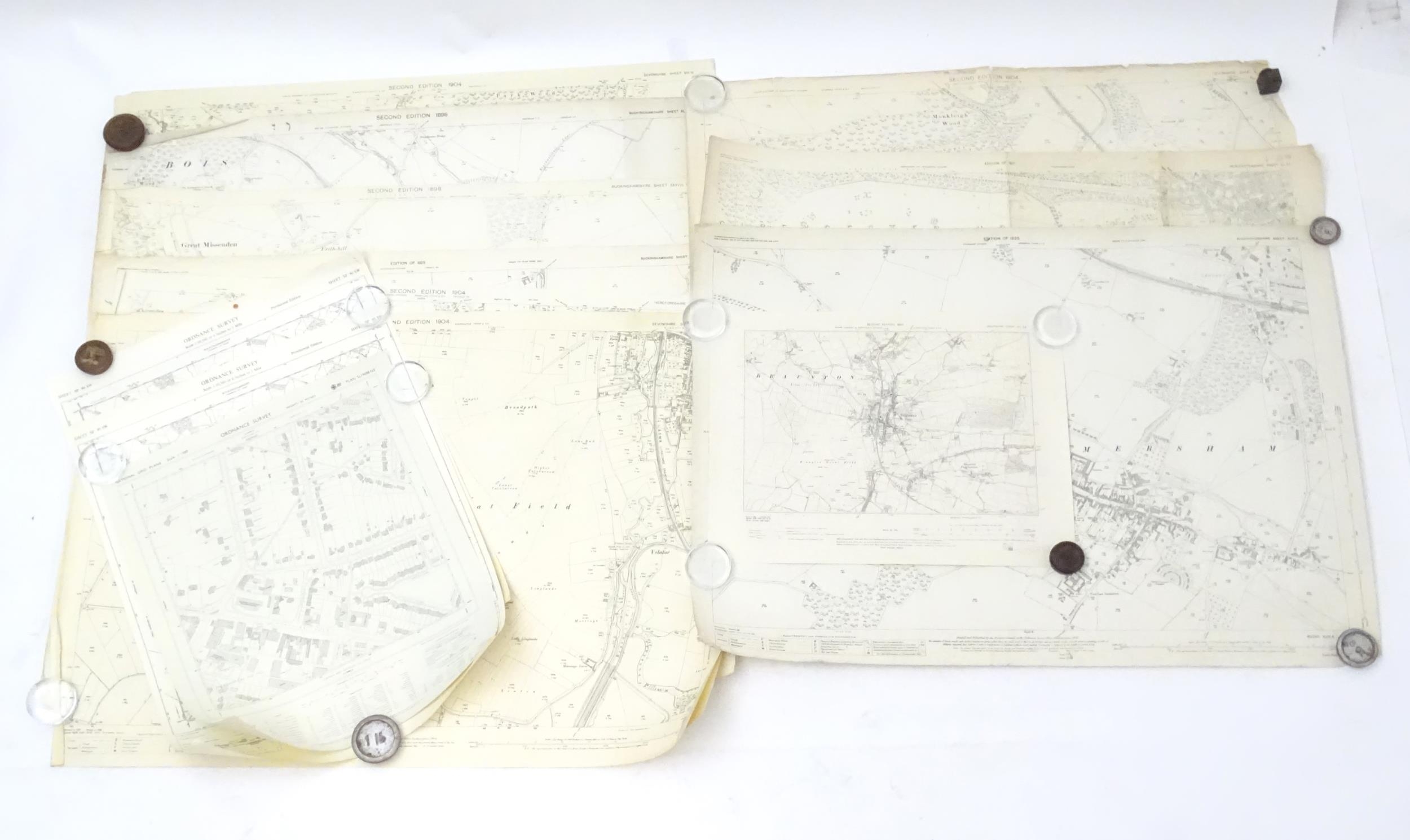
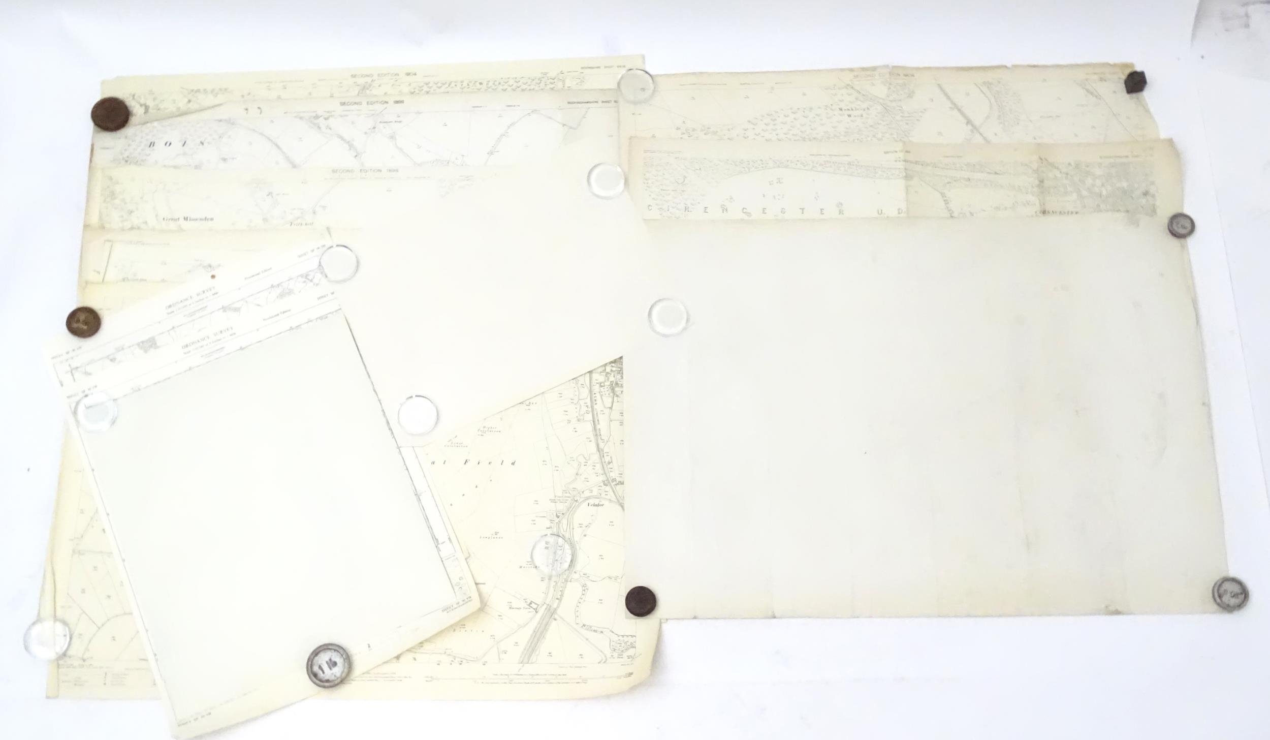
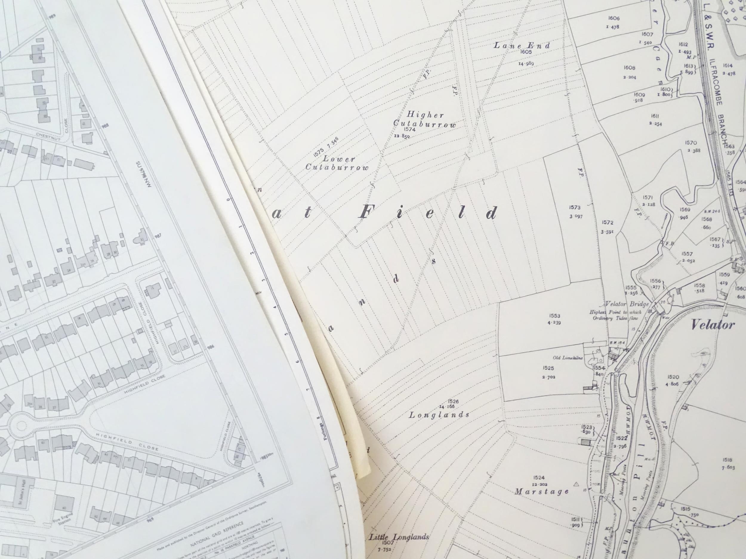
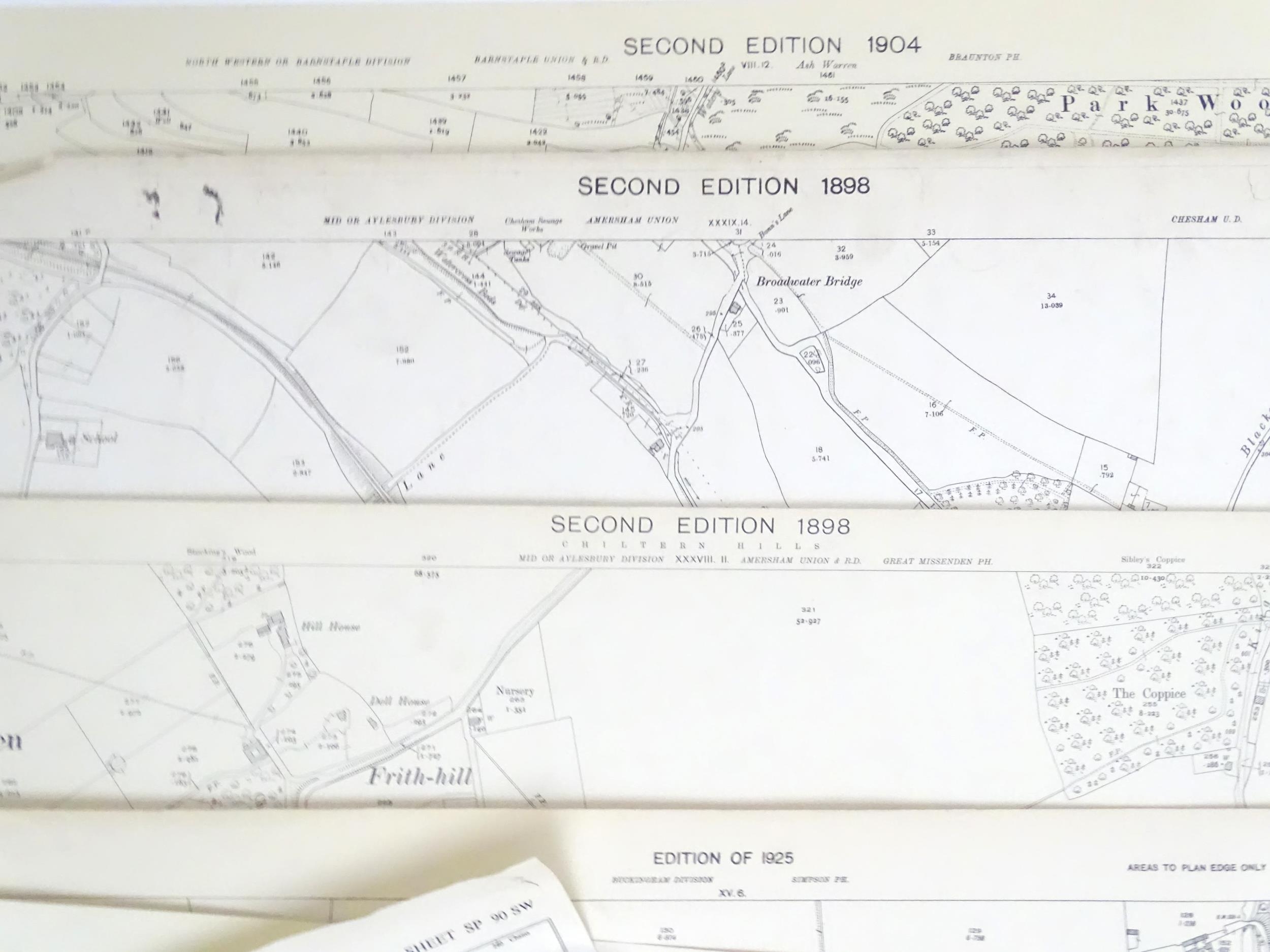
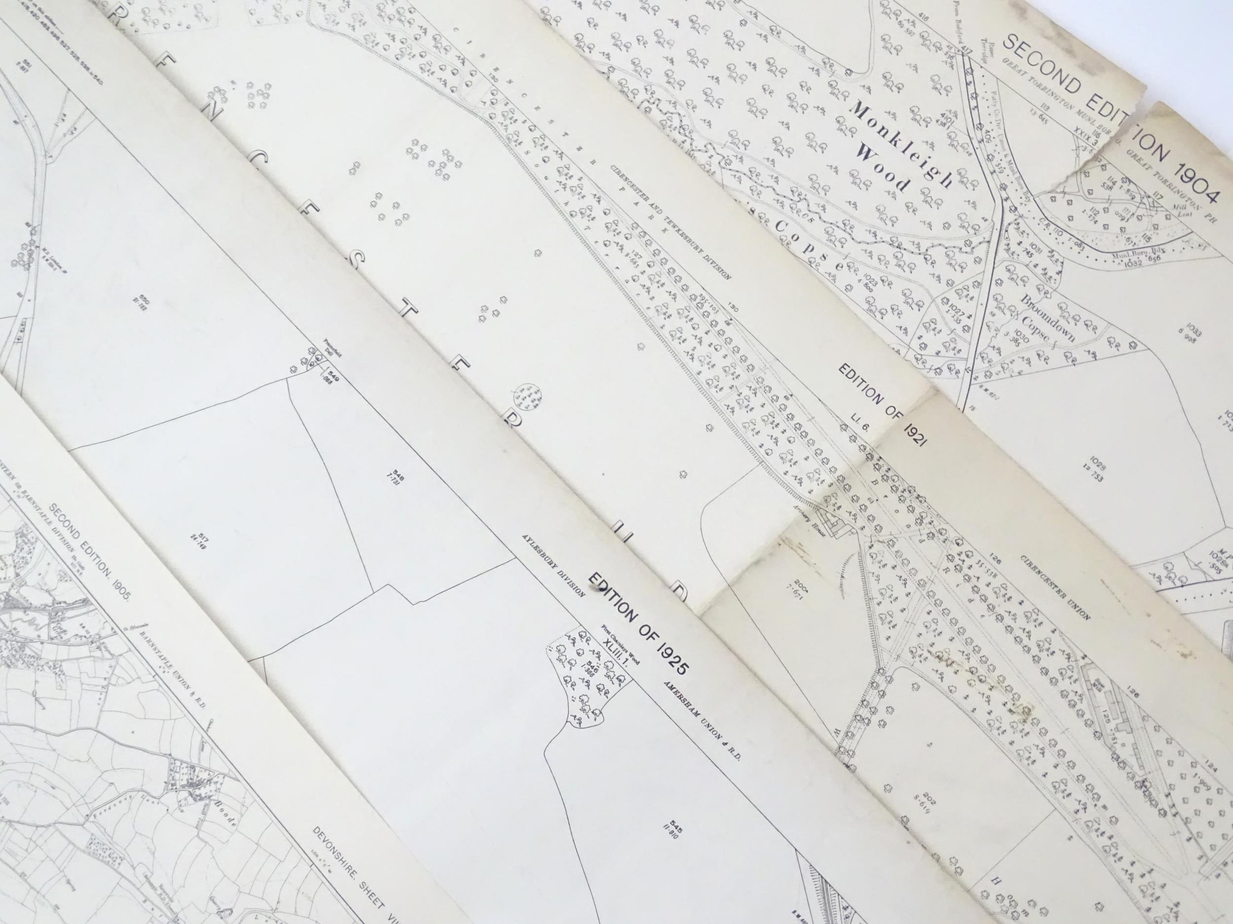
A quantity of early 20thC maps representing road, tracks and footpaths, published by the Ordnance Survey Office to include sheet maps for Buckinghamshire, Hertfordshire, Gloucestershire and Devonshire. Together with Ordnance Survey plans. Largest approx. 29" x 41" (12)
Please Note - we do not make reference to the condition of lots within descriptions. We are however happy to provide additional information regarding the condition of items on request.
Fees apply to the hammer price:
Free Registration
27% inc VAT*
Flat Fee Registration
23.40% inc VAT*

