Co. Westmeath:  Ordnance Survey Maps, engd. fold. Index Map ...

by Fonsie Mealy Auctioneers
1/3

Estimate

€300 - €400

Fees

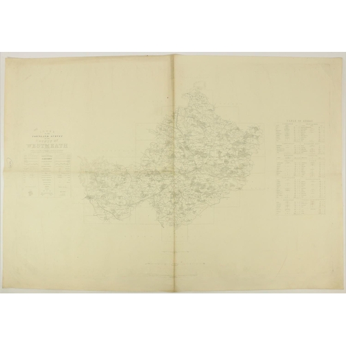
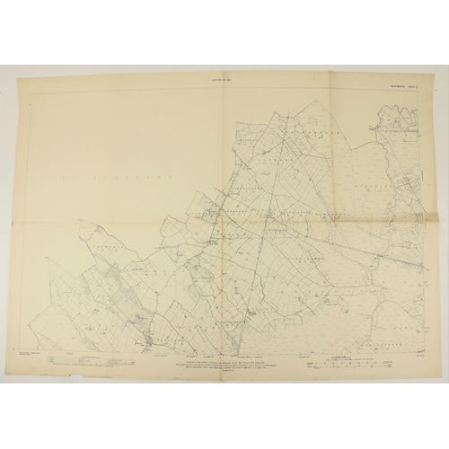
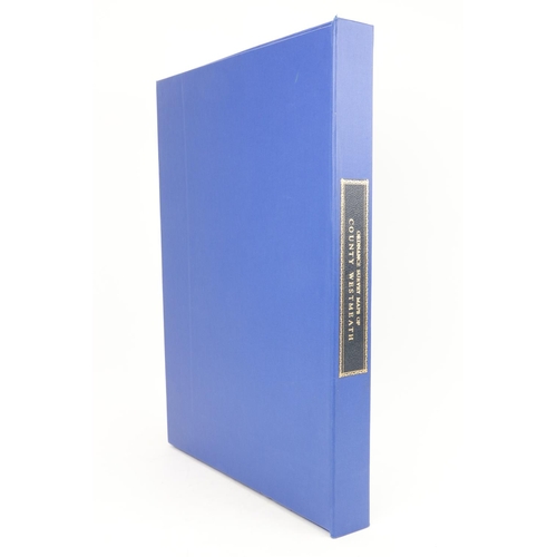
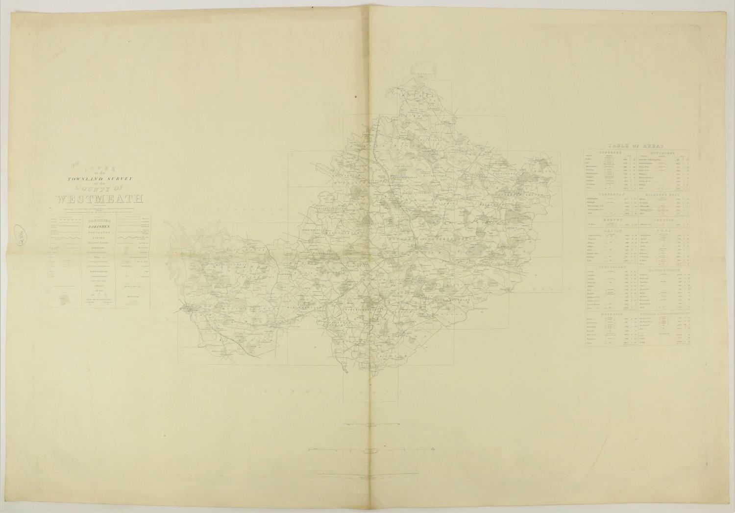
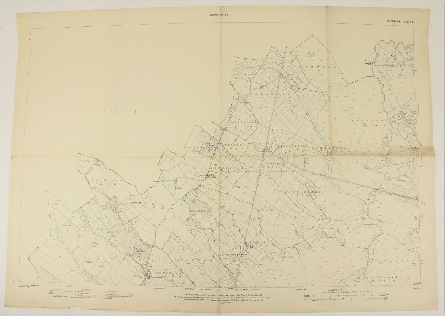
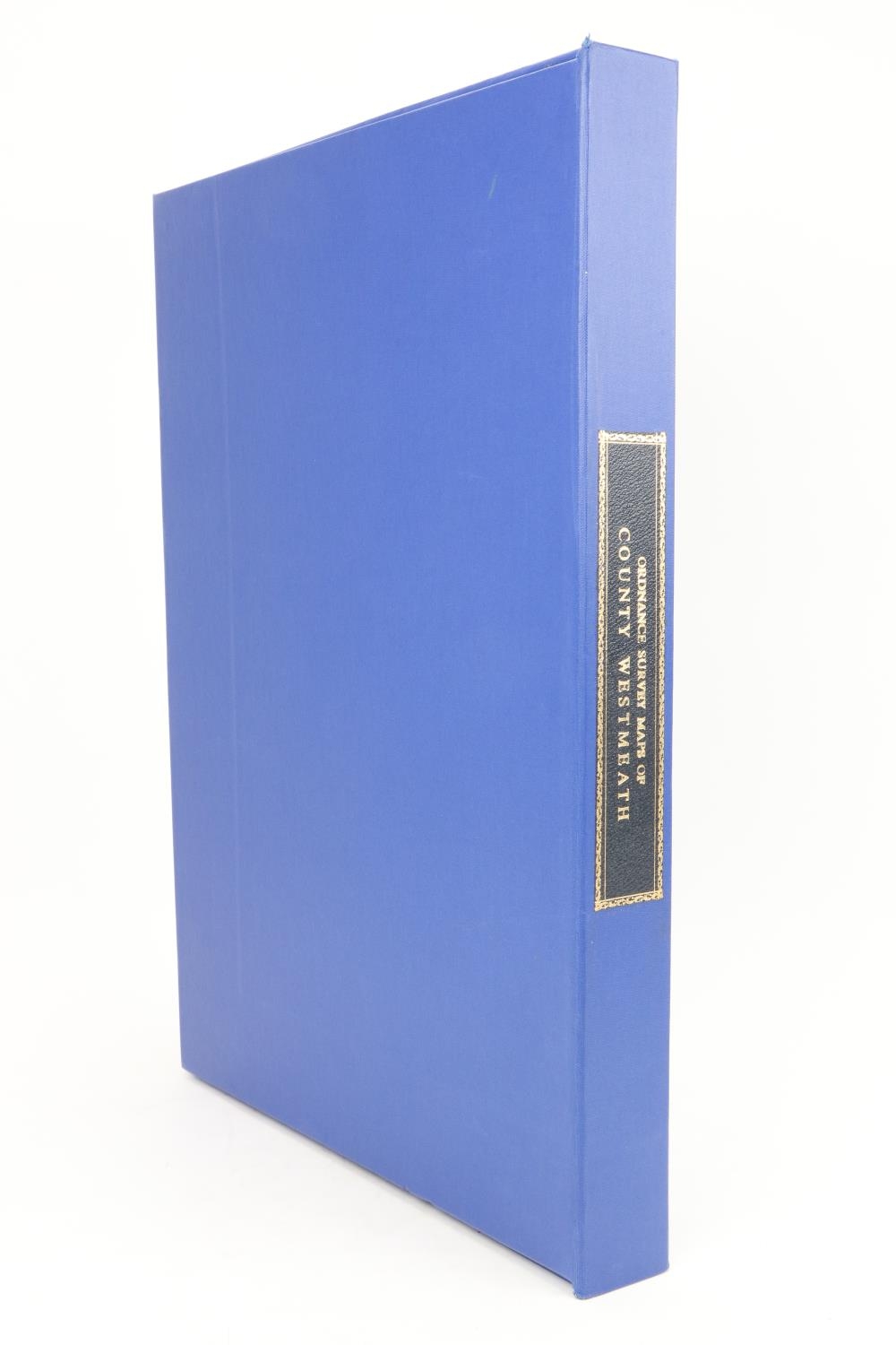
Co. Westmeath:  Ordnance Survey Maps, engd. fold. Index Map to Co. Westmeath, c. 1886, & collection of 45 lg. folding 6" maps (mostly), all Dublin c. 1913-1914, all v. good, now contained in large cloth box, mor. label on spine. V. good. As maps, w.a.f. (1)

Timed Auction
Auction Ends:
1st Mar 23 from 10am GMT

Fees apply to the hammer price:

Free Registration
26.69% inc VAT*

*These fees include buyers premiums and internet surcharges.
Please see the auctioneers terms & conditions for more information
My Max Bid:
Reserve:
Bids:
Watching:

Other Lots in this Auction

Fonsie Mealy Auctioneers

Sale Dates:
Ends Wed 1st Mar 2023 from 10am GMT