![5877 - Cartography - [Hutchinson (Thomas)], Geographia Magnæ Britanniæ., Or, Correct Maps of all the Counti...](https://content.easyliveauction.com/auctions/images_lots/D25E94ED10D7736022C9C89B4DE884E8_bam01/1100045107_PREVIEW.JPG)
![5877 - Cartography - [Hutchinson (Thomas)], Geographia Magnæ Britanniæ., Or, Correct Maps of all the Counti...](https://content.easyliveauction.com/auctions/images_lots/D25E94ED10D7736022C9C89B4DE884E8_bam01/1100045106_PREVIEW.JPG)
£550
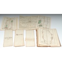
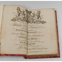
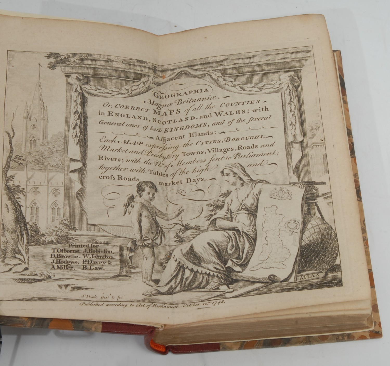
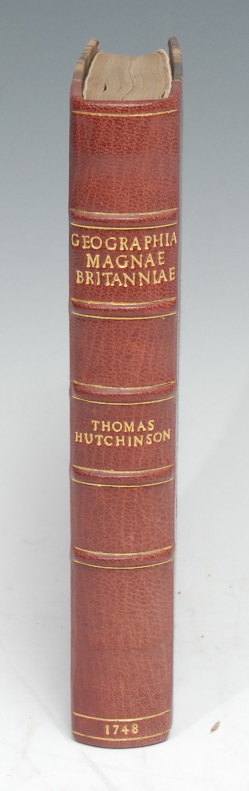
Cartography - [Hutchinson (Thomas)], Geographia Magnæ Britanniæ., Or, Correct Maps of all the Counties in England, Scotland, and Wales [...], [London]: Printed for T. Osborne [...], October 12th 1748, copperplate printed, pp: double title-page by Samuel Wale RA (1721?-1786), [2], 1 fold-out map of England & Wales only (lacks the Kingdom of Scotland), 60 maps (3 bound out of sequence), 39, [1] (blank), [26] (index), [1] (blank), 20th century red morocco gilt over marbled boards by Graham Bloodworth, Leciester, his ticket, marbled endpapers en suite, 8vo, [1]
Fees apply to the hammer price:
Free Registration
28.8% inc VAT*
Flat Fee Registration
25.20% inc VAT*