£190
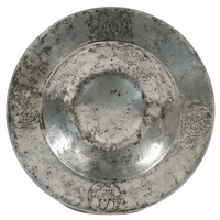
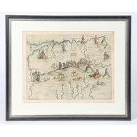
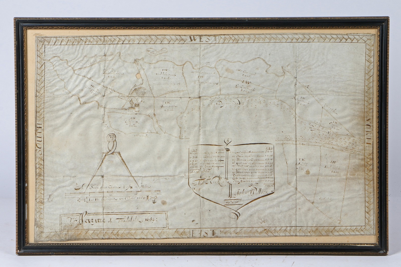
A CHARLES II PEN AND INK LANDMAP, ENGLISH, DATED 1684. Depicting the division of land between a Thomas Kirkham and a John Willson, 65cm wide, 41cm high including frame.
Fees apply to the hammer price:
Free Registration
33.6% inc VAT*
Flat Fee Registration
30.00% inc VAT*