£12
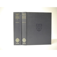
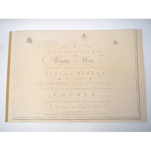
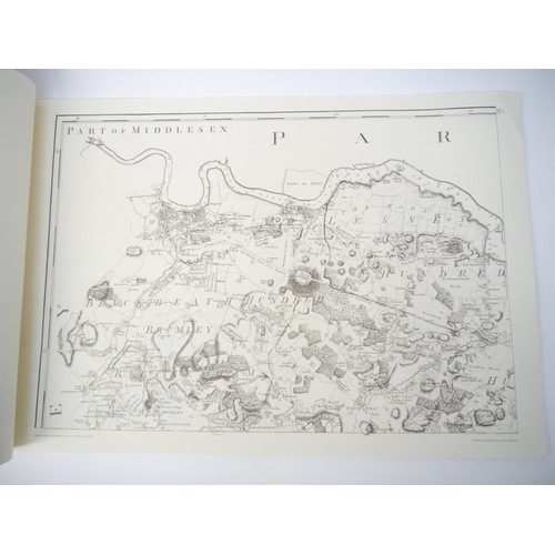
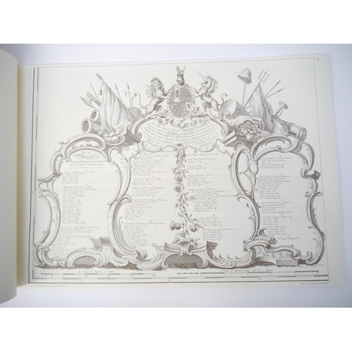
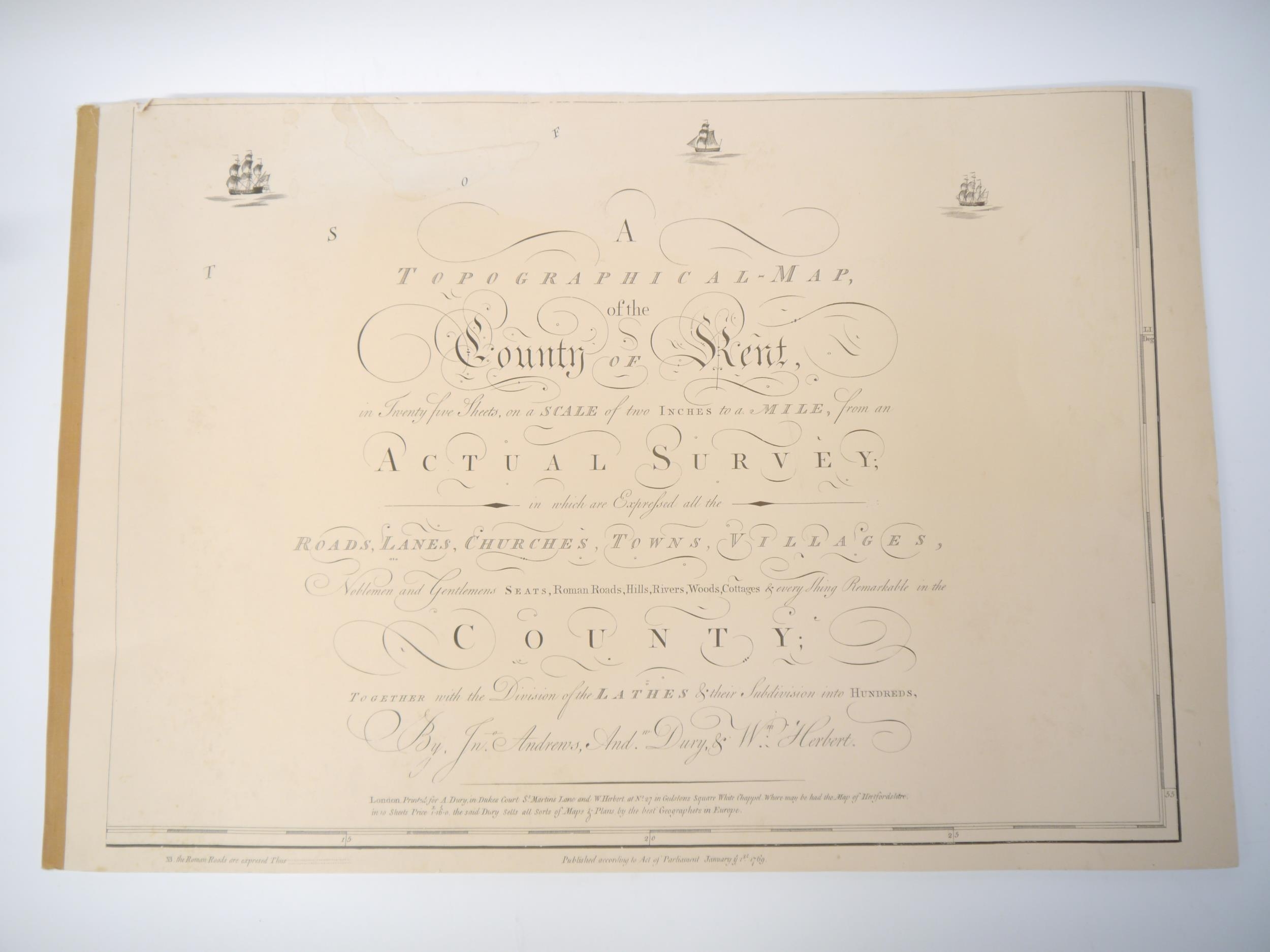
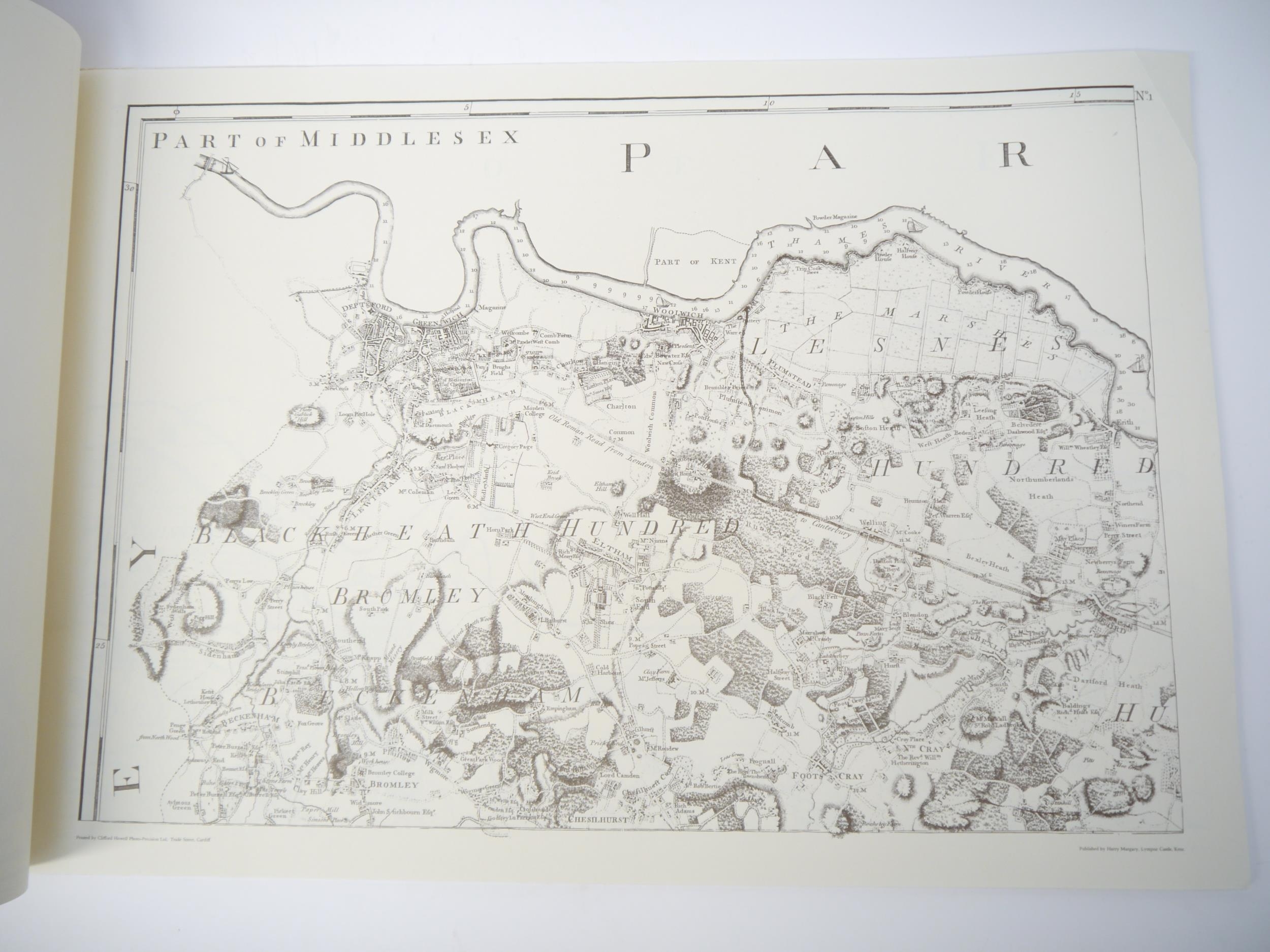
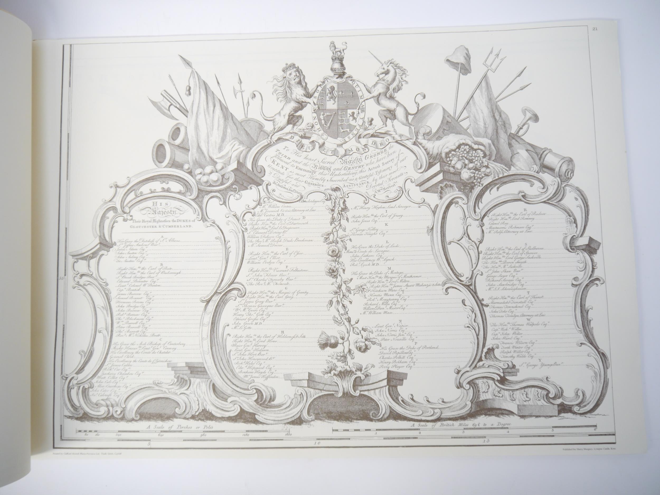
'A Topographical Map of the County of Kent', Lympne Castle, Harry Margary, 1968, a reproduction of the 1769 original by John Andrews and others, title leaf + subscription leaf and 23 leaves of maps complete, oblong folio (51.5 x 76cm), orig. linen backed printed wraps (slightly worn)
Fees apply to the hammer price:
Free Registration
25.6% inc VAT*
Flat Fee Registration
22.00% inc VAT*