£10
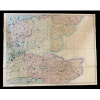
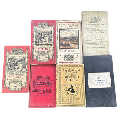
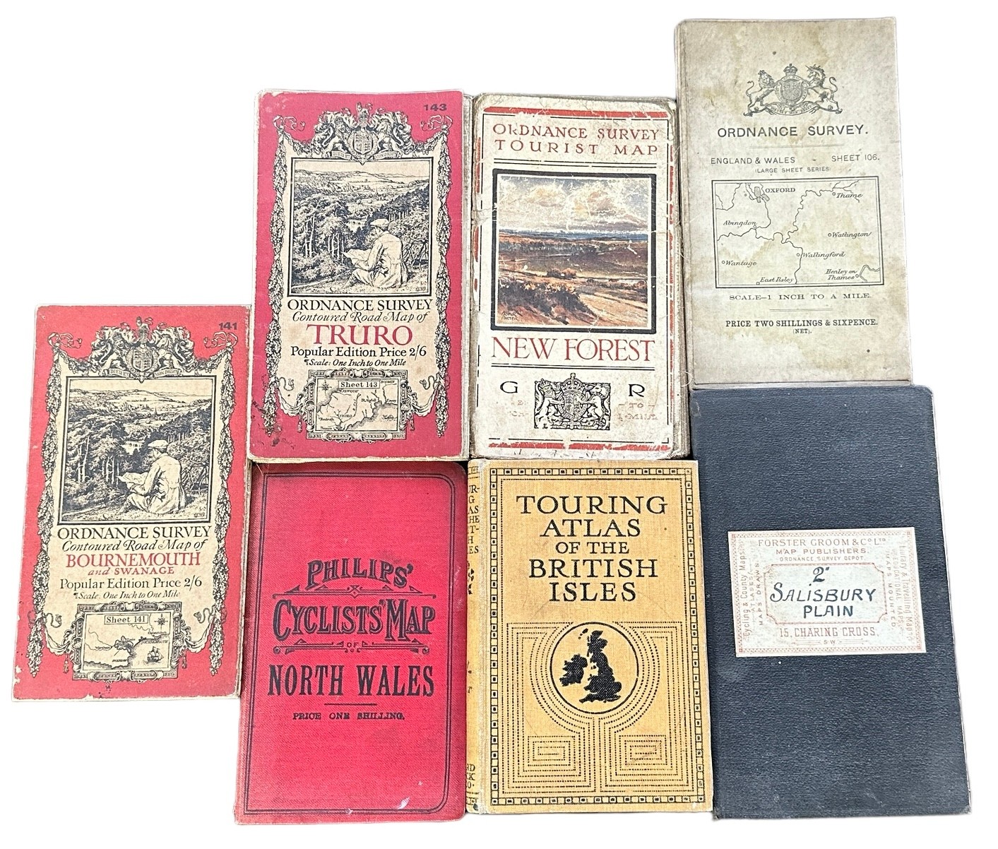
Small range of early 20th Century foldout Ordnance Survey / Road maps to include; Ordnance Survey Contoured Map of Bournemouth and Swanage, Ordnance Survey England & Wales – Sheet 106 [Forster Groom & Co Ltd], Ordnance Survey Tourist Map New Forest, Ordnance Survey Contoured Road Map of Truro, Cycling & County Maps – 2” Salisbury Plain [Forster Groom & Co Ltd], Touring Atlas of the British Isles – Specially Prepared for Cyclists, Motorists & Travellers [Ward, Lock & Co, London, 1909] & Phillips’ Cyclists Map of North Wales [The London Geographical Institute]. (7)
Fees apply to the hammer price:
Free Registration
27.6% inc VAT*
Flat Fee Registration
24.00% inc VAT*