
€90
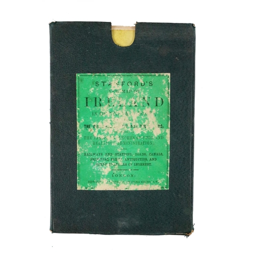
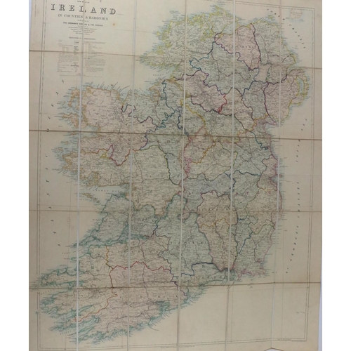
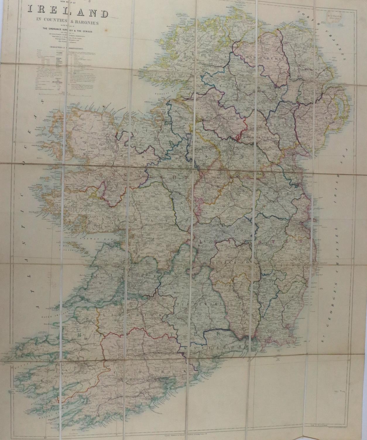
Map: Irish (Standford (E.)) Standford's New Map of Ireland in Countries and Baronies on the Basis of the Ordnance Survey and the Census, folding, hand coloured in outline, L. (Ed. Stanford) n.d. (c. 1860), approx. 99.5cms x 79cms (39" x 31"), linen backed, original cloth slip case (label worn), as a map, w.a.f. (1)
Fees apply to the hammer price:
Free Registration
28.69% inc VAT*
Flat Fee Registration
25.00% inc VAT*