


£1,300
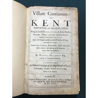
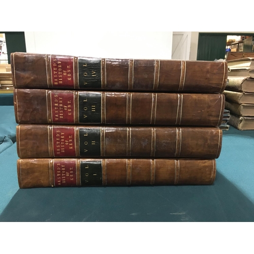
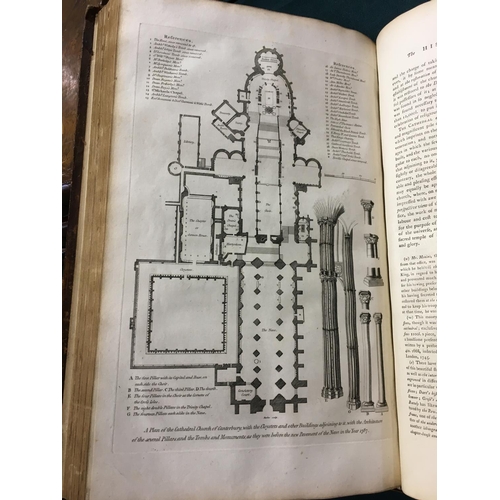
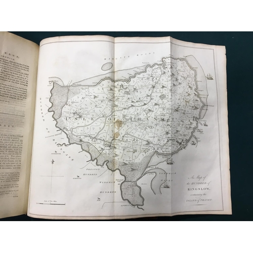
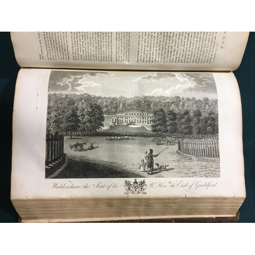
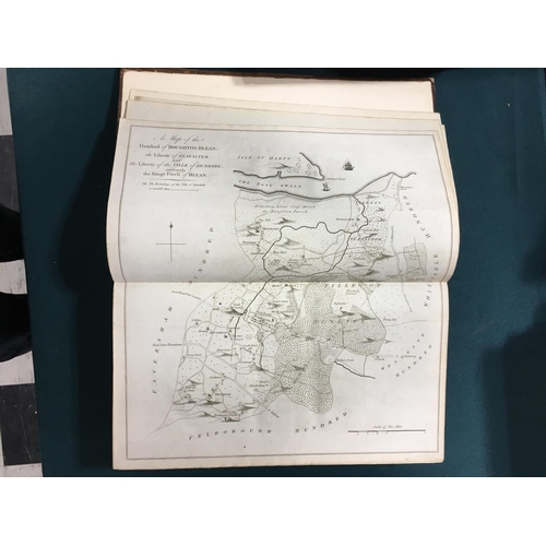
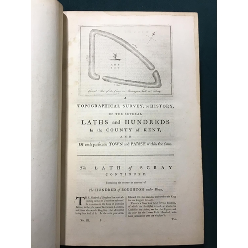
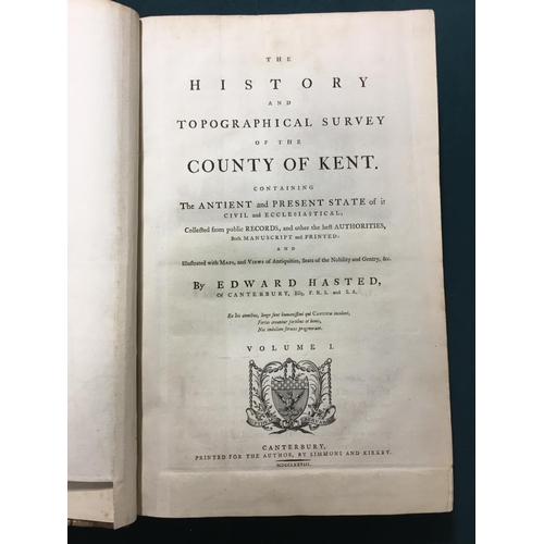
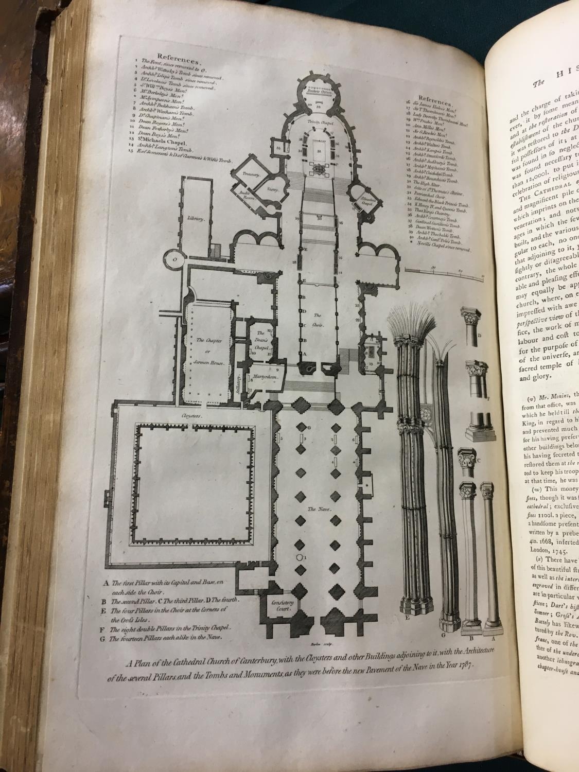
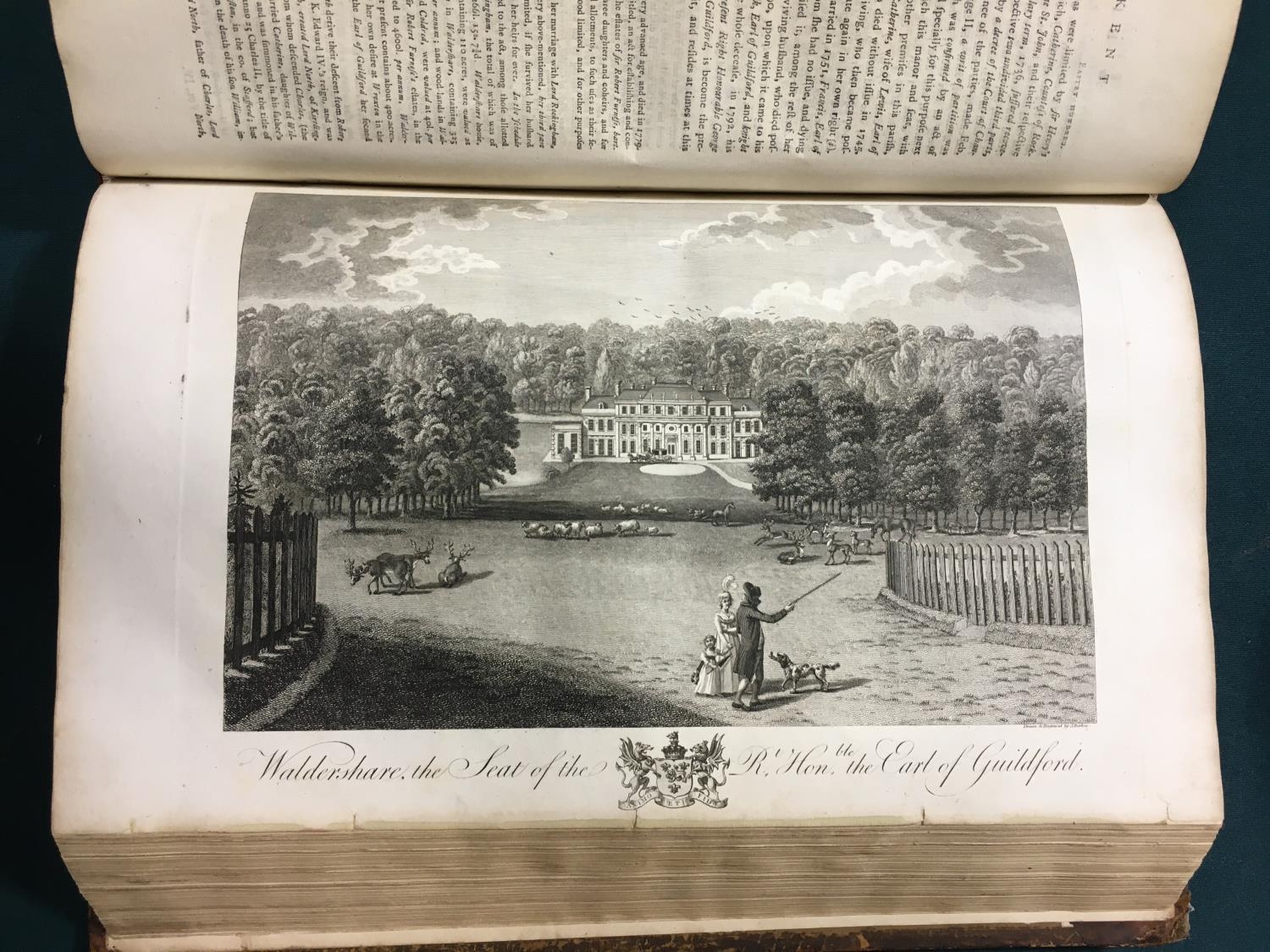
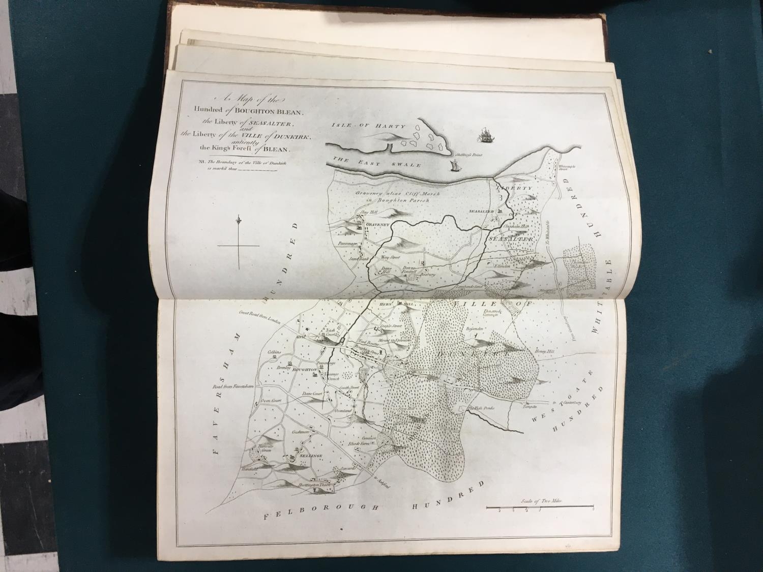
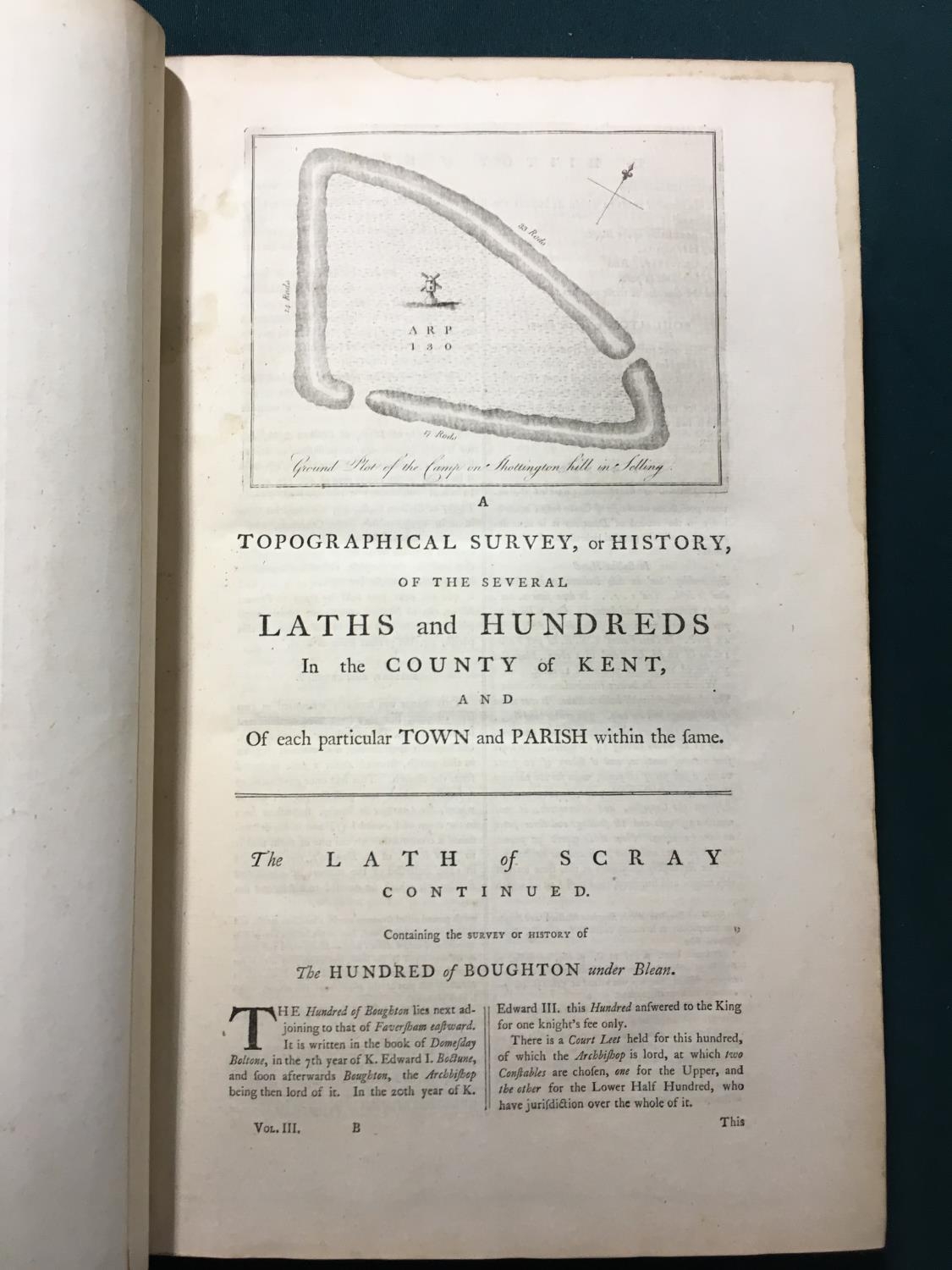
Hasted, Edward. The History and Topographical Survey of the County of Kent, 4 volumes, first edition, large folding county map, hand-coloured in outline, 57 engraved plates, 3 folding, 40 engraved maps or plans, 36 folding, numerous engravings in text, a few with tissue guards, contemporary etched calf, neatly rebacked, extremities worn, folio, Canterbury: Simmons and Kirkby, 1778-1779
Fees apply to the hammer price:
Free Registration
33.6% inc VAT*
Flat Fee Registration
30.00% inc VAT*