
£60
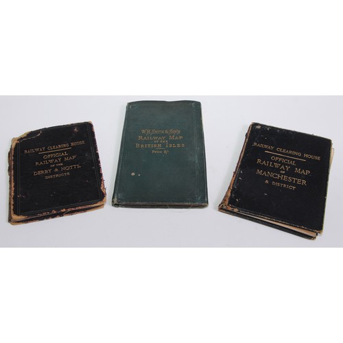
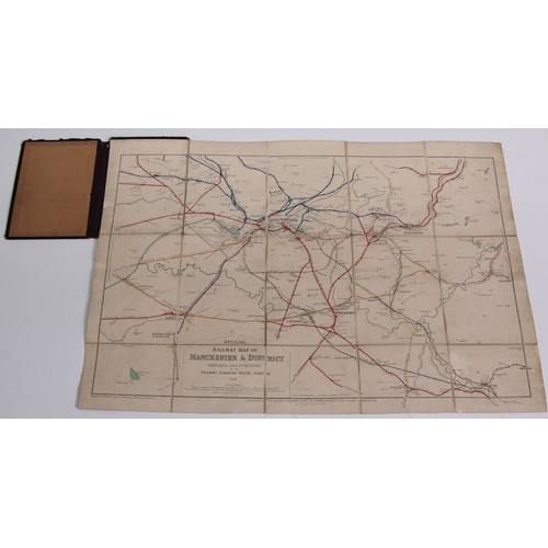
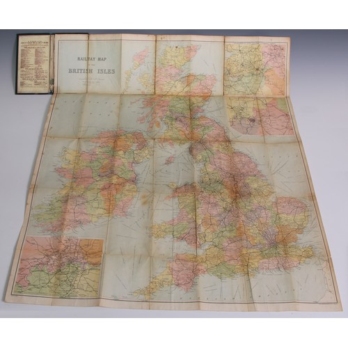
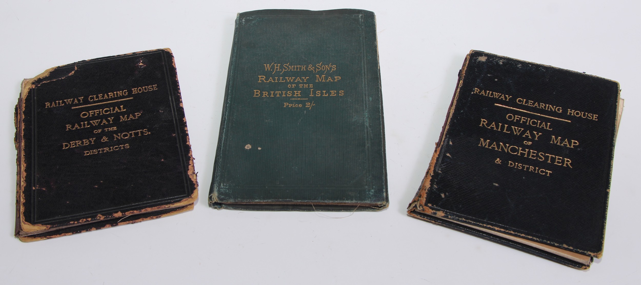
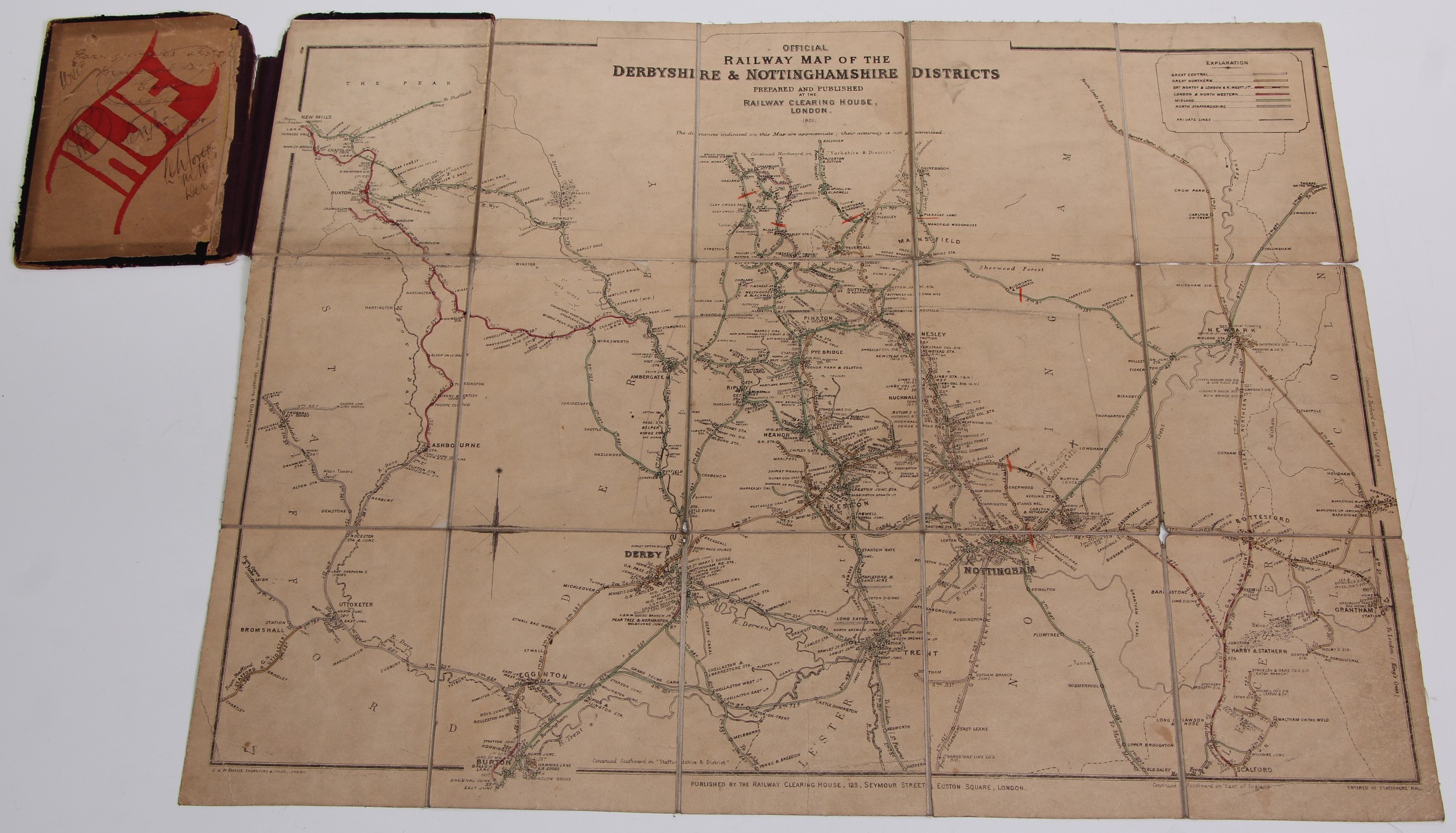
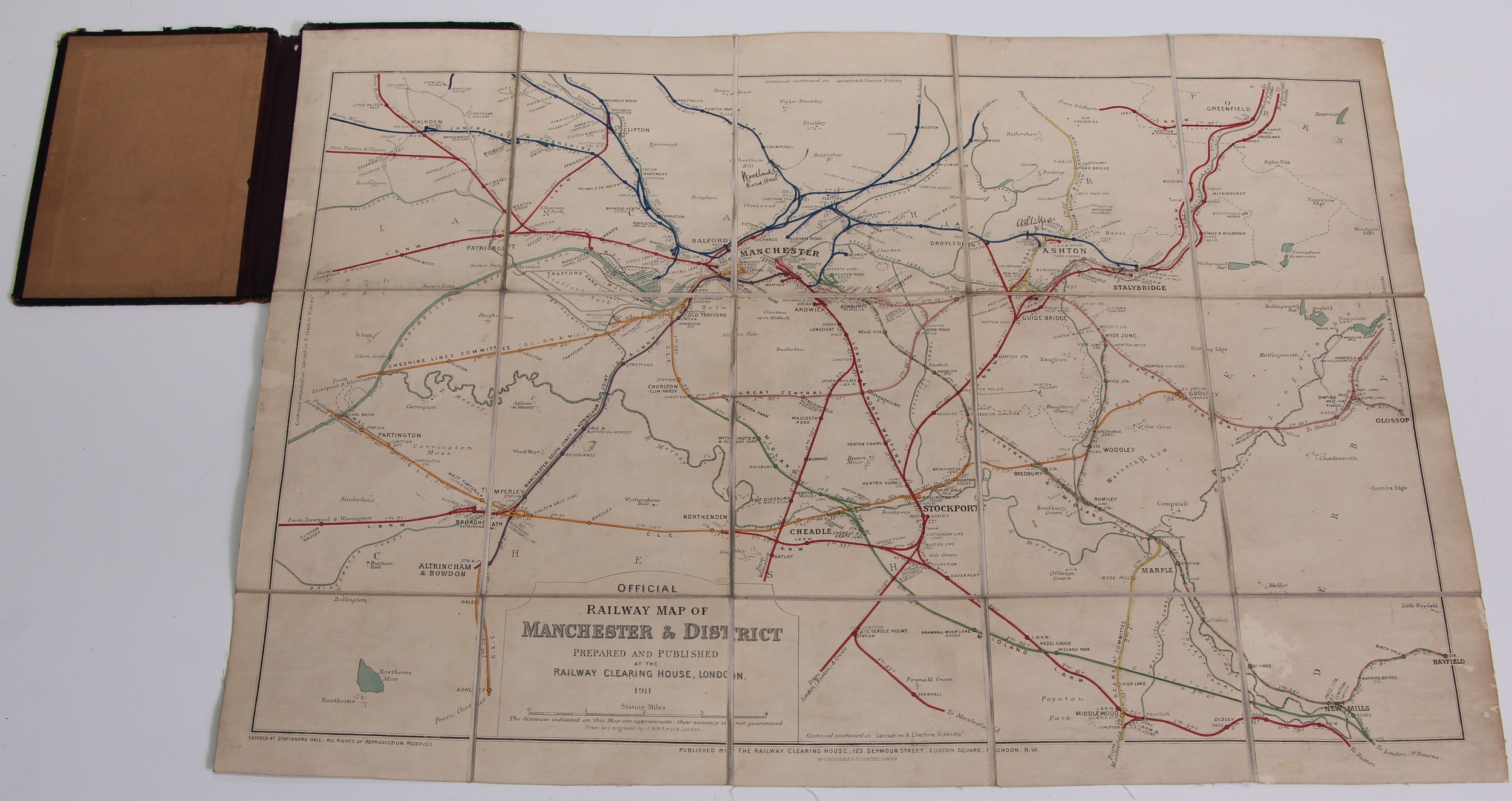
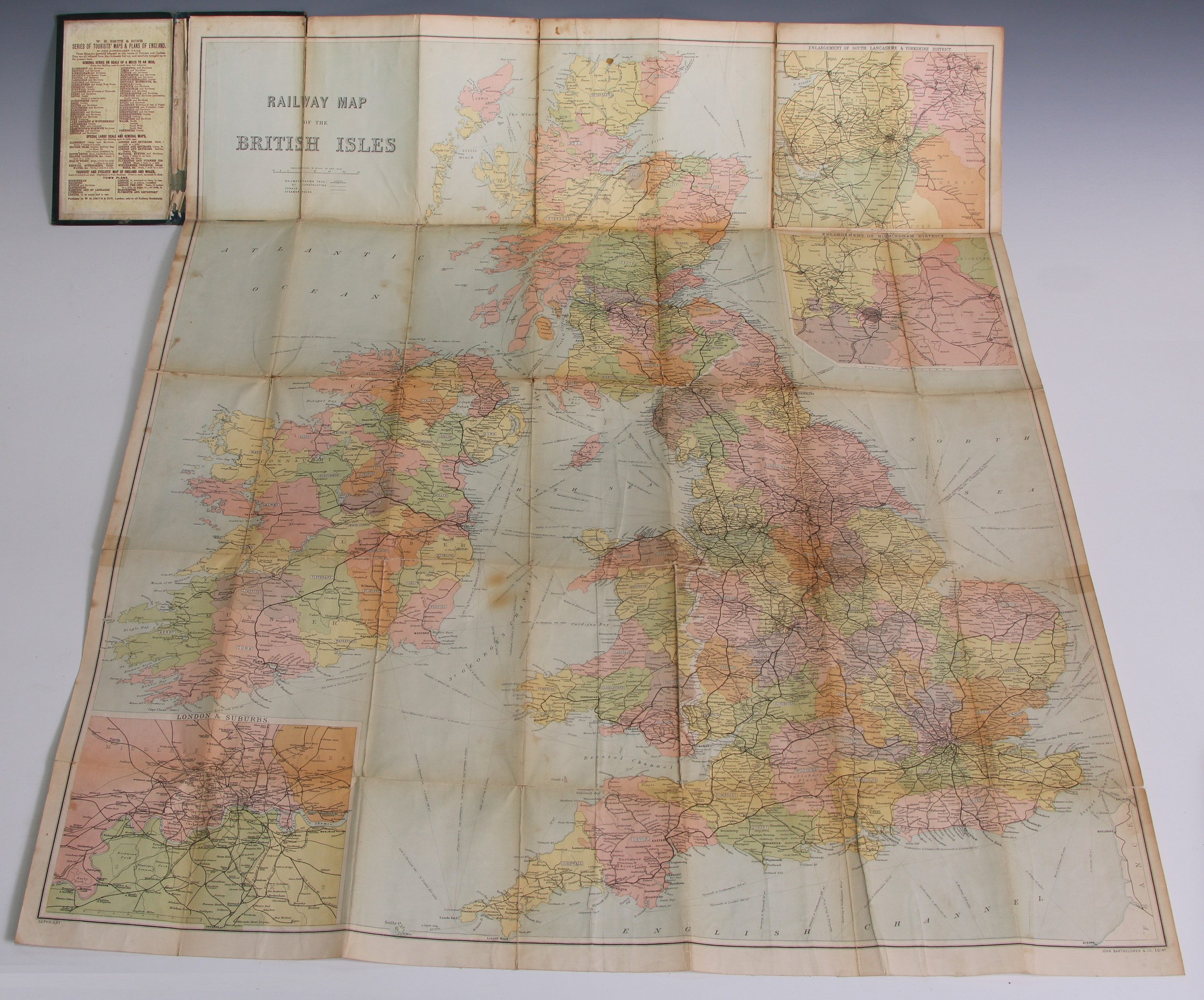
Railwayana: Three pre-grouping railway maps: Railway Clearing house official colour printed railway maps 22 x 151/2in (56 x 39cm) folded between moquette covers 63/8 x 11½ (16.2 x 29.5cm), Manchester and District (1911) and Derby & Nottingham District (1901), also W H Smith, card bound in green folded 213/4 x 333/4in (55.2 x 85.7cm) colour printed railway map of the British Isles, c. 1900 (3)
Fees apply to the hammer price:
Free Registration
33.3% inc VAT*
Flat Fee Registration
29.70% inc VAT*