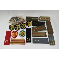
£100 - £150
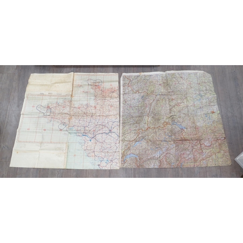
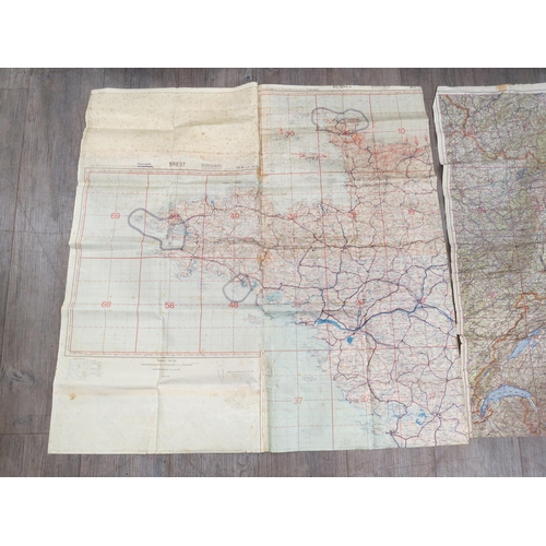
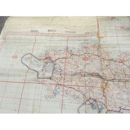
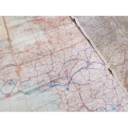
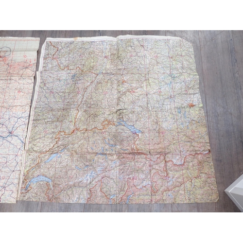
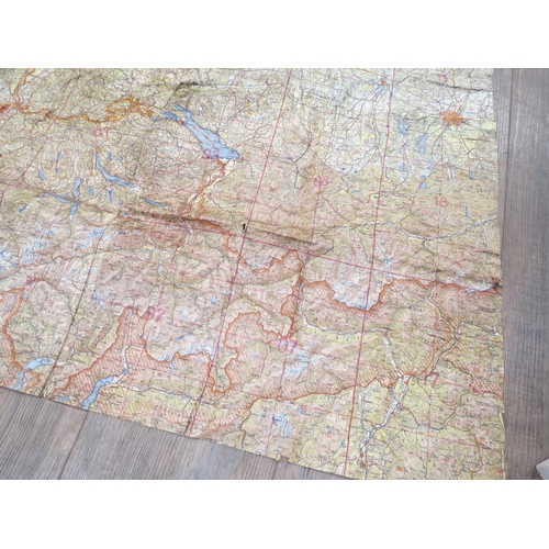
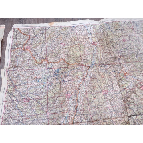
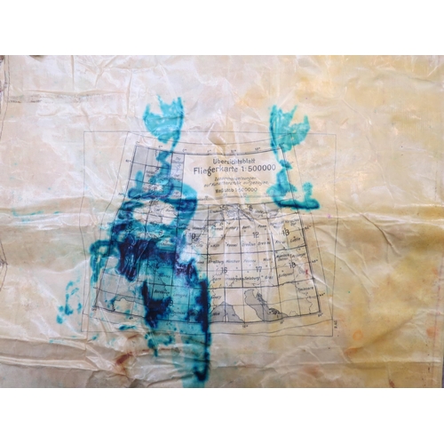
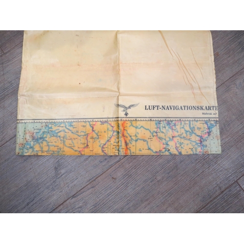
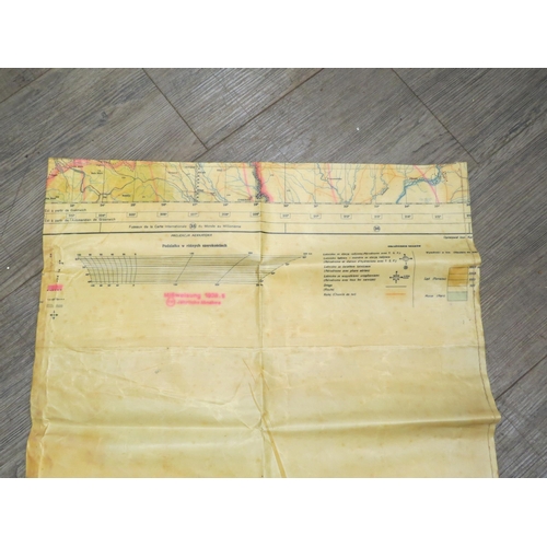
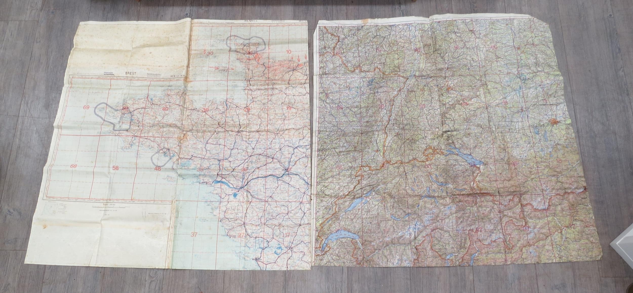
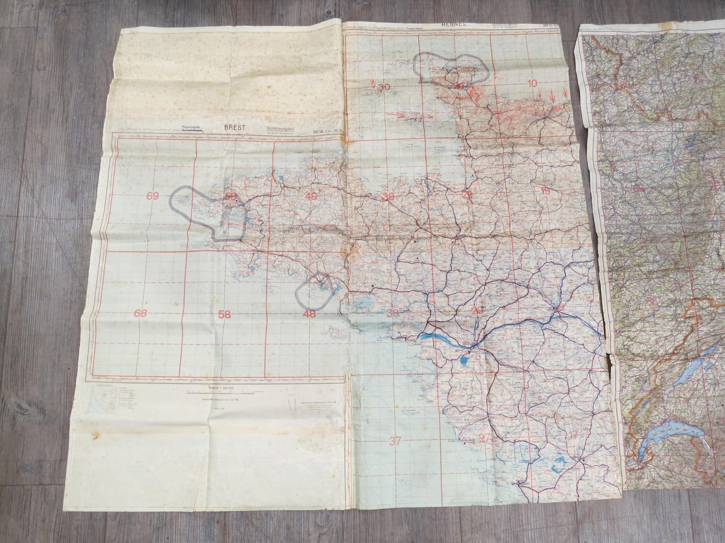
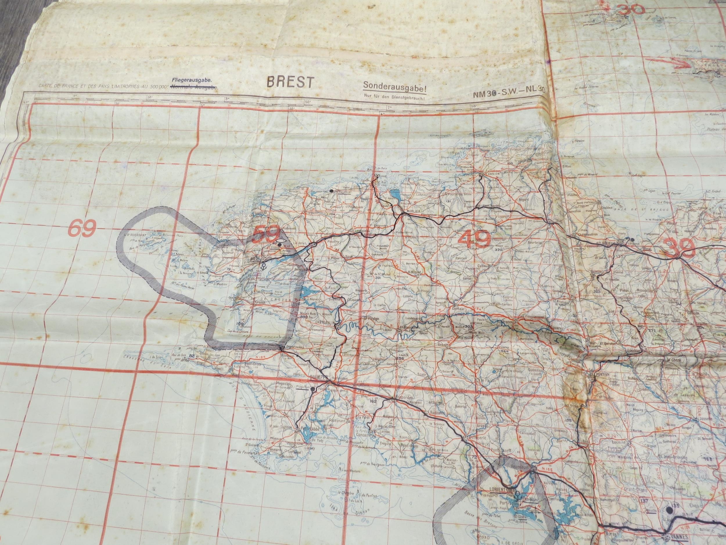
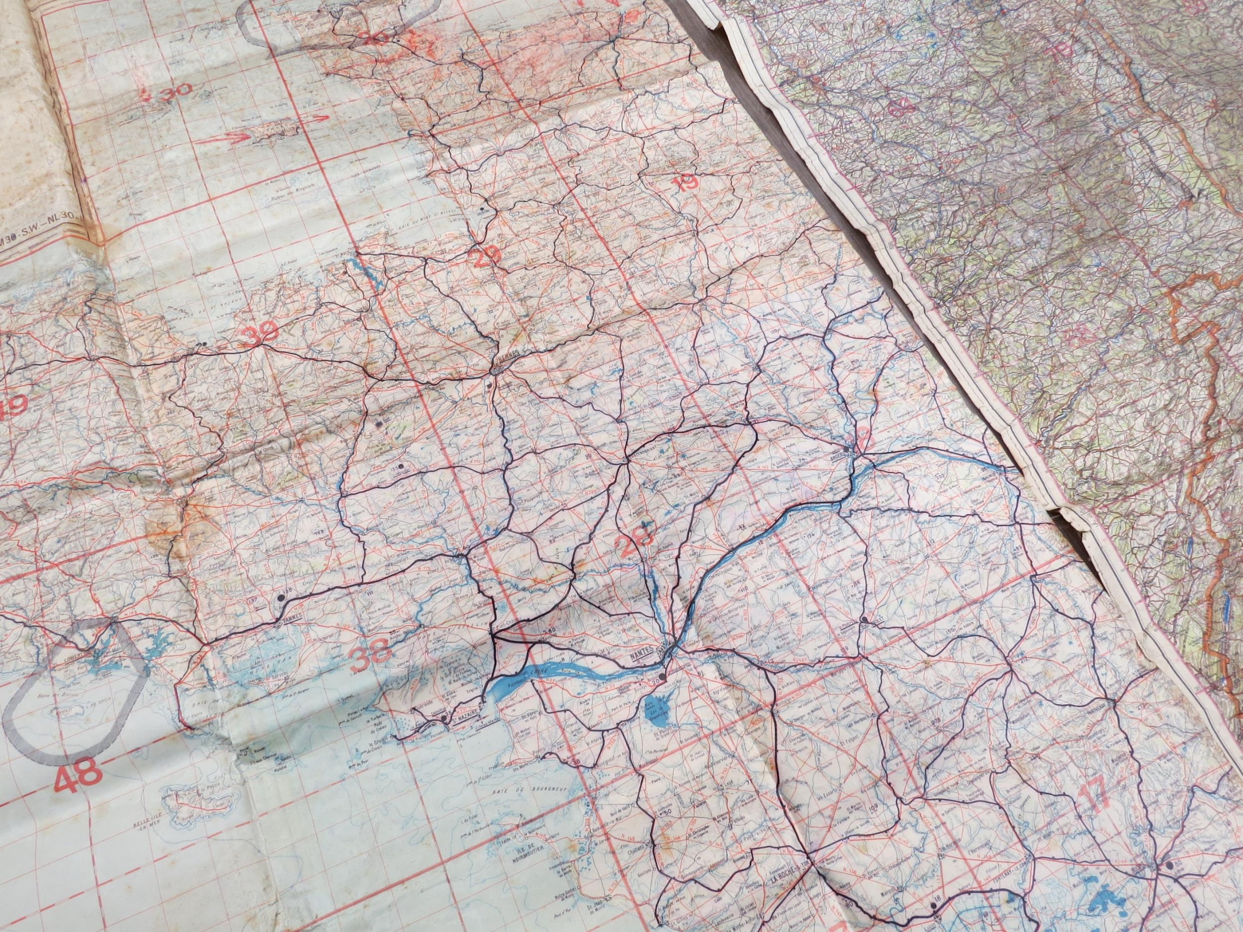
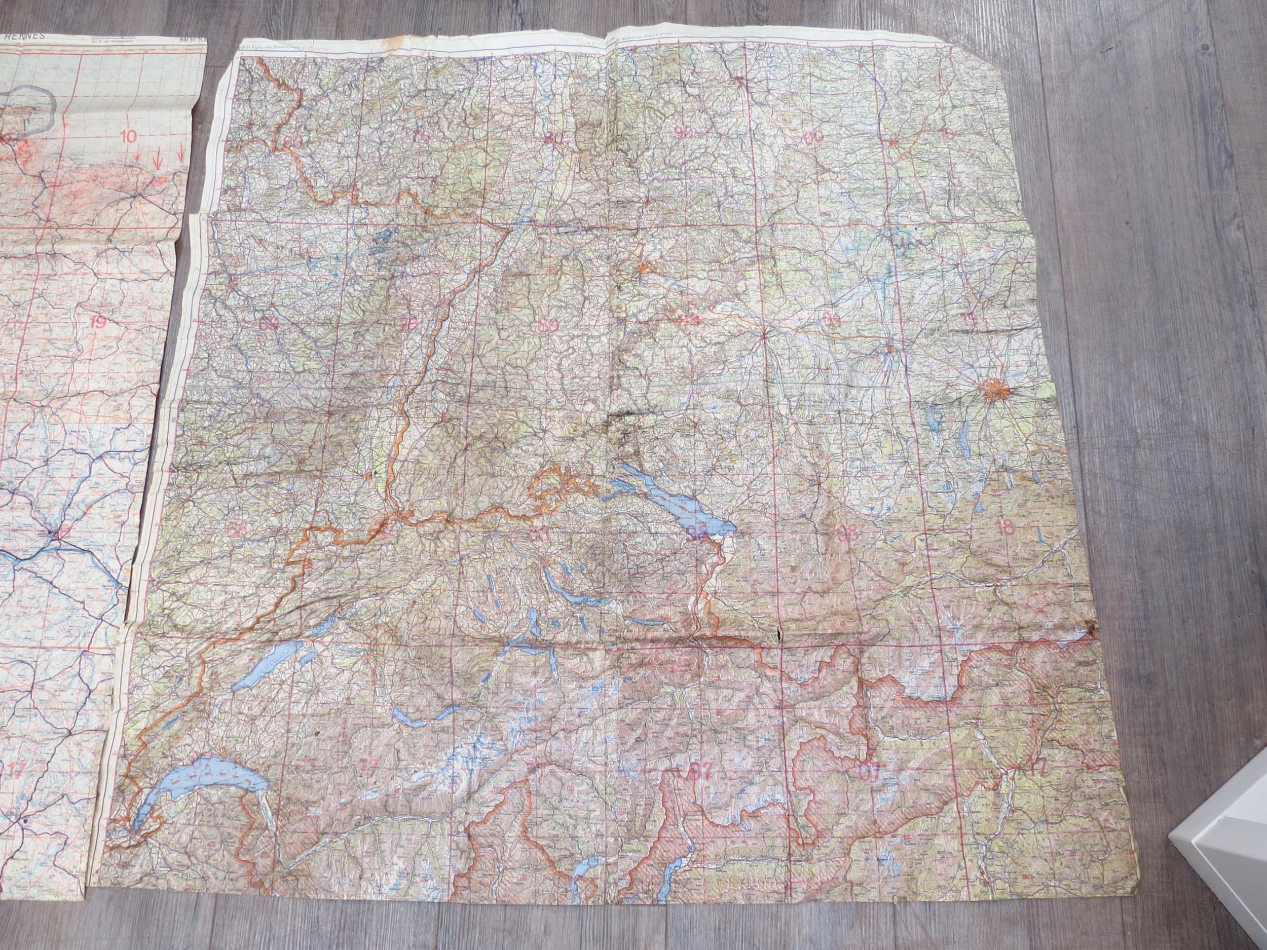
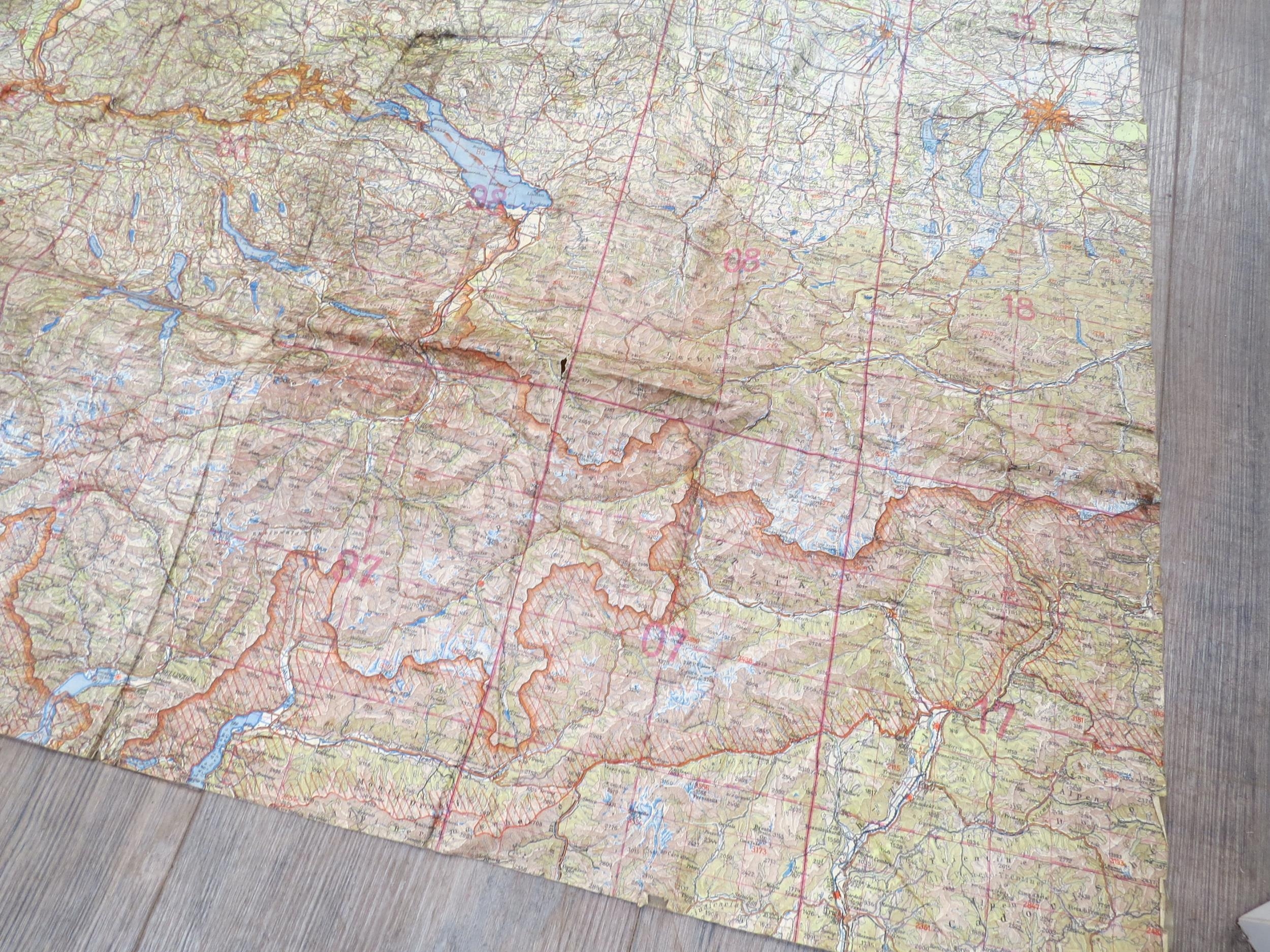
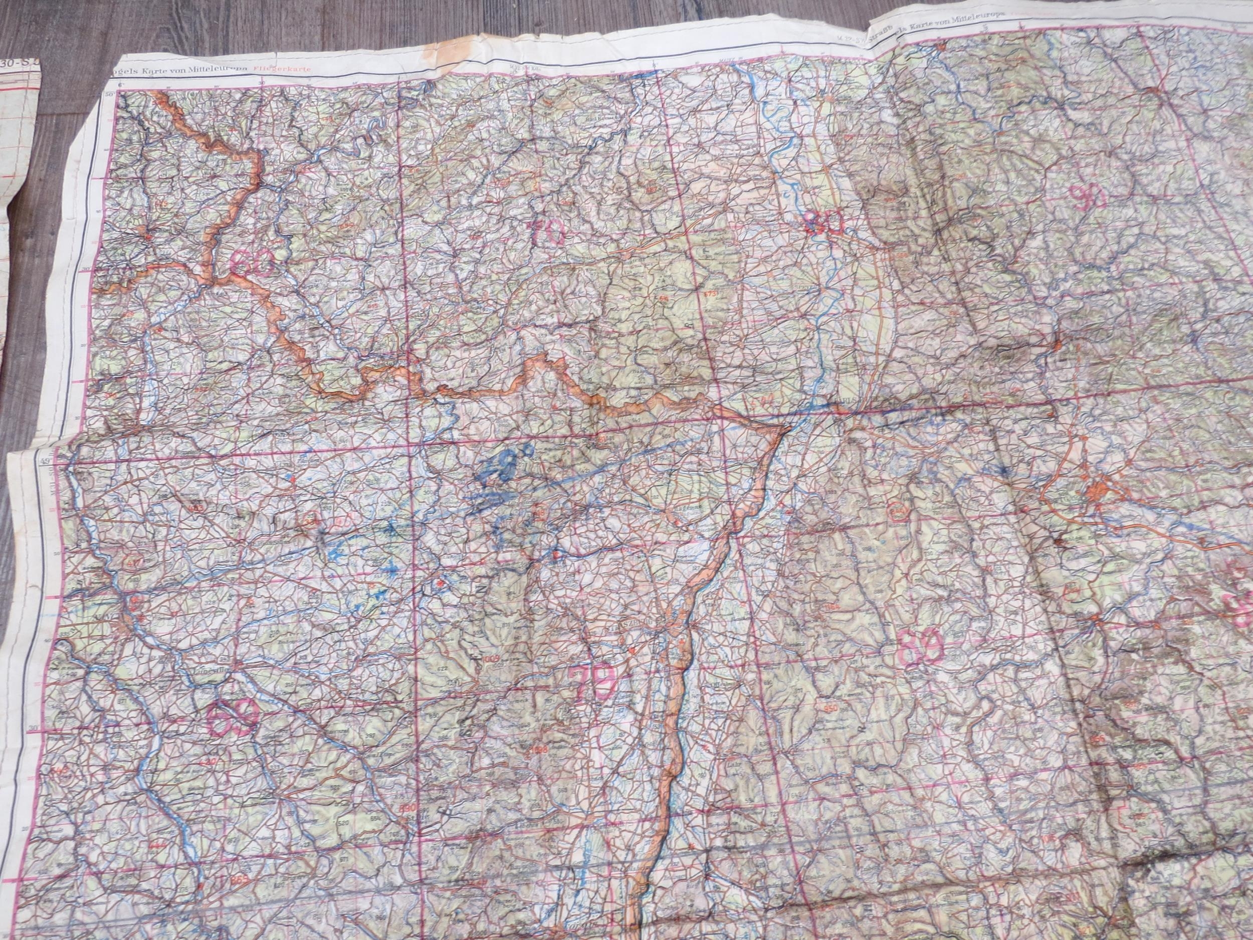
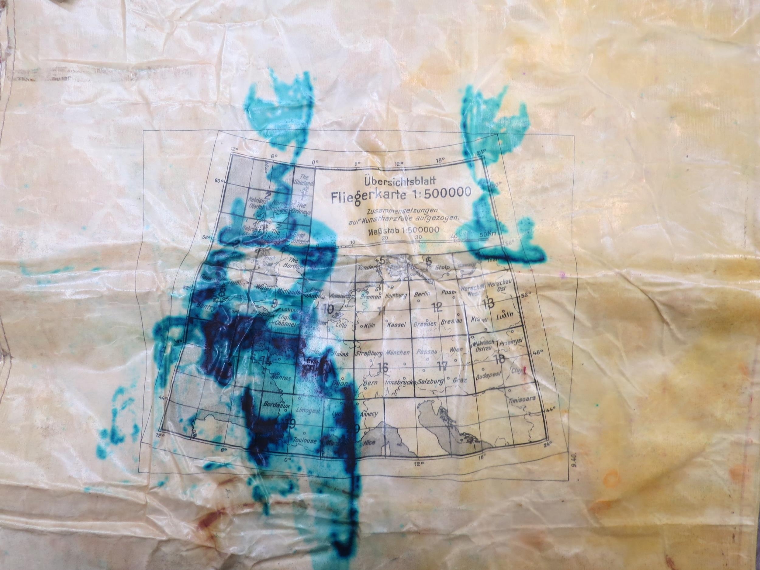
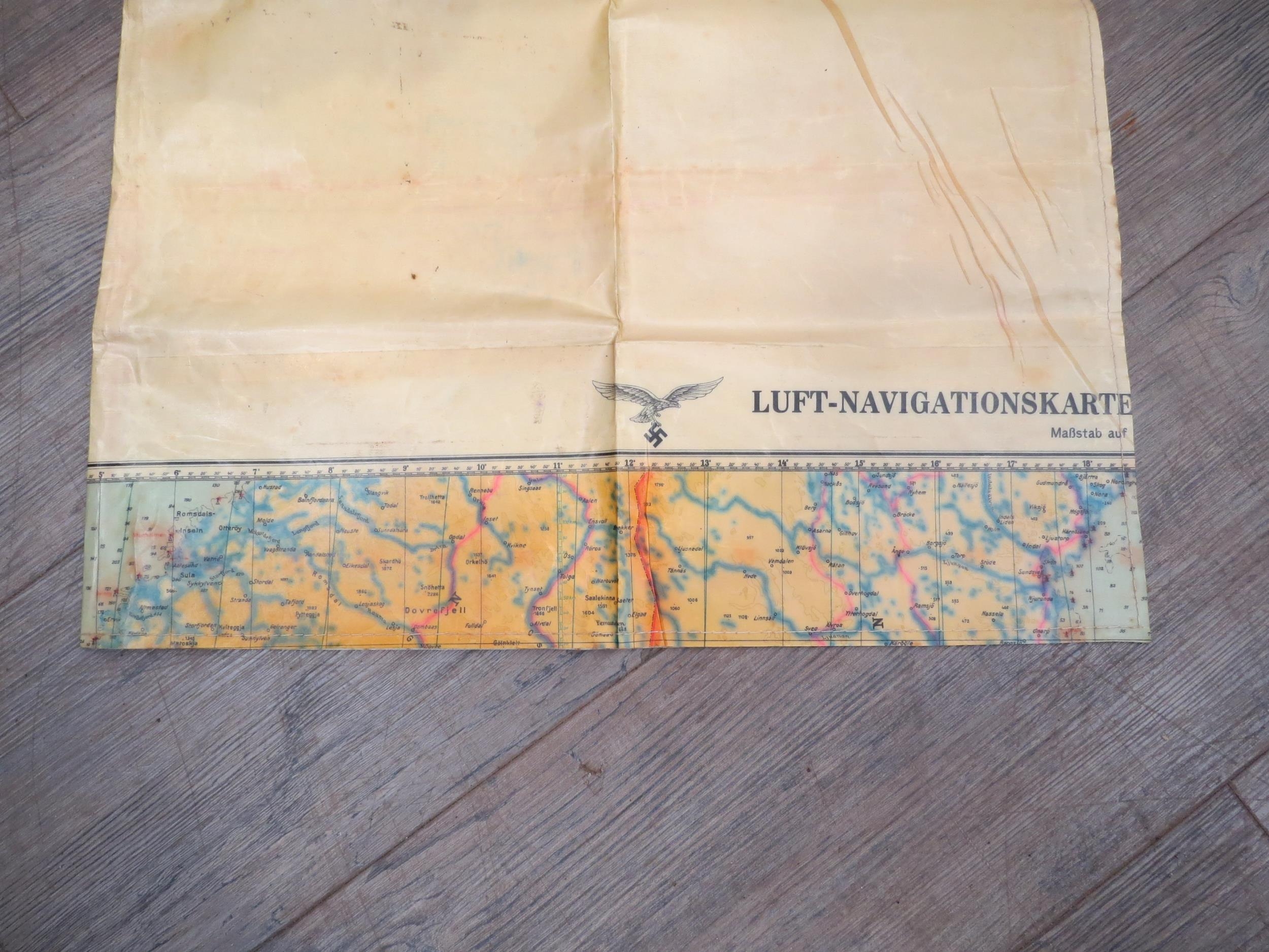
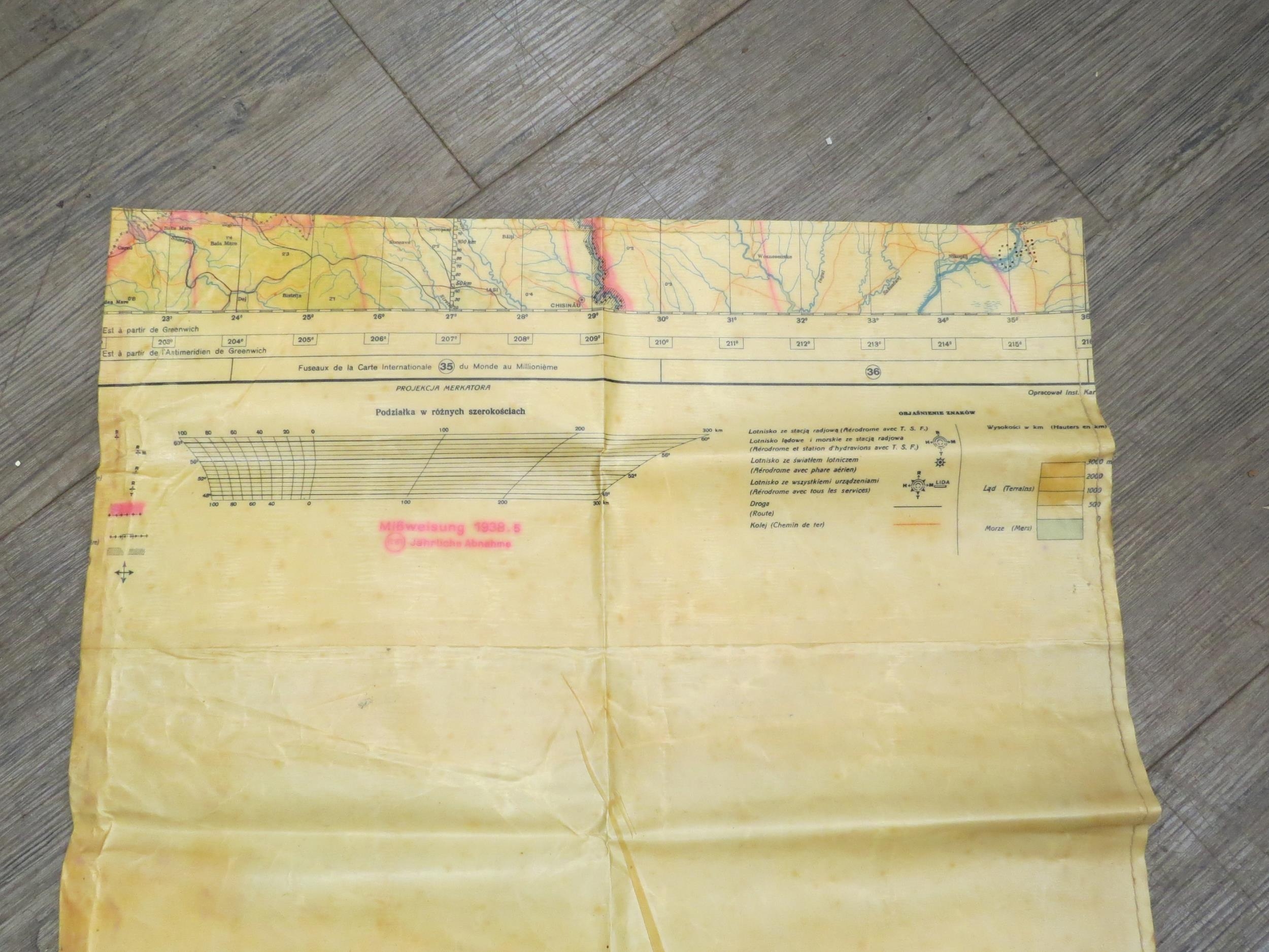
Two Third Reich era German Luftwaffe "LUFT - NAVIGATION SKARTE" maps: Rennes (with markings and arrows) covering D-Day beaches dated 1933 and amended 1935 and 1936, together with another of Mittel Europa (Central Europe) with markings and potential flight paths
Fees apply to the hammer price:
Free Registration
30% inc VAT*
Flat Fee Registration
26.40% inc VAT*