
£25
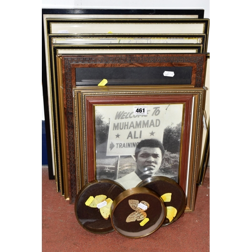
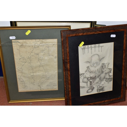
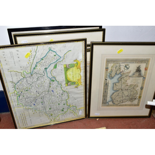
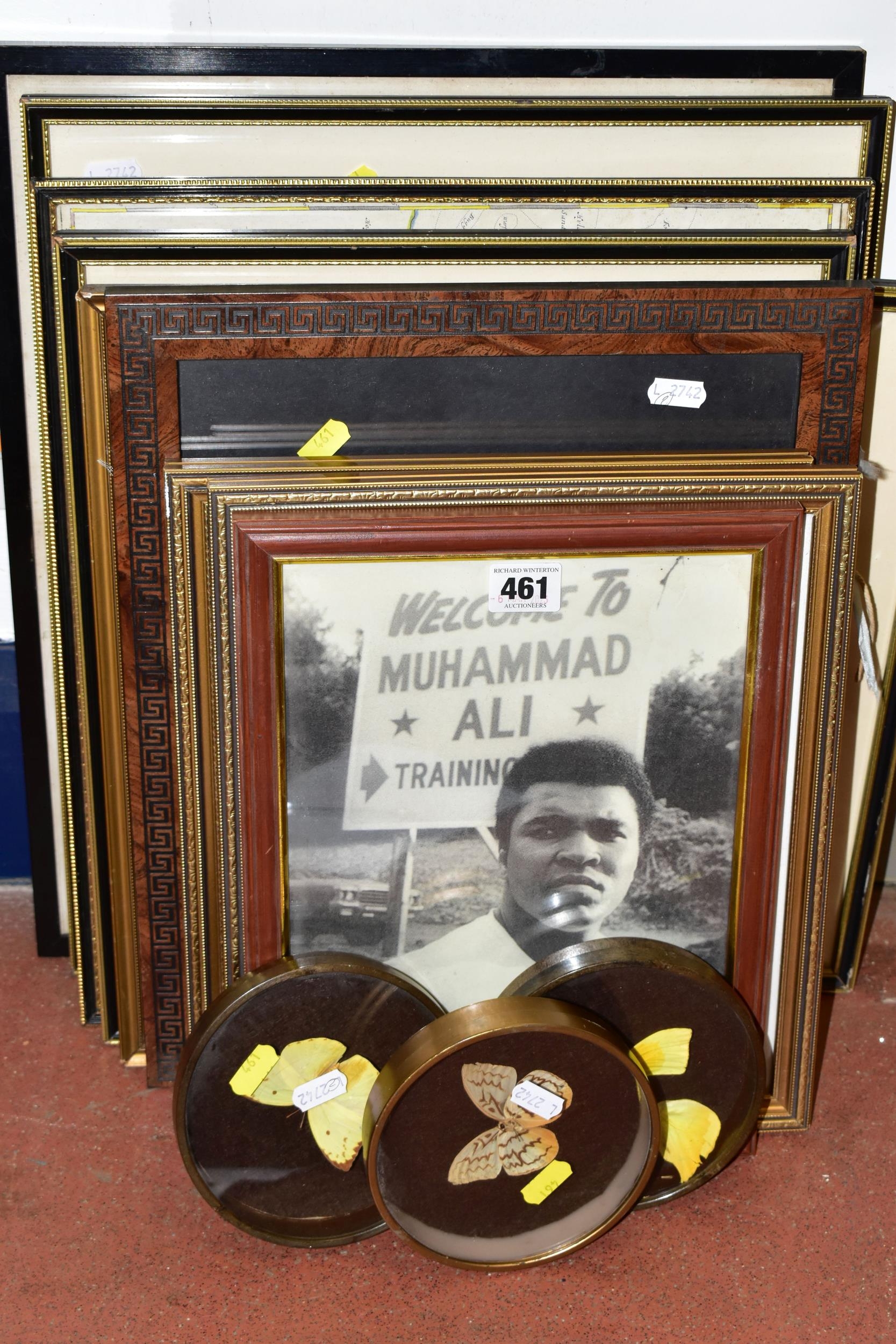
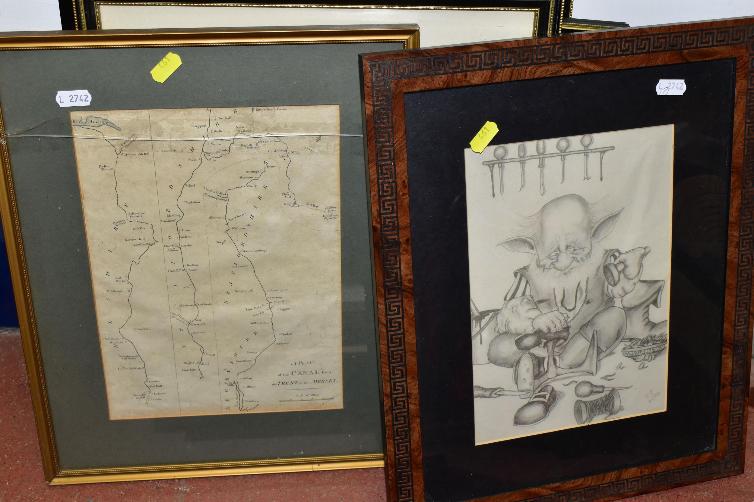
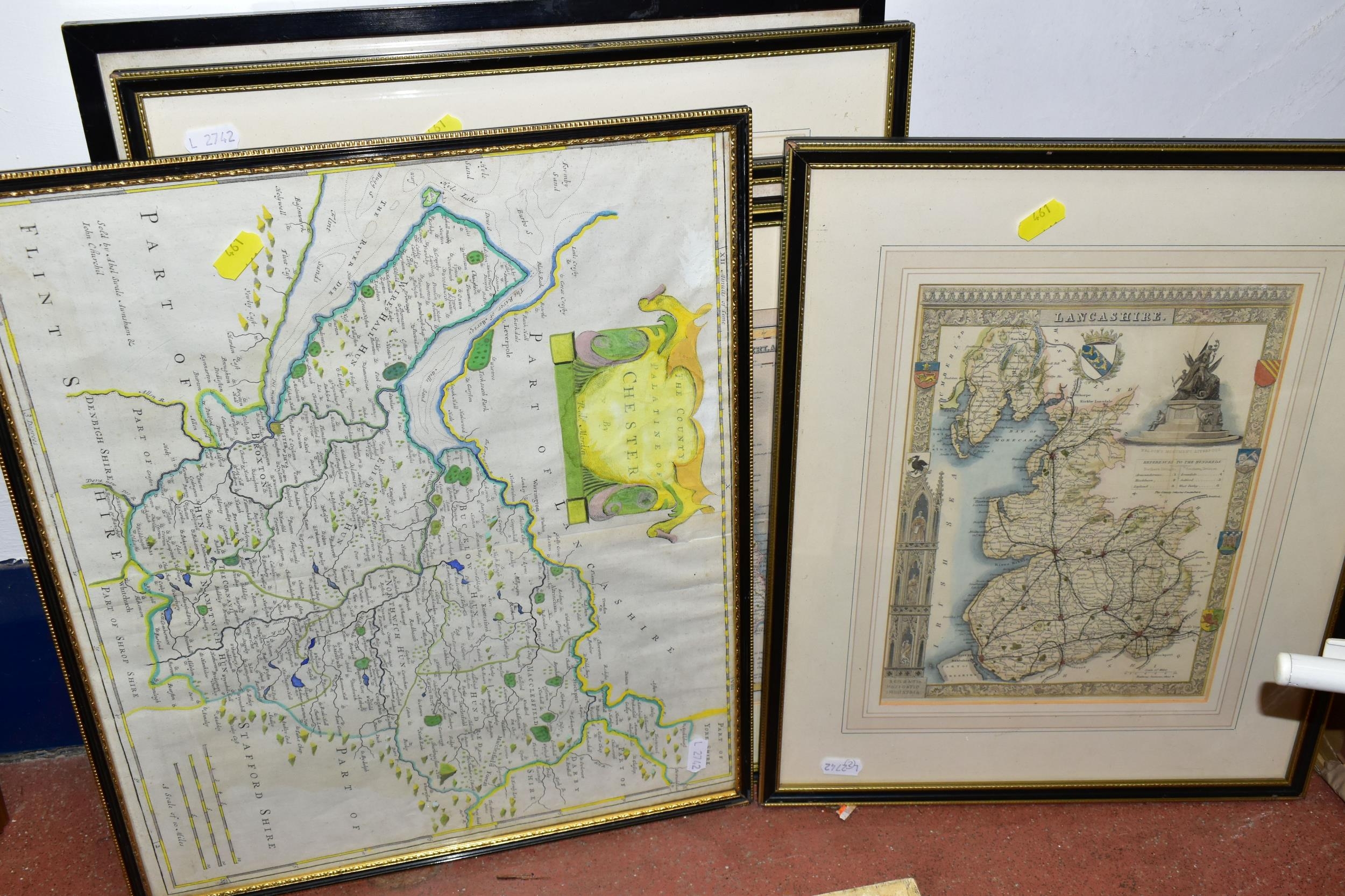
A SMALL QUANTITY OF MAPS AND PRINTS ETC, to comprising a 'Plan of the canal from the Trent to the Mersey' published 1795, approximate size 28cm x 20cm, reproduction Robert Mordon maps 'Cumberland' and Chester', map of Lancashire by Thomas Moule circa 1850, maps of Westmoreland and Cumberland for Lewis' topographical dictionary and Northumberland published by Archibald Fullarton and Co, three assorted prints and three butterfly/moth specimens in display cases
Fees apply to the hammer price:
Free Registration
30% inc VAT*
Flat Fee Registration
26.40% inc VAT*