

£25
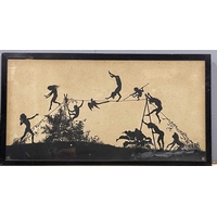
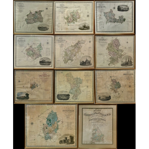
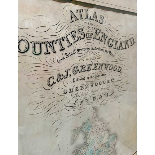
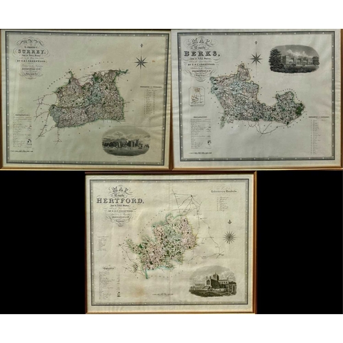
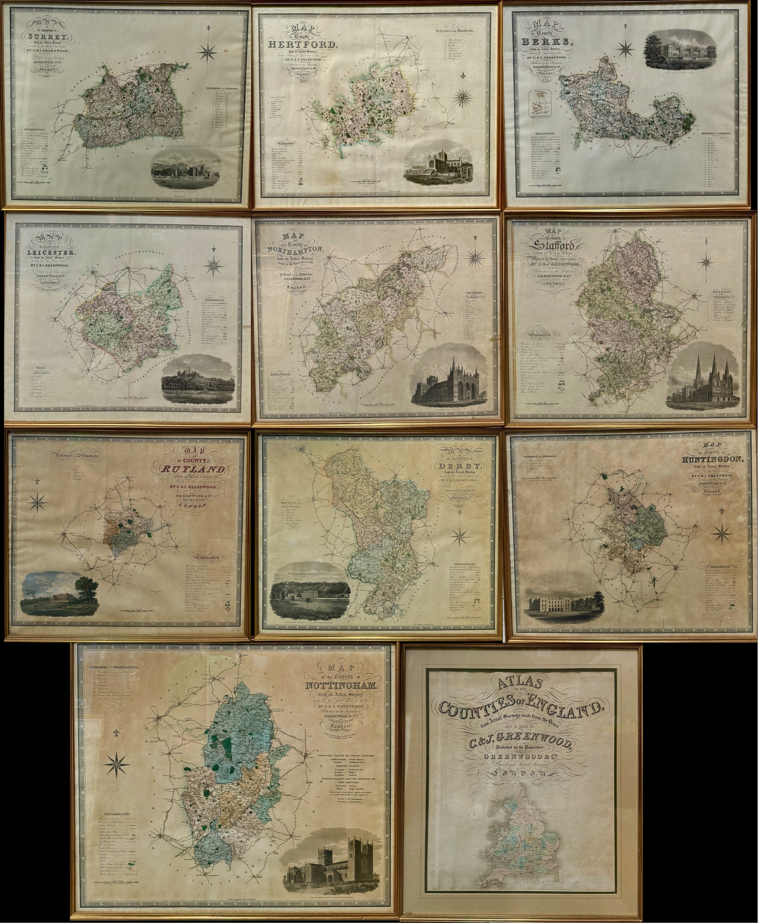
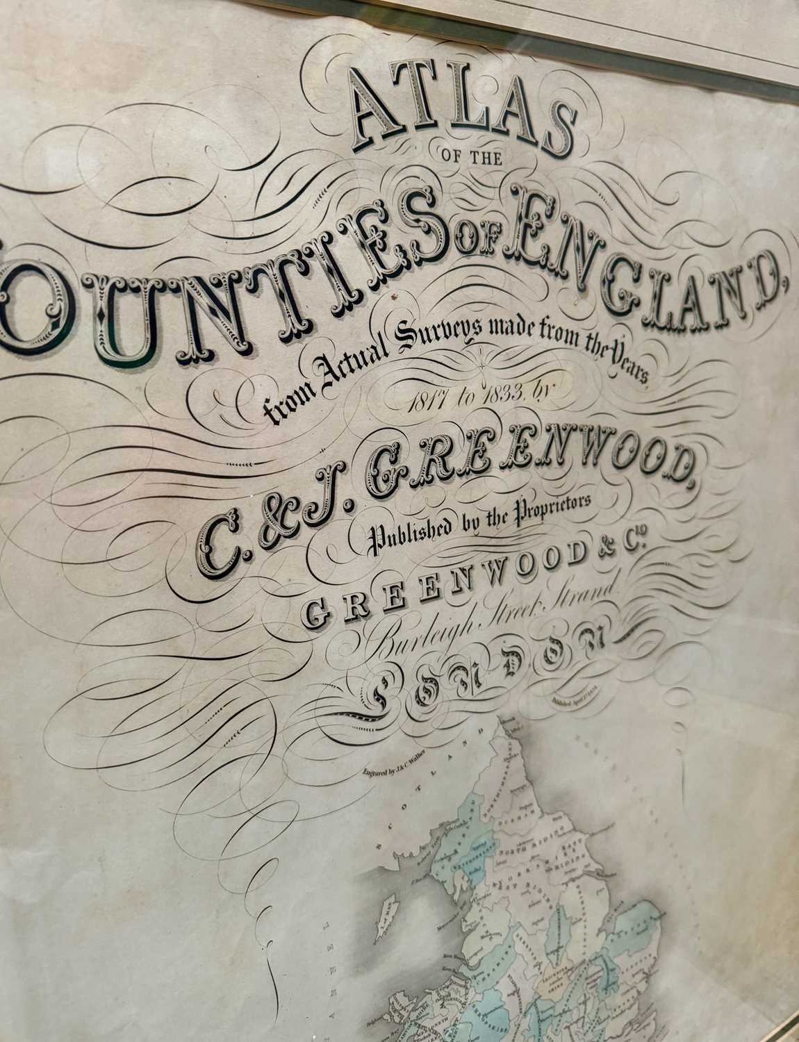
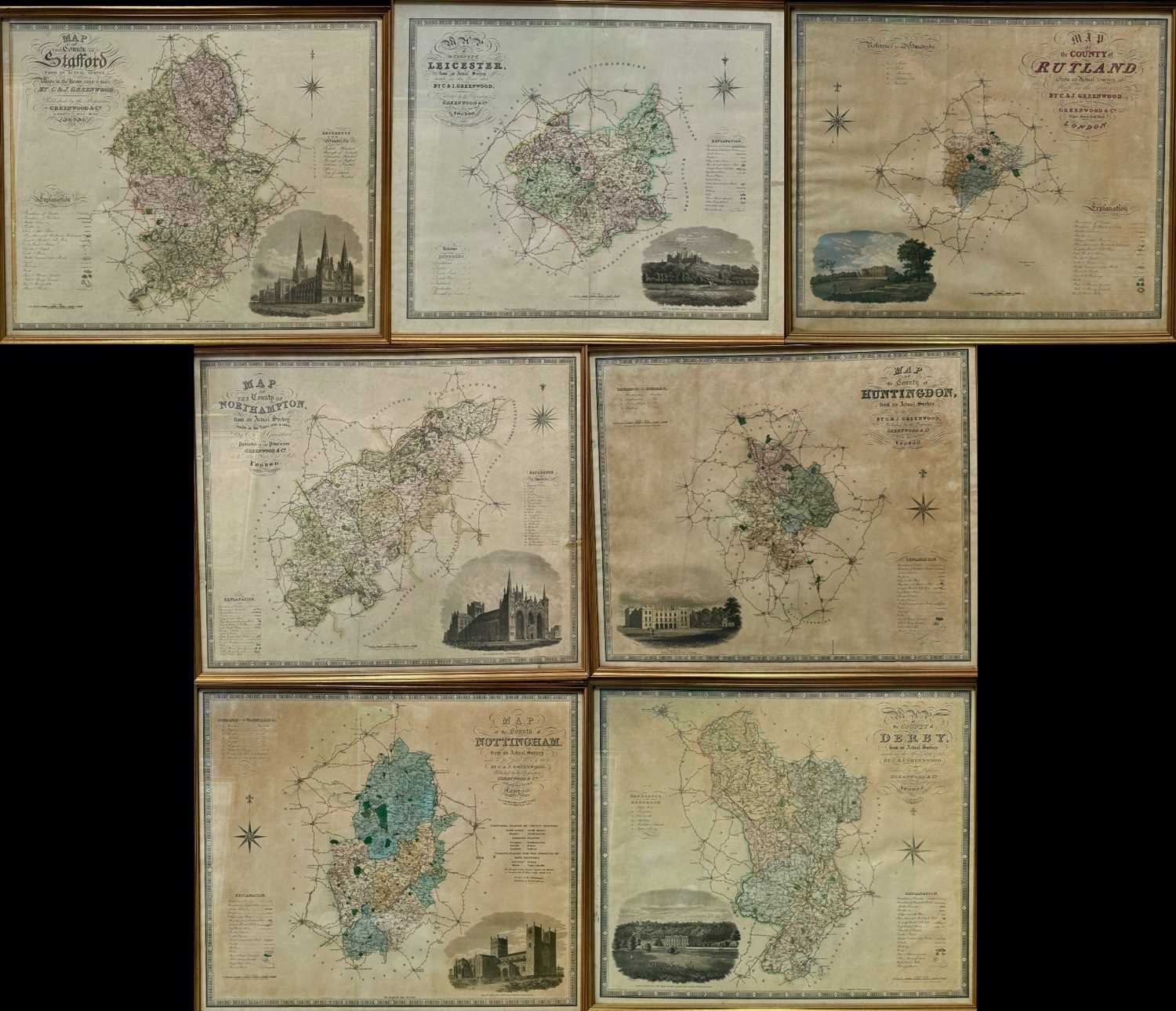
Cartography: A collection of map plates including the title page from C. & J. Greenwood. 'Atlas of the Counties of England, from Actual Surveys Made from the Years 1817 to 1833', published by Greenwood & Co, London, 1834, 53 by 63cm, framed with plates of the Midland counties: Nottingham, Leicester, Derby, Rutland, Stafford, Northampton, Huntington, plates of the home counties: Berks (Berkshire), Surrey, Hertford (Hertfordshire), featuring landscape engravings of significant county sites, 'Reference to the Hundreds' and a map legend, framed (11)
Fees apply to the hammer price:
Free Registration
33.6% inc VAT*
Flat Fee Registration
30.00% inc VAT*