

£150 - £200
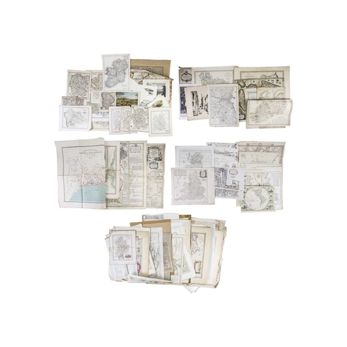
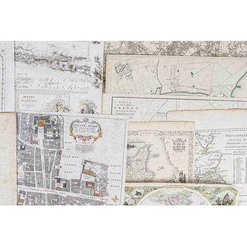
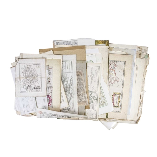
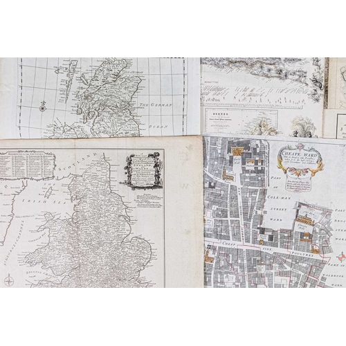
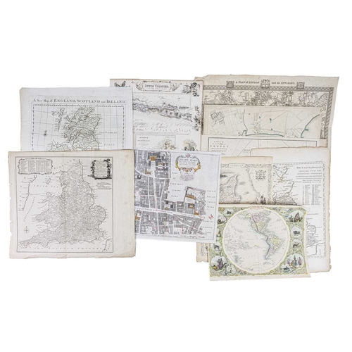
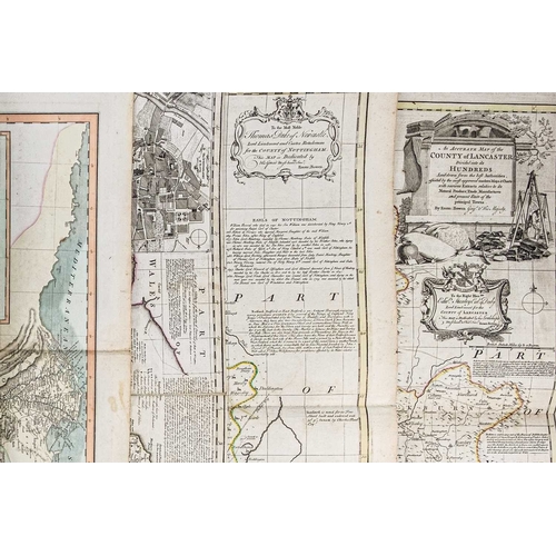
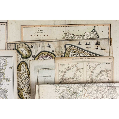
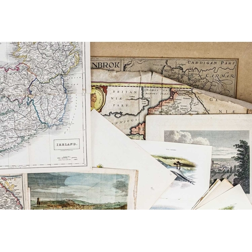
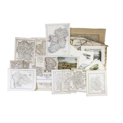
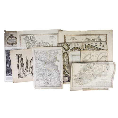
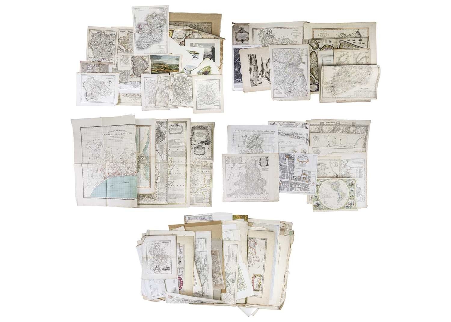
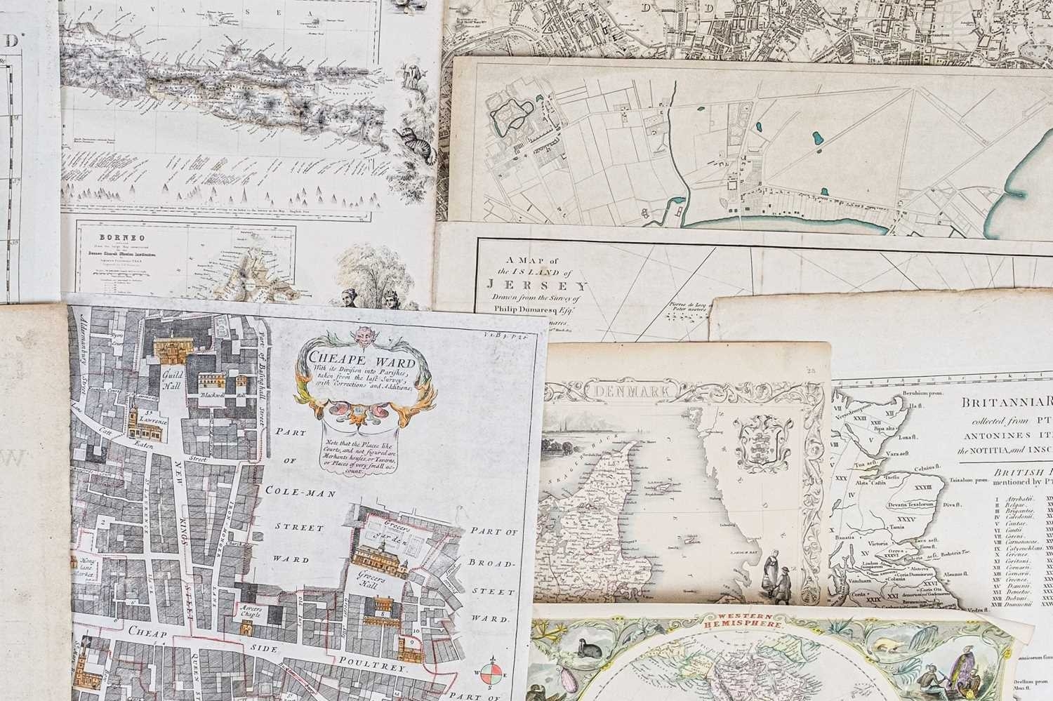
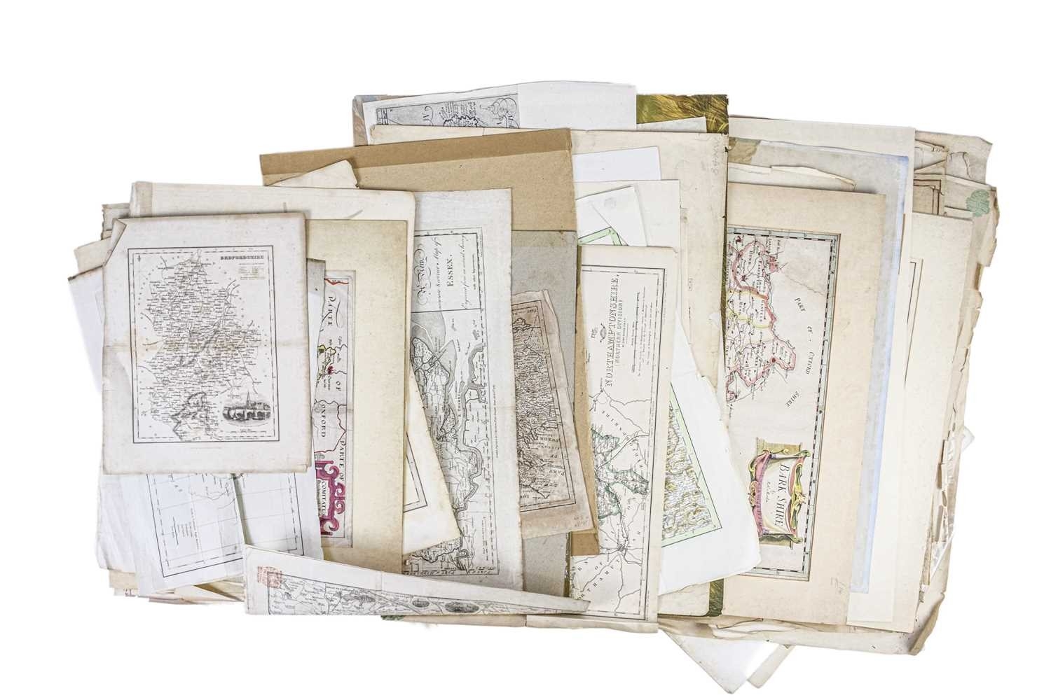
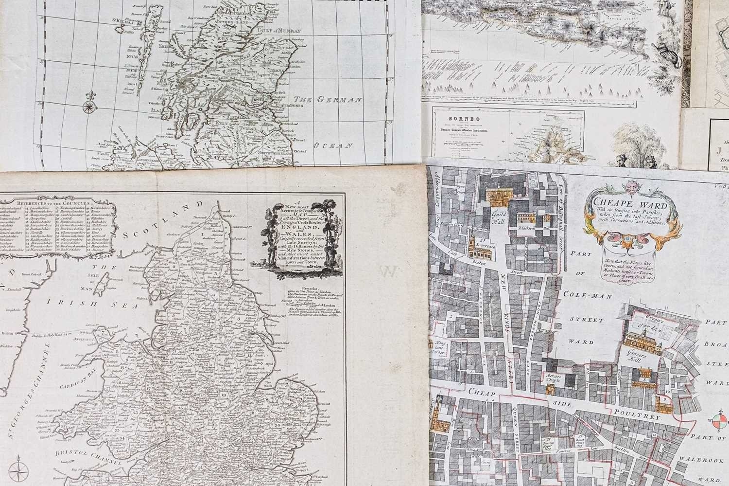
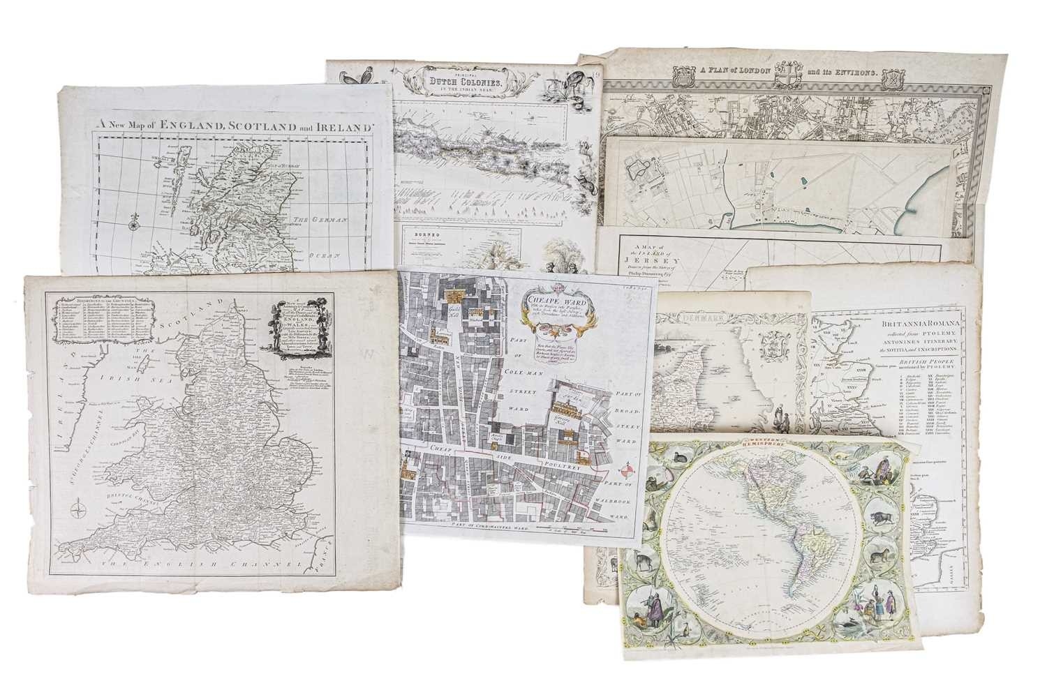
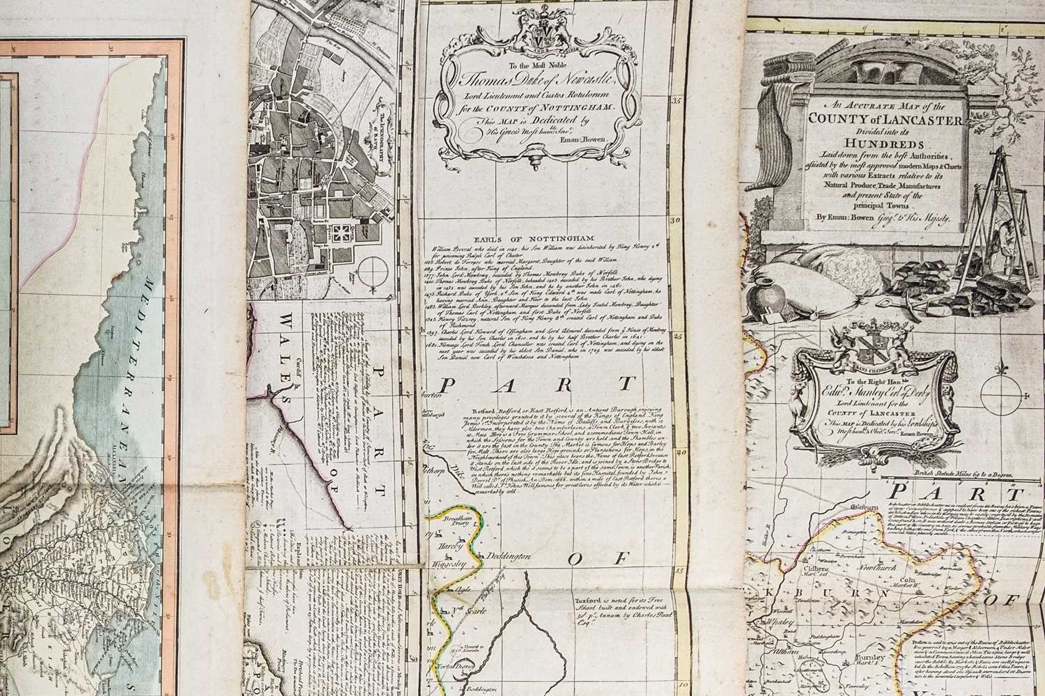
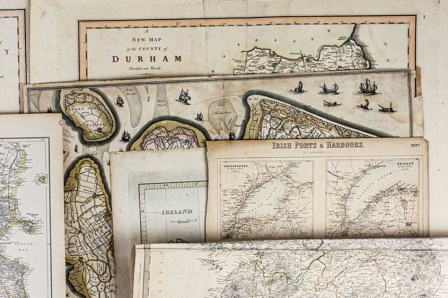
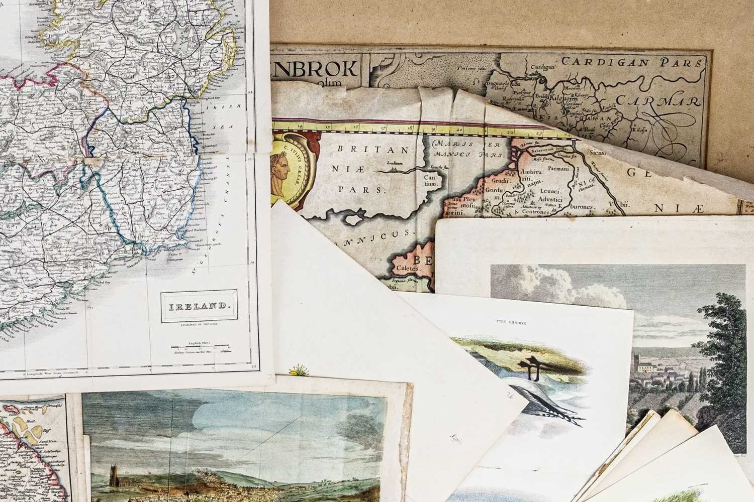
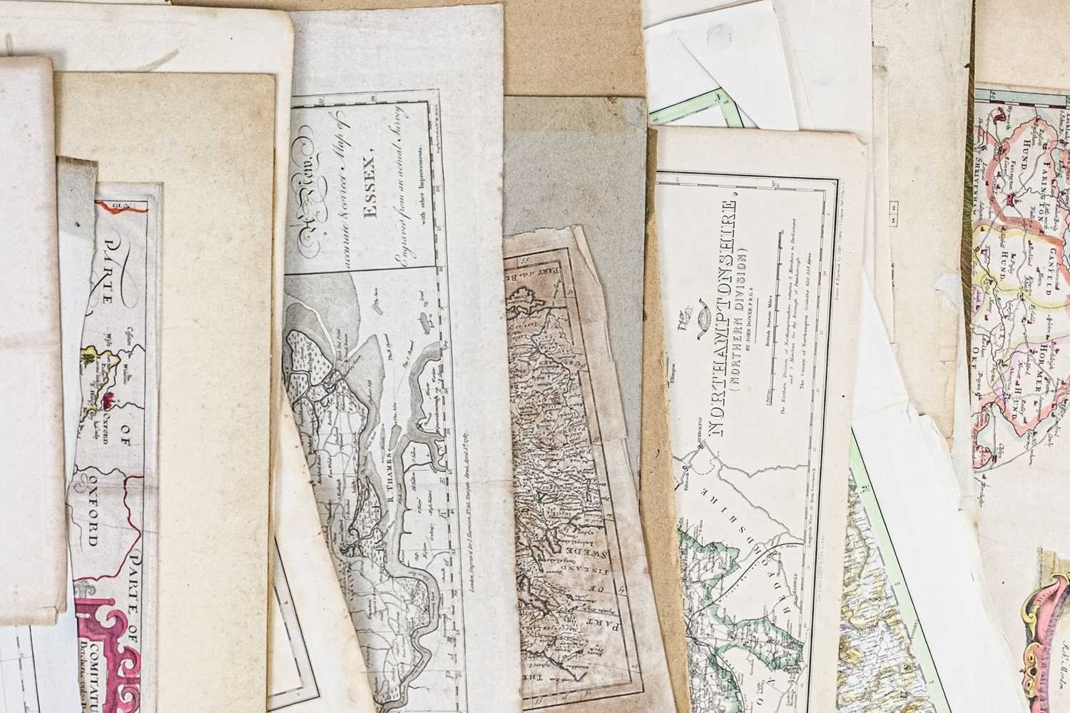
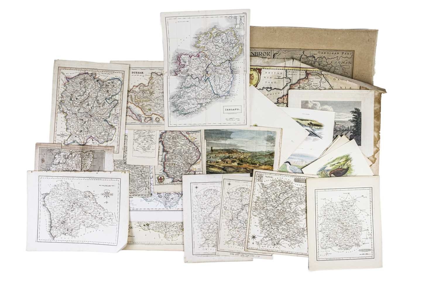
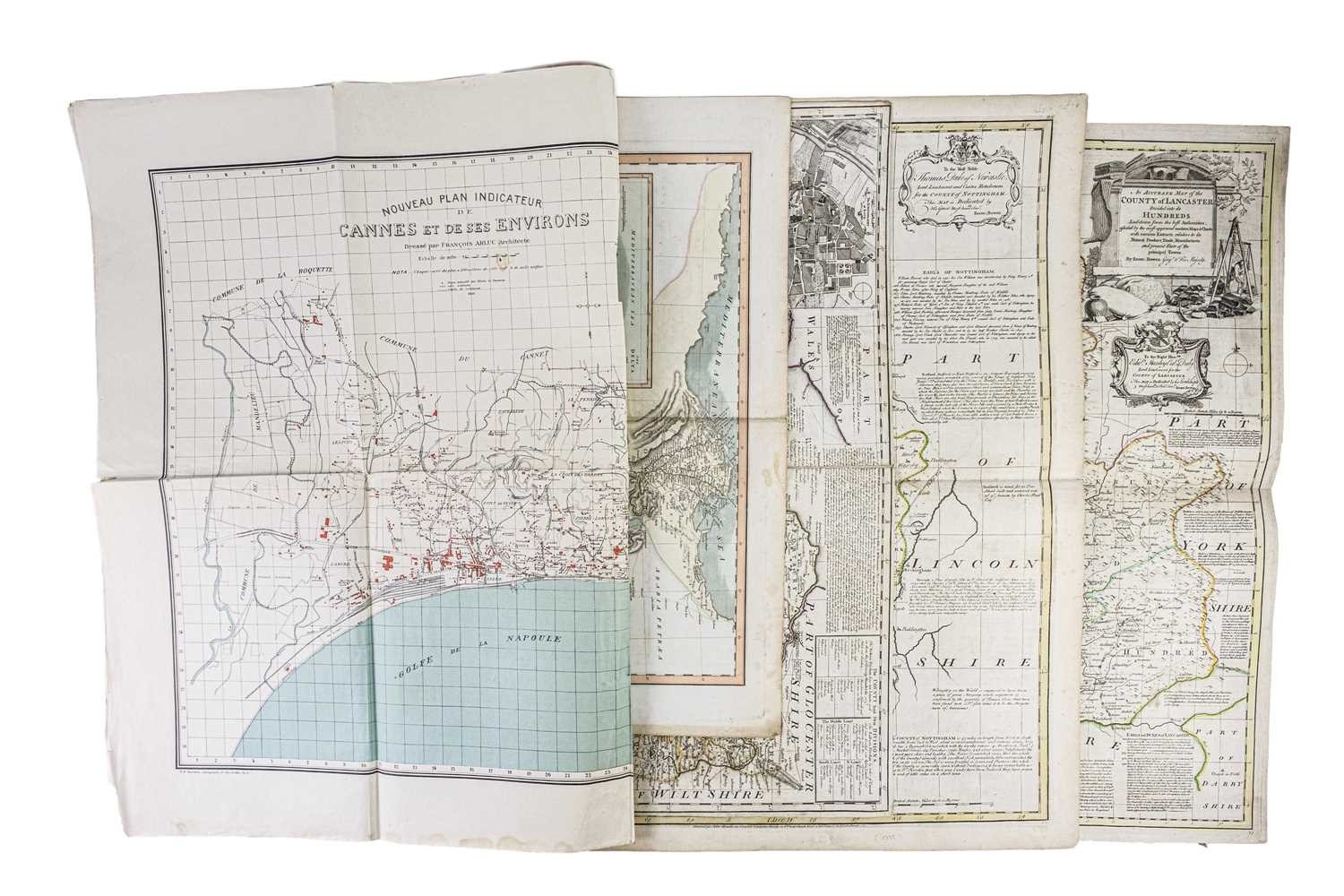
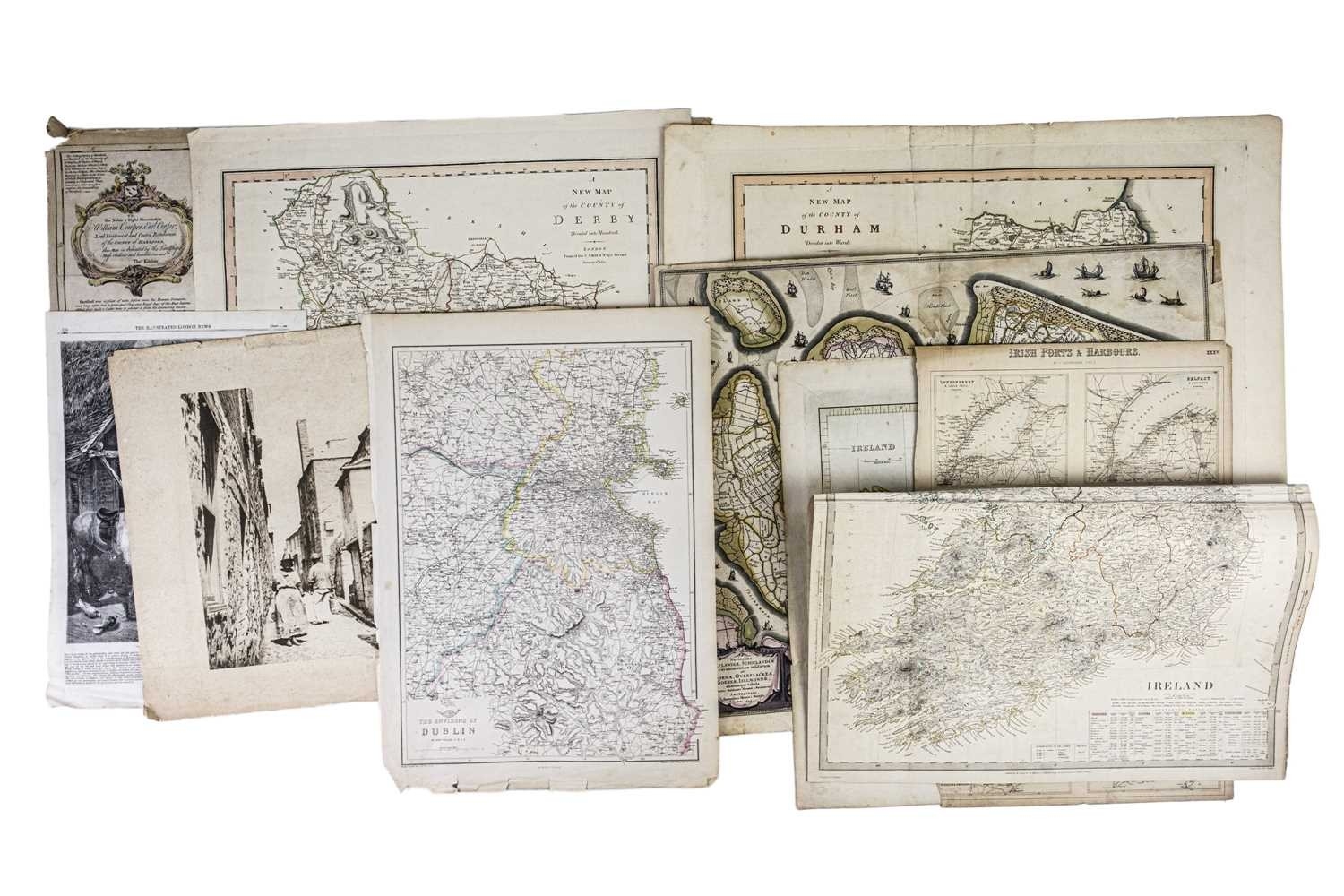
A Large collection of maps Francois Arluc. 'Nouveau plan indicateur de Cannes et de ses environs,' colour map, folded, a couple of watermarks otherwise vg, 75cm x 110.5cm, P. H. Barrer, Paris 1932/33; G. H. Swanston after Augustus Petermann. 'Principal Dutch Colonies in the Indian Seas,' single leaf, charming vignette engravings, staining to edges, vg, A. Fullerton and Co, London and Edinburgh, [c.1872]; John Tallis. 'Western Hemisphere,' single leaf, colour engraving with extra vignette engravings to border by J. Rogers after H. Warren, The London Printing and Publishing Company, [c.1851]; With another uncoloured, depicting Denmark; John Cary. 'Britannia Romana collected from Ptolemy, Antonnies Itinerary, the Notitia, and Inscriptions,' single leafe, uncoloured, 1789; 'A Map of the Island of Jersey Drawn from Survey of Philip Dumaresq,' single leaf, uncoloured, 1789; J. Henshall after W. B. Clarke. 'Copenhagen (Kiobenhaven),' steel engraved map, panorama to foot, Baldwin & Cradock, London, 1837; With a large collection of maps, mostly from breakers in varying conditions, far too many to list, but including Emanuel Bowen, John Cary, C. Smith, &c. &c. (Q)
Fees apply to the hammer price:
Free Registration
28.8% inc VAT*
Flat Fee Registration
25.20% inc VAT*