£100 - £200
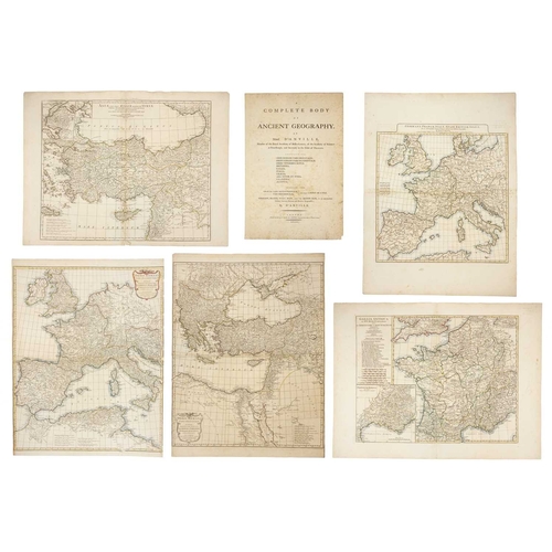
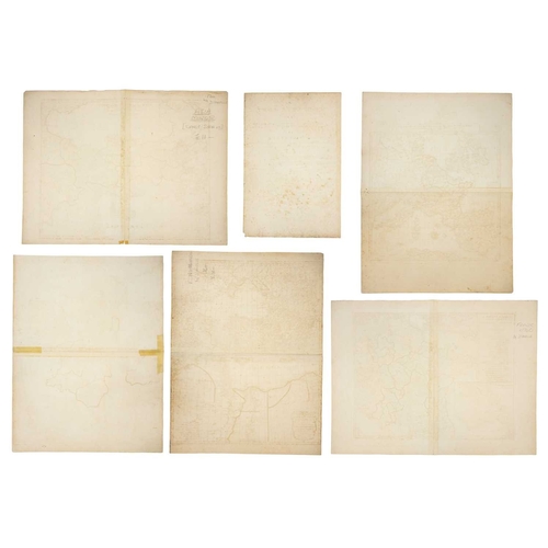
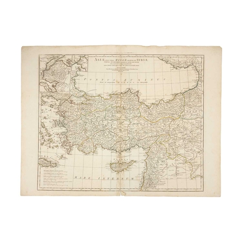
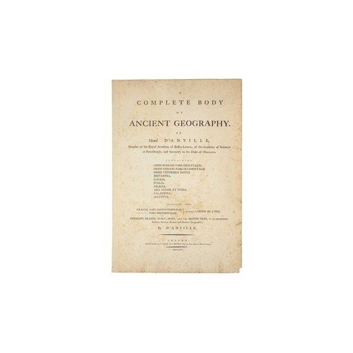
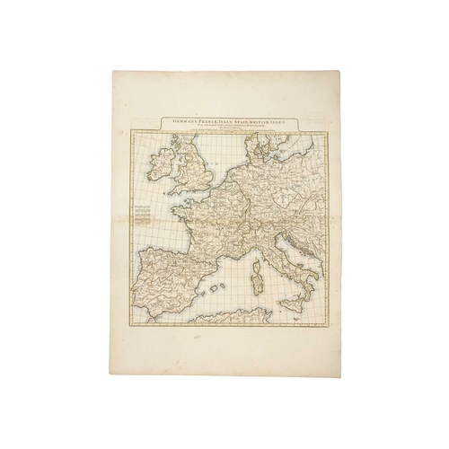
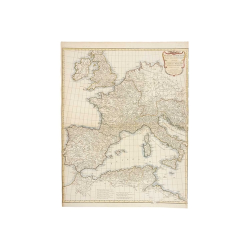
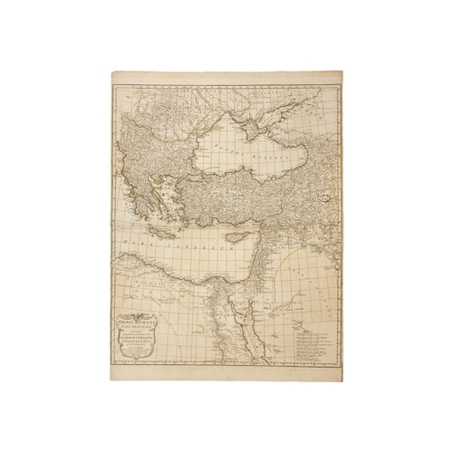
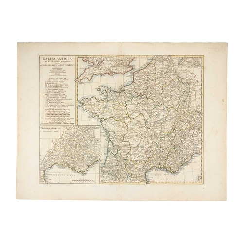
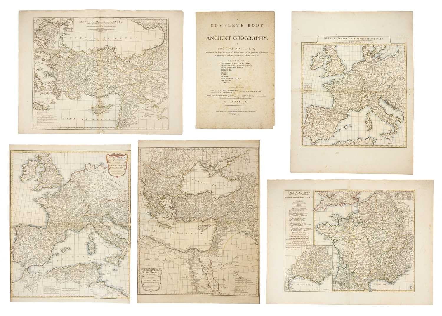
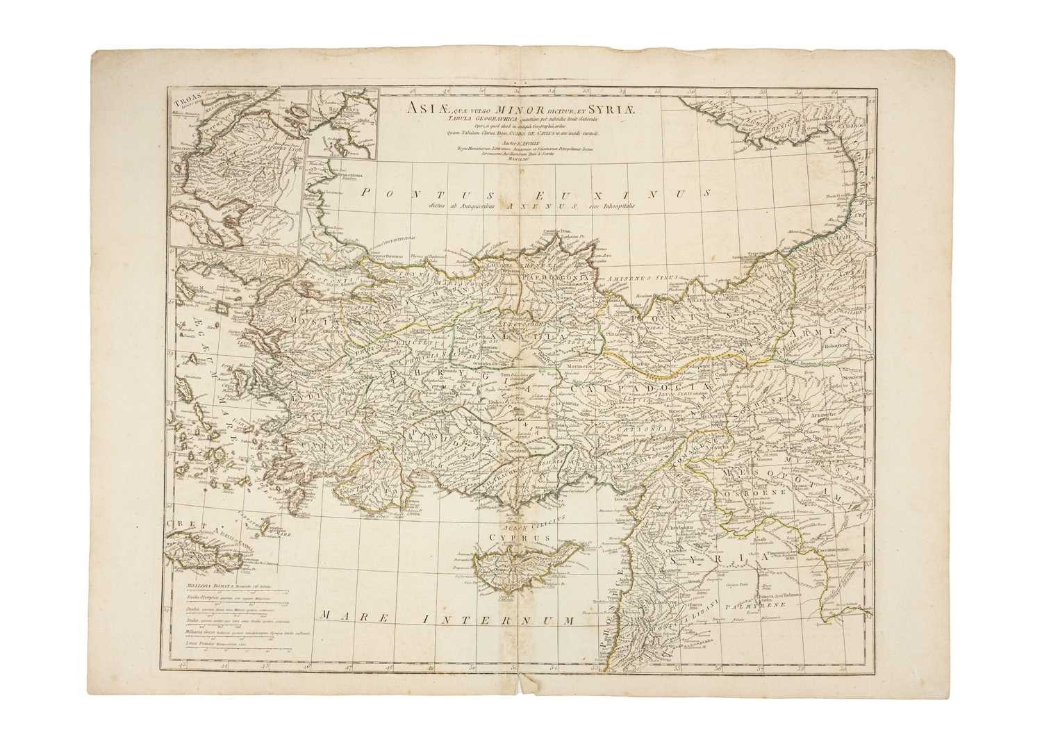
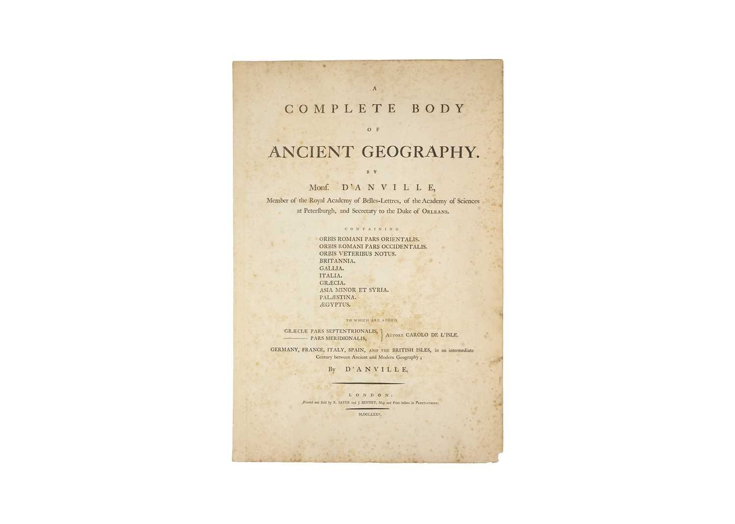
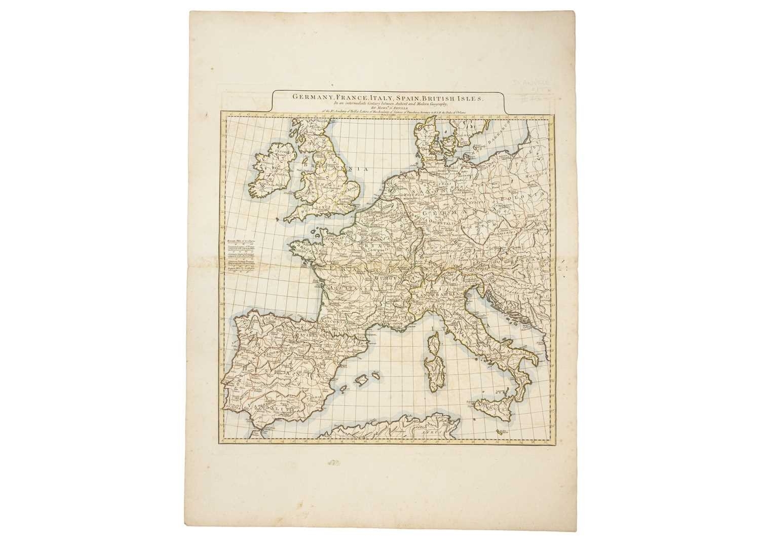
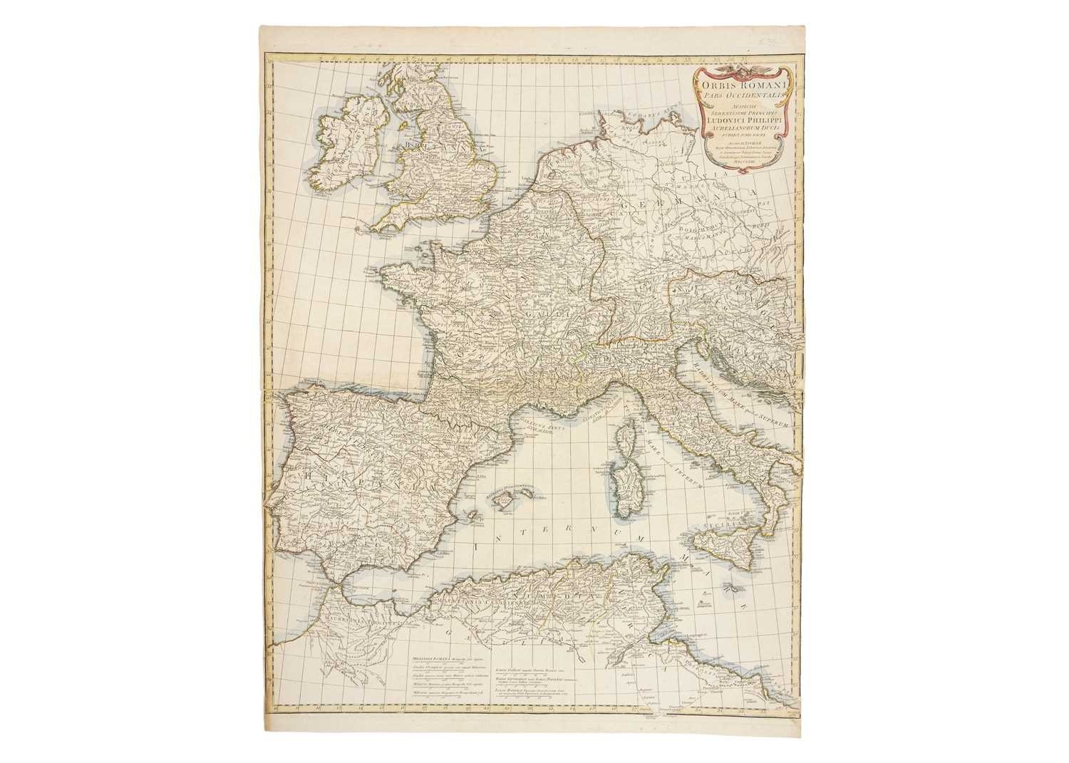
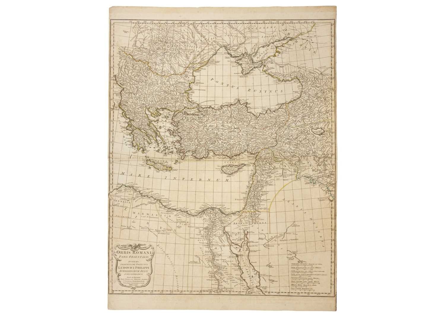
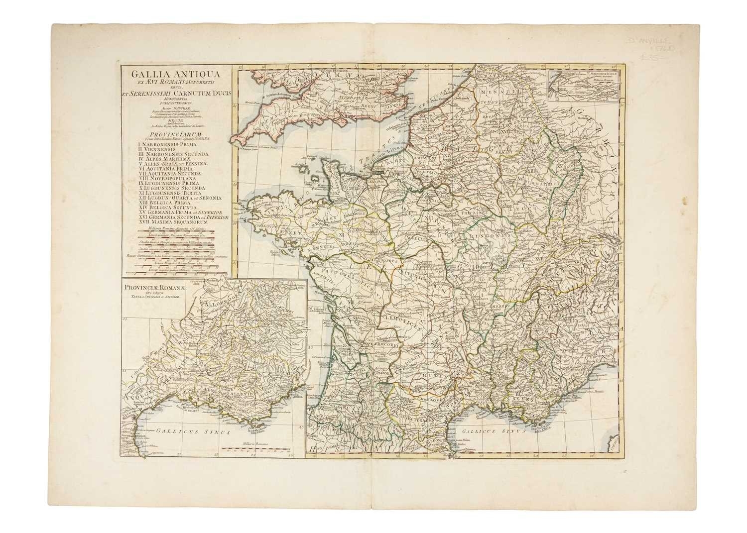
D'ANVILLE (M.) Five Maps and Title Page from 'A Complete Body of Ancient Geography' Jean-Baptiste Bourguignon d’Anville, 'Germany, France, Italy, Spain, British Isles', c1771, In an intermediate Century between Antient and Modern Geography, in original colours with coloured borders and highlighted waters, plate size 52.5cm x 49cm, paper size 74cm x 55.5cm; Map of France during Roman Times, c1760, 'Gallia Antiqua Ex Aevi Romai Monumentis Eruta et Serenissimi Carnutum Ducis...', coloured borders, roman provinces within France listed, plate size 46cm x 58.5cm; 'Asiae que Vulgo Minor Dicitur et Syria', original copper plate engraved antique map of Turkey, Cyprus & Syria engraved in 1764, dated in the tile cartouche, coloured borders; 'Orbis Romani pars Occidentalis', coloured borders, 1763 and 'Orbis Romani pars Orientalis', coloured borders, 1864. (6)
Fees apply to the hammer price:
Free Registration
28.8% inc VAT*
Flat Fee Registration
25.20% inc VAT*