


£30 - £40
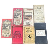
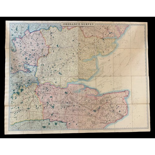
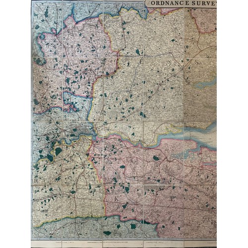
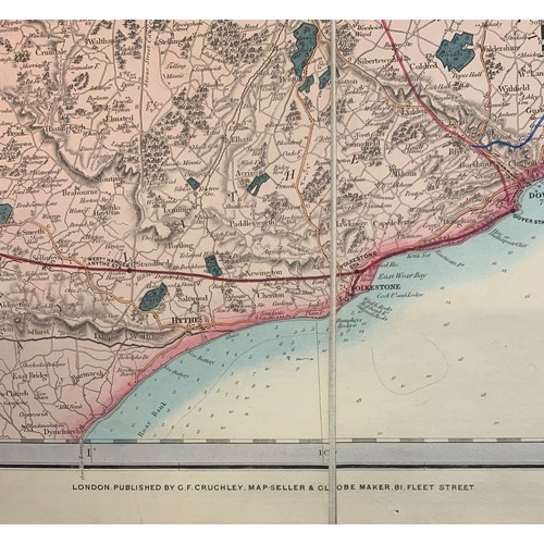
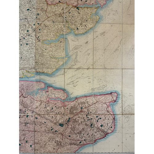
19th Century Ordnance Survey Map, London published by George Frederick Cruchley, Map Seller & Globe Maker, 81 Fleet Street. Large foldout Ordnance Survey Map, showing London, Essex and Dover. Linen backing in 32 sections, with marbled cover. Measures 130.5cm horizontal and 101cm vertical.
Fees apply to the hammer price:
Free Registration
27.6% inc VAT*
Flat Fee Registration
24.00% inc VAT*