


£100
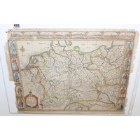
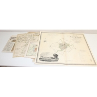
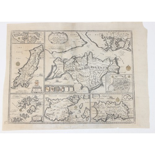
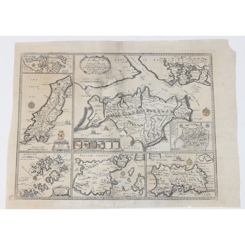
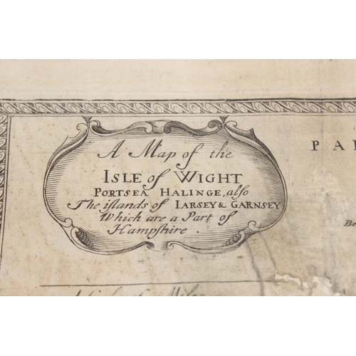
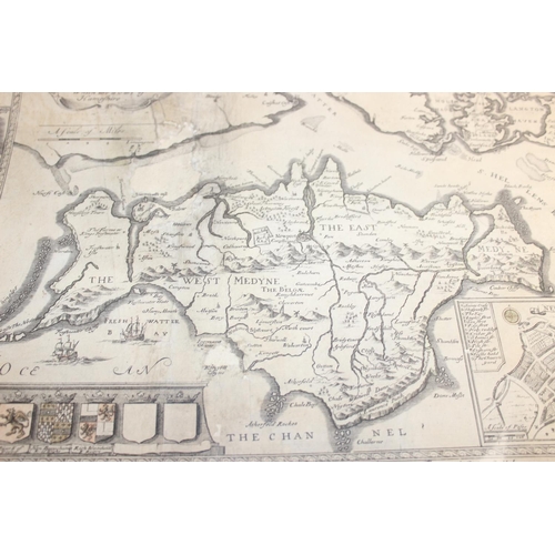
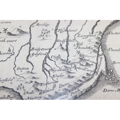
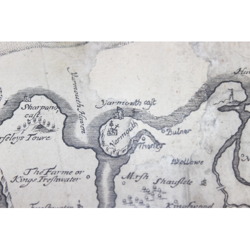
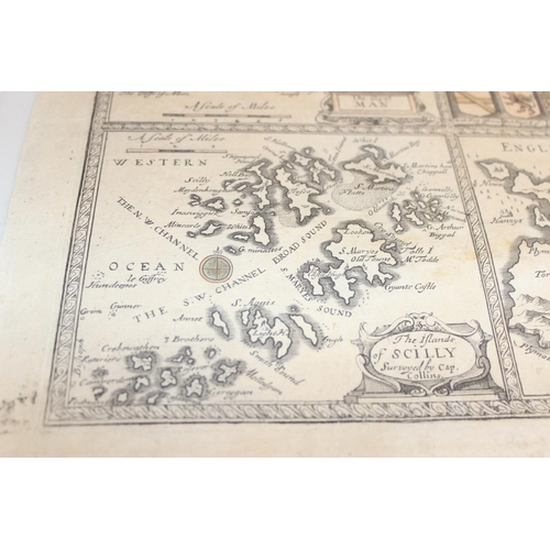
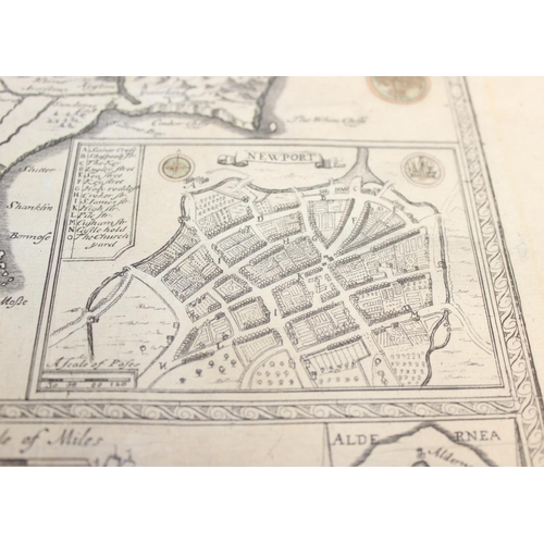
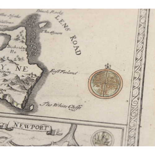
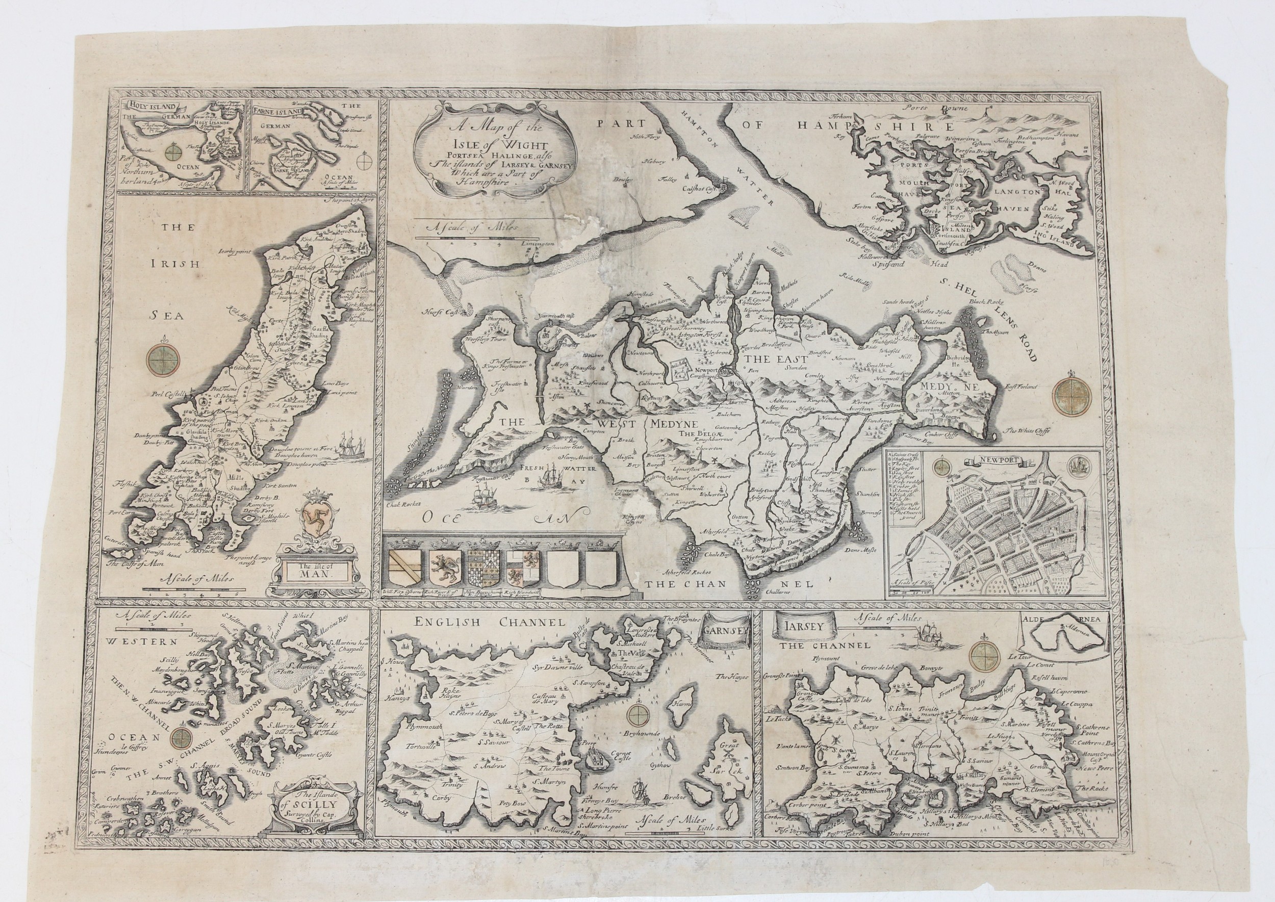
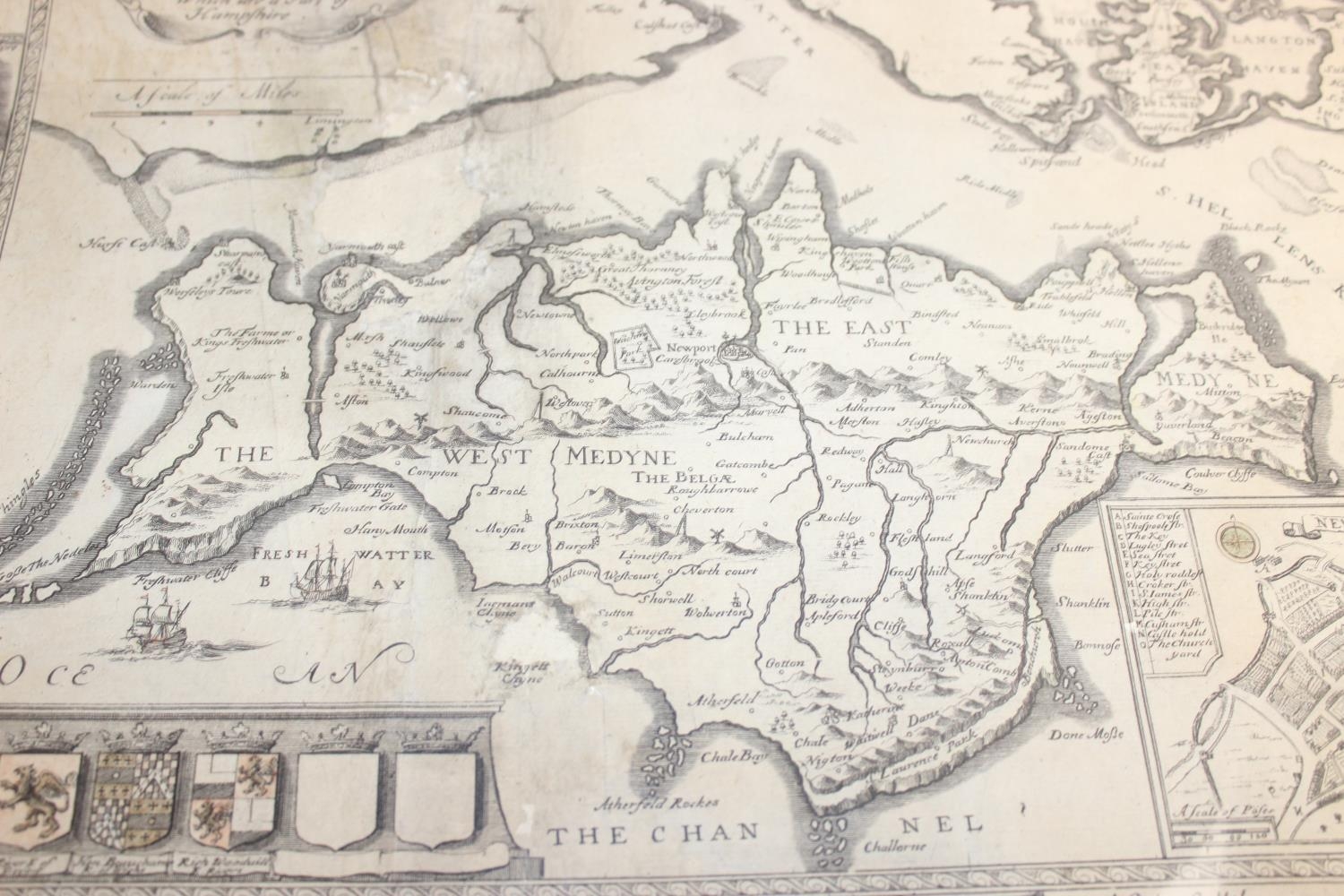
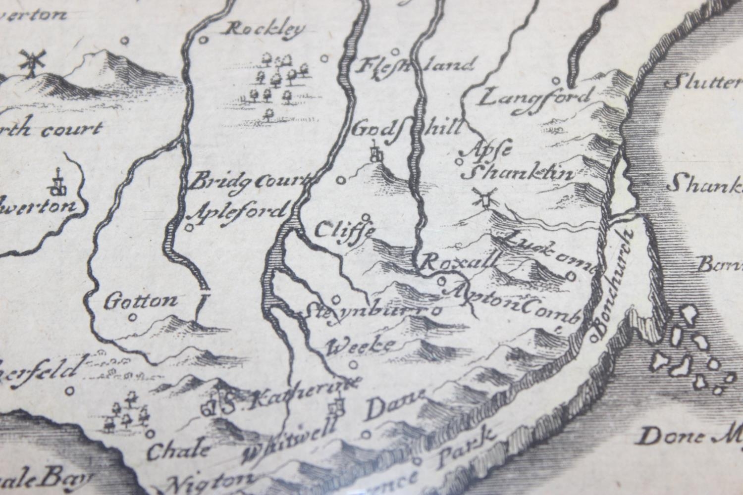
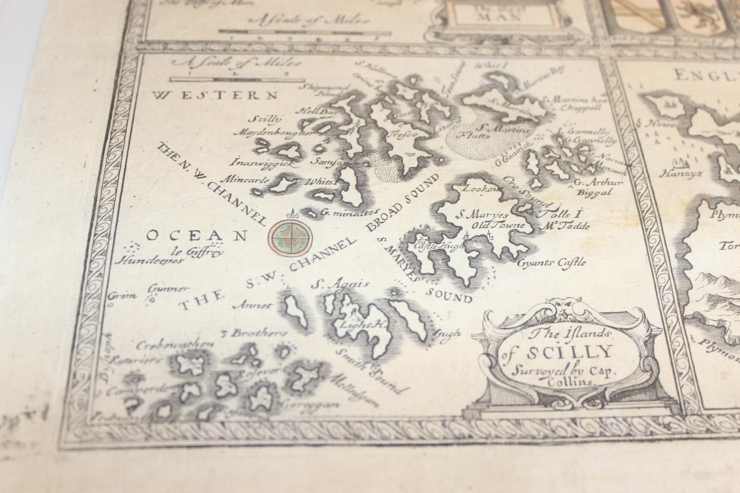
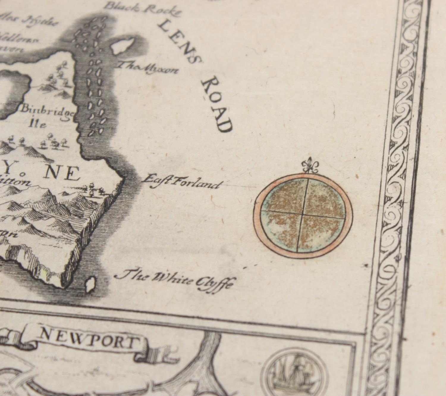
Philip Lea (17th century), a Map of the Isle of Wight Portsea Halinge, also the Islands of Jarsey & Garnsey (Jersey & Guernsey) which are part of Hampshire, circa 1730, hand-coloured engraved map of the Isle of Wight, inset map of Newport, surrounded by another six maps comprising of Jersey, Guernsey, The Scilly Isles, The Isle of Man, Holy and Farne Island, unframed, paper size approx 55cm x 42cm
Postage Group - B (£20 + VAT) - Condition reports are available upon request, no item should be assumed to be in good condition unless a condition report states so - All electrical and mechanical lots (to include but not limited to watches, clocks, cameras, Hi-Fi) are sold as non-working without exception - For full Terms & Conditions please see the Churchill Auctions website
Fees apply to the hammer price:
Free Registration
27.6% inc VAT*
Flat Fee Registration
24.00% inc VAT*