


£200 - £400
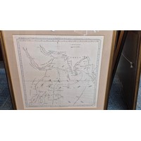
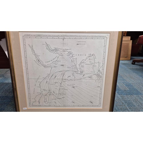
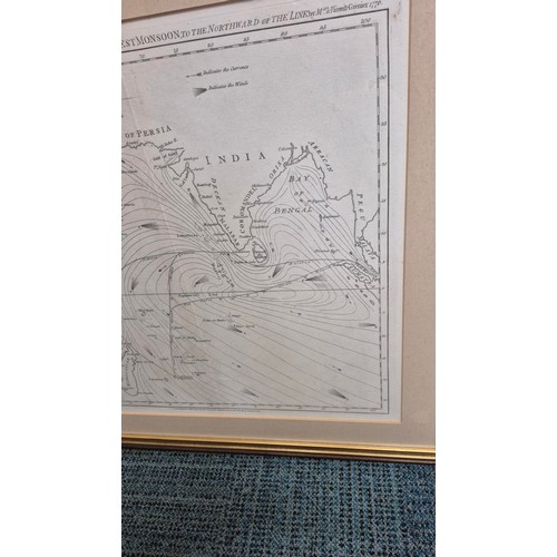
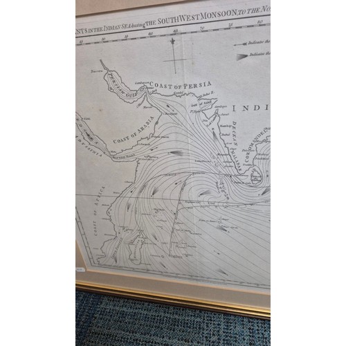
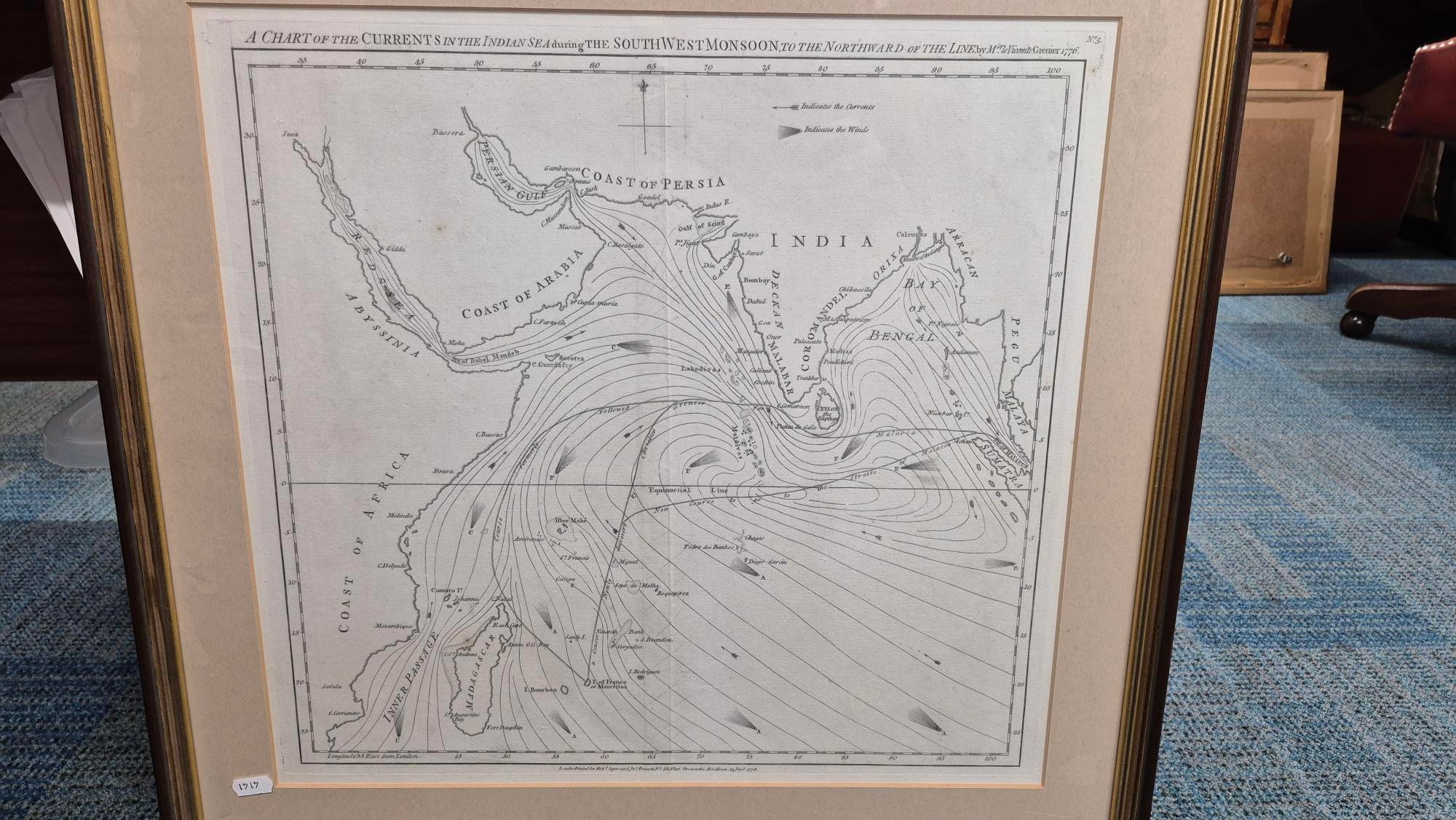
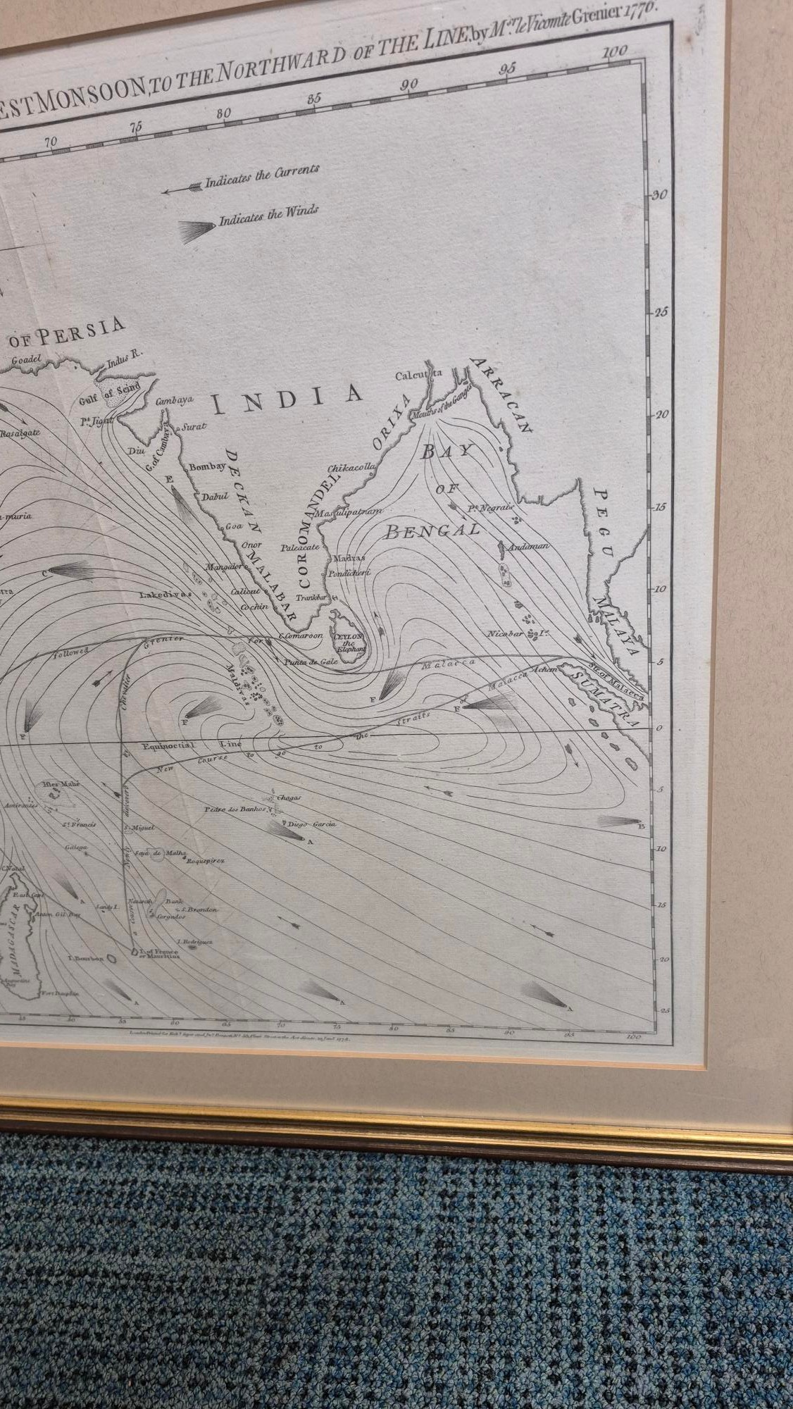
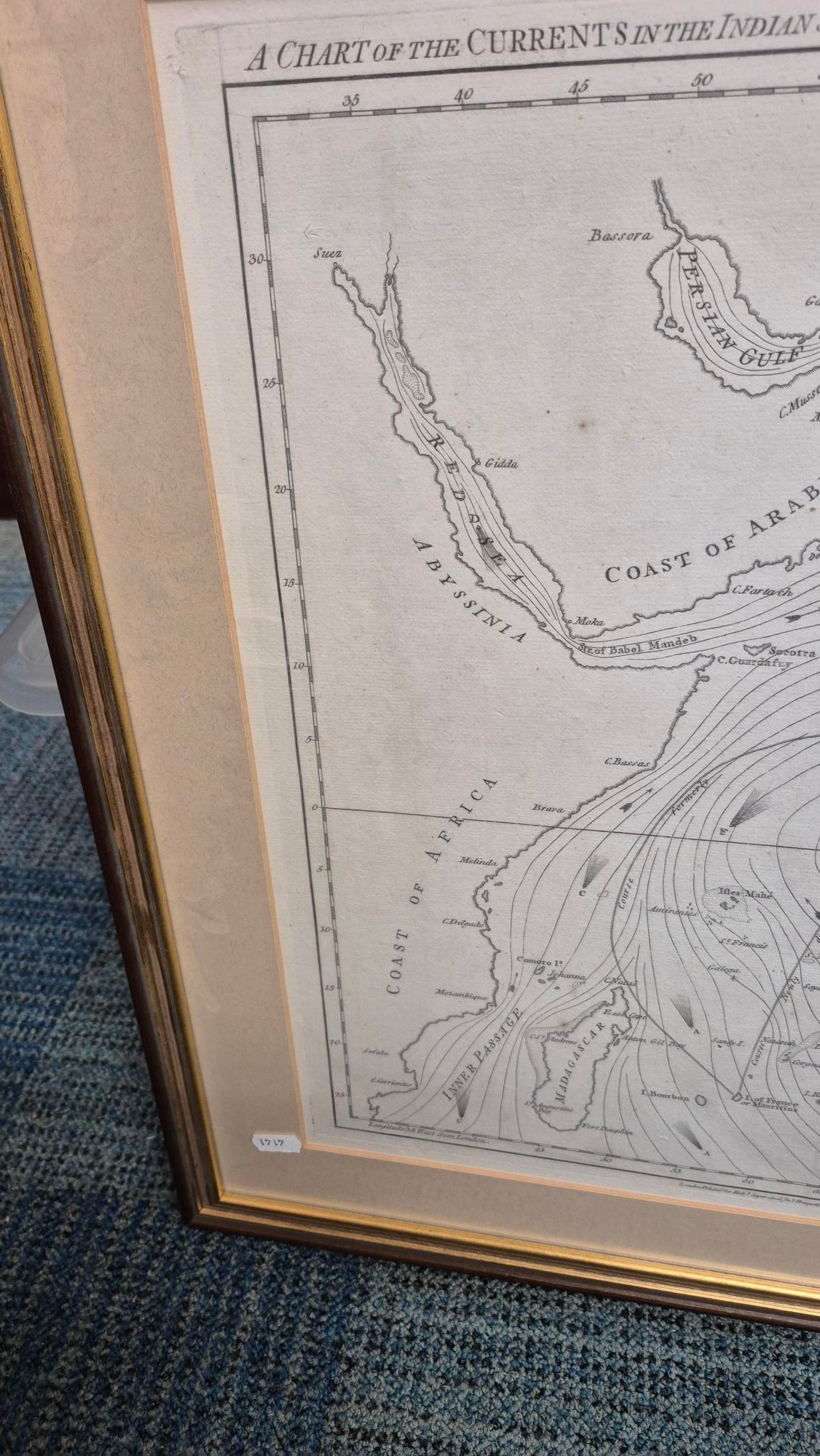
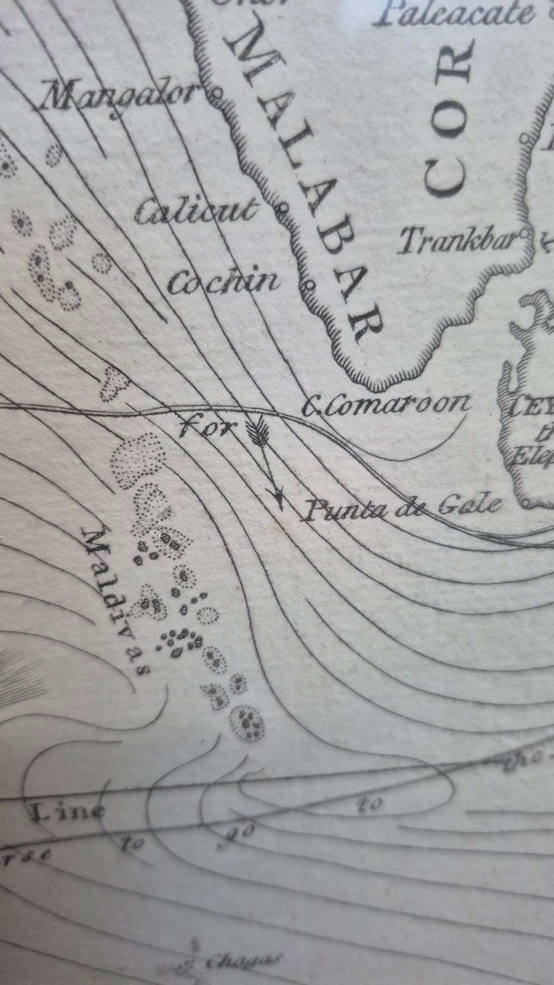
Robert Sayer's and John Bennett Antique Map
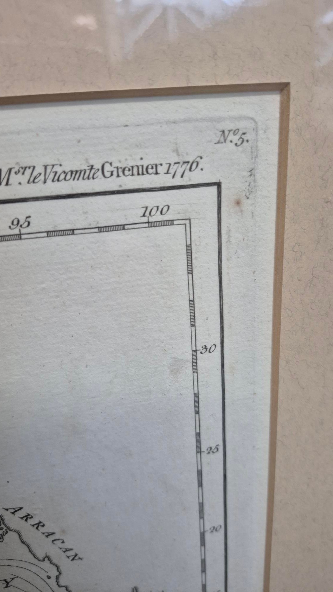
Dated 1778
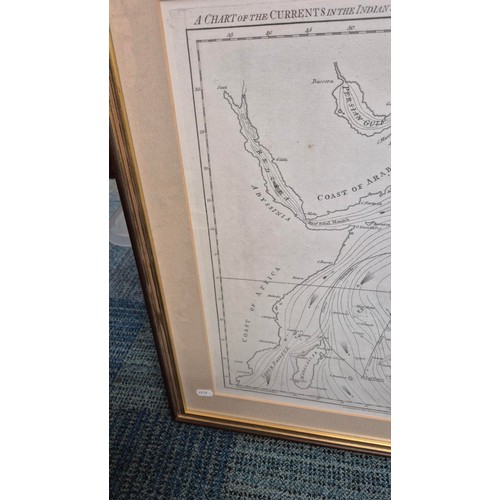
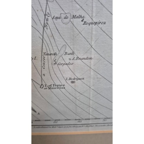
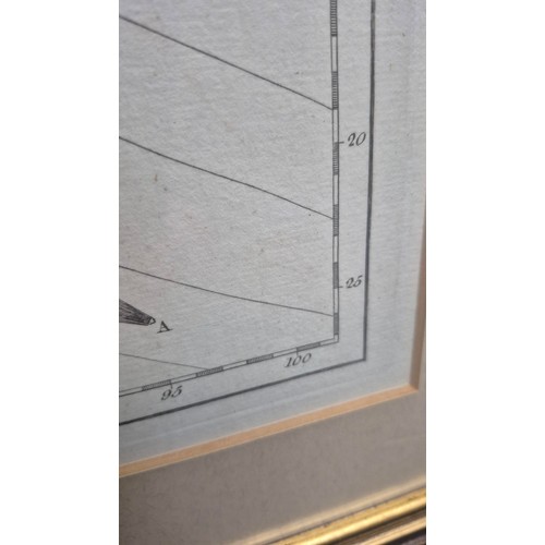
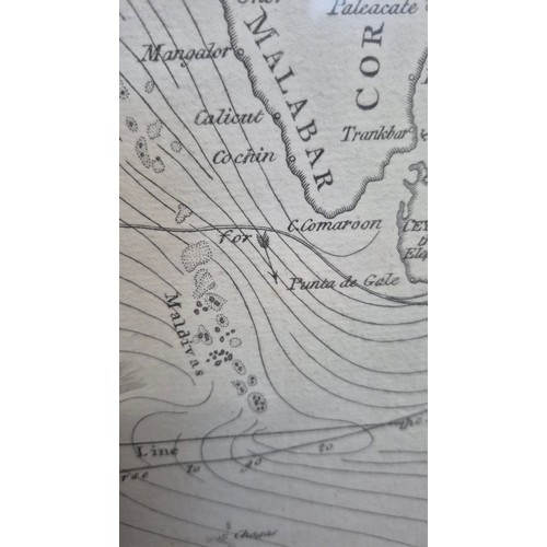
A Chart of the Currents in the Indian Sea During the Southwest Monsoon, to the Northward of the Line
Measures 63cm Long by 61cm Tall (No 5)
We Have Two Identical Maps in Sale Next Lot
Fees apply to the hammer price:
Free Registration
25.2% inc VAT*