
£750
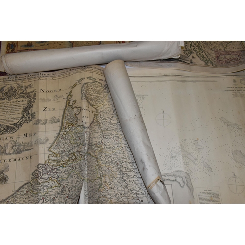
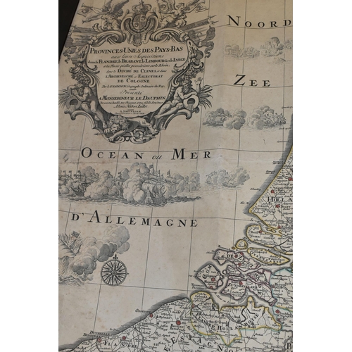
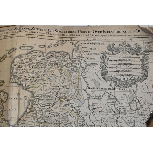
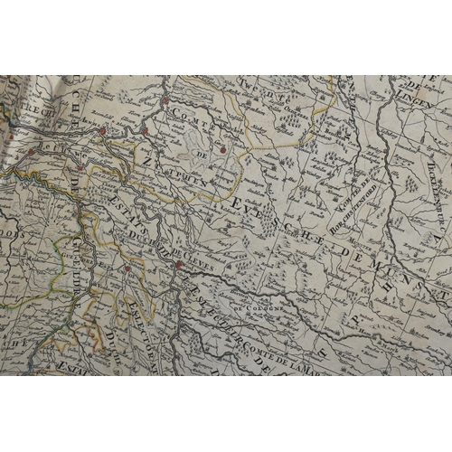
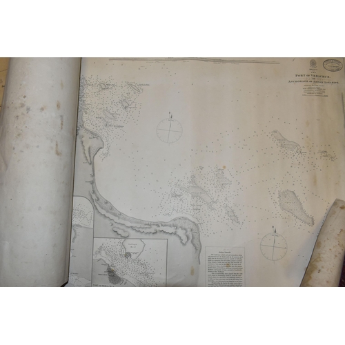
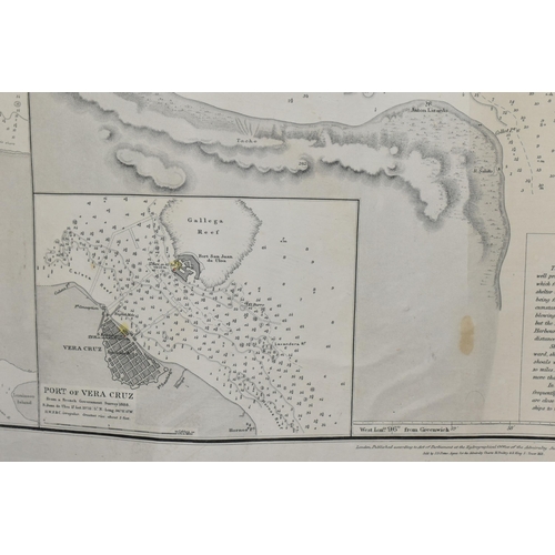
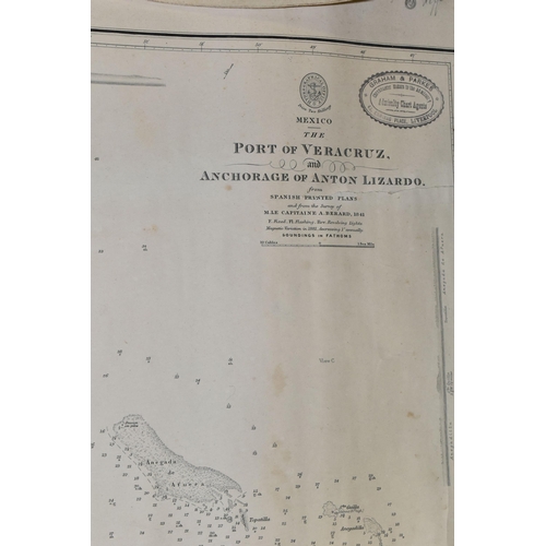
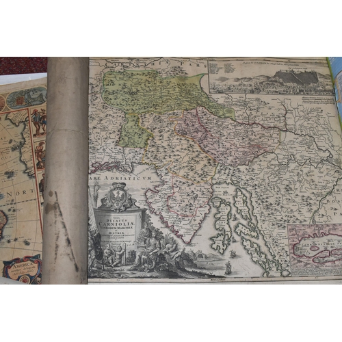
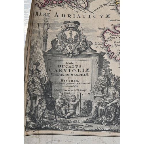
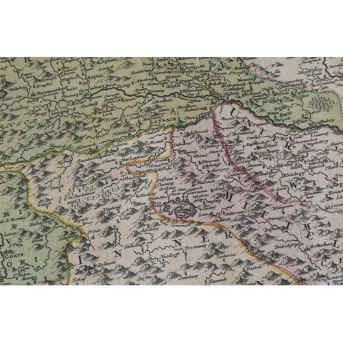
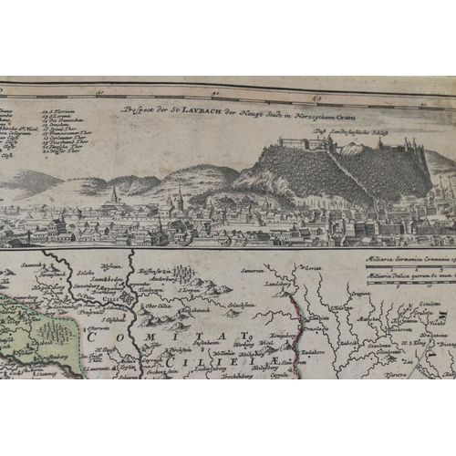
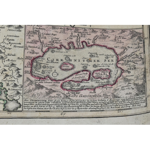
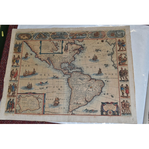
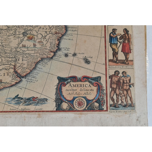
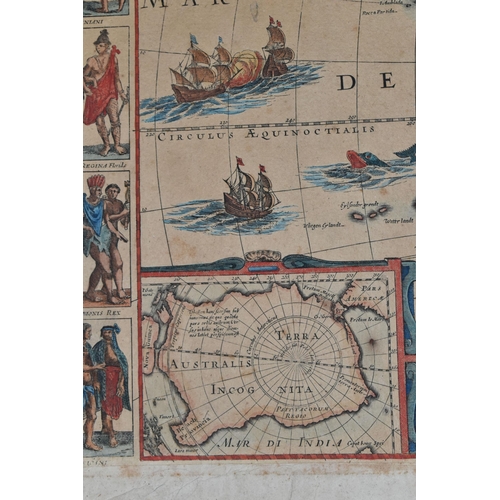
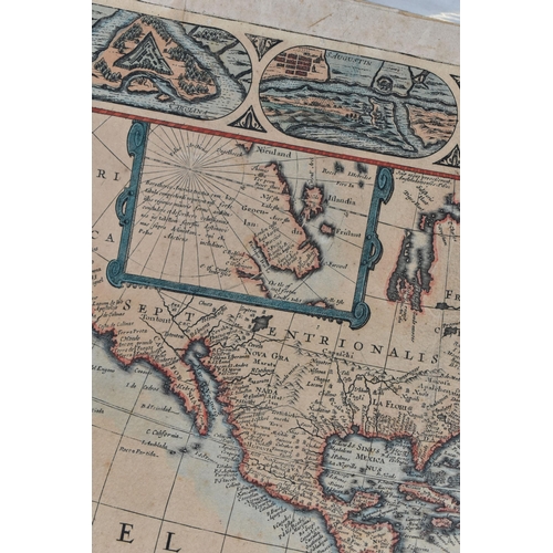
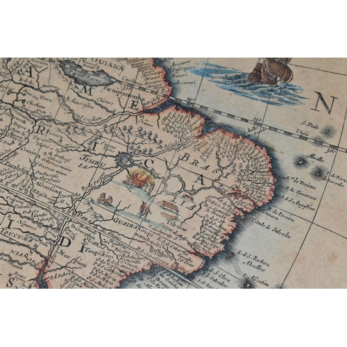
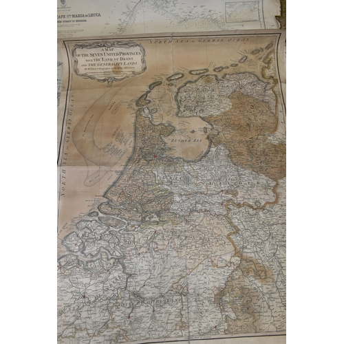
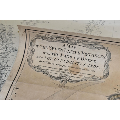
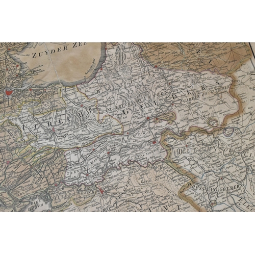
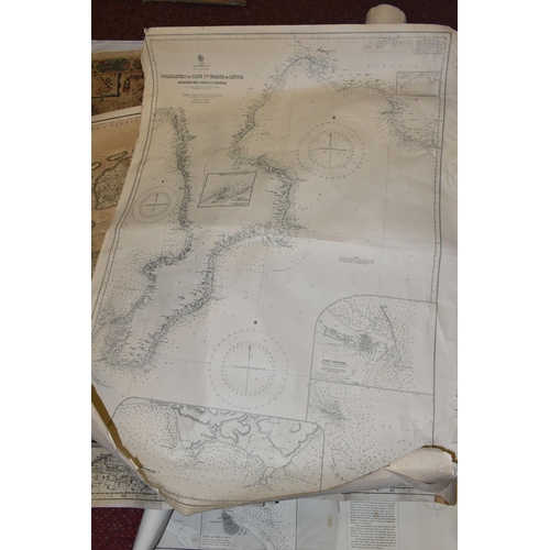
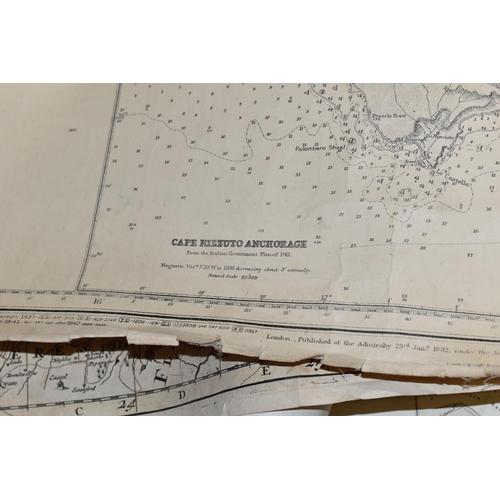
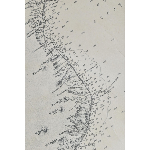
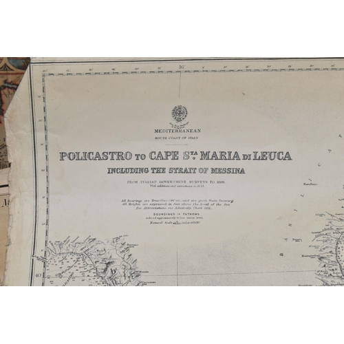
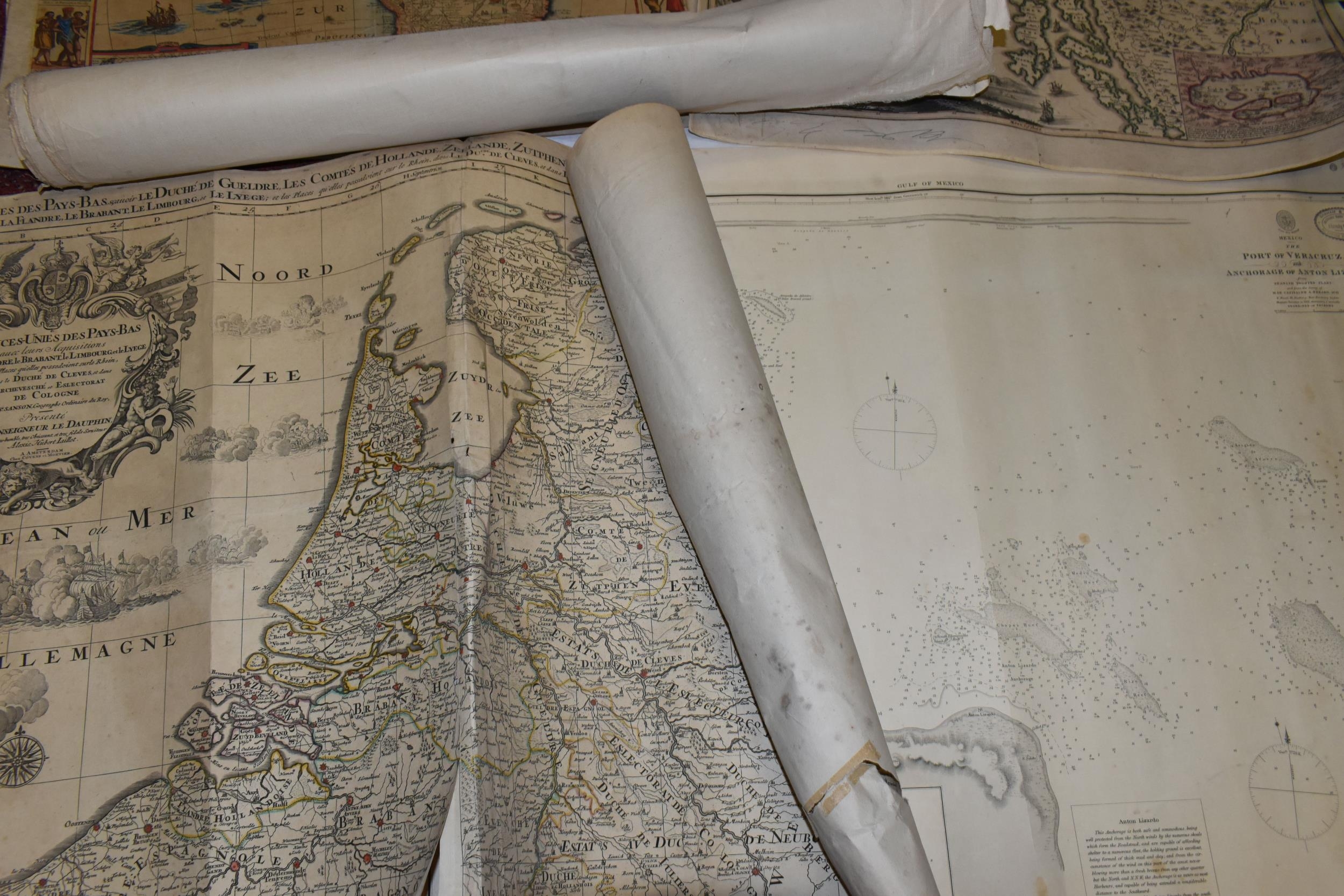
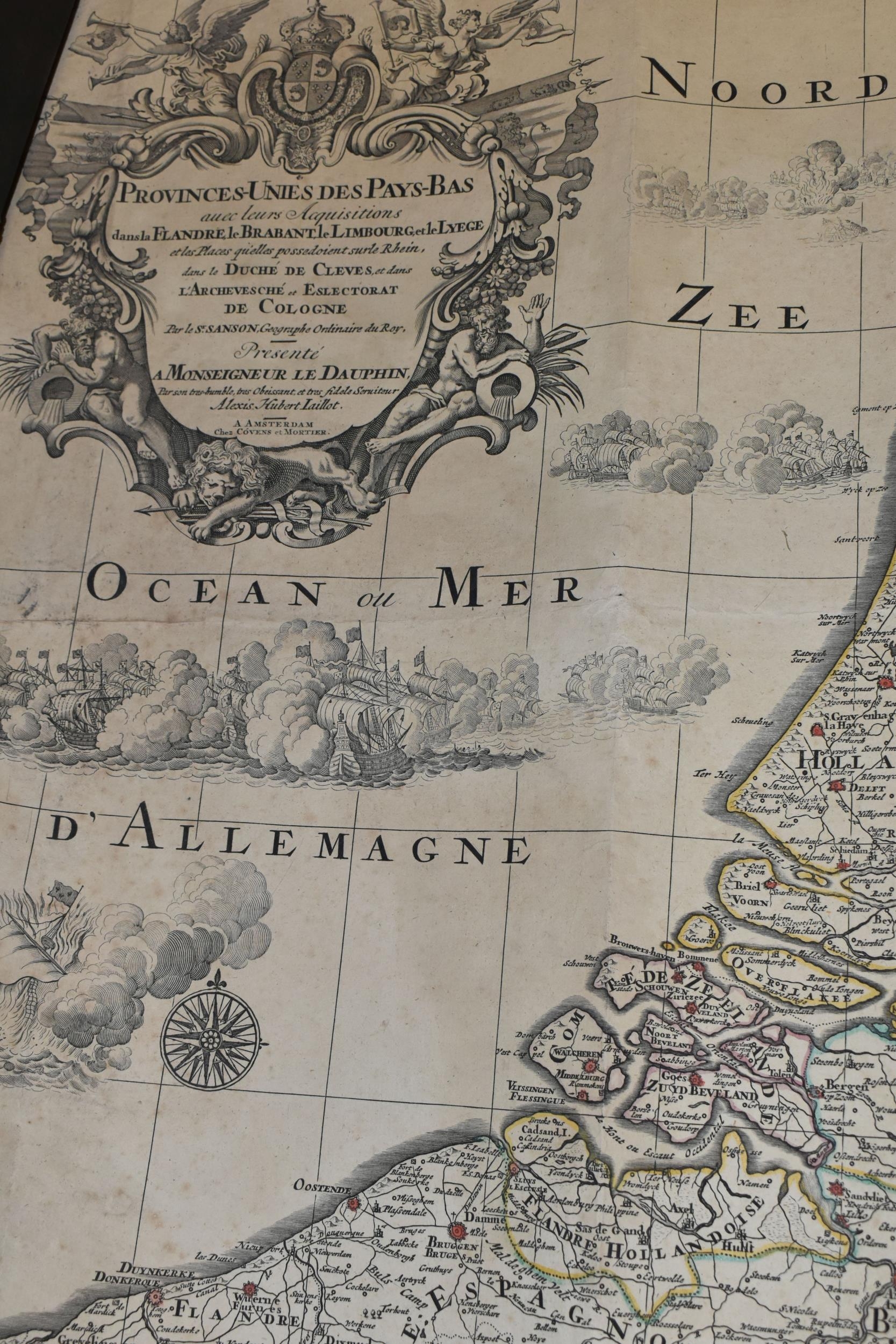
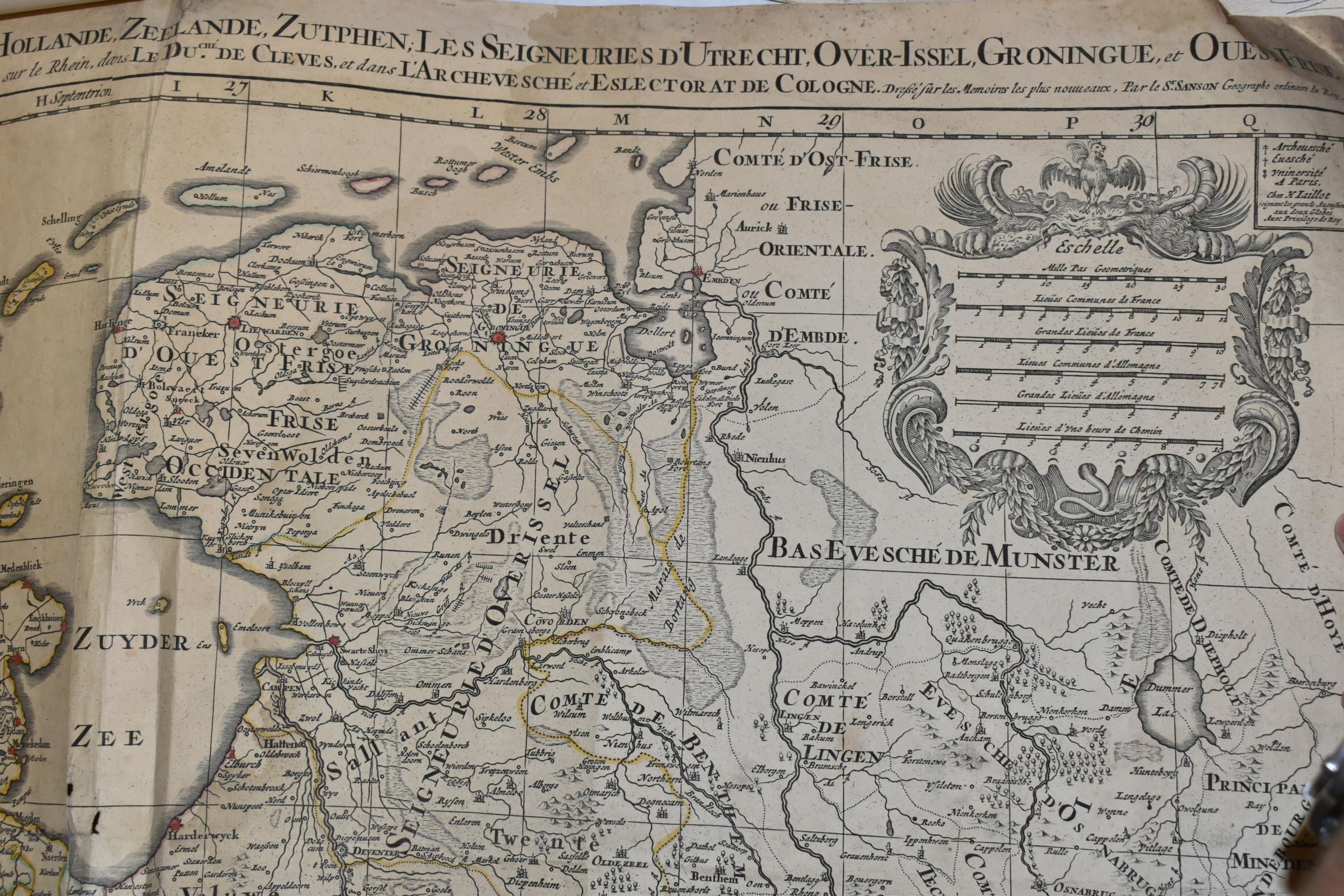
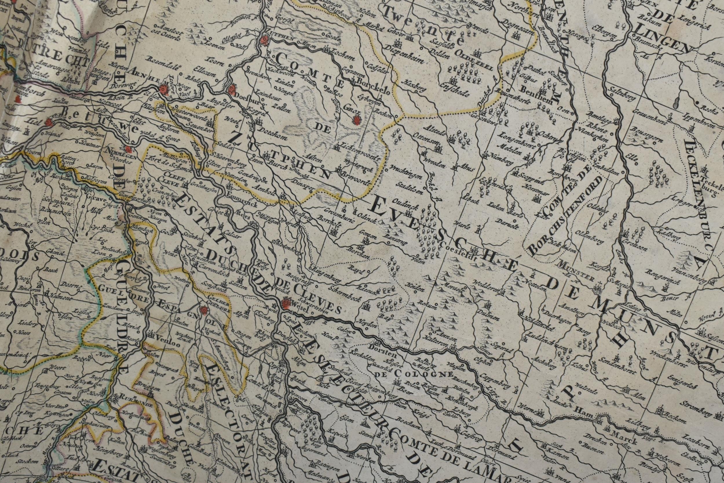
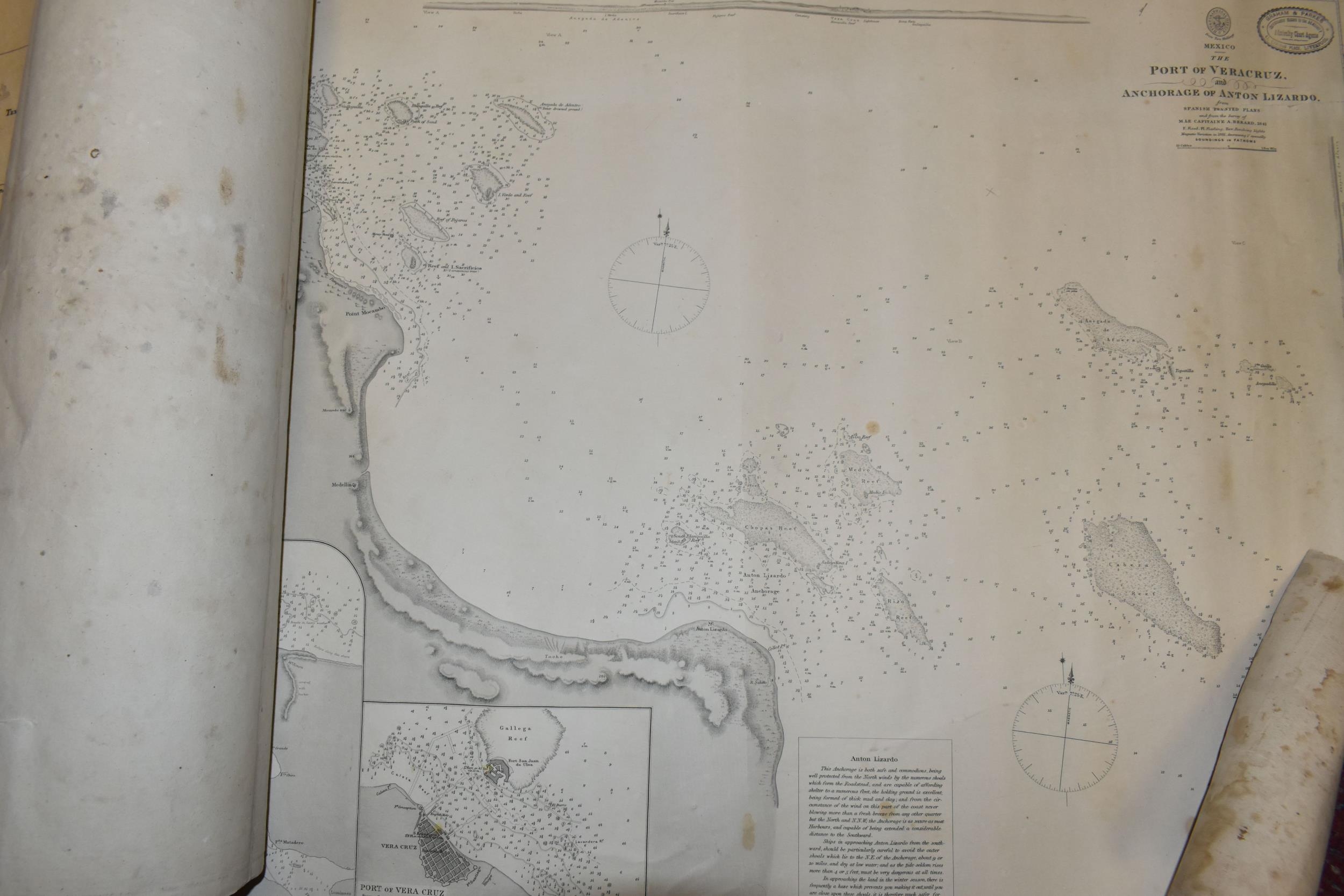
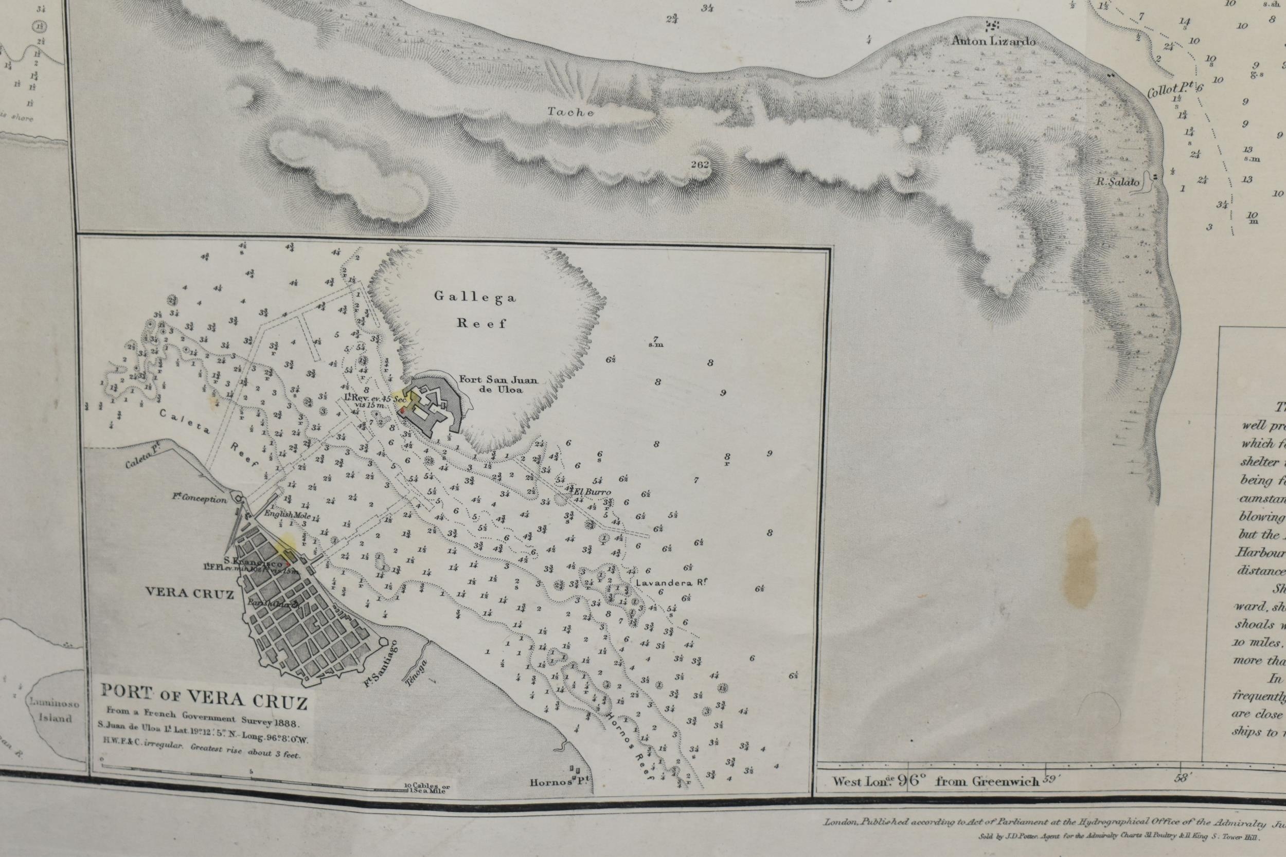
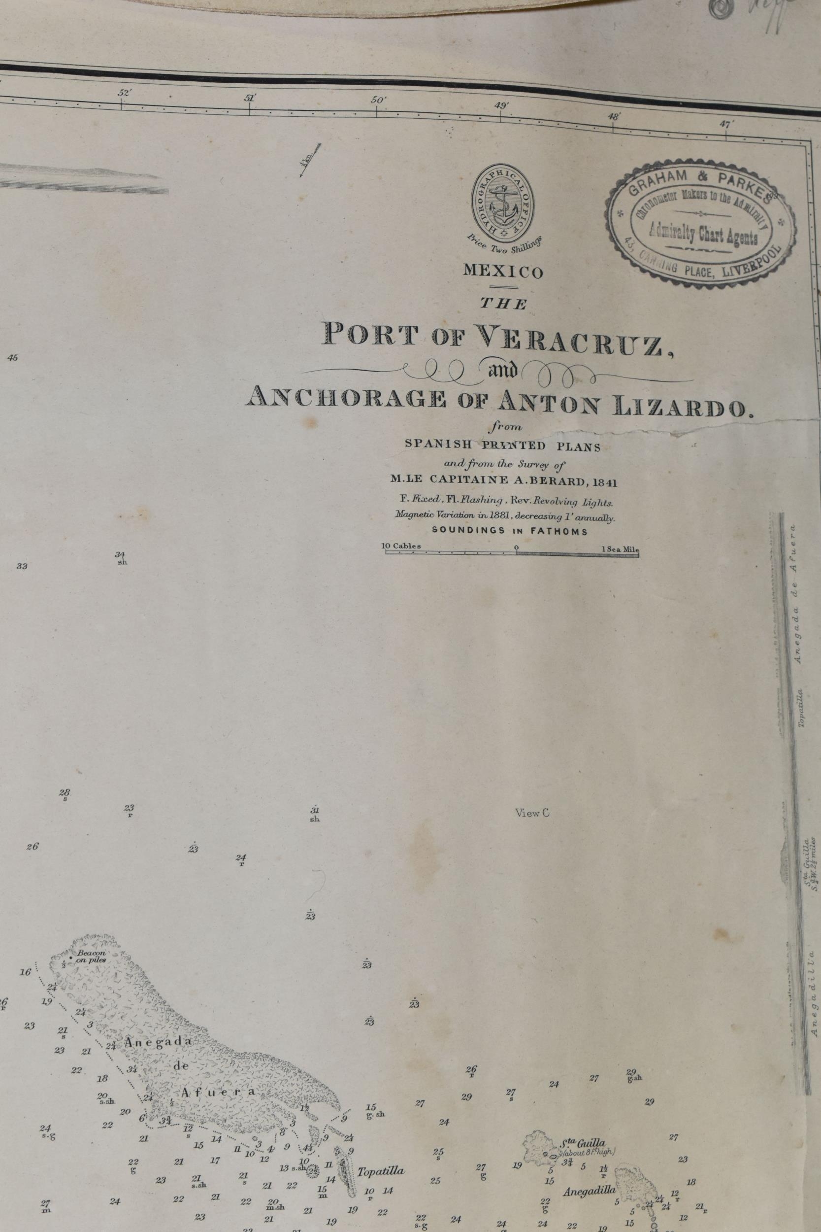
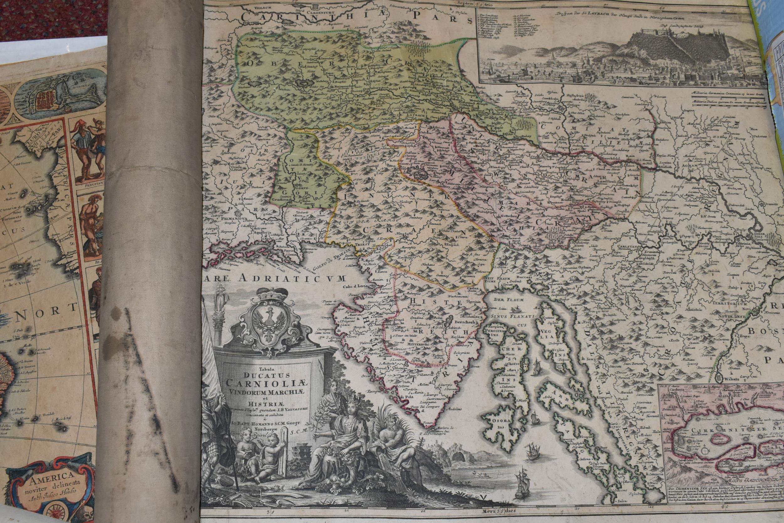
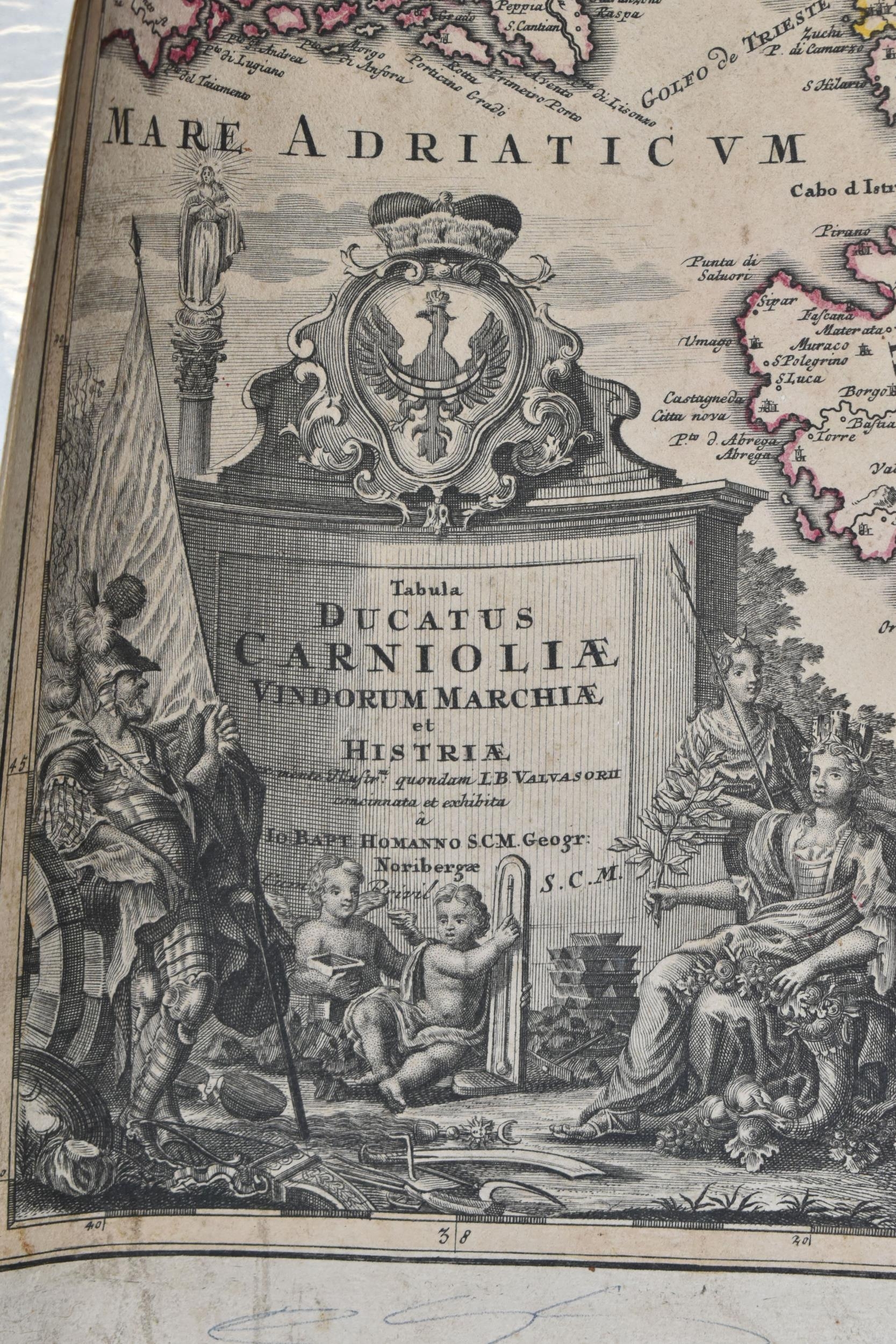
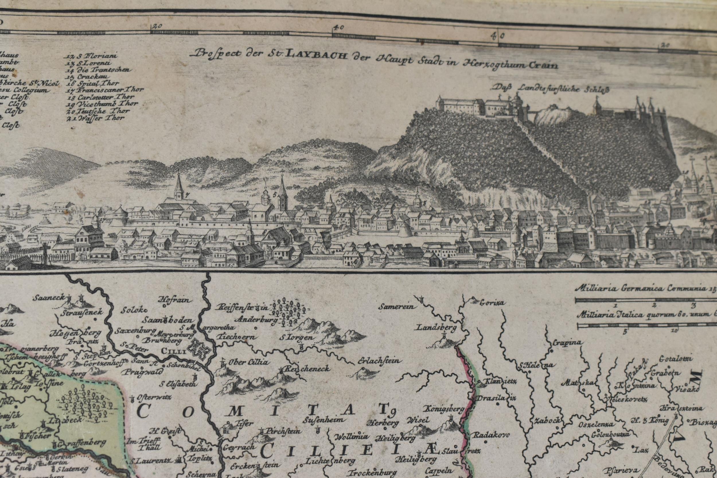
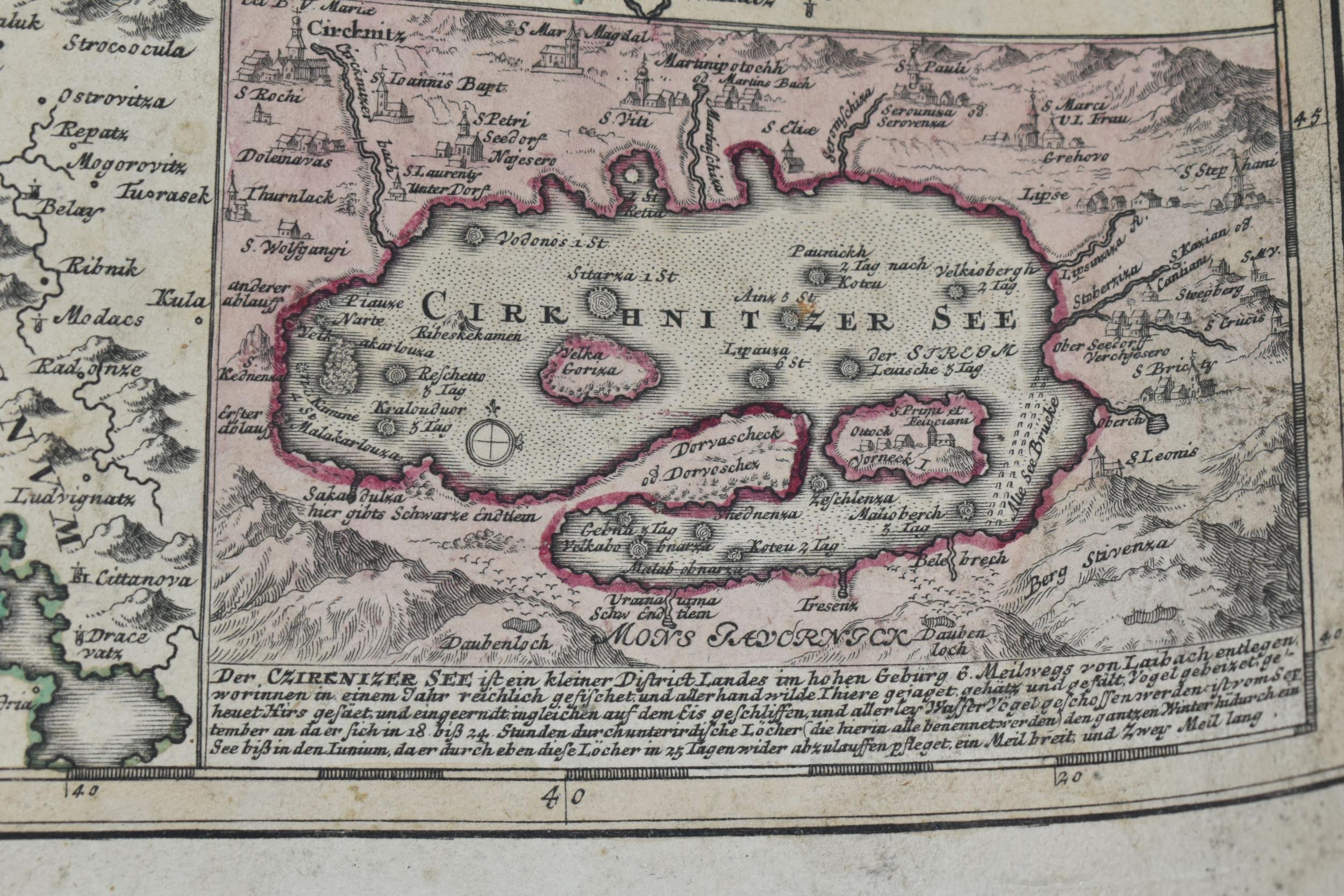
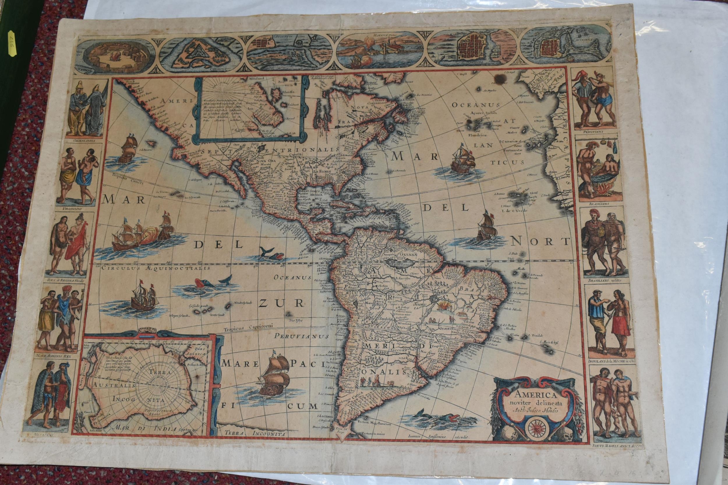
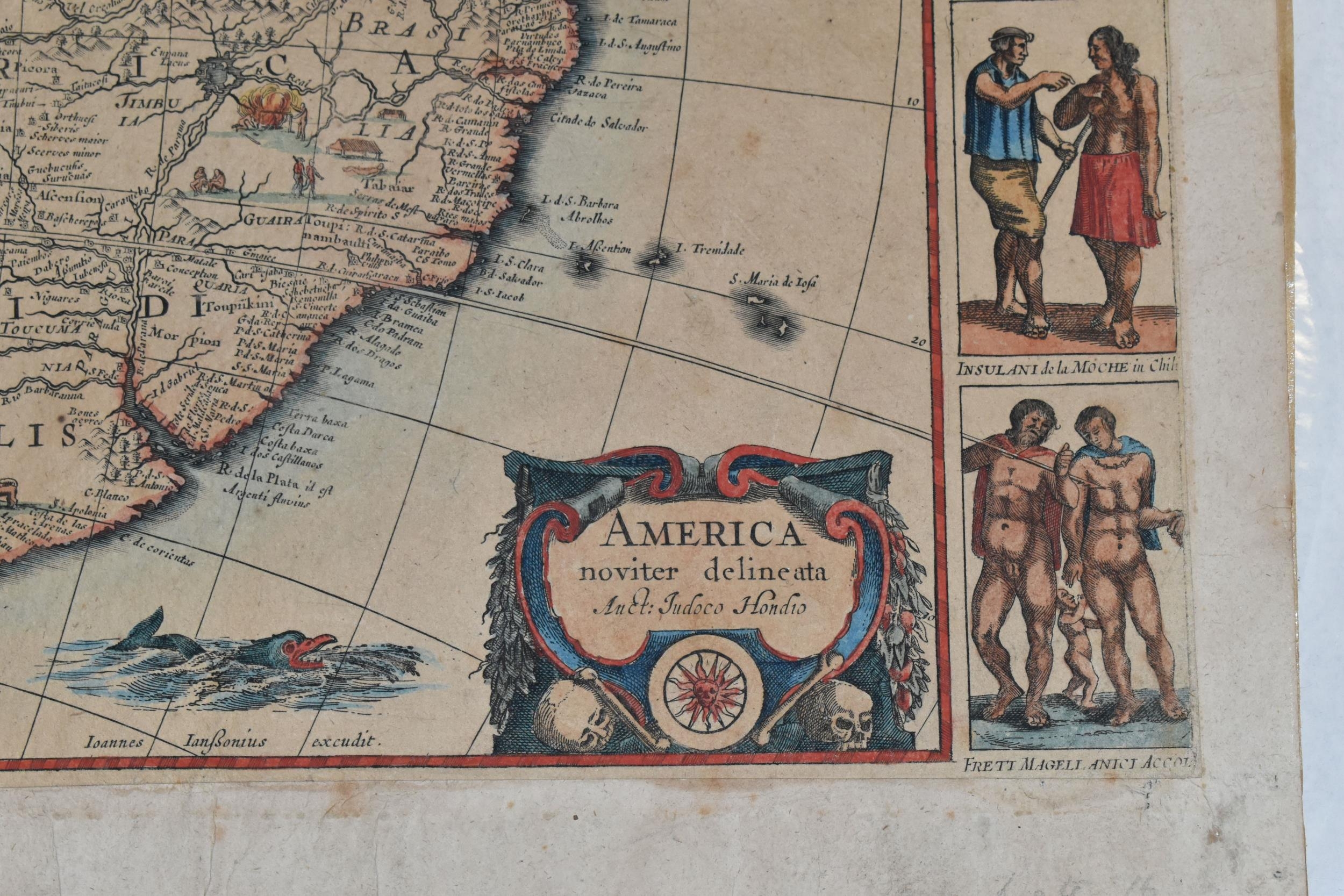
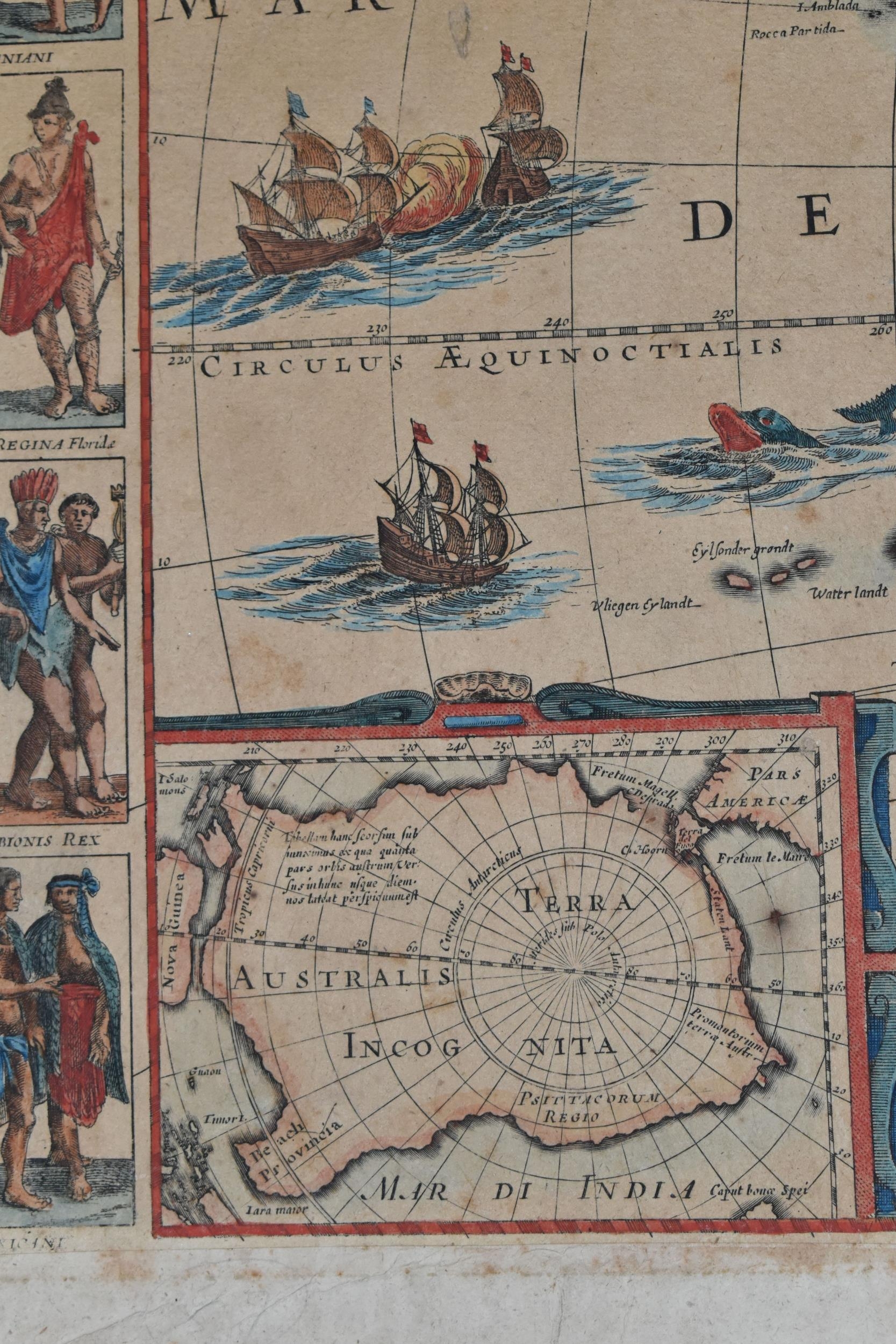
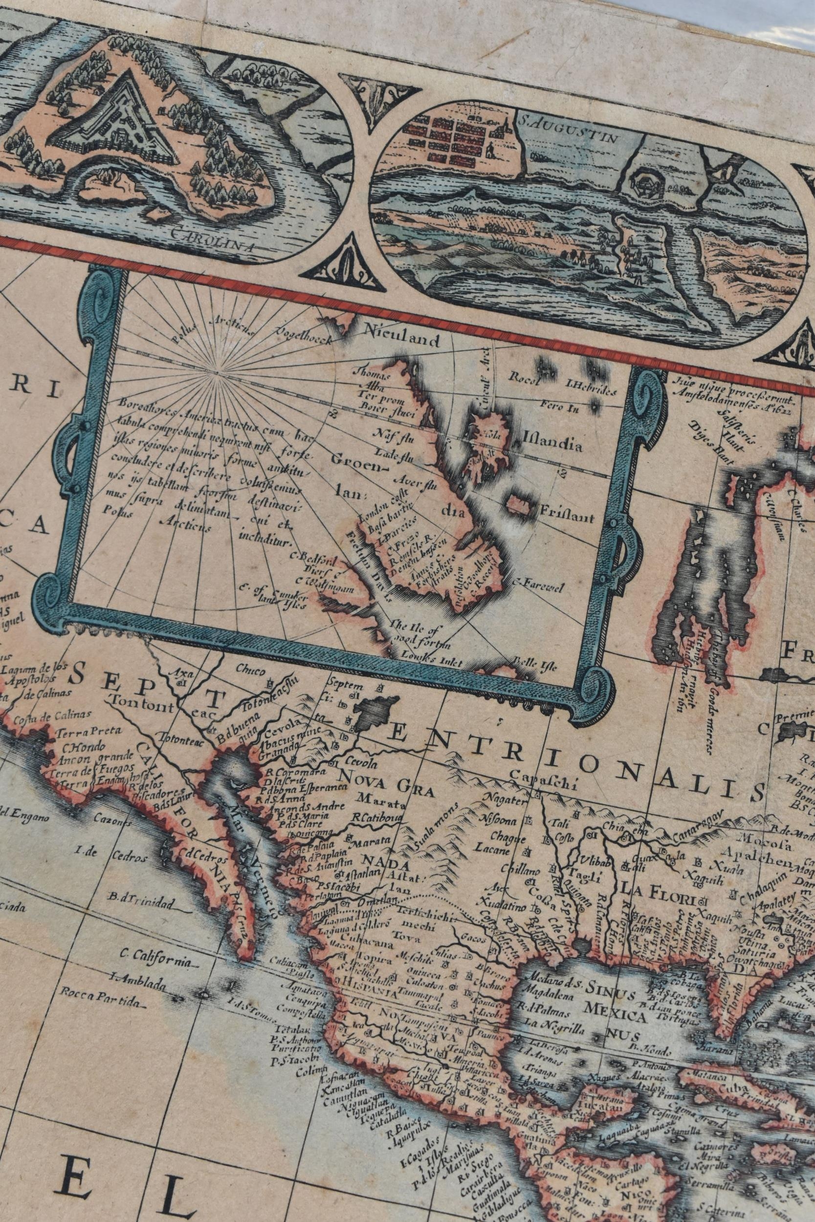
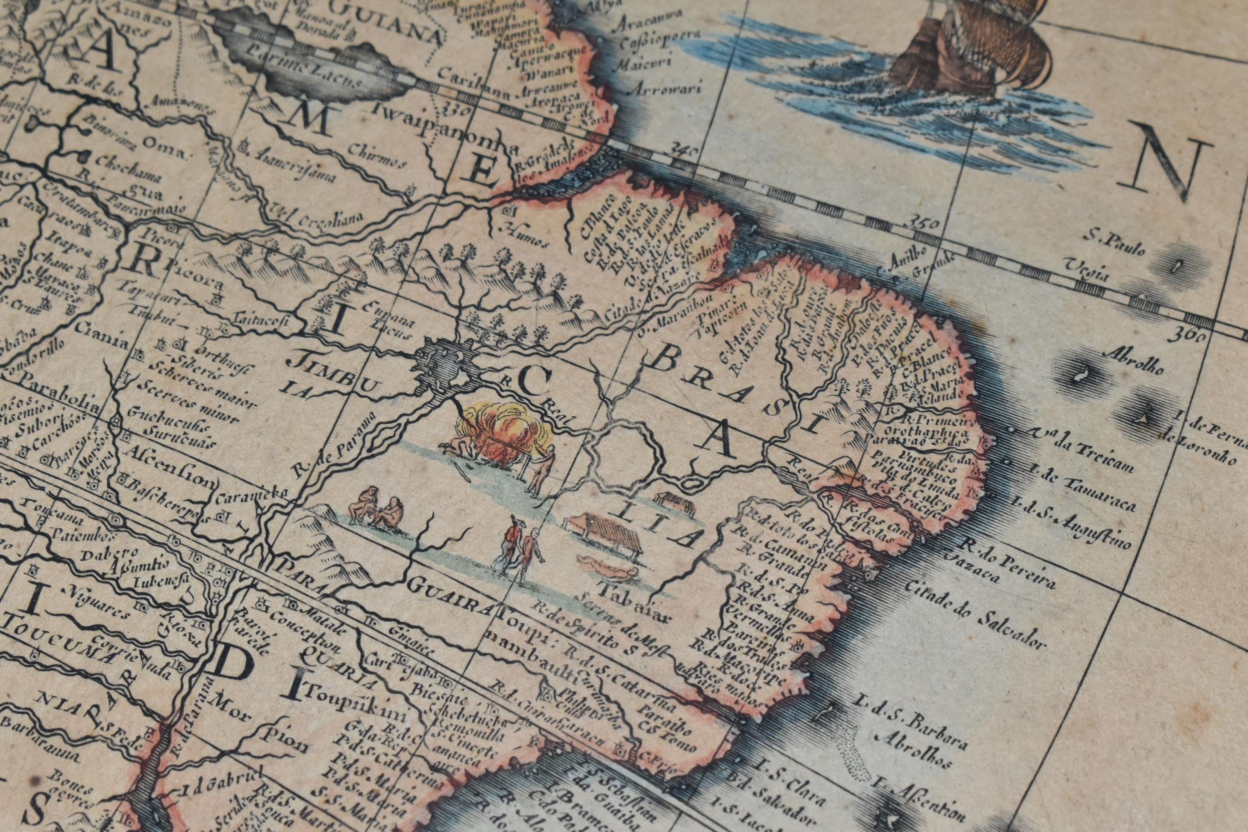
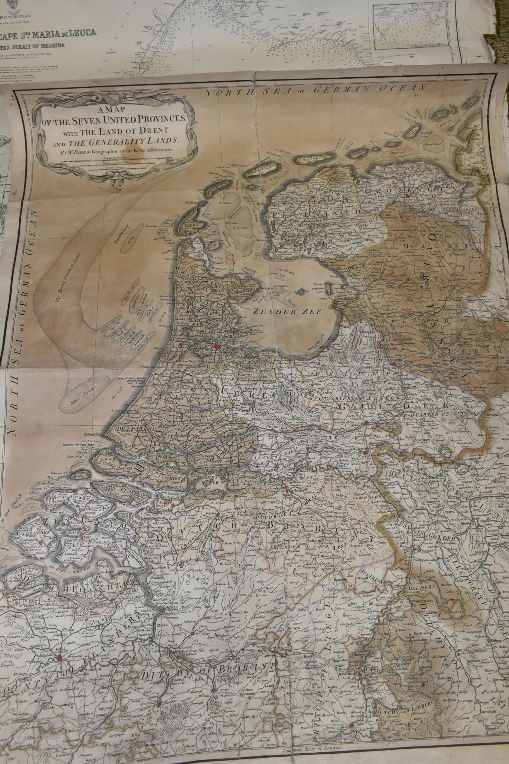
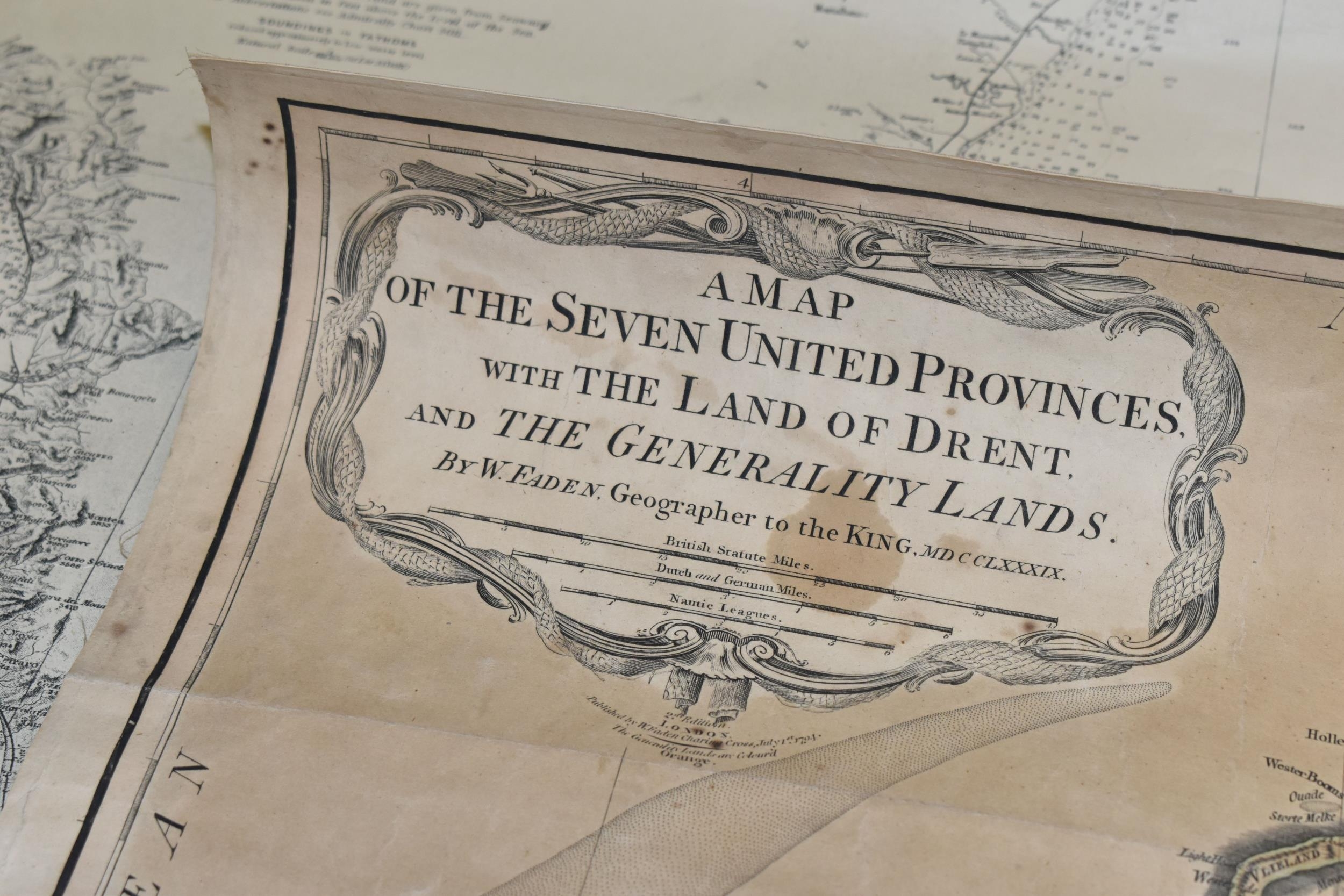
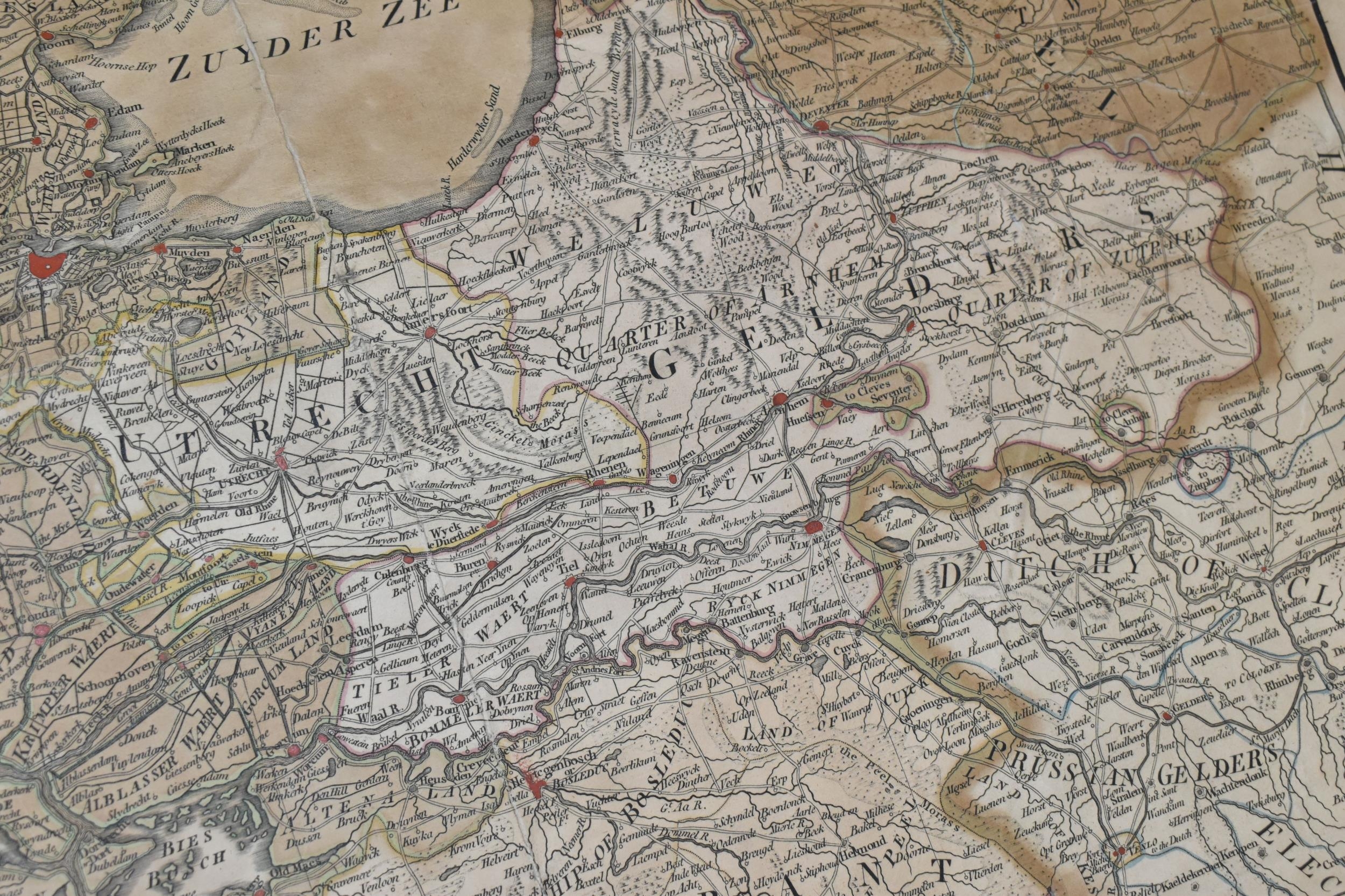
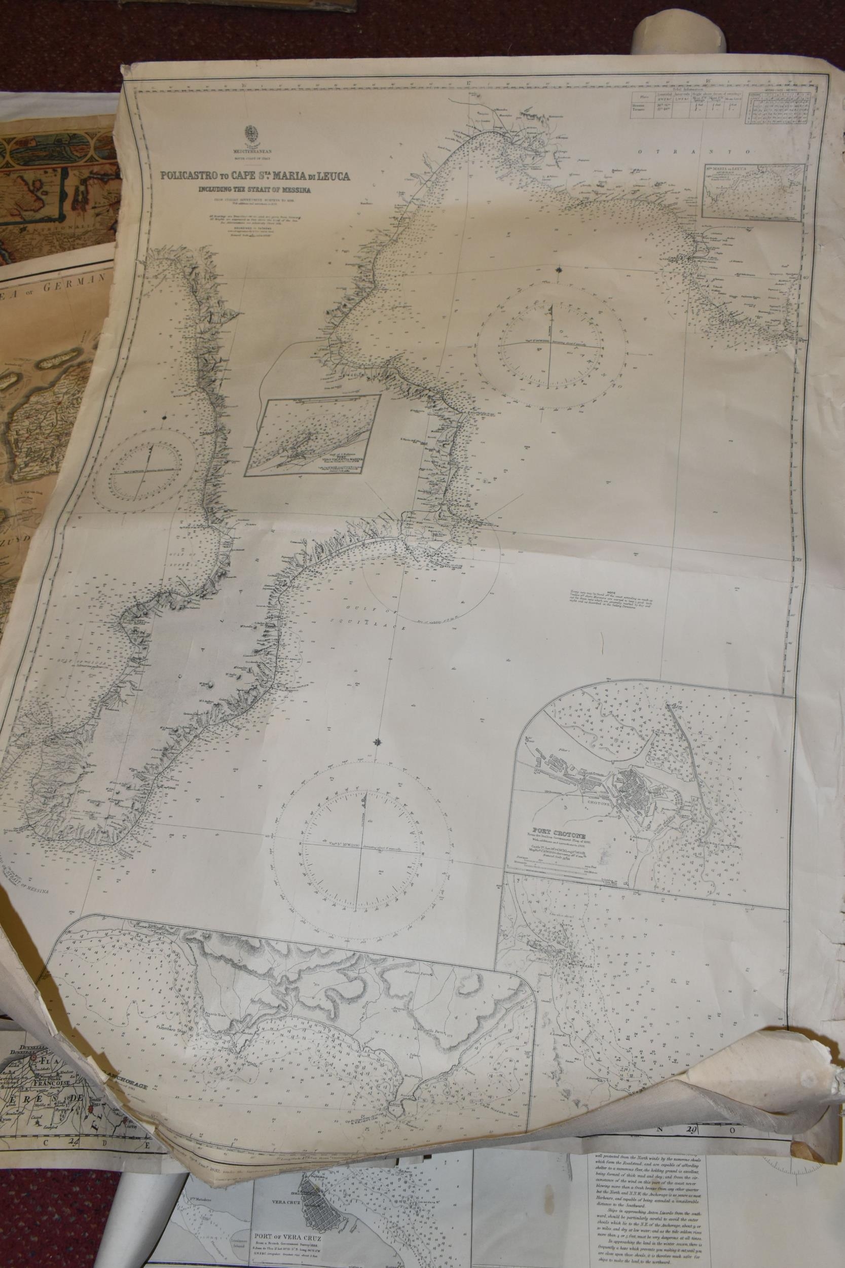
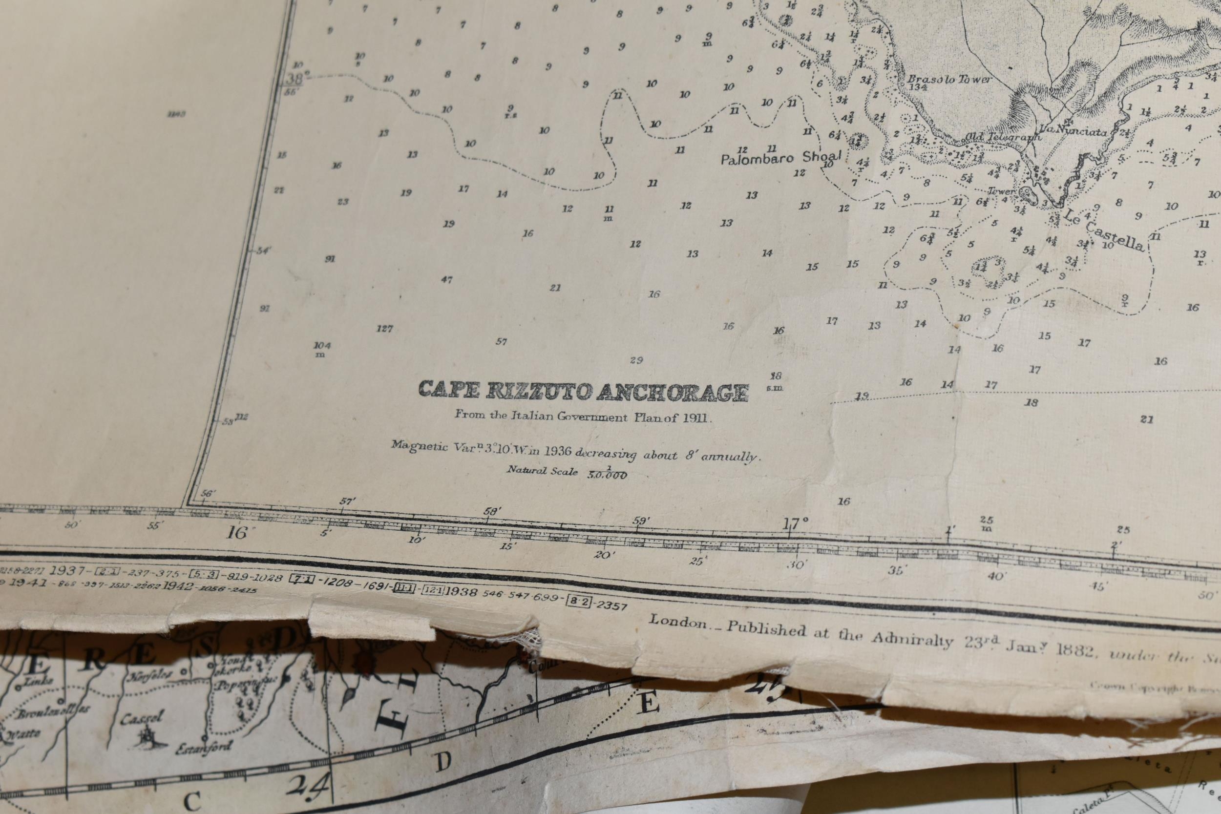
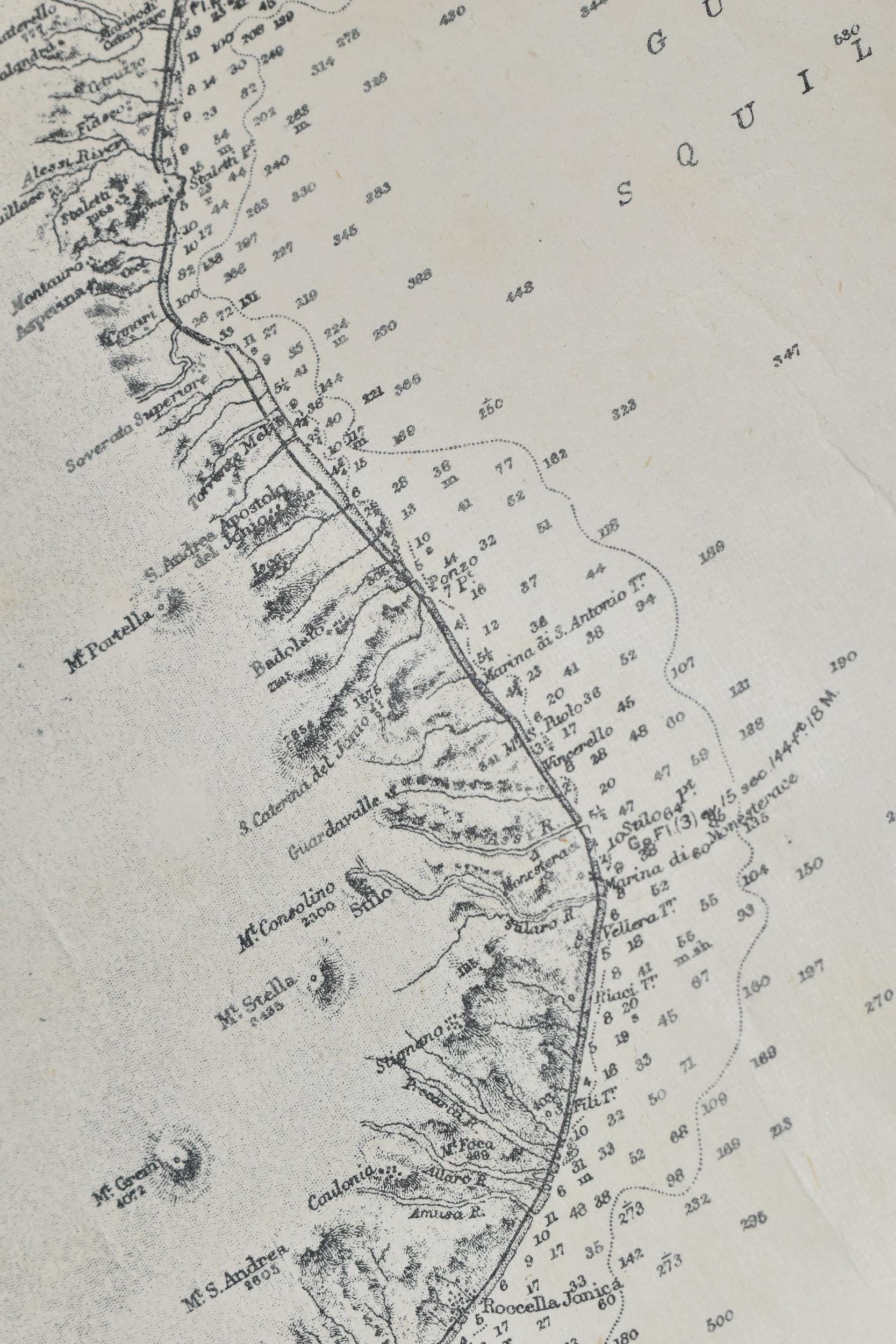
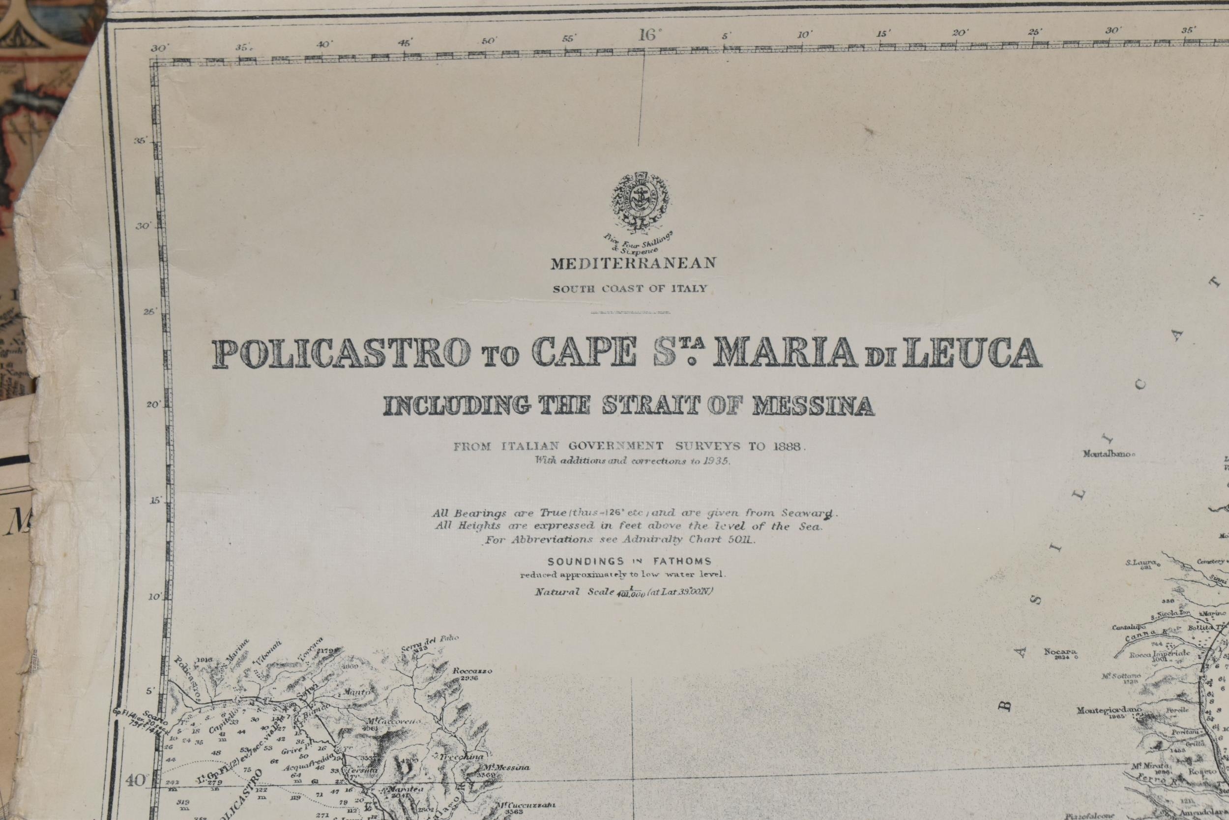
SIX VINTAGE MAPS comprising a possibly late 17th century- early 18th century map inscribed Provinces- Unies Des Pays-Bas auec leurs Aquisitions dans lea Flandre le Brabant Le Limbourg et le Lyege et les Places quelles possedoient surle Rhein, dans le Duche De Cleves, et dans L'Archevesche et Eslectorat De Cologne, Par le St Sanson, Geographe Ordinaire du Roy, a Map Of The Seven United Provinces With the Land Of Drent And The Generality Lands by W. Faden, Geographer To The King, 1794, an undated map of a part of N.E. Italy, an Admiralty map of the Gulf of Mexico, 1890, an undated, hand-coloured map of the Americas and a map of the South Coast of Italy published by the Admiralty, originally in 1882 but this revision is from 1936
Fees apply to the hammer price:
Free Registration
30% inc VAT*
Flat Fee Registration
26.40% inc VAT*