£90
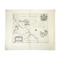
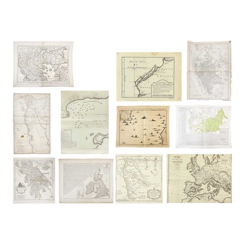
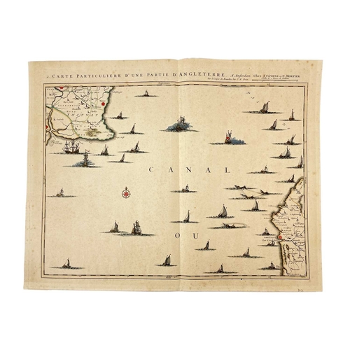
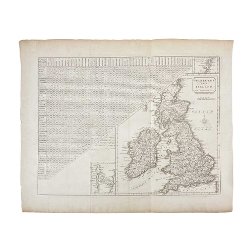
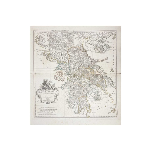
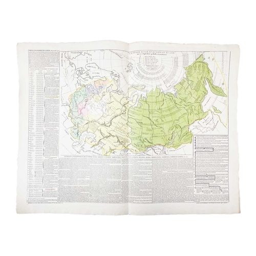
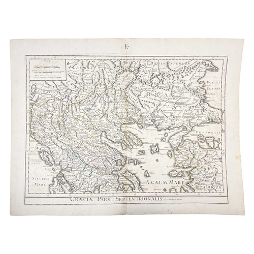
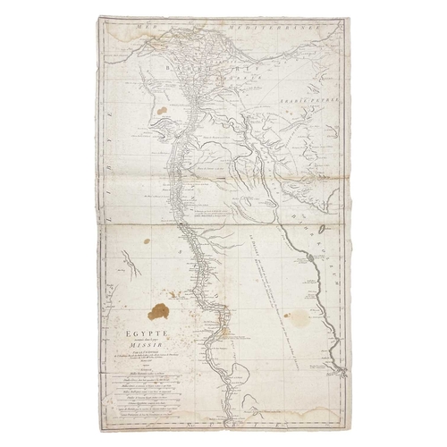
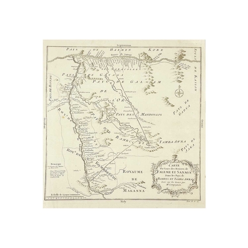
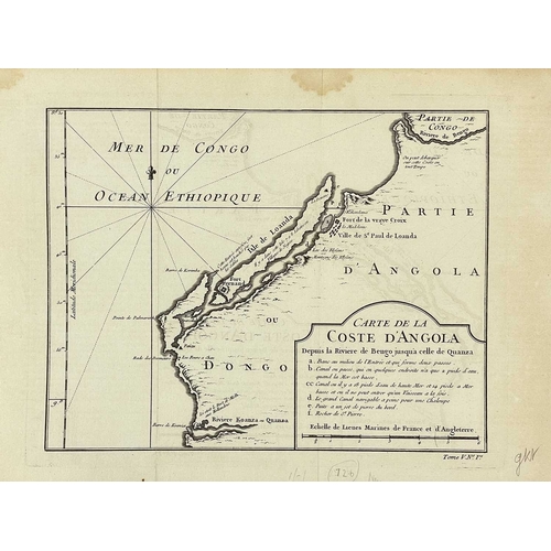
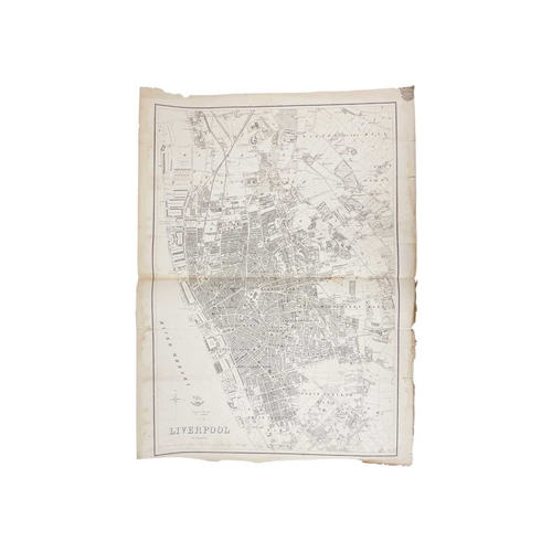
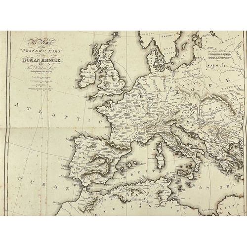
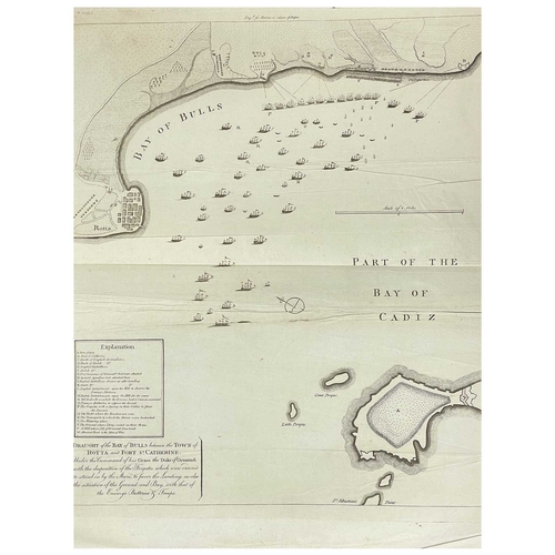
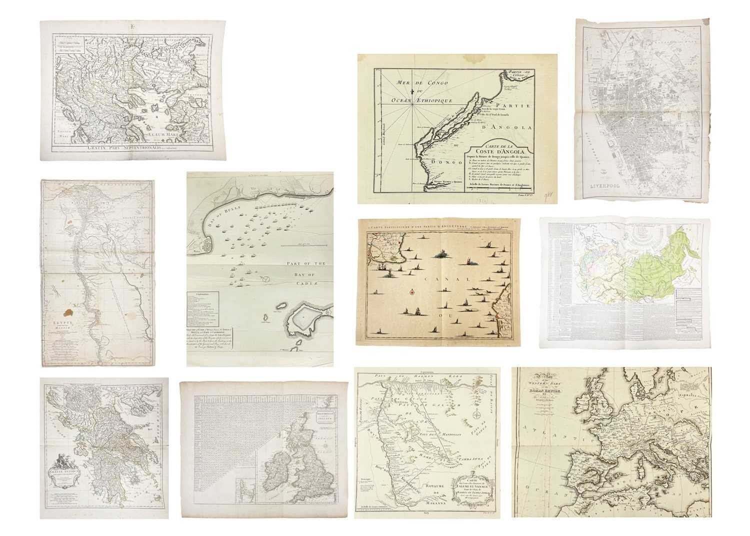
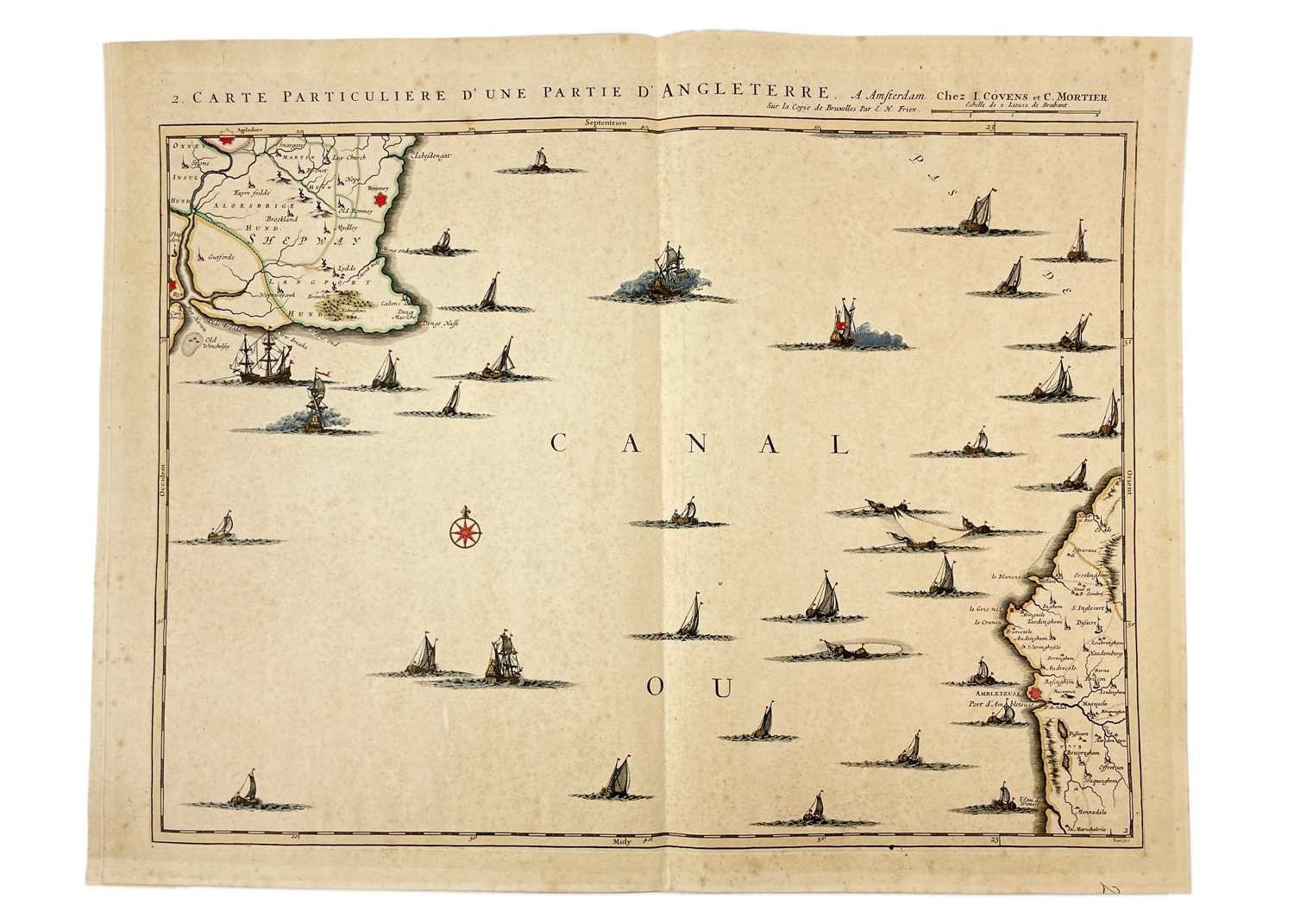
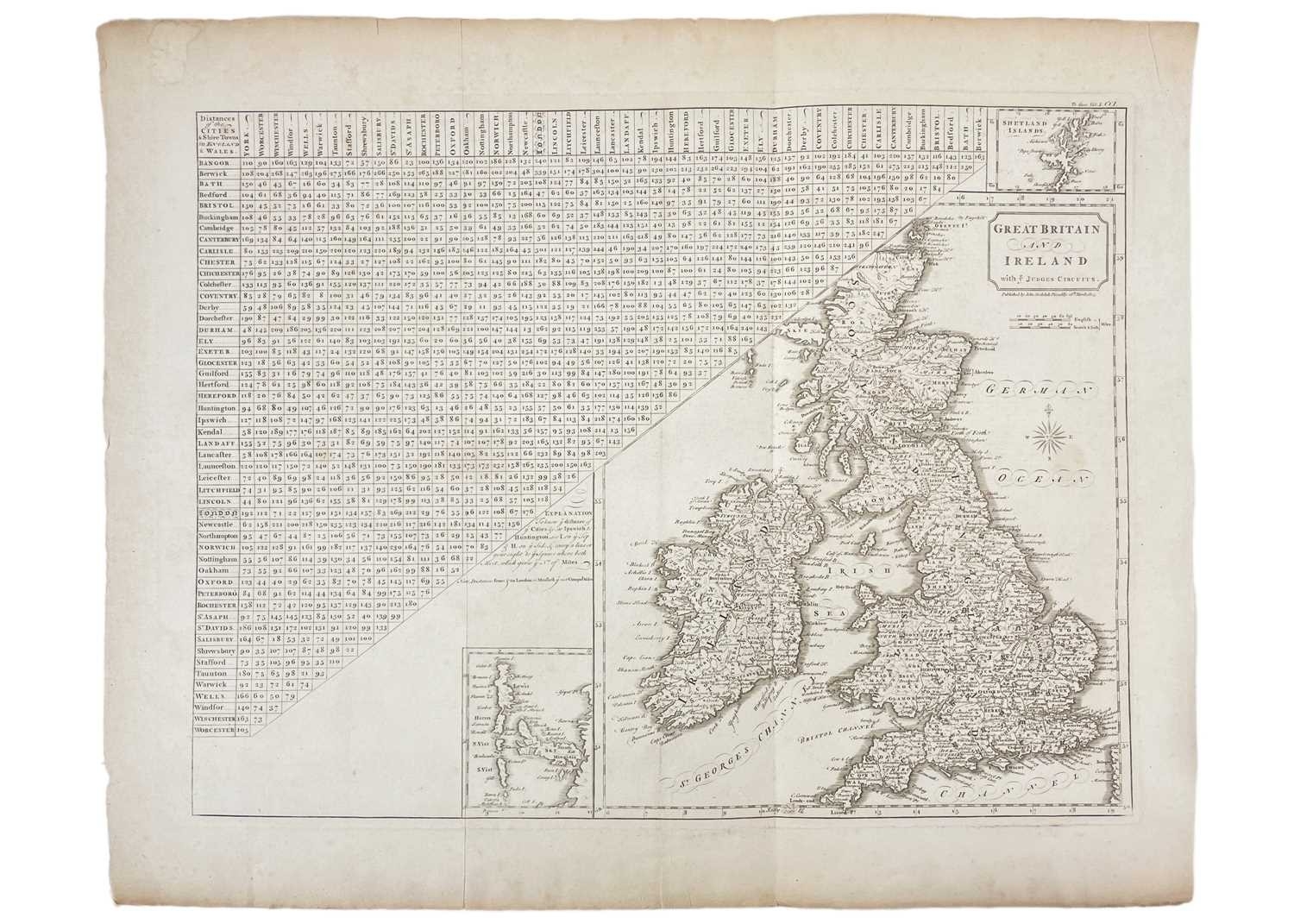
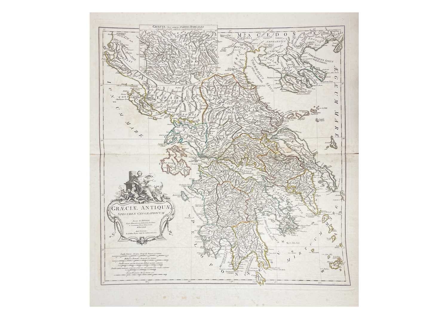
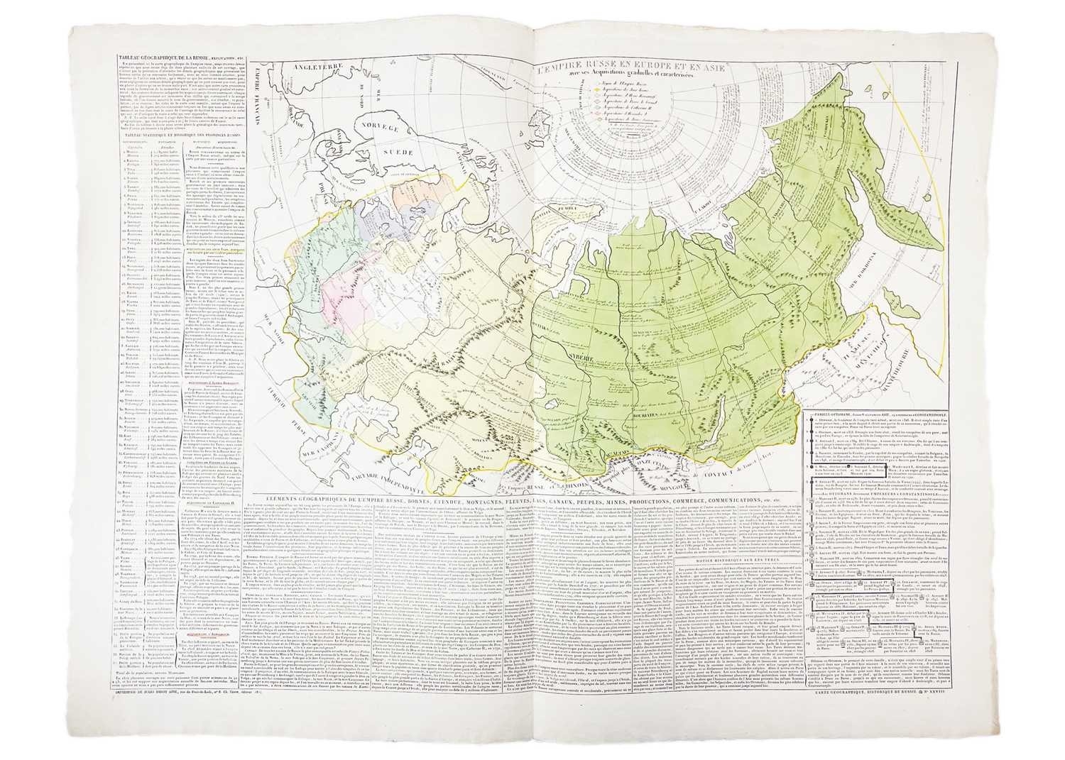
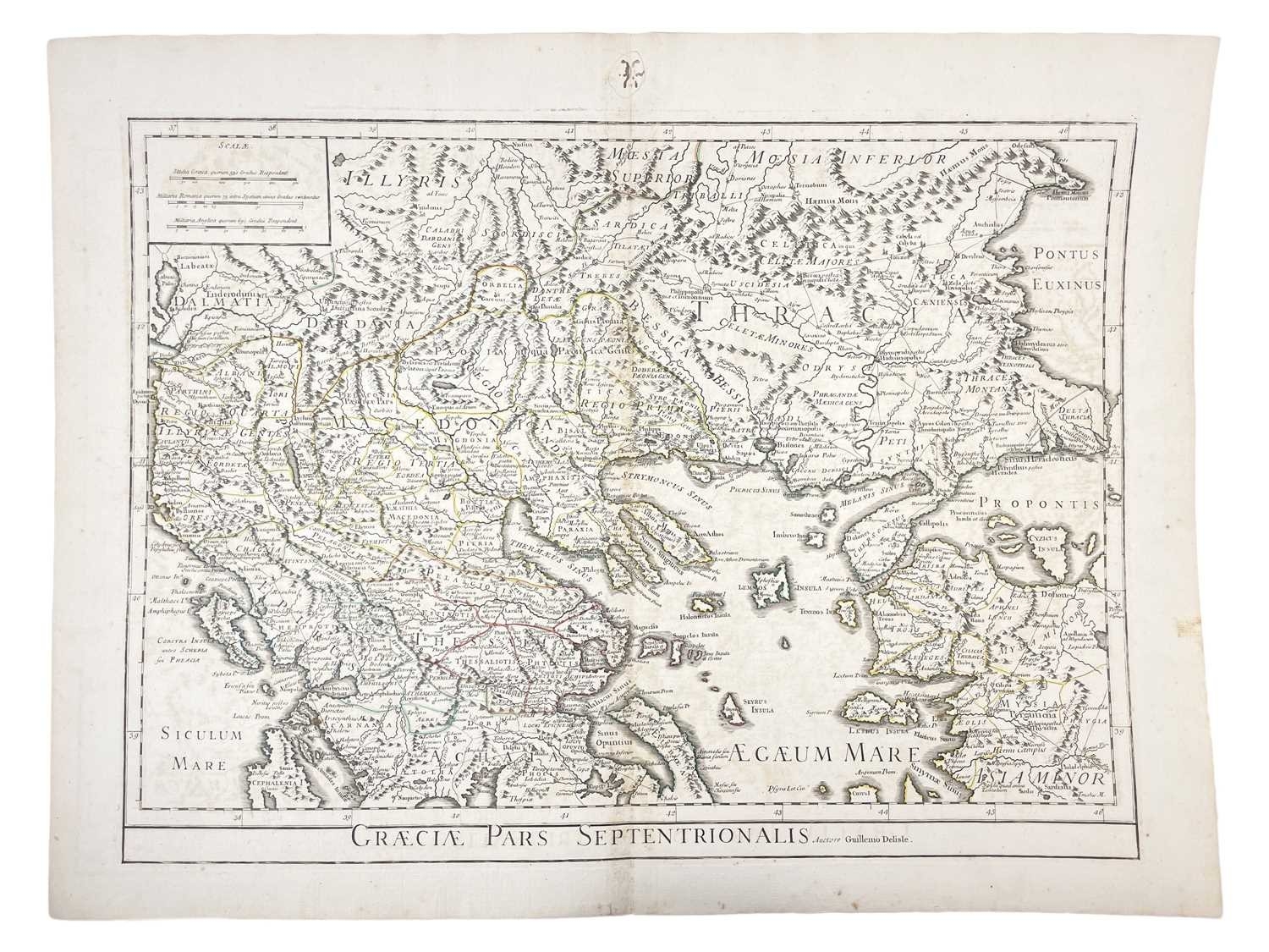
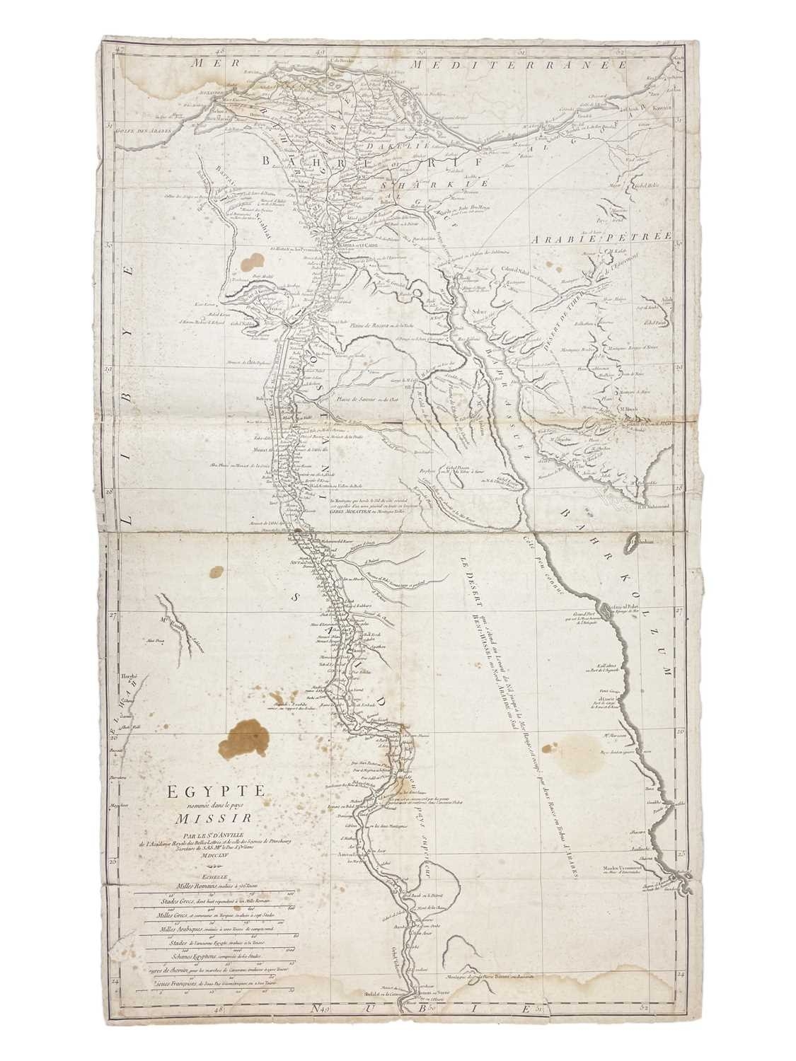
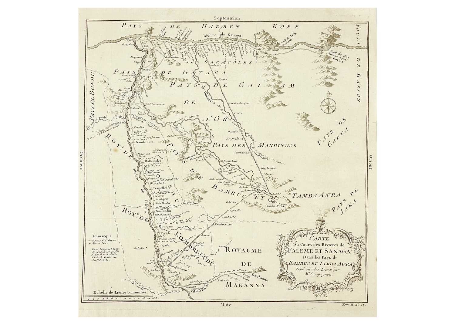
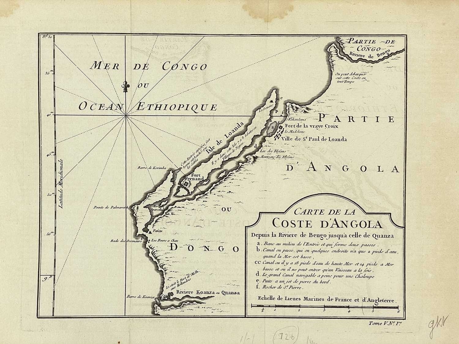
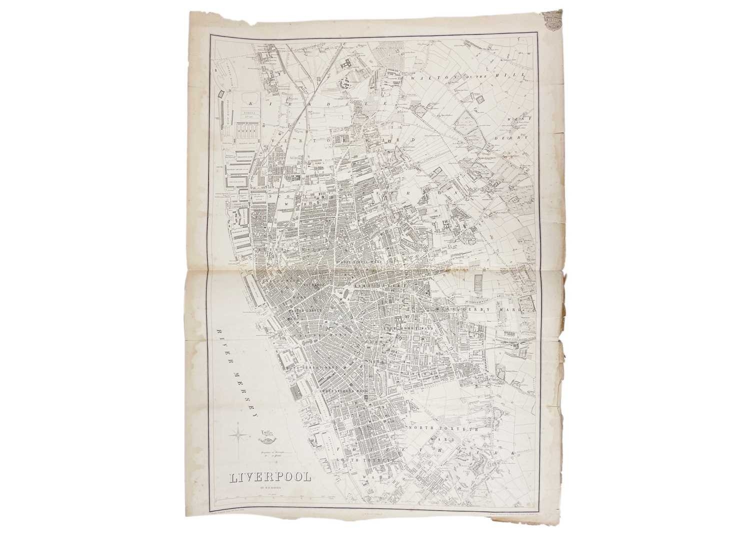
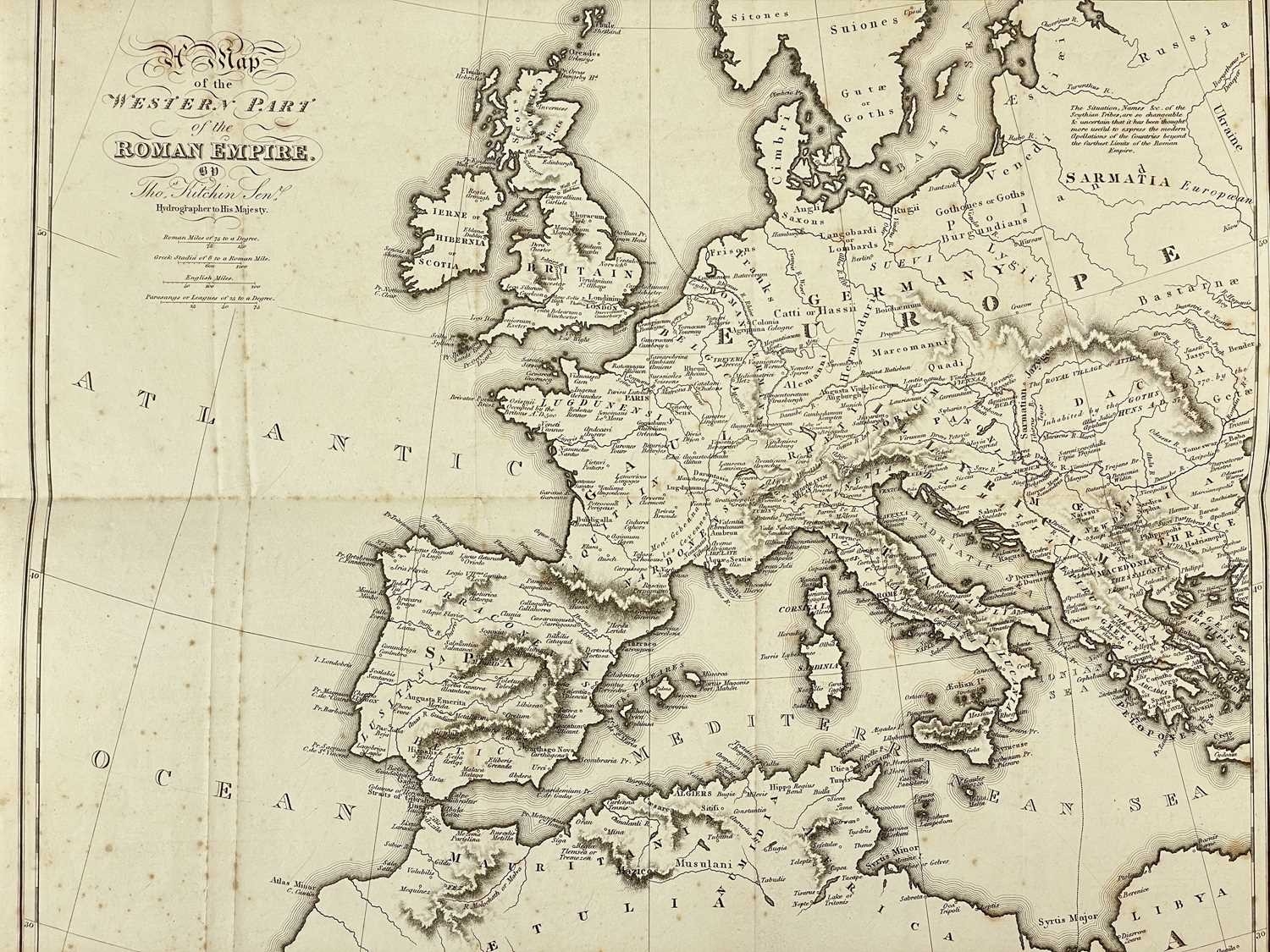
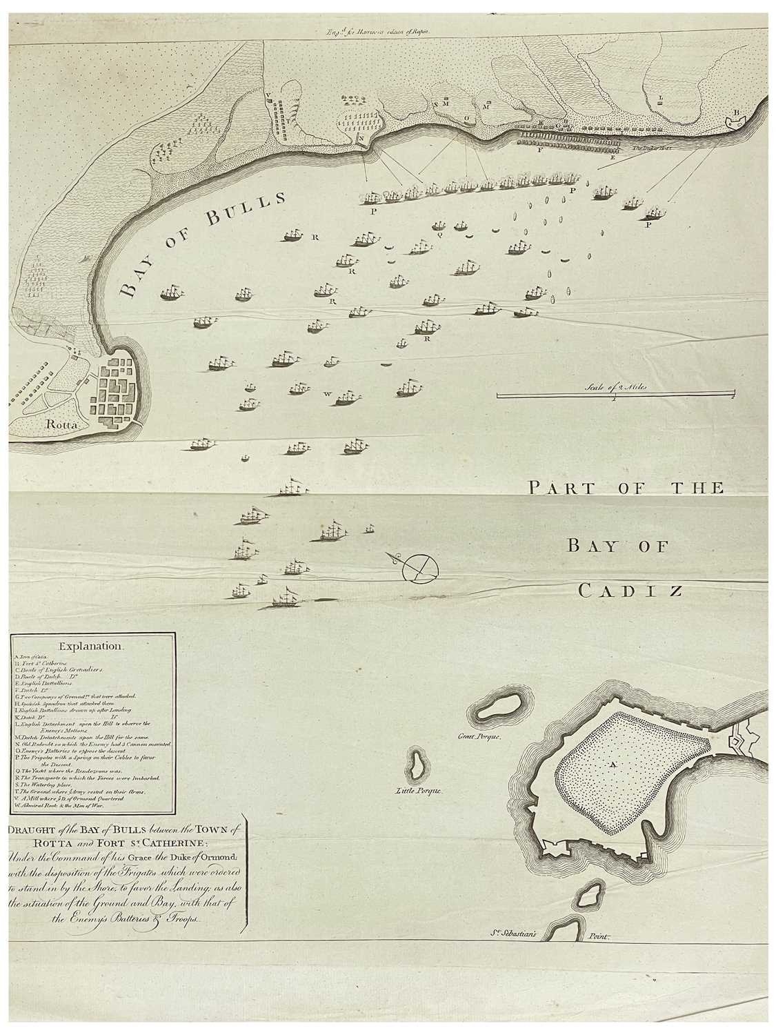
Eighteenth Century Maps Eleven Thomas Kitchen. 'A Map of the Western Part of the Roman Empire,' uncoloured copper engraved, folds, spotting, 1815; 'Carte De La Coste D'Angola,' uncoloured; 'Carte Du Cours des Rivieres de Faleme et Sanaga....,' uncoloured; 'Liverpool' by B. R. Davis, folded, nibbles to edges, R. Weller Lithograph; 'L'Empire Russe en Europe et en Asie,' surrounding letterpress explanatory text (in French) includes information about geography, history, genealogy, religion, etc, centre fold, vg, P. Didot, 1806; 'Great Britain and Ireland with Judges Circuits,' uncoloured, centre fold, vg, John Stockdale, London, 1805; Fricx Henri 'Carte Particular D'Une Partie D'Angleterre,' partially coloured, centre fold, spotting, thought to be published by Covens & Mortier, circa 1720; Guillemo Delisle. 'Graeciae Pars Septen Septentrionalis,' uncoloured, wormholes to head centre fold in the margin, 1708; D'Anville. 'Graeciae Antiquae Specimen Geographicum,' uncoloured, centre fold, spotting to margins, , Complete Body of Ancient Geography, Laurie and Whittle, London, [c.1795]; 'Part of the Bay of Cadiz,' uncolloured, fold lines, engraved for Harrisons edition of Rapin, [c.1785]; Plus one other. (11)
Fees apply to the hammer price:
Free Registration
28.8% inc VAT*
Flat Fee Registration
25.20% inc VAT*