£300
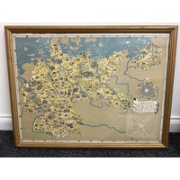
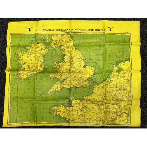
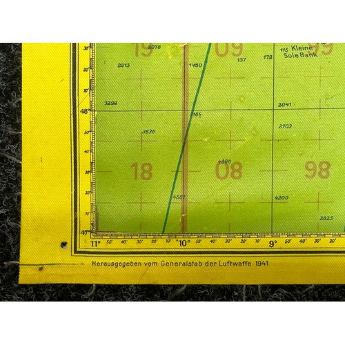
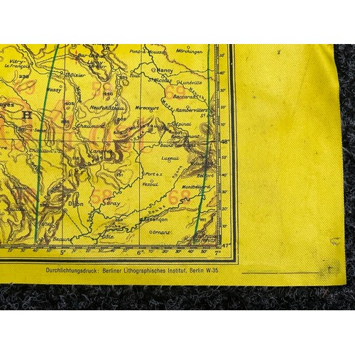
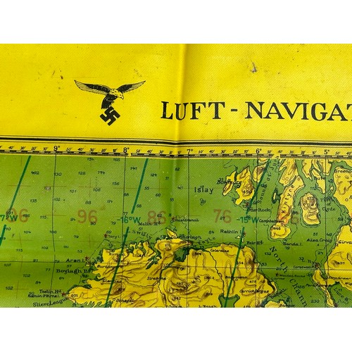
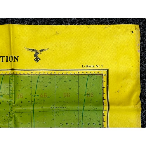
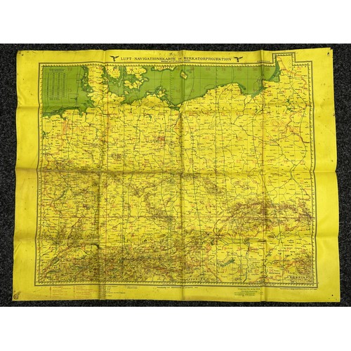
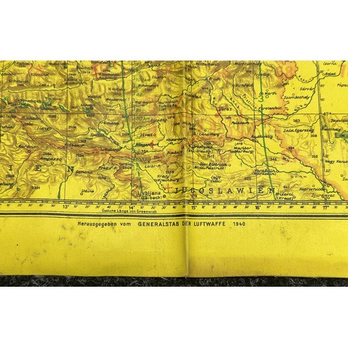
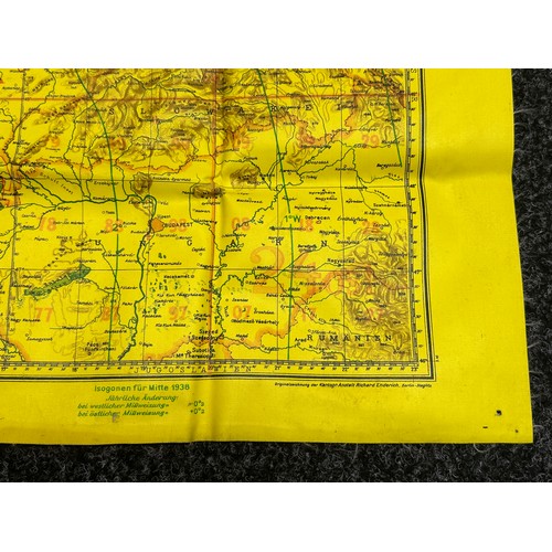
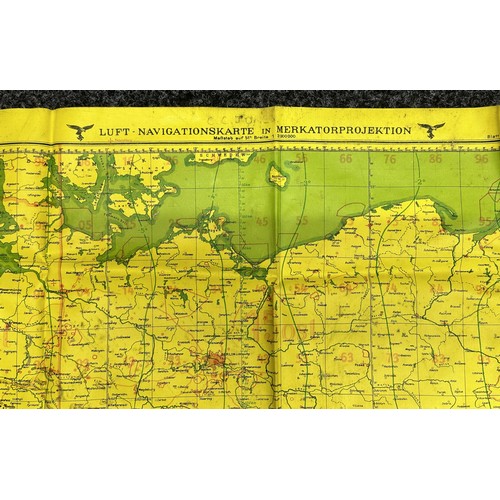
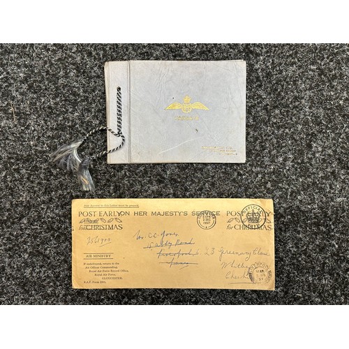
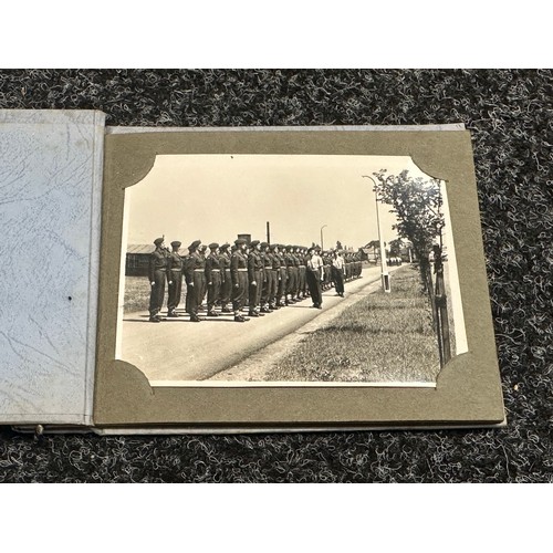
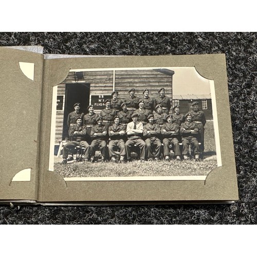
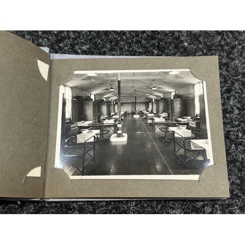
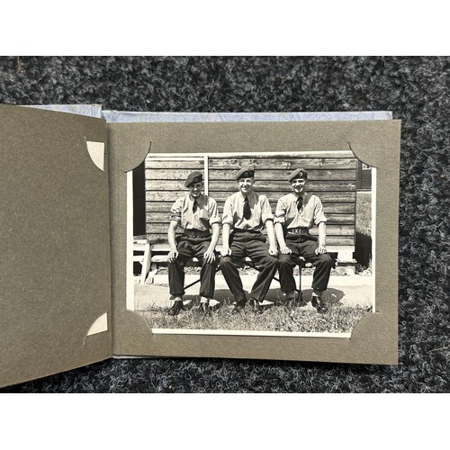
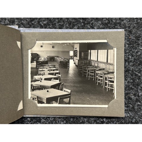
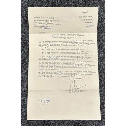
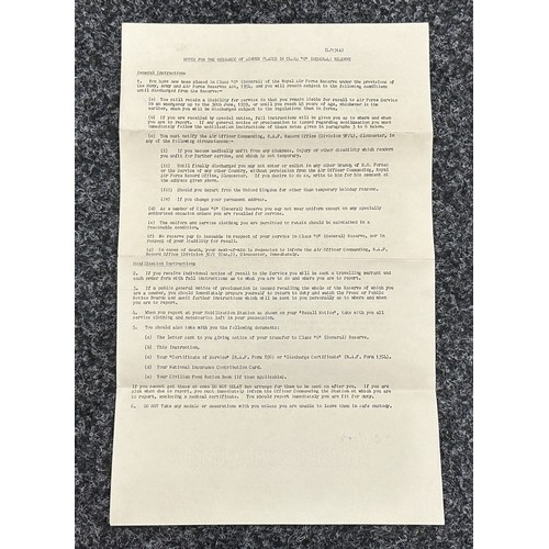
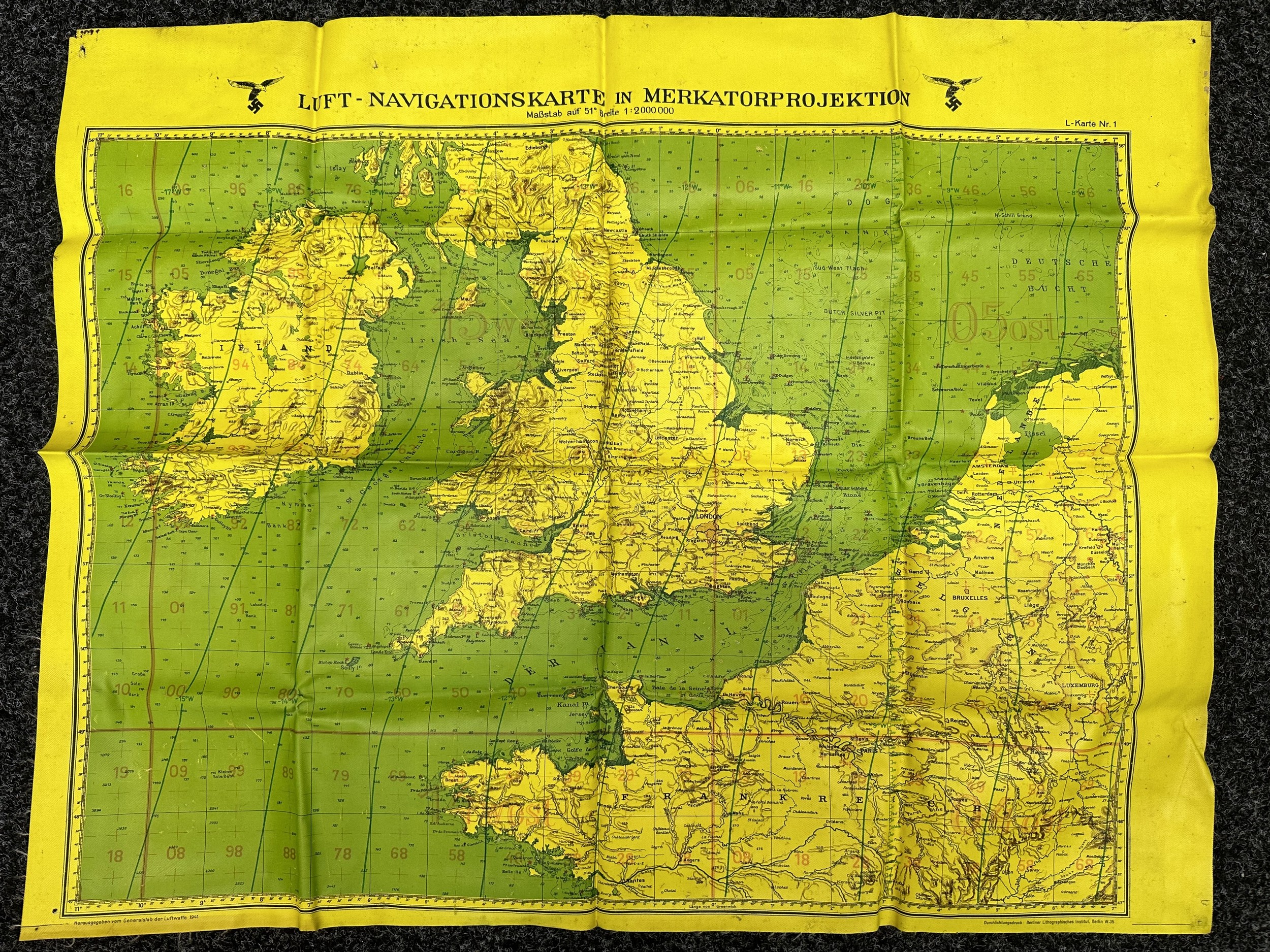
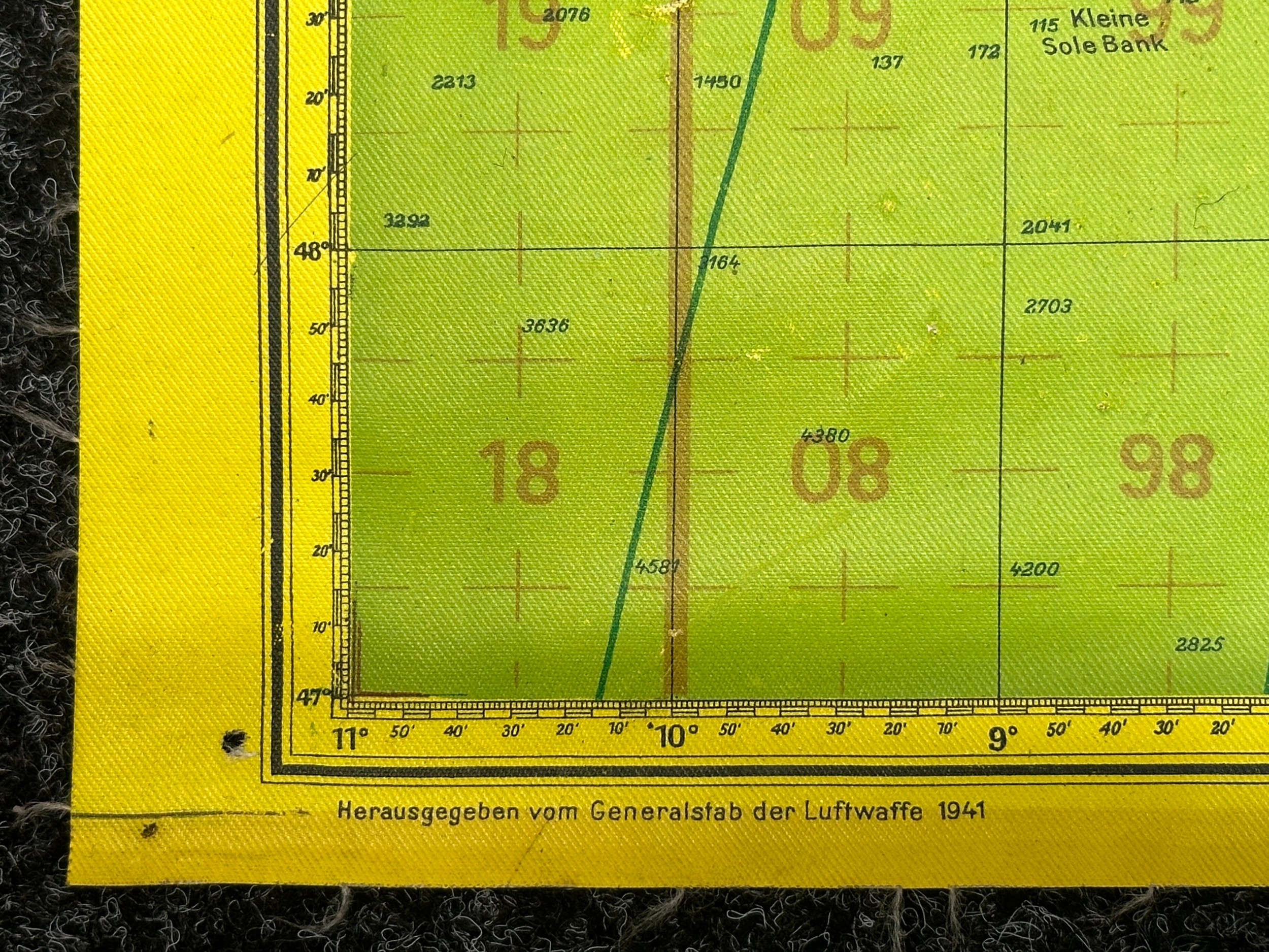
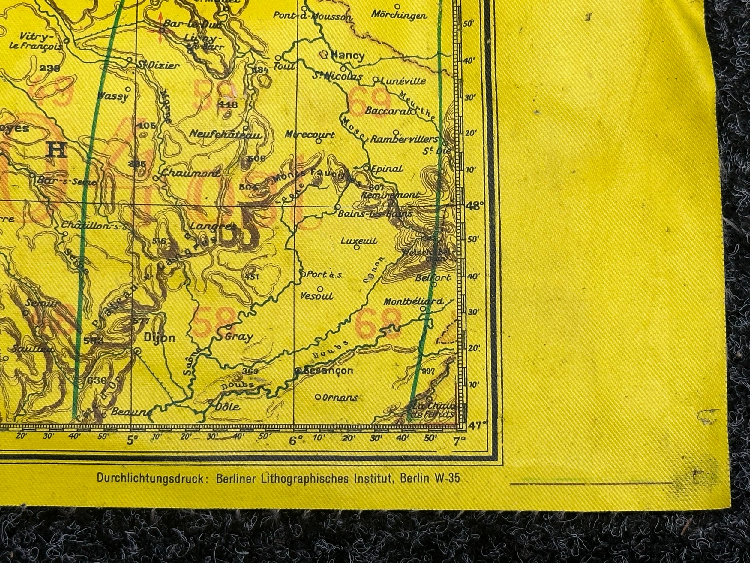
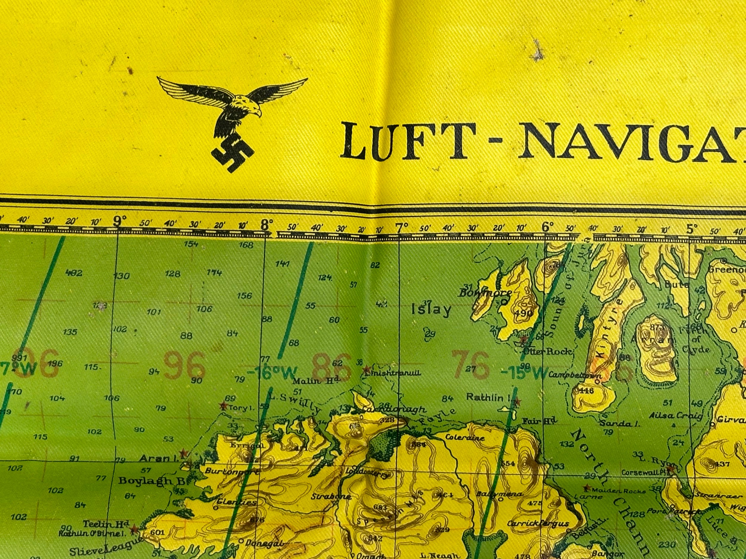
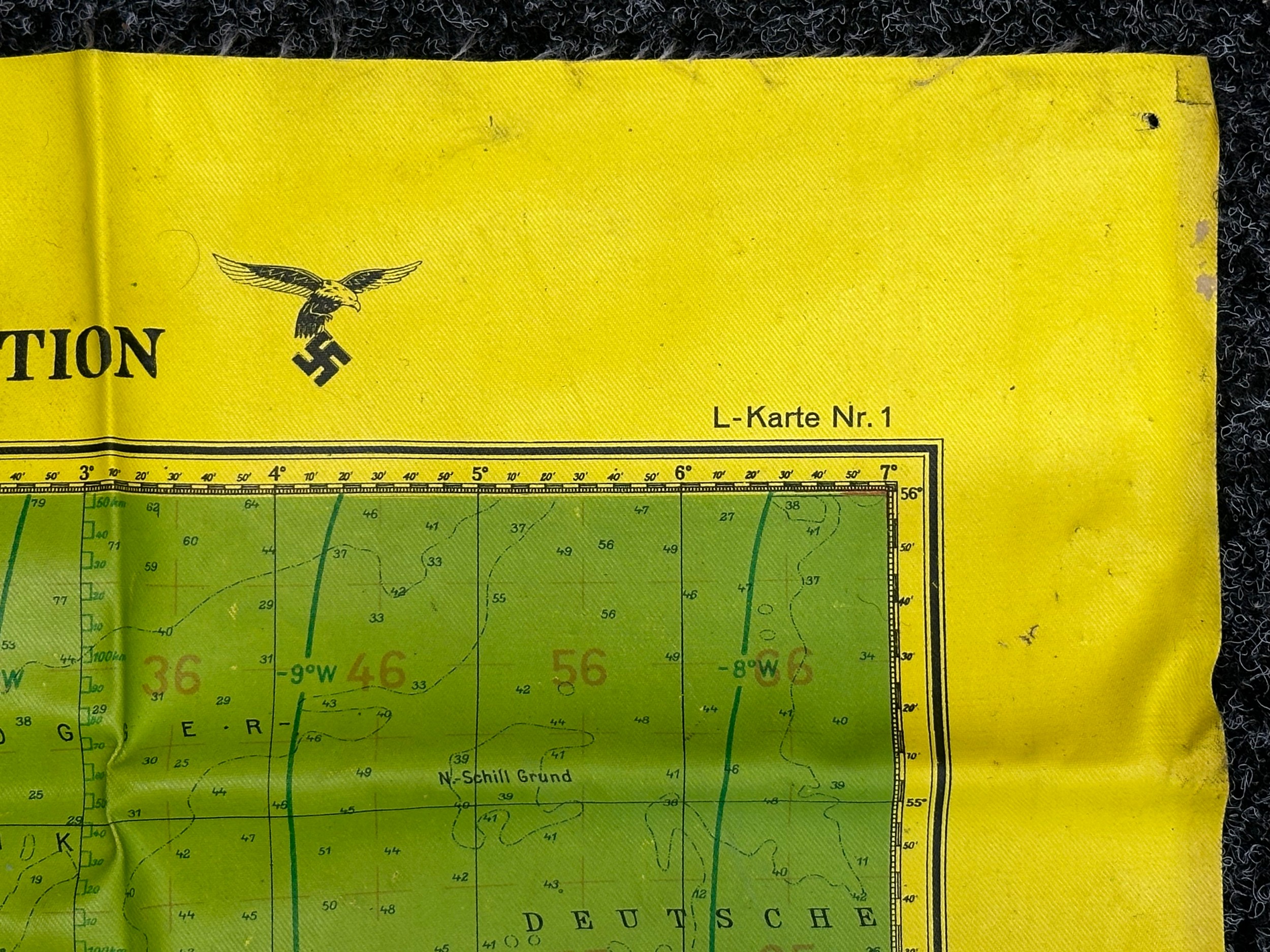
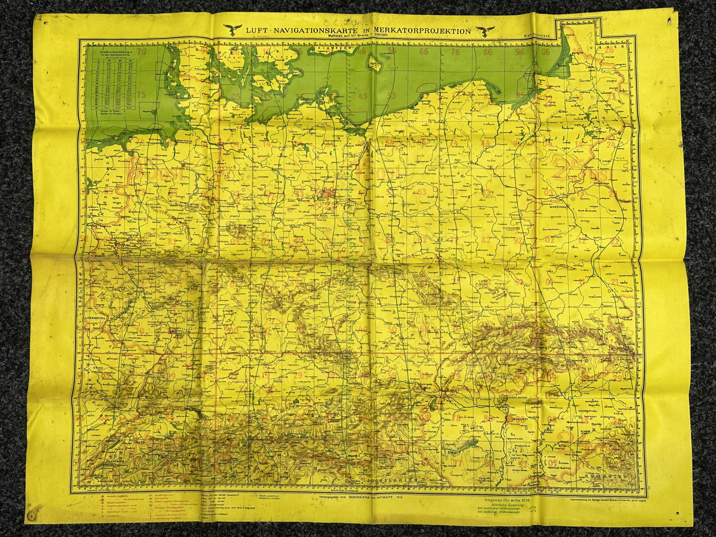
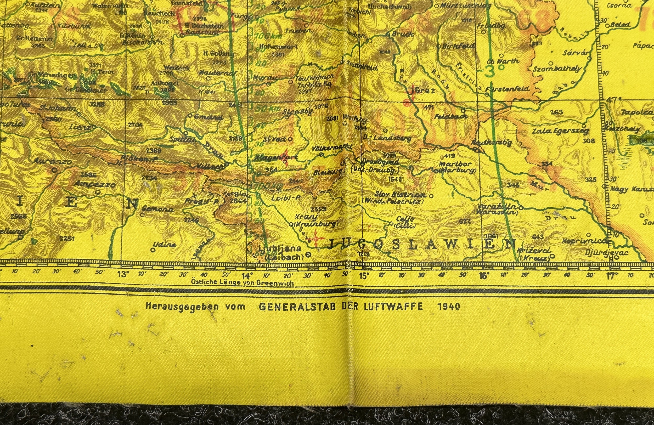
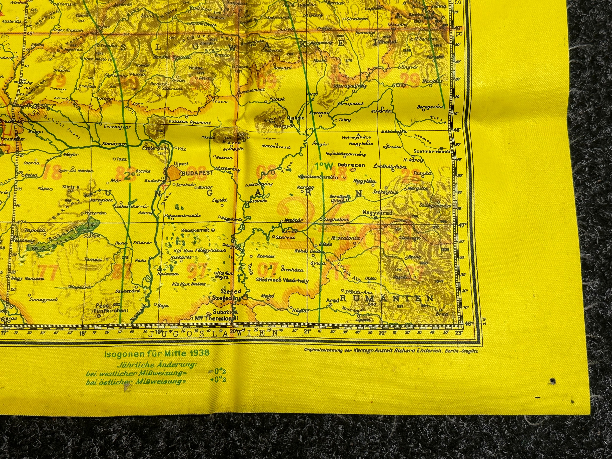
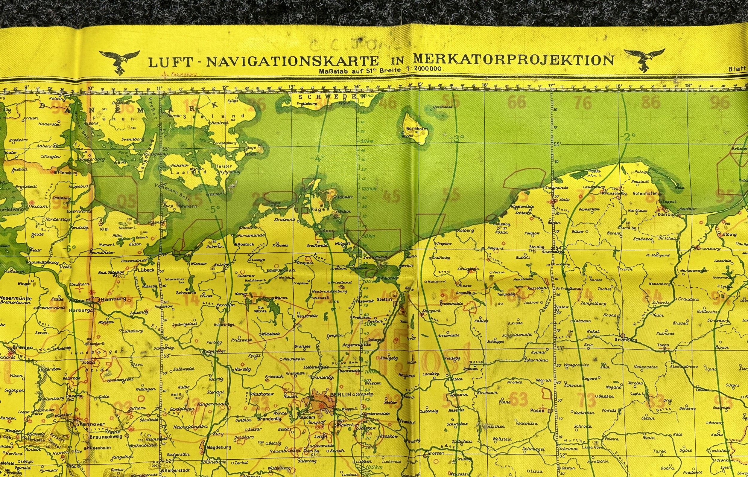
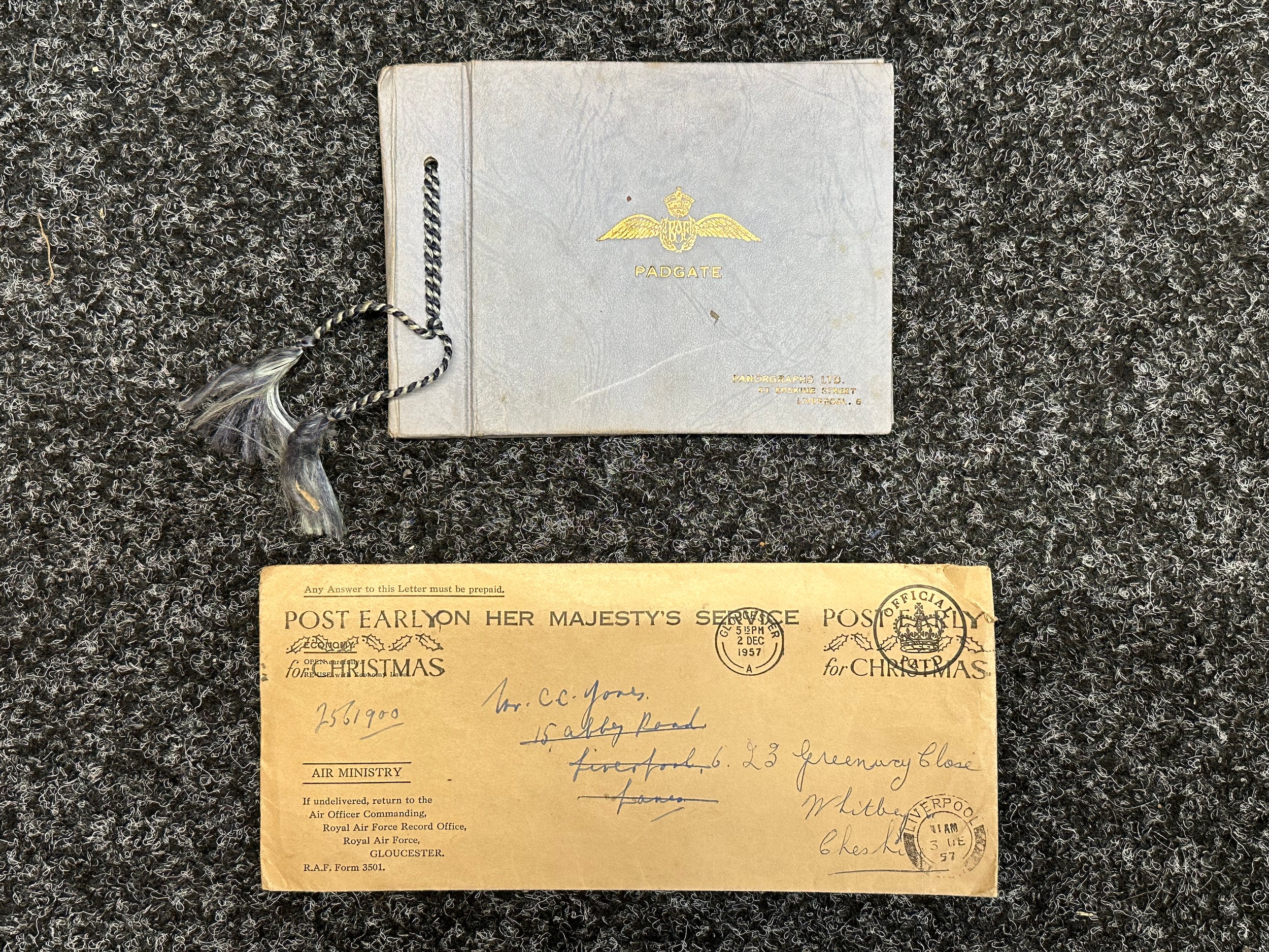
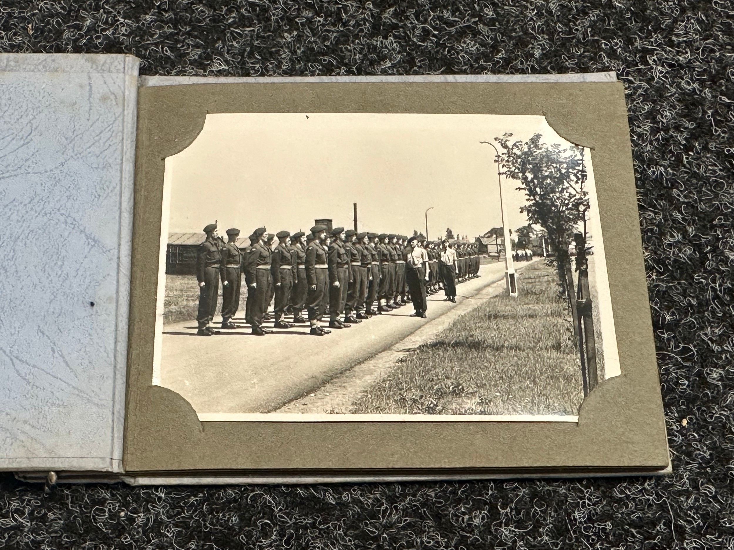
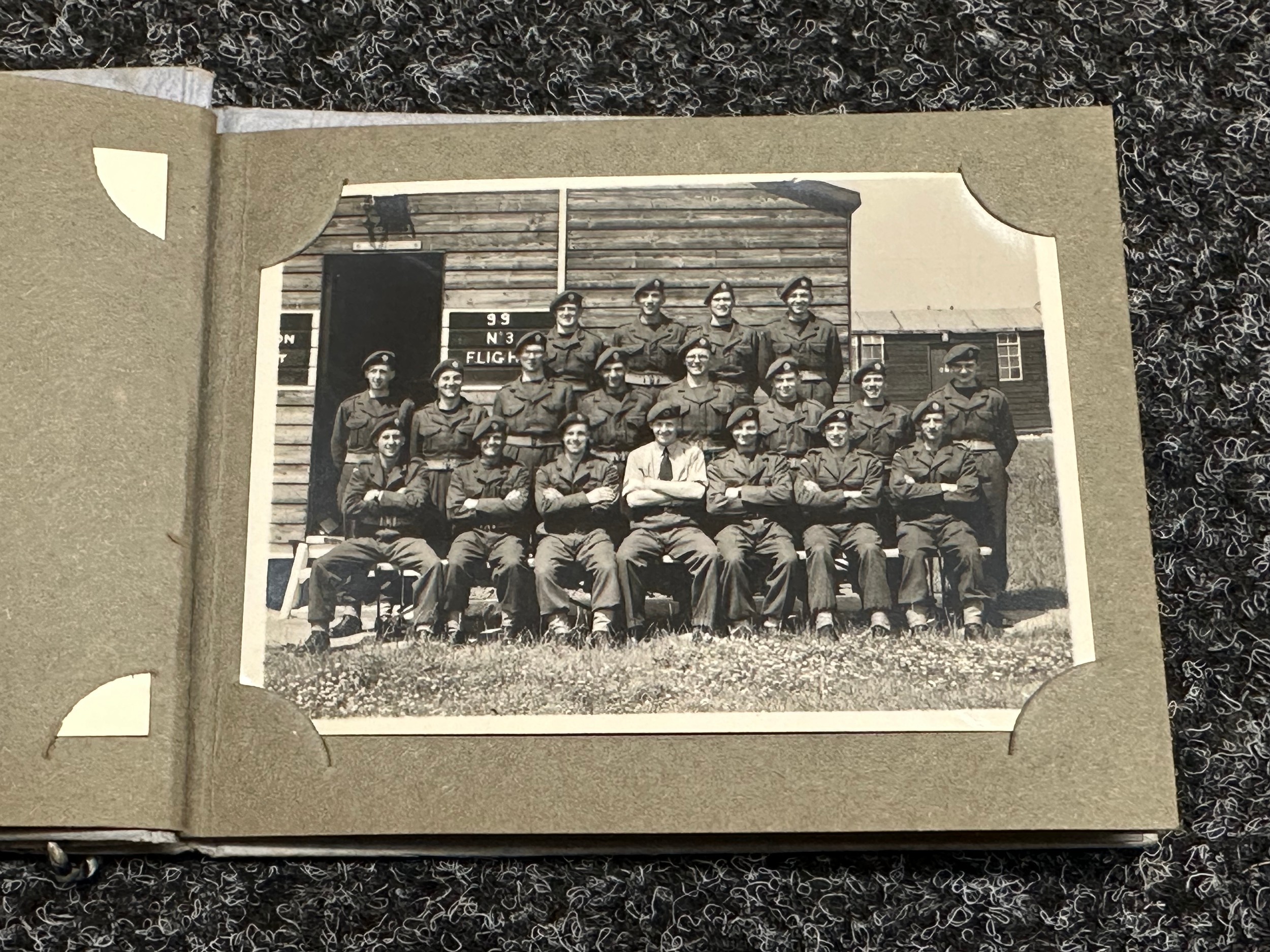
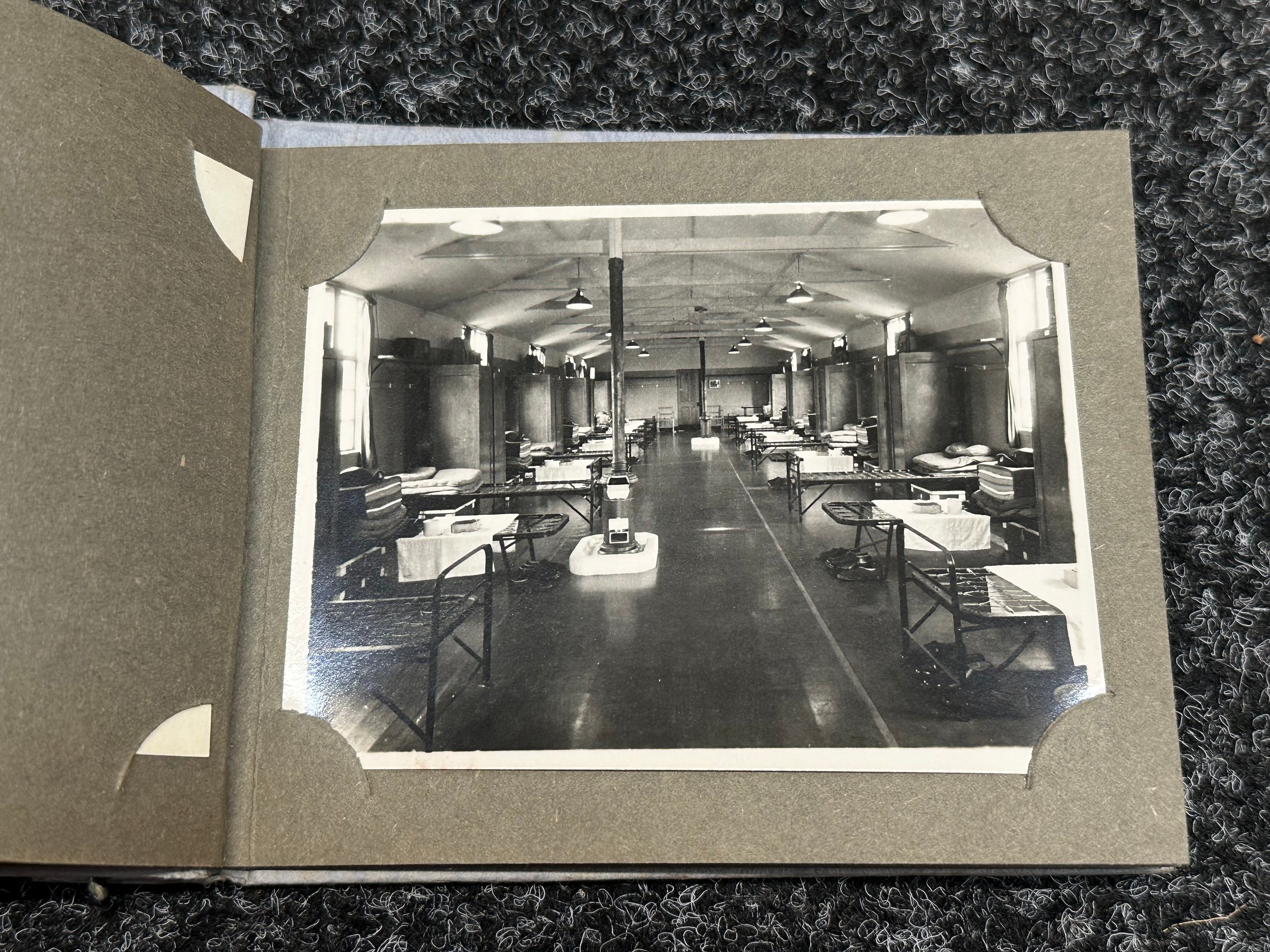
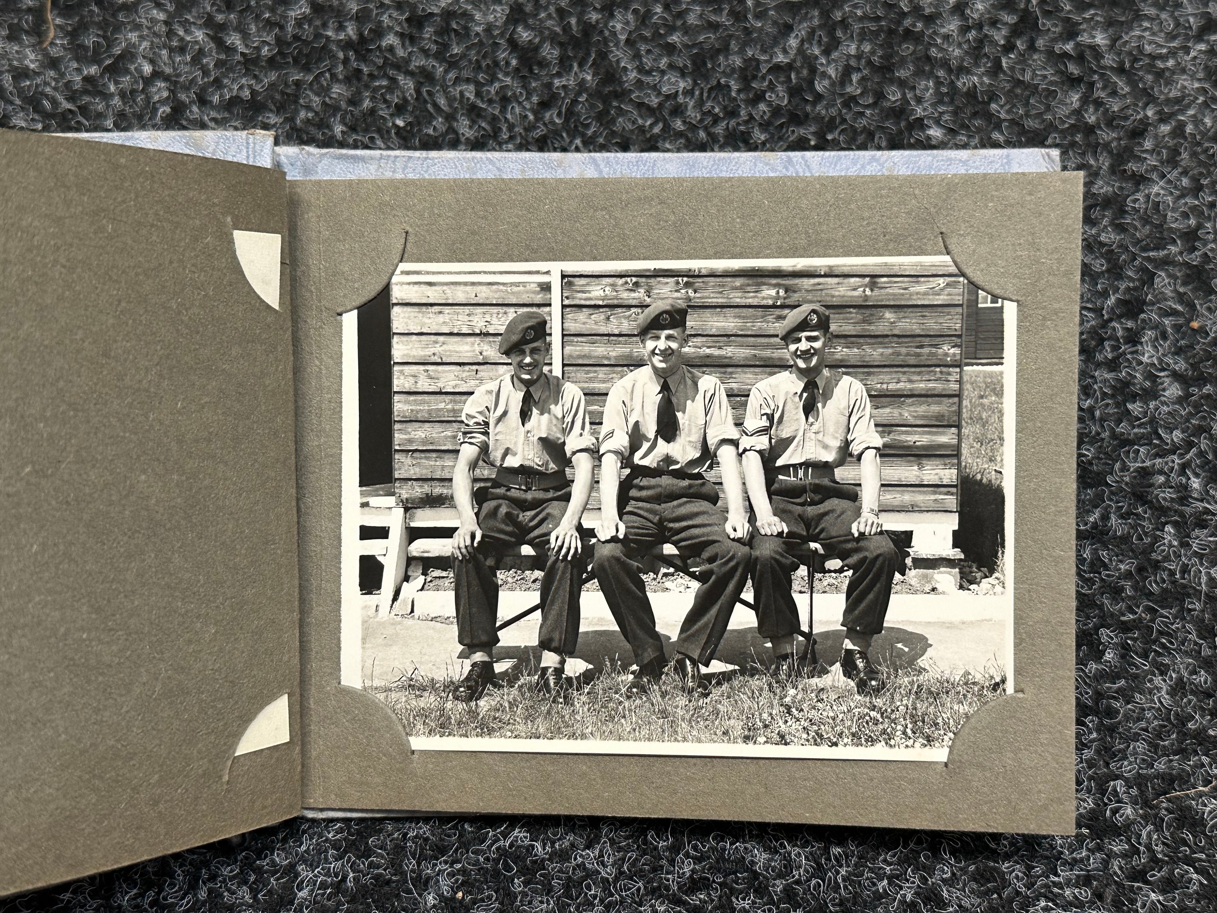
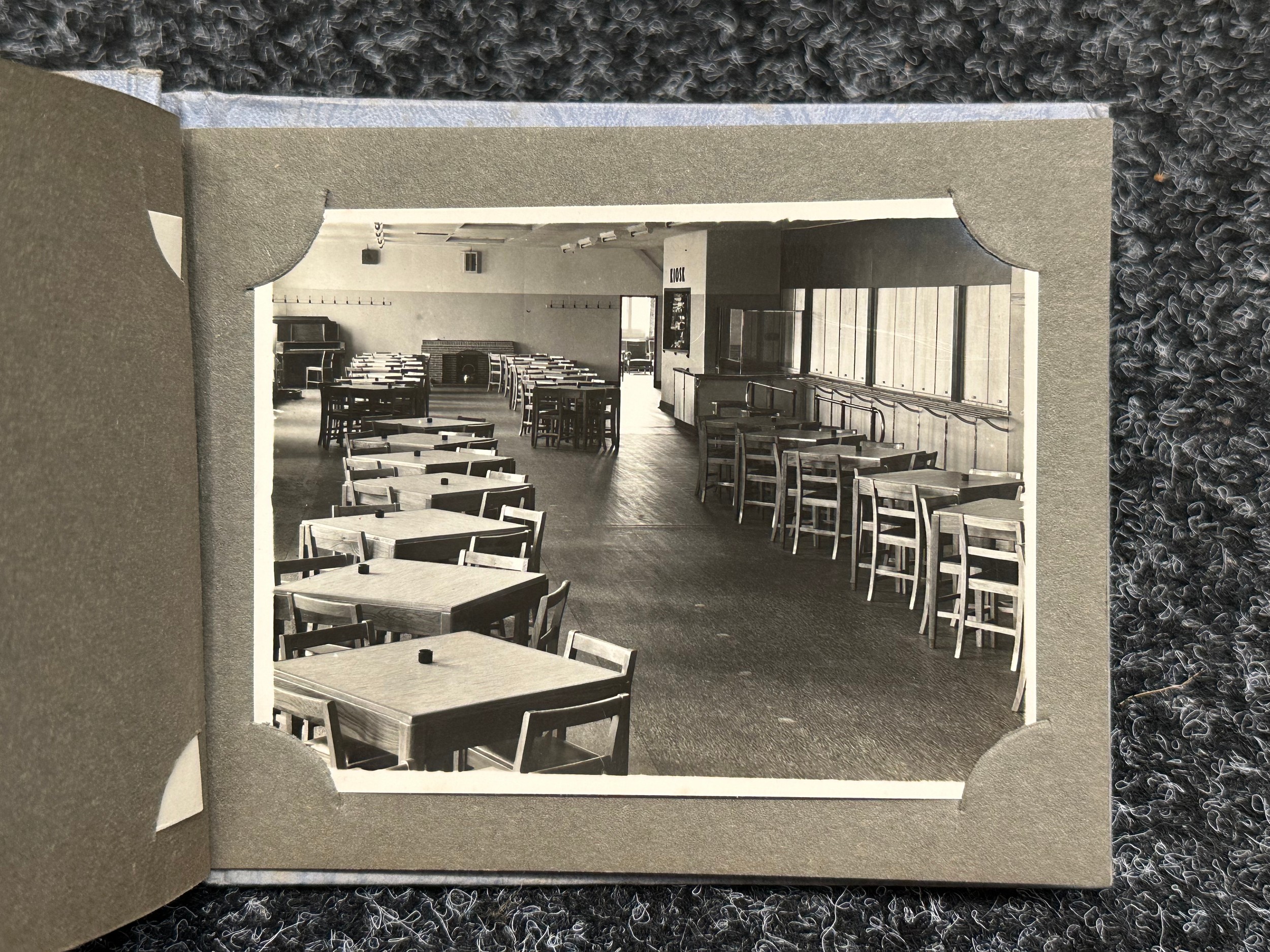
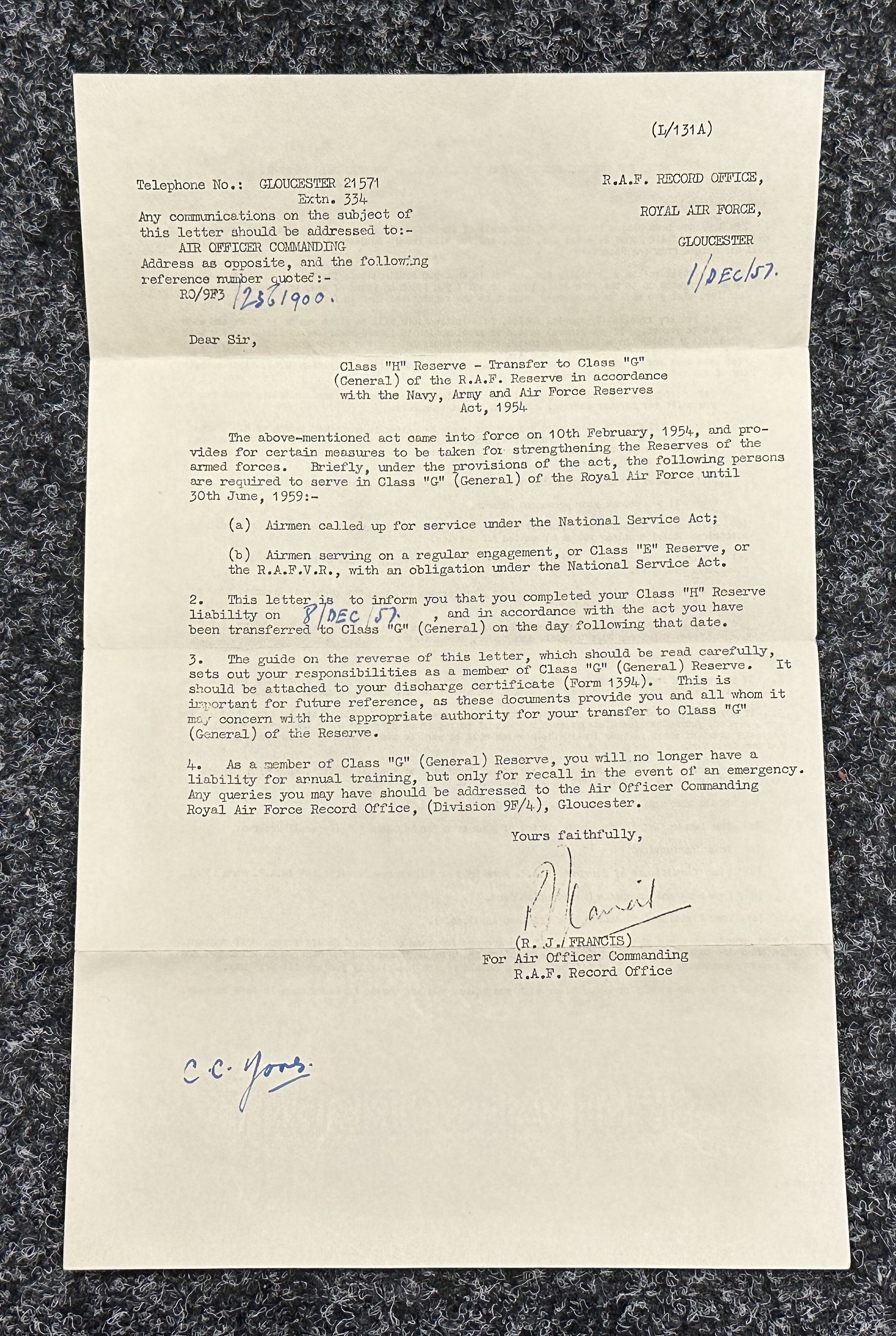
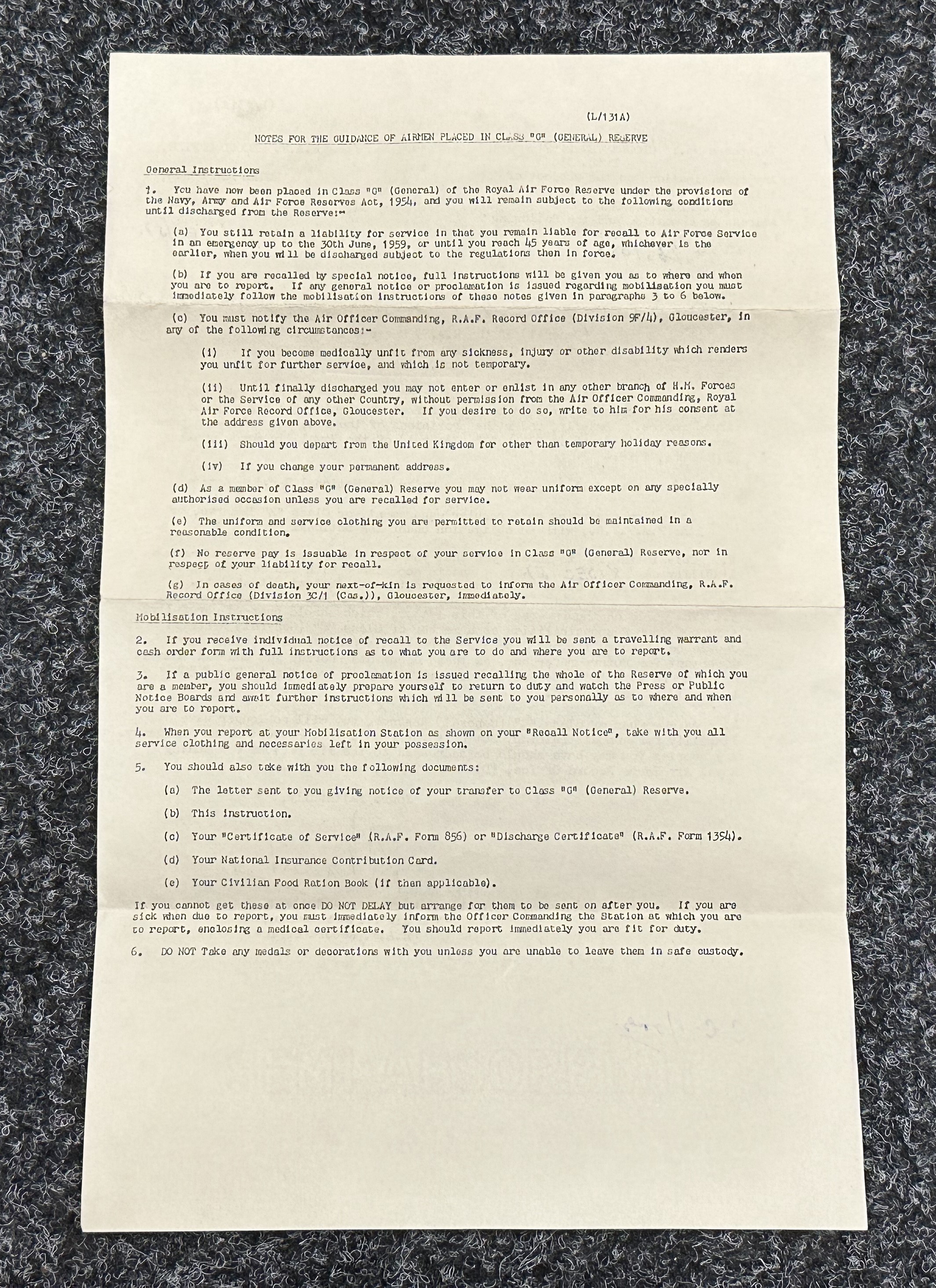
WW2 Third Reich Luftwaffe Navigationskarte L-Karte Nr.1 map of England and Germany. Size 735mm x 579mm. Yellow Oilcloth. Dated 1941. Obtained by a British RAF Airman post war along with his national service photos in a small pocket album and transfer letter (3)
Has pin holes at each corner and RAF man's name added in ink to the German side of the map.
Fees apply to the hammer price:
Free Registration
33.3% inc VAT*
Flat Fee Registration
29.70% inc VAT*