
£22
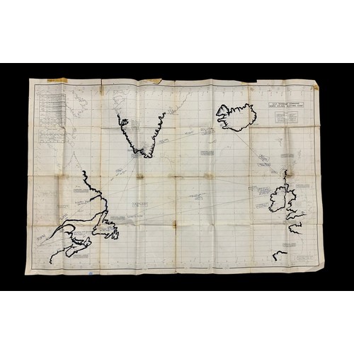
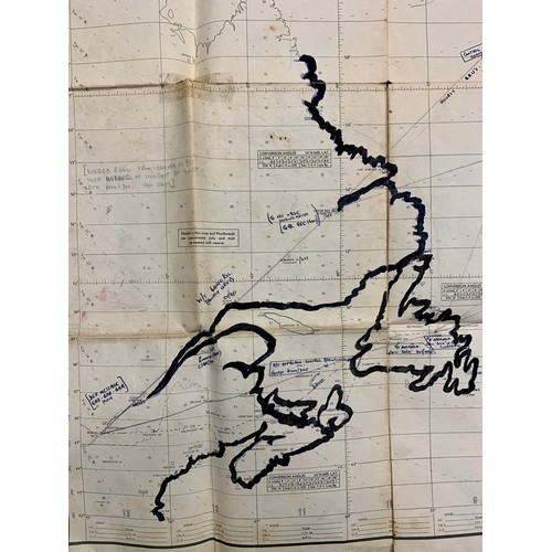
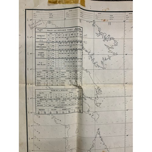
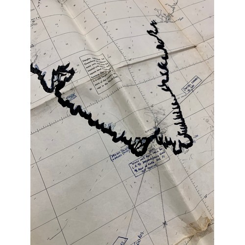
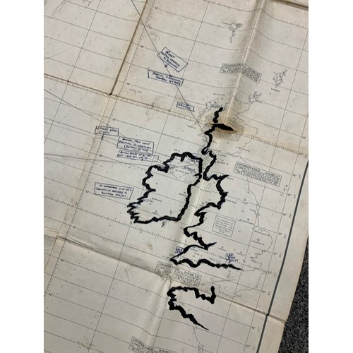
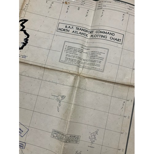
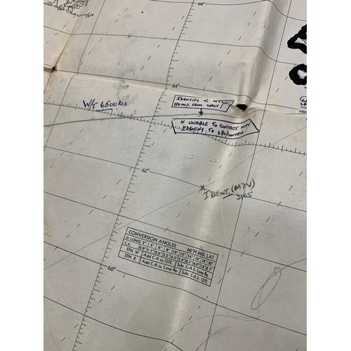
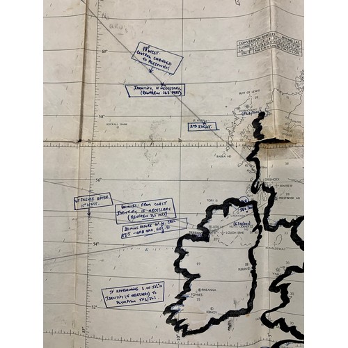
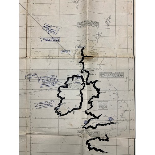
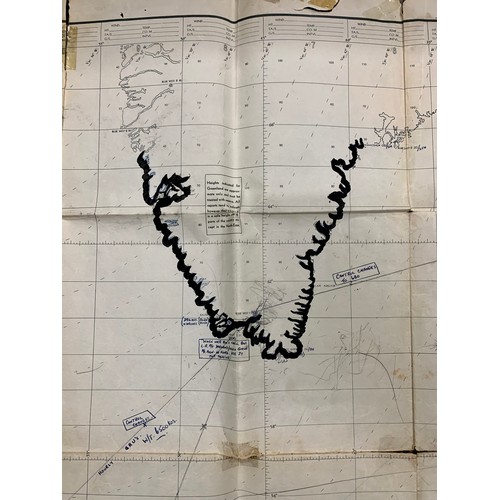
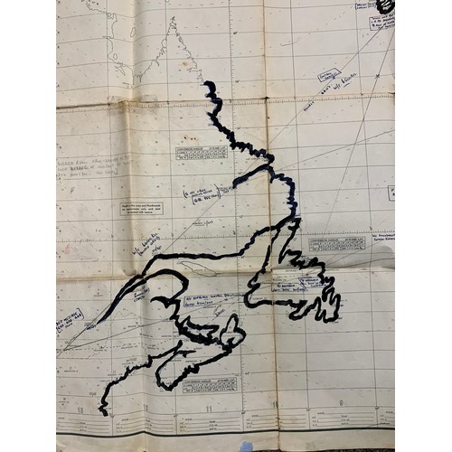
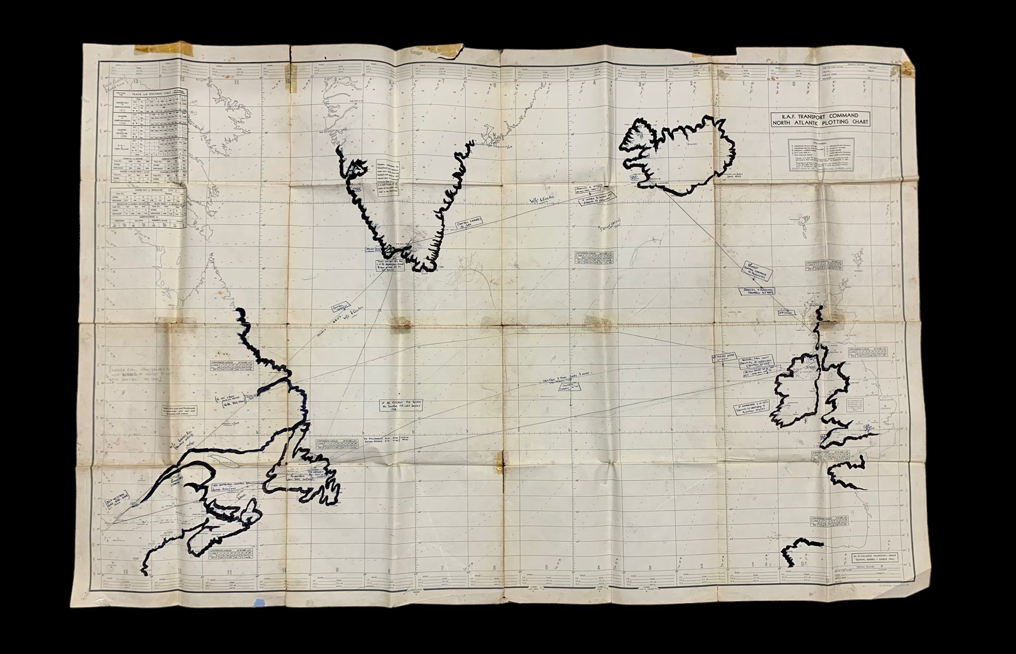
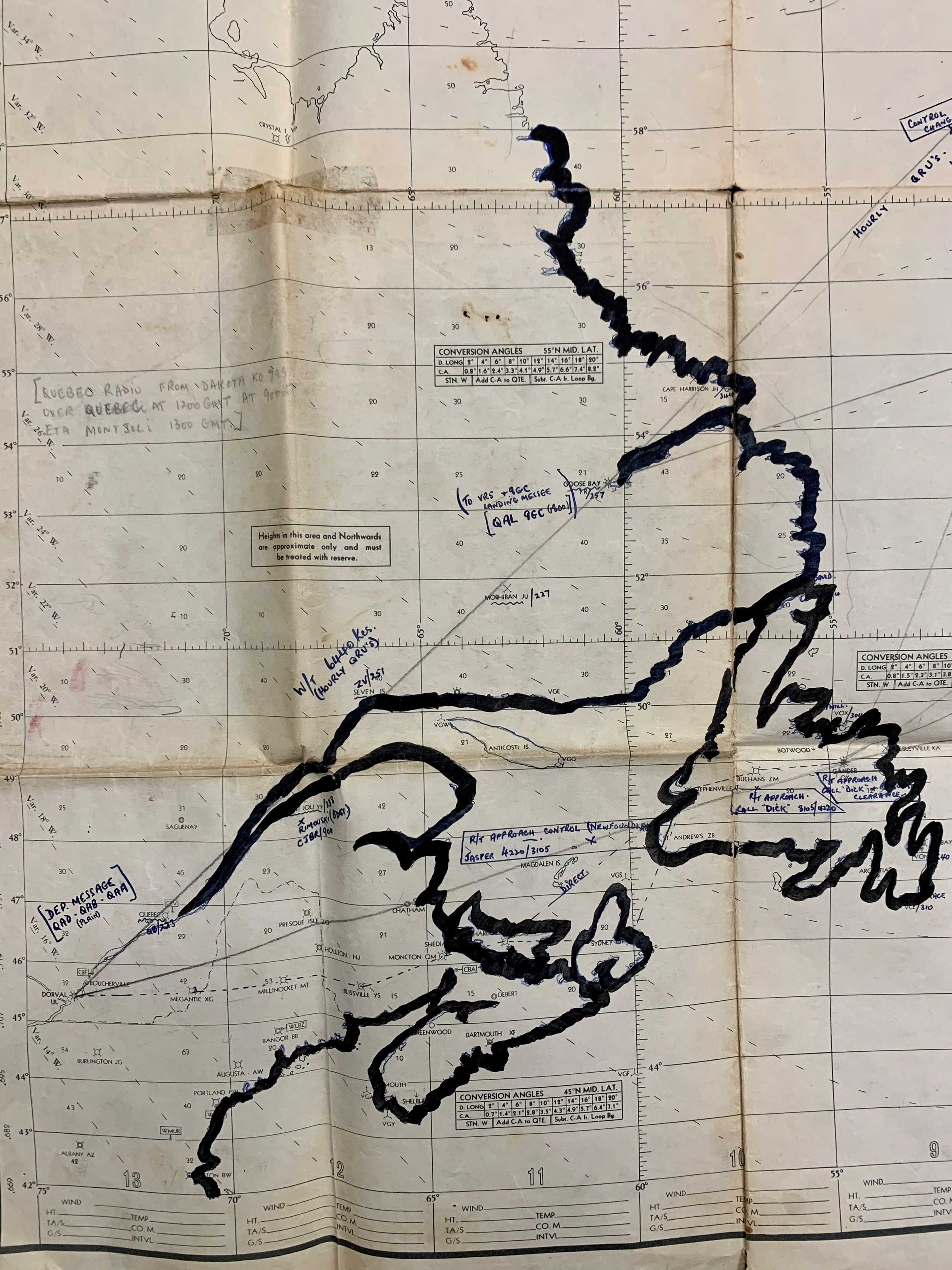
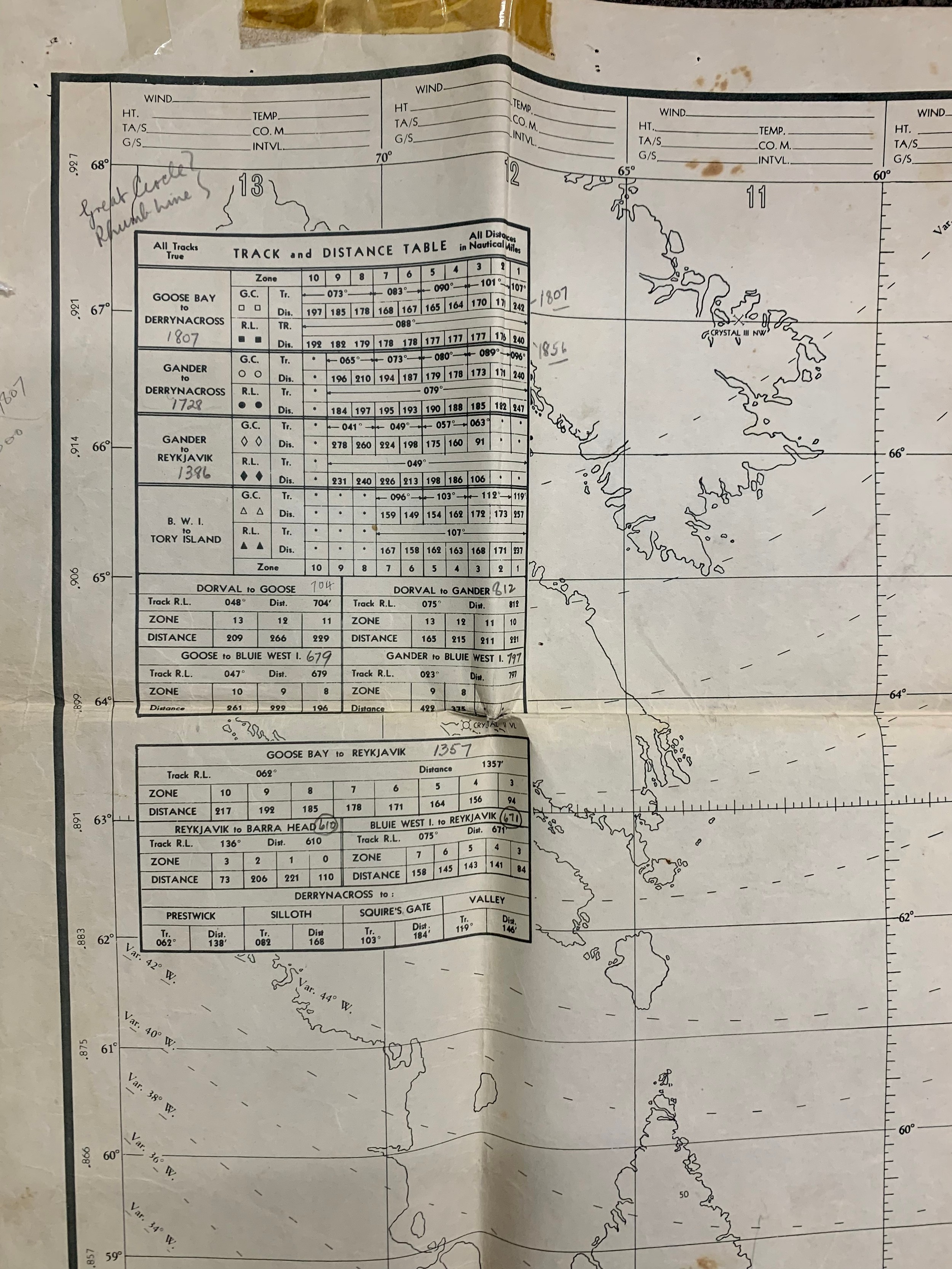
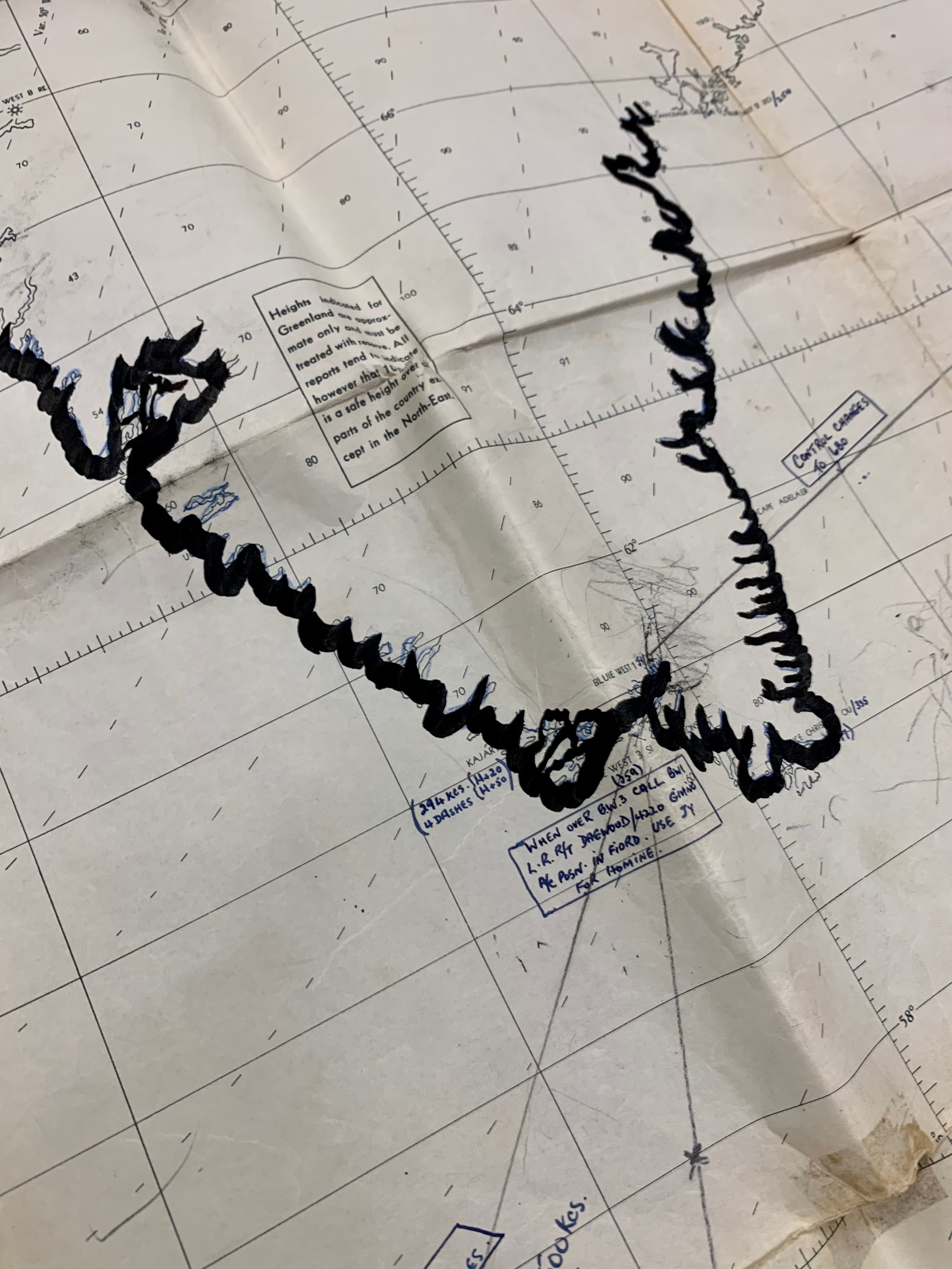
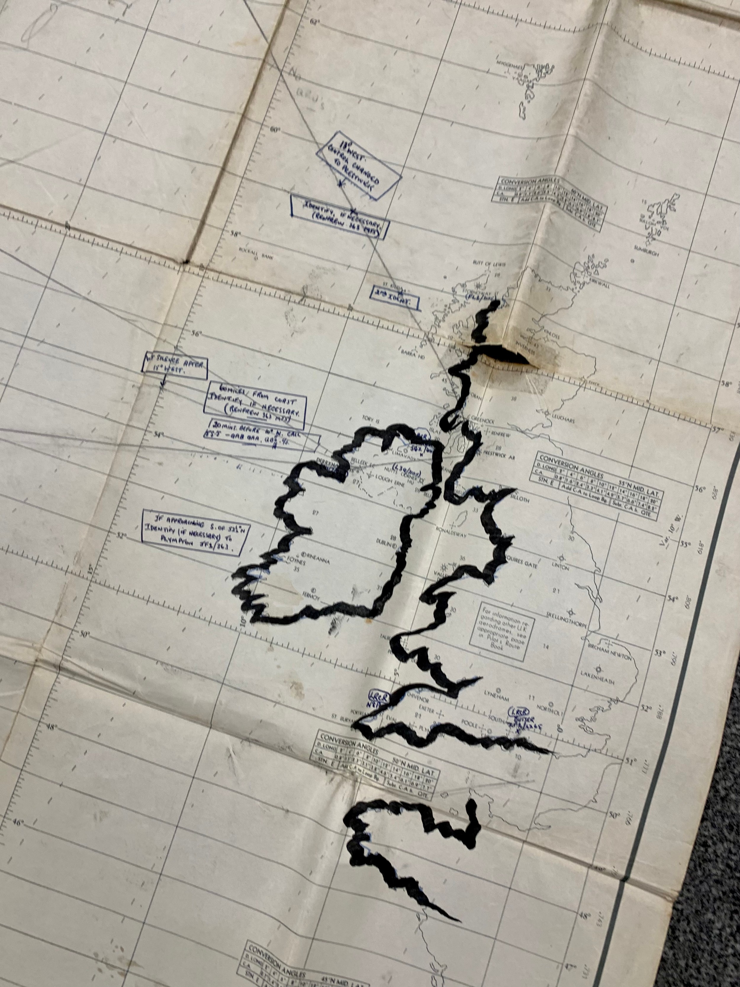
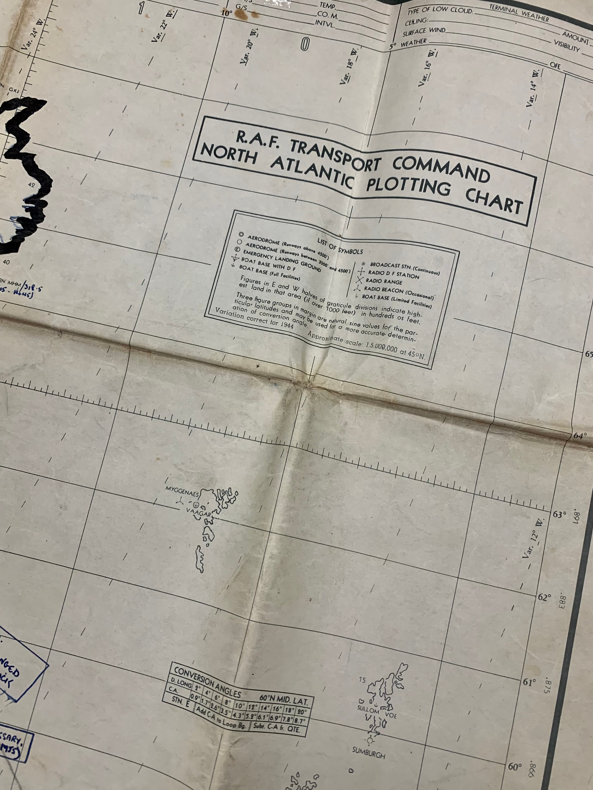
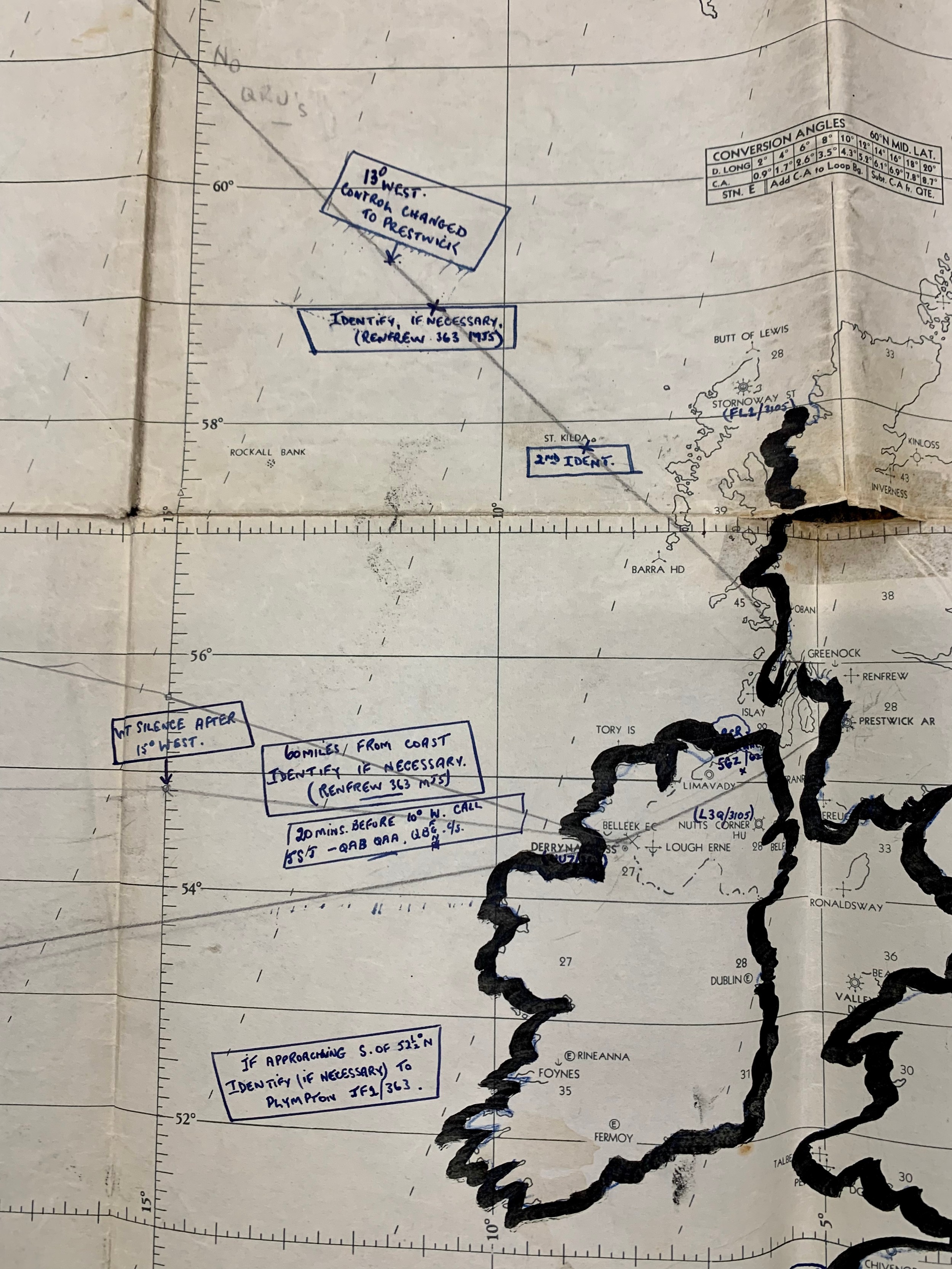
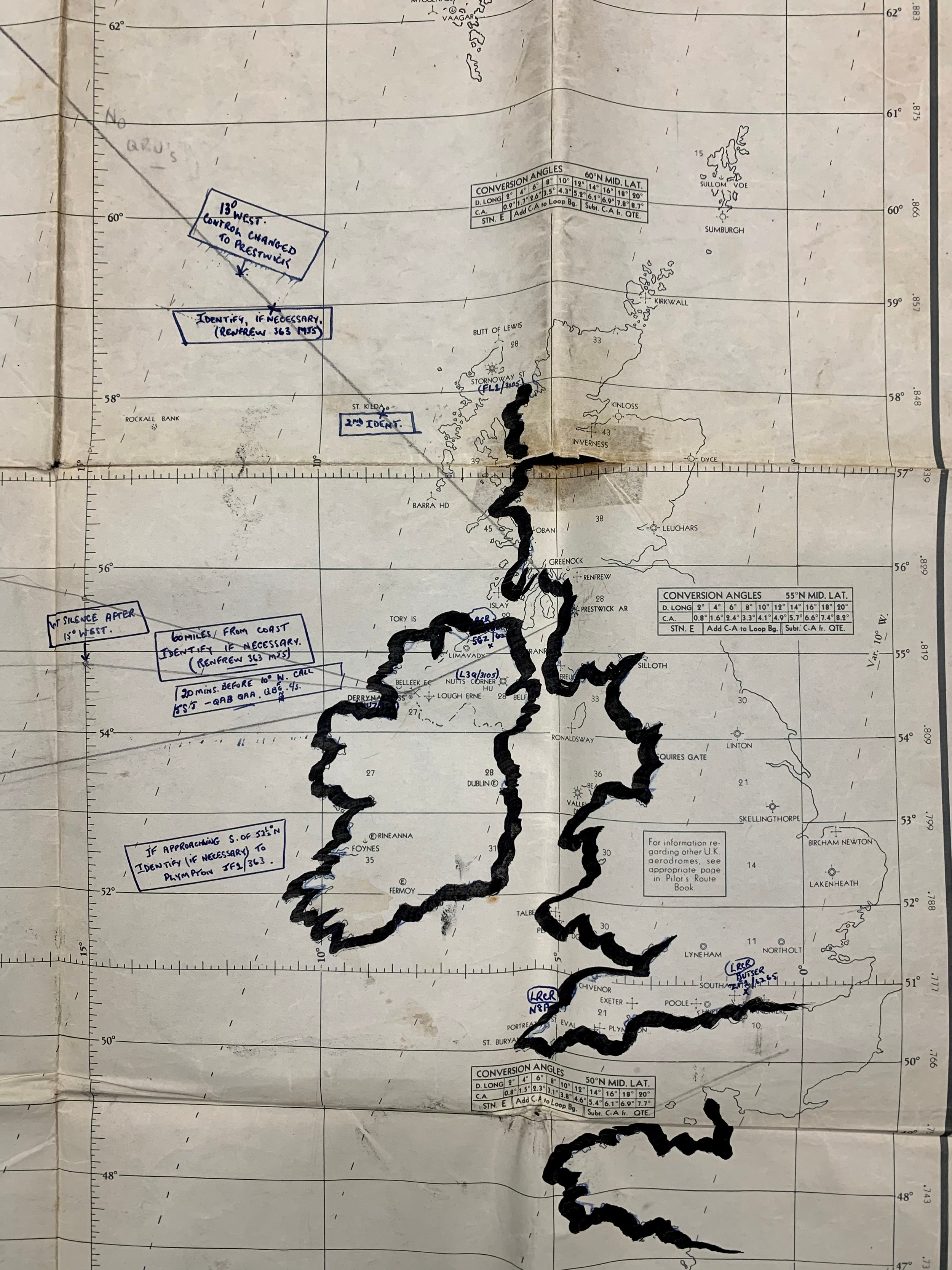
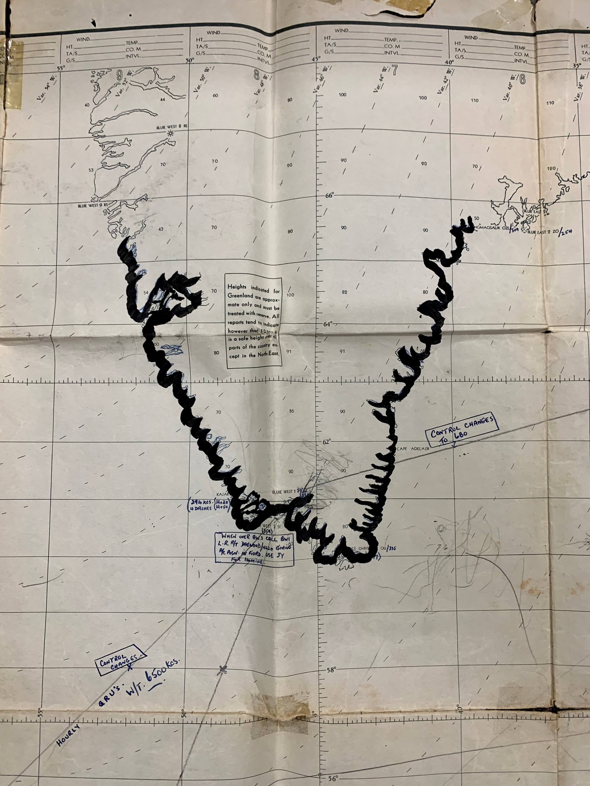
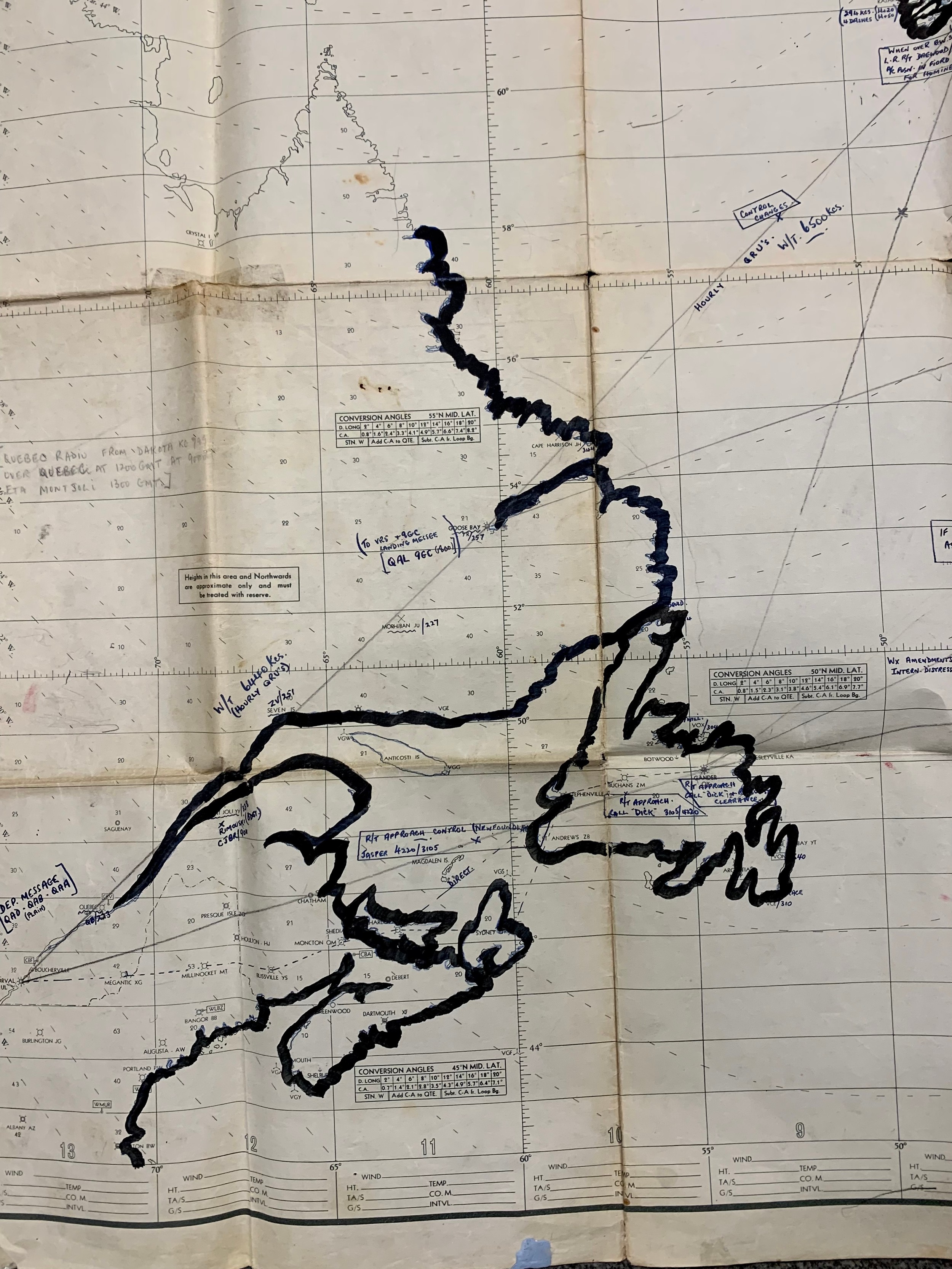
Second World War, R.A.F. Transport Command North Atlantic Plotting Chart, large folded R.A.F. Plotting Chart. With annotations throughout in pen and pencil across all the pictured areas, including Great Britain and Scotland, Iceland, Greenland & Canada. Sellotape marks where positioned. 84cm x 127cm.
Fees apply to the hammer price:
Free Registration
27.6% inc VAT*
Flat Fee Registration
24.00% inc VAT*