£30
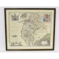
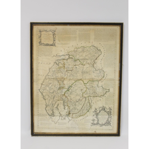
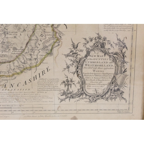
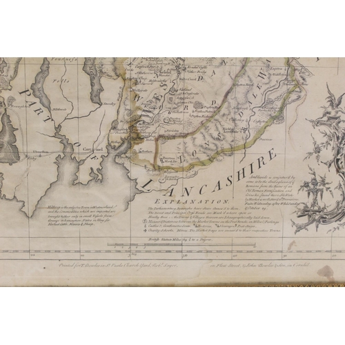
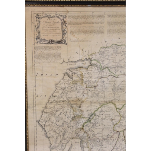
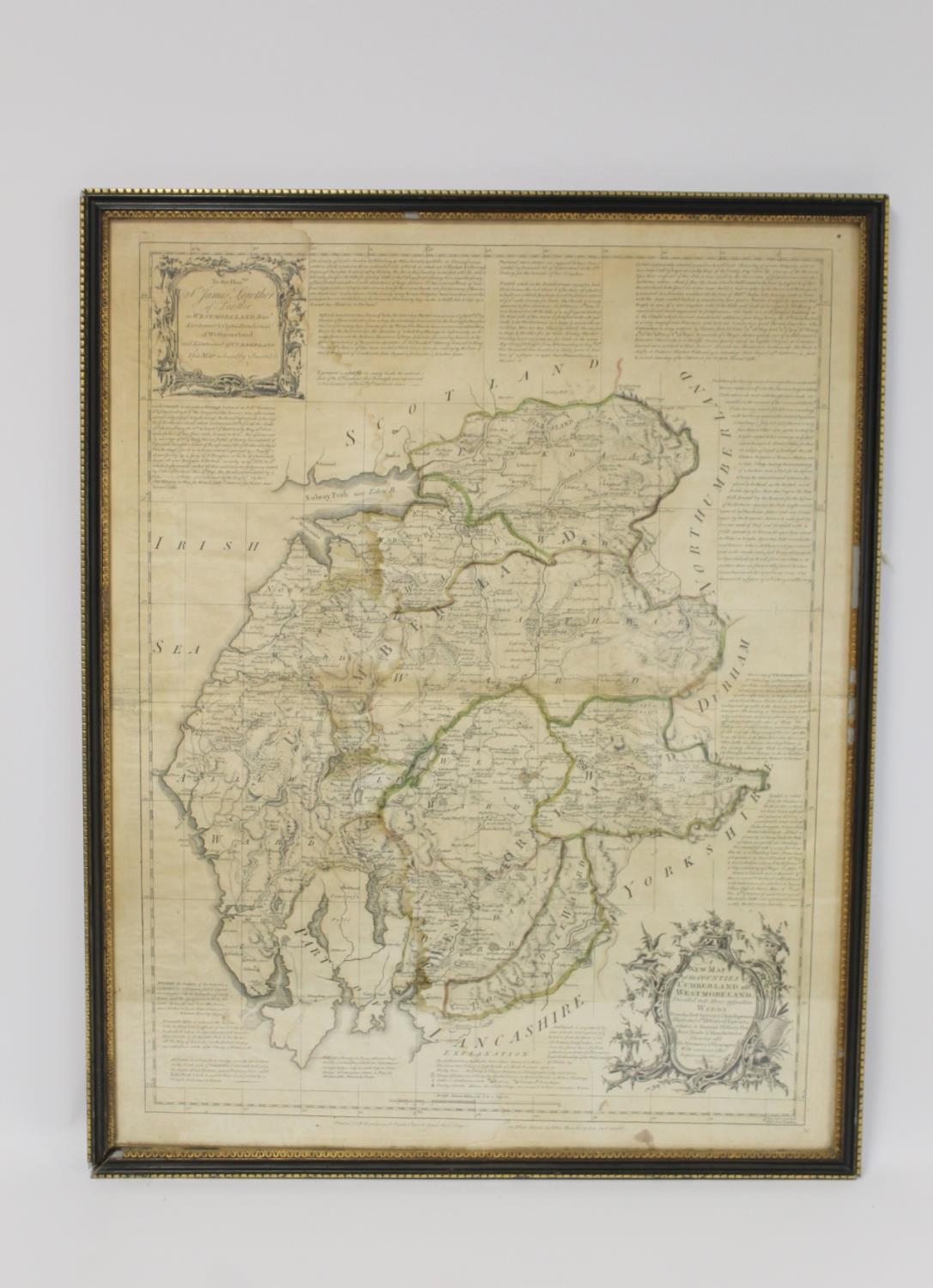
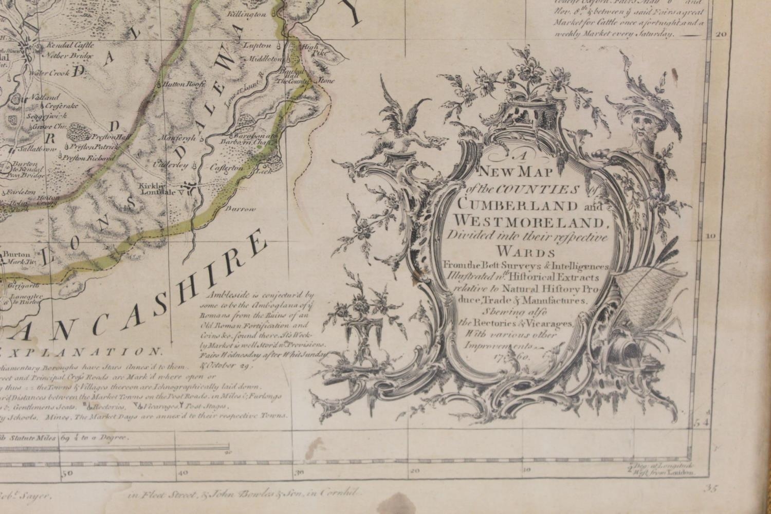
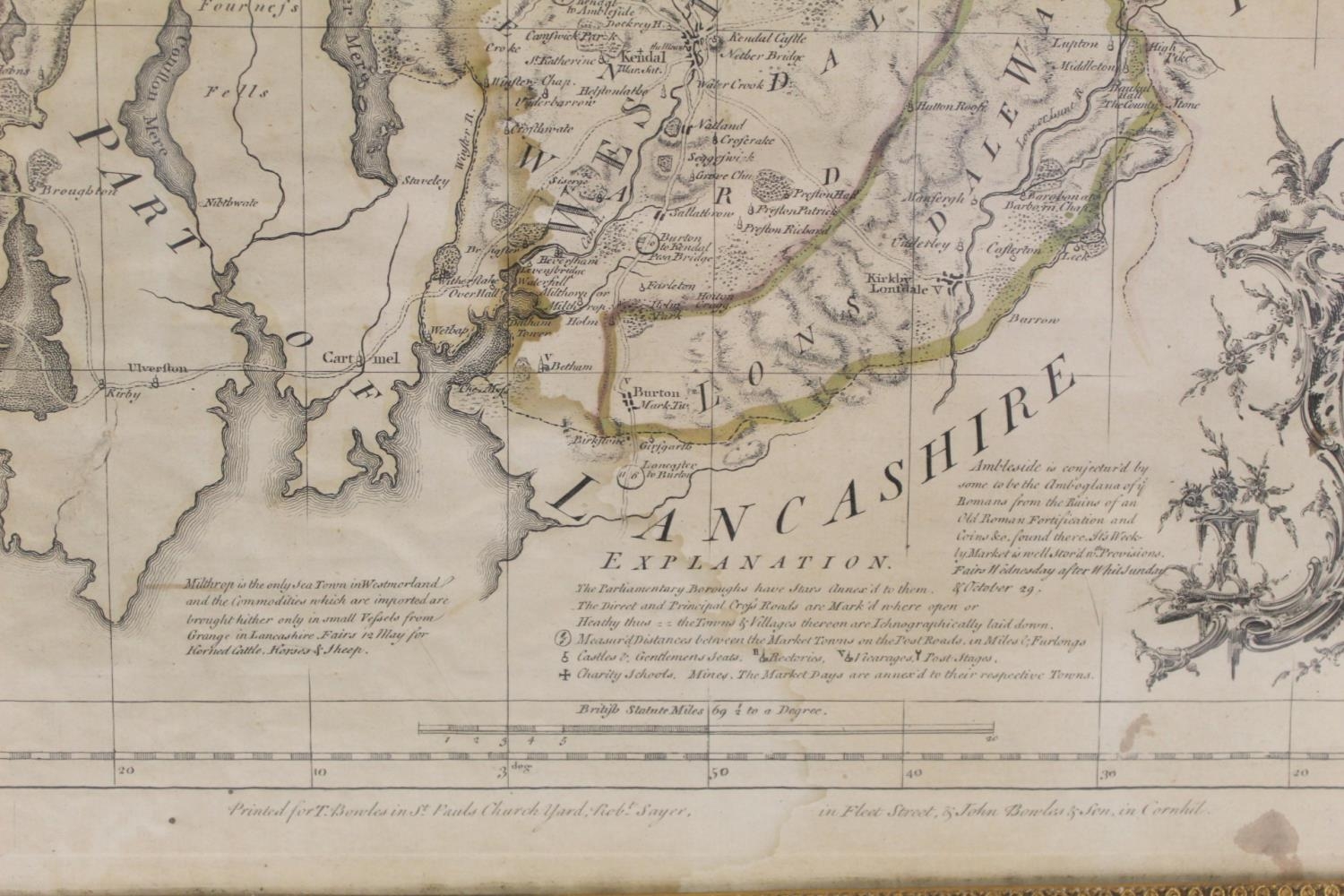
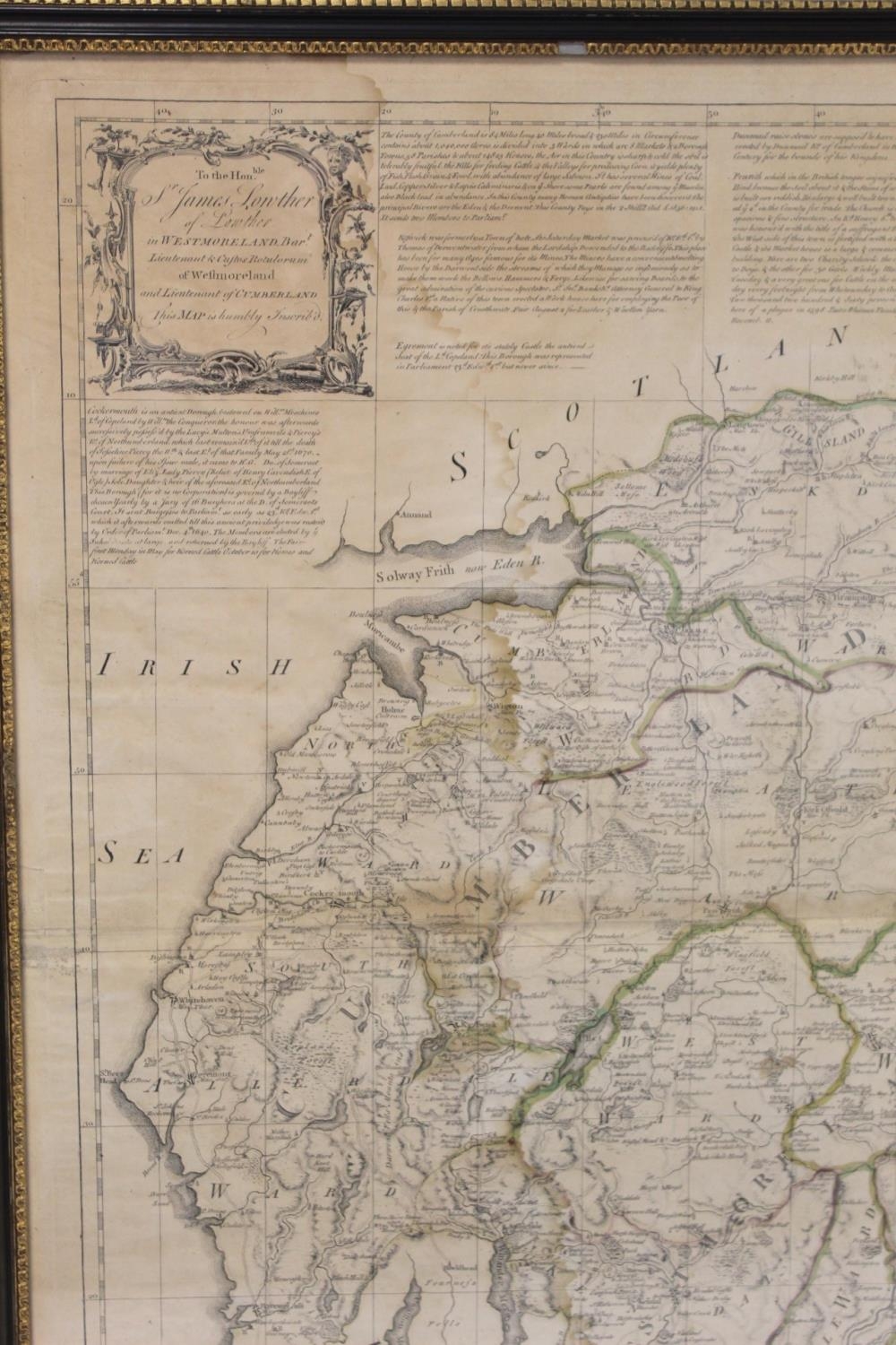
Emanuel Bowen & Thomas Kitchin, 18th century hand coloured engraved map "A New Map of the Counties Cumberland and Westmoreland divided into their respective Wards", dated 1760, printed for T. Bowles, St. Paul's Churchyard, Robert Sayer, Fleet Street and John Bowles & Son in Cornhill, 21cm x 56cm, in Hogarth frame. Some damp staining and browning.
Fees apply to the hammer price:
Free Registration
27.6% inc VAT*
Flat Fee Registration
24.00% inc VAT*