£60
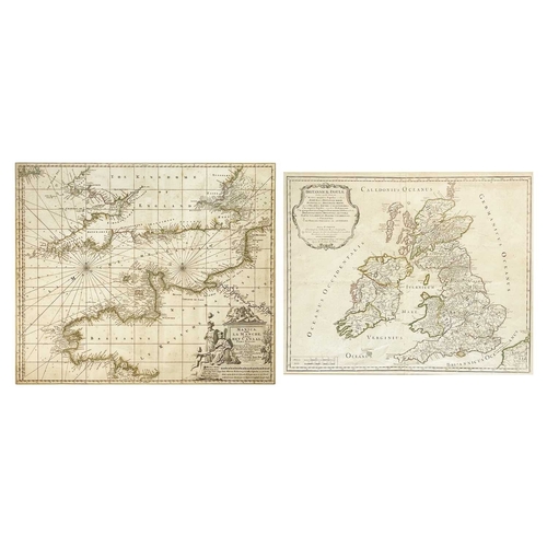
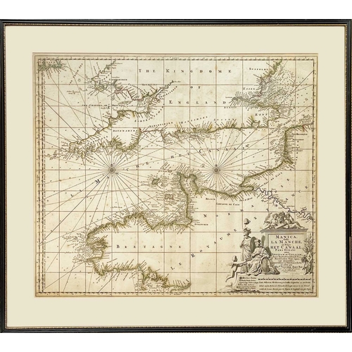
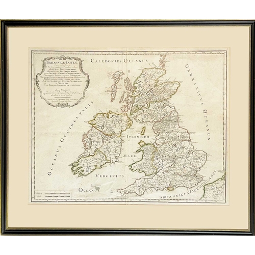
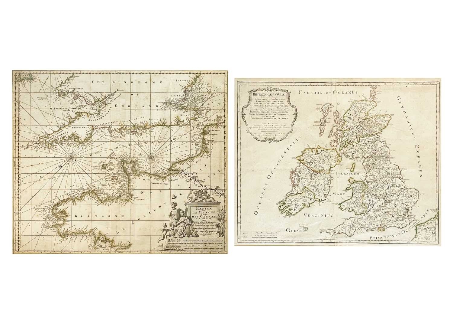
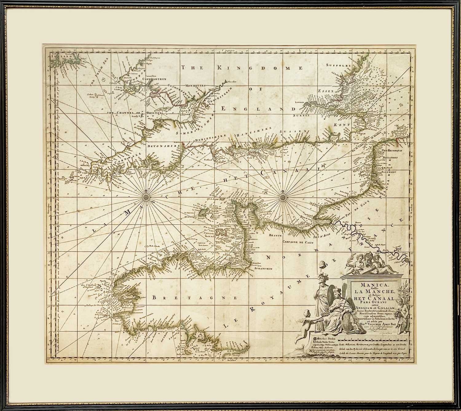
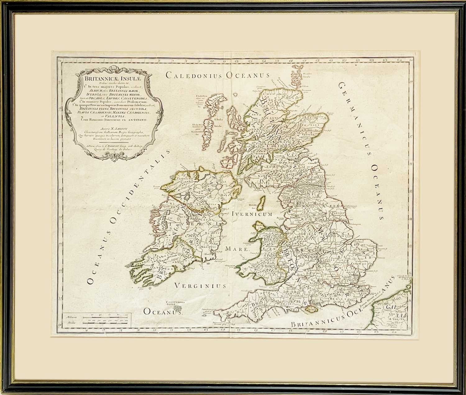
Nicolas SANSON and Gilles ROBERT DE VAUGOND BRITANNICAE INSULAE Tribus modis distinctae Copper engraved map, hand coloured borders, centre fold, small tears to foot, generally good, framed and glazed measuring 57cm x 69cm, scarce, S. Robert, Paris, 1749; Nicolas Visscher. 'Manica Gallis La Manche et Belgis het Canaal, pars Oceani inter Angliam et Galliam...,' engraved sea chart, elaborate uncoloured cartouche, compass rose and numerous rhumb lines, centre fold, spotting, framed and glazed measuring 62cm x 71cm, Amsterdam, circa 1700. (2)
Fees apply to the hammer price:
Free Registration
28.8% inc VAT*
Flat Fee Registration
25.20% inc VAT*