
€220
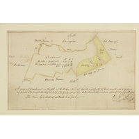
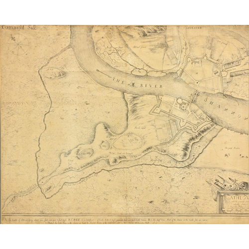
Map: Phillips (Capt. Thos.) Athlone, with The Grounds around The Castle, Early engraved plan or map, dated 1685, approx. 44cms x 55cms (17 1/4" x 21 1/2"), cut down on one side, in oak frame. As a map, w.a.f. (1)
Fees apply to the hammer price:
Free Registration
26.69% inc VAT*
Flat Fee Registration
23.00% inc VAT*