
R3,800
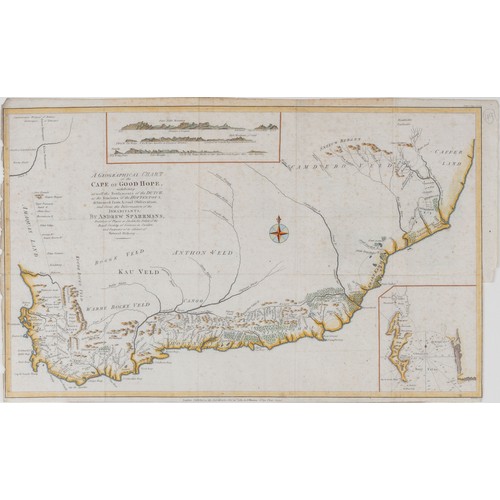
Andrew Sparrman - A GEOGRAPHICAL CHART OF THE CAPE OF GOOD HOPE
London: John Murray, 1785
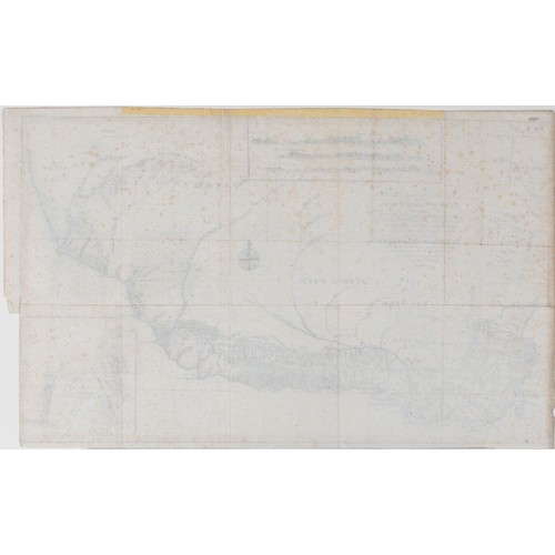
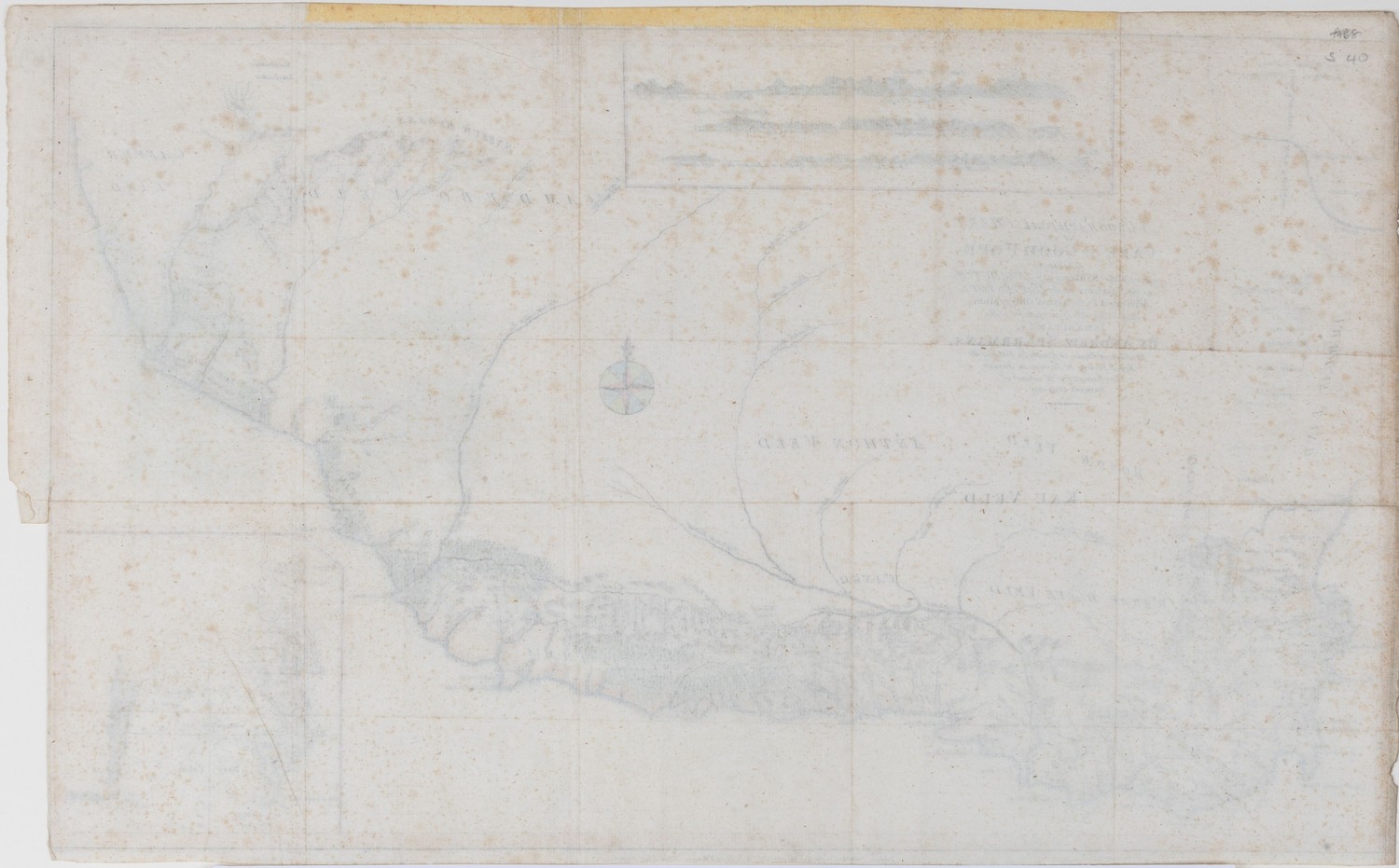
Copperplate, coloured, 4 vertical folds, 3 horizontal folds, light foxing, small hole in center of map, paperloss in left and right margin; verso: remains of tape along top edge
from Sparrman's "A Voyage to the Cape of Good Hope"
32,5 by 53,5cm
According to Norwich the map is remarkably accurate for its time, especially the settled parts of the Cape. The eastern parts are less accurate. The map is important in the history of South African cartography, since it used exploration rather than heresay as a source of information and included a great deal of detail. This is in stark contrast to earlier maps.
REFERENCE
Norwich Map 223
Fees apply to the hammer price:
Free Registration
| 1 to 10000: | 23% inc VAT* |
| 10001+: | 19.55% inc VAT* |