£120
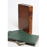
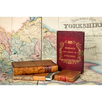
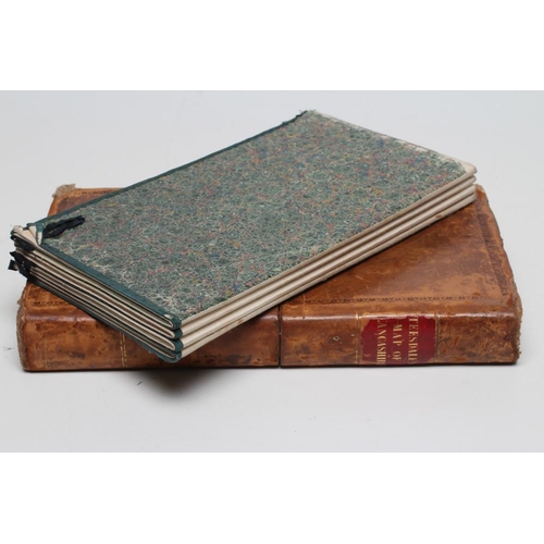
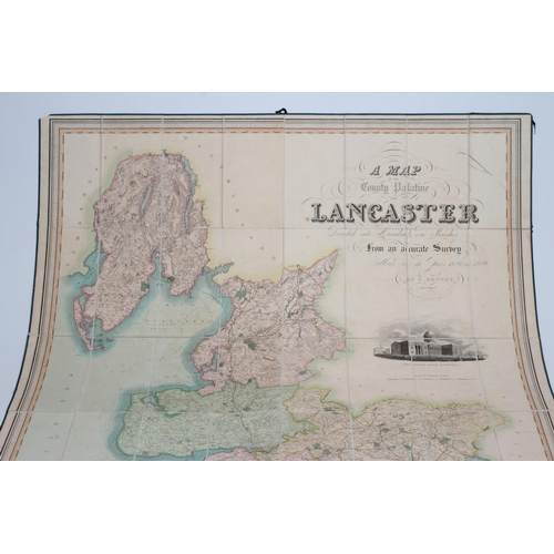
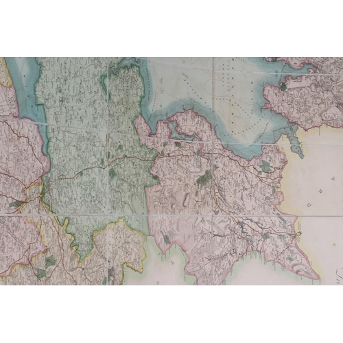
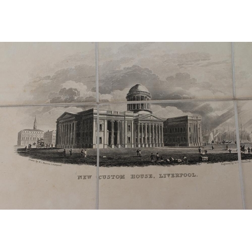
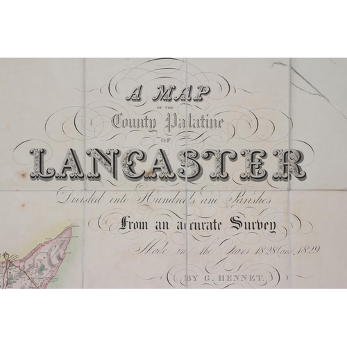
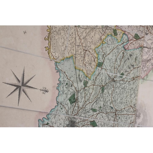
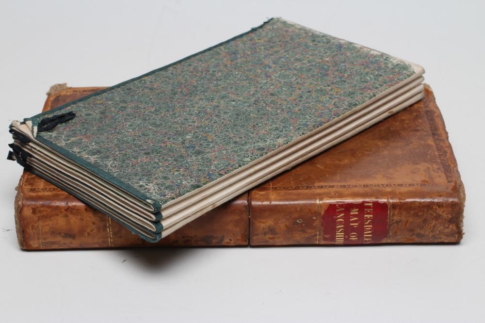
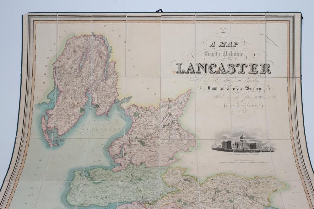
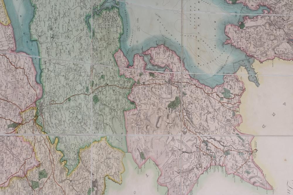
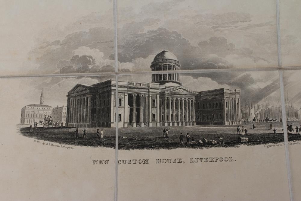
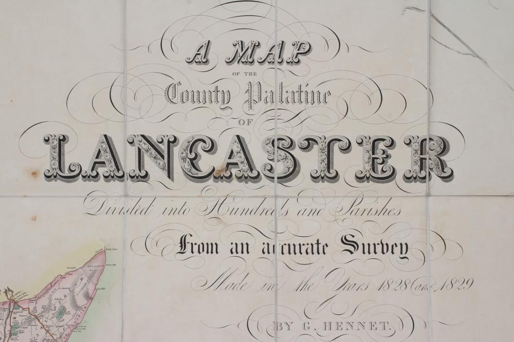
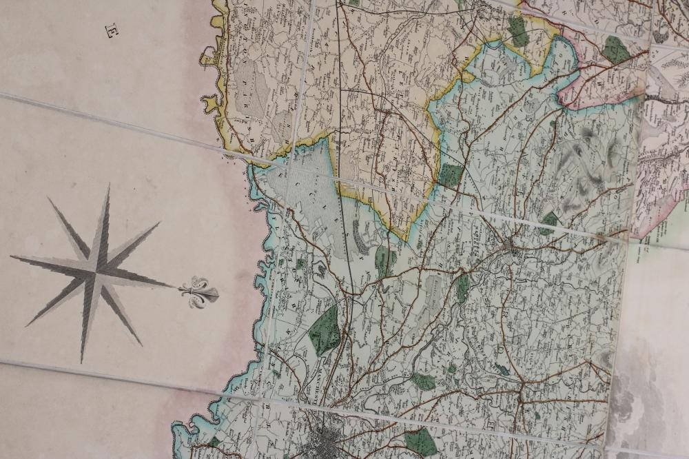
TEESDALE'S MAP OF LANCASHIRE, A Map of the County Palantine of Lancaster, Divided into Hundreds and Parishes, 1828-1829, by G. Hennet, published by Henry Teesdale & Co. May 1830, hand coloured and sectionalised large scale map on folding linen sheet, with calligraphic title, and view of New Custom House, Liverpool, housed in contemporary marbled calf book box with gilded red morocco title label (Est. plus 21% premium inc. VAT) (Illustrated)
Fees apply to the hammer price:
Free Registration
24.6% inc VAT*
Flat Fee Registration
21.00% inc VAT*