£100 - £170
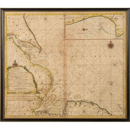
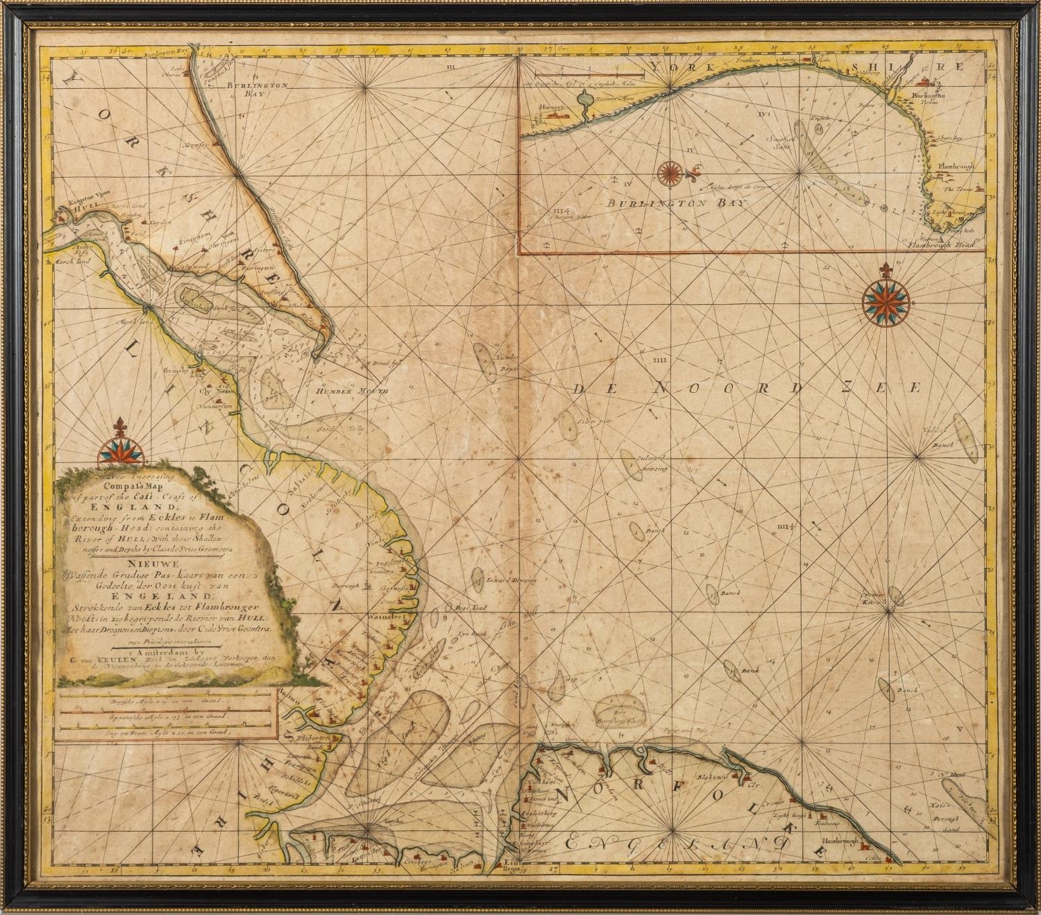
KEULEN G. Van - Compass Map of part of The East-Coast of England; extending from Eckles to Flamborough-Head containing the River of Hull; with their Shallownesses and Depths ... hand coloured sea chart. 595 x 520. Light age discolouration. F & G. circa second half of the seventeenth century.
Fees apply to the hammer price:
Free Registration
33.6% inc VAT*
Flat Fee Registration
30.00% inc VAT*