£150 - £200
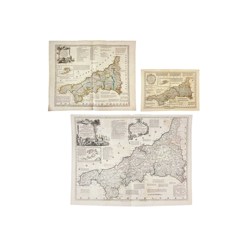
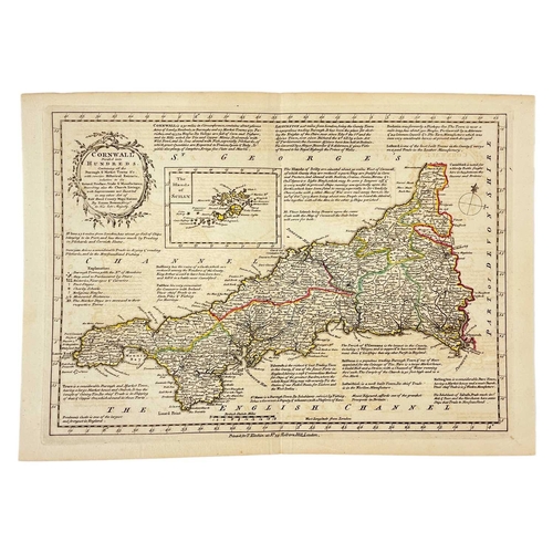
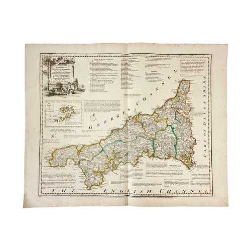
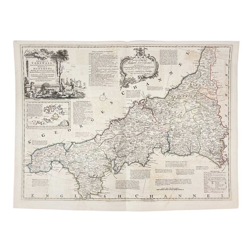
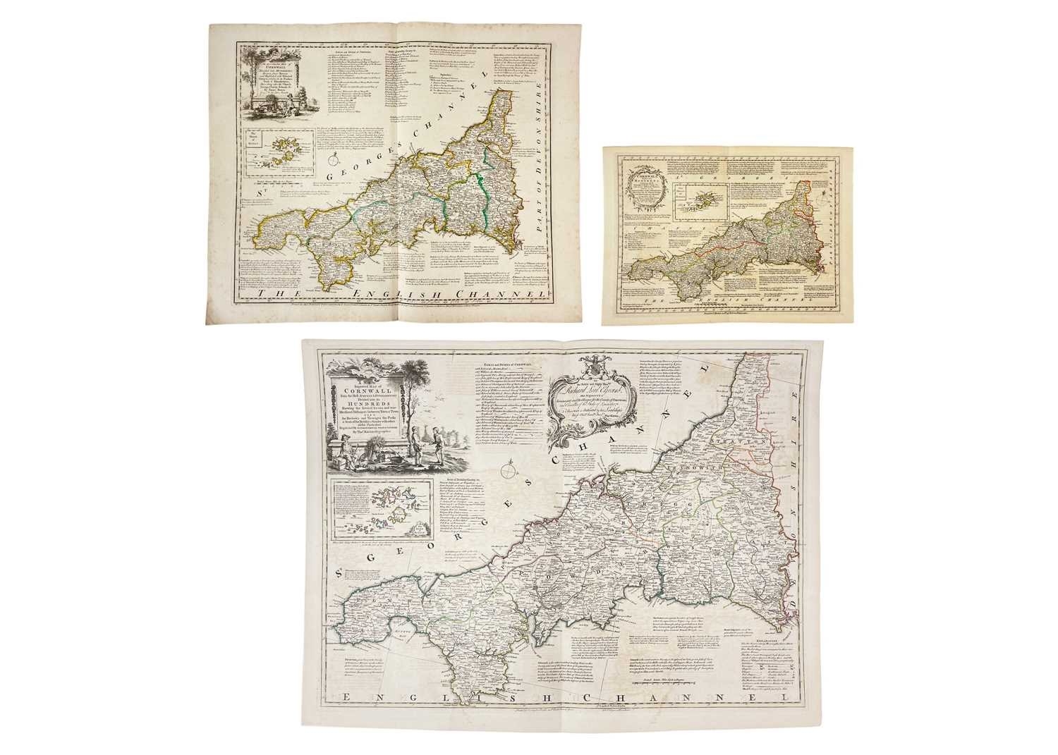
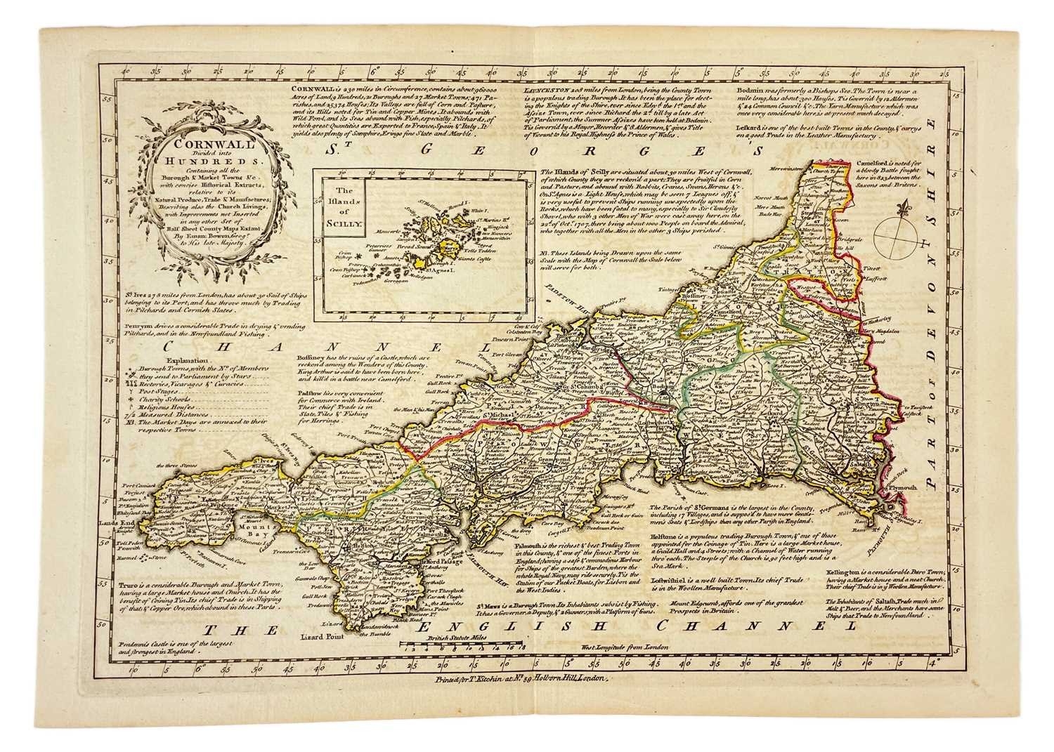
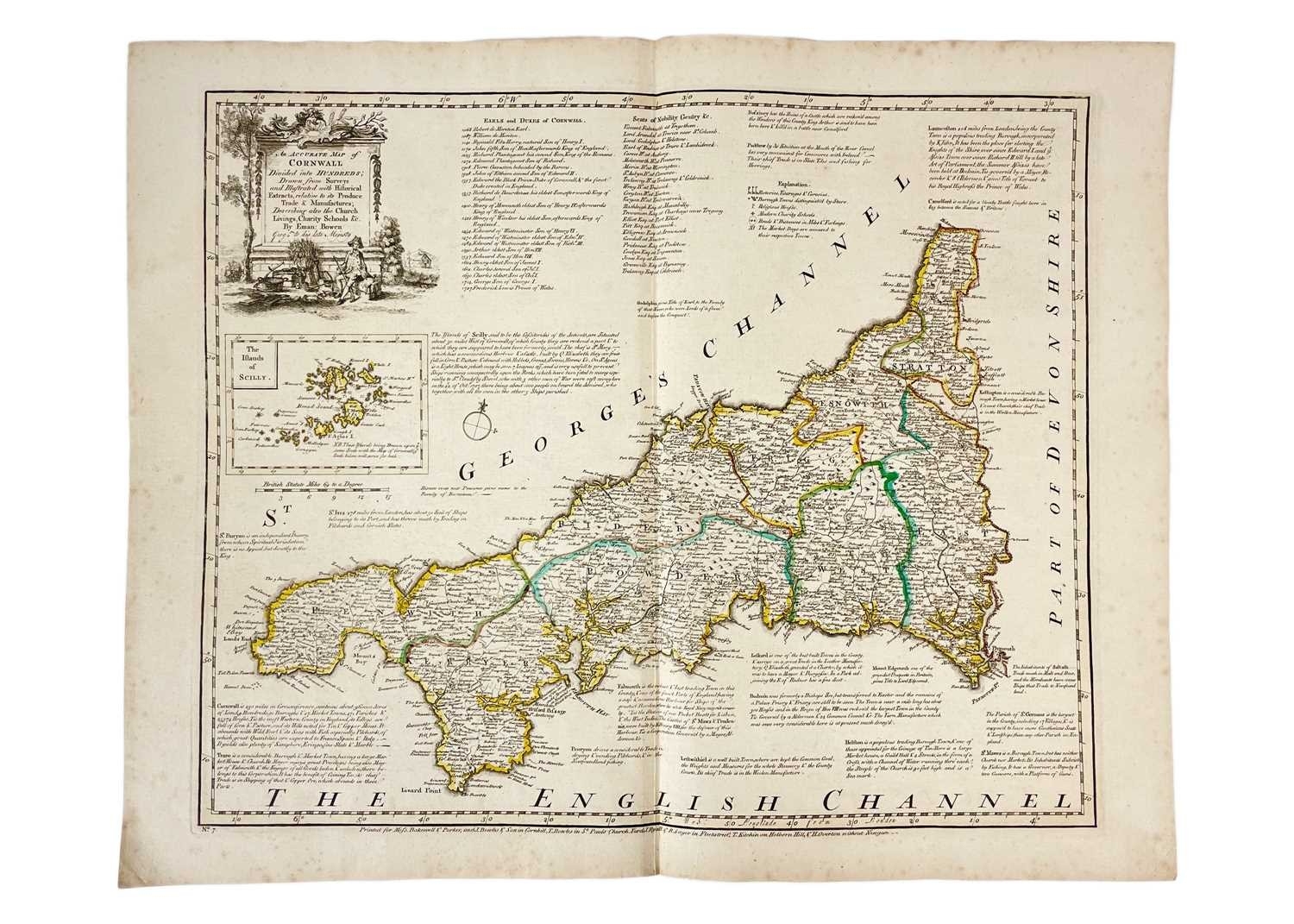
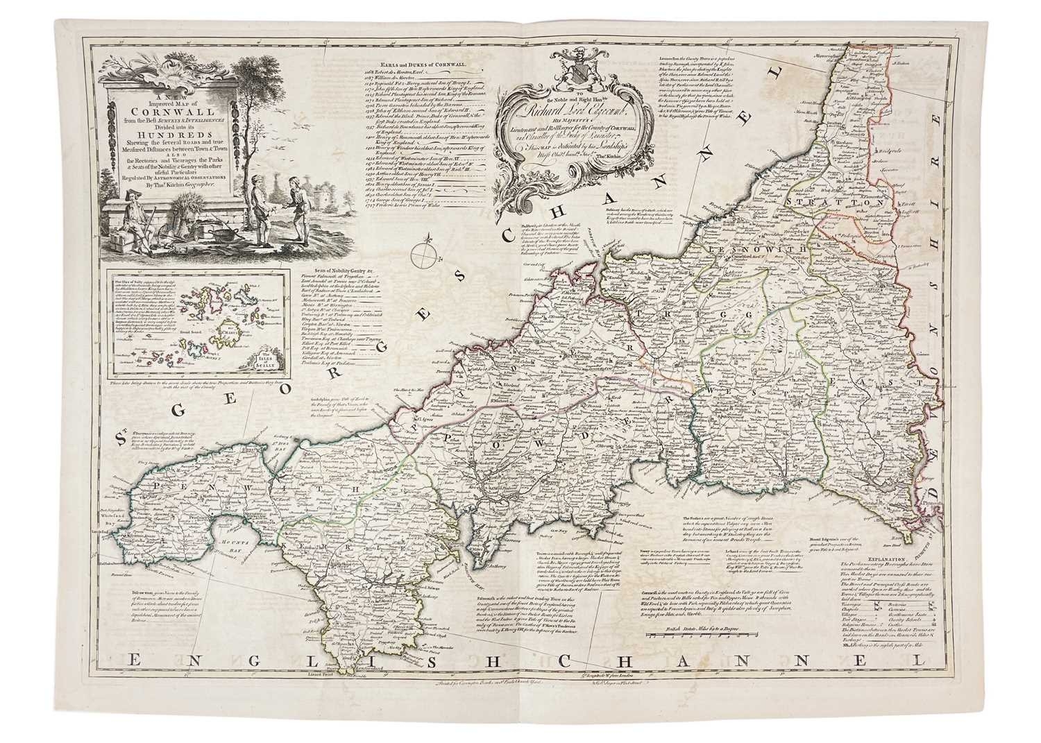
(Cornwall) Thomas Kitchin (1718-84) A New Improved Map of Cornwall from the Best Surveys and Intelligencies Divided into its Hundreds,' Copper engraved map, borders coloured only, centre fold, some off setting and toning but generally vg, 56cm x 74cm, from The Large English Atlas, Carrington Bowles, London, [c.1764]; Emmanuel Bowen. 'An Accurate Map of Cornwall,' first state, borders colured, leaf measures 47cm x 59cm, centre fold, some toning to edges, vg, Messrs Backwell & Parket et al, London, 1764; 'Cornwall Divided Into Hundreds,' copper engraved, centre fold, leaf measures 26cm x 37cm, vg, Printed for T. Kitchin at No.59 Holborn Hill, London, [c.1796]. (3)
Fees apply to the hammer price:
Free Registration
28.8% inc VAT*
Flat Fee Registration
25.20% inc VAT*