![606 - Map, Irish [Co. Louth] Collins (Capt. Greville) Chart of Carlingford Loch, from his Great Britain's ...](https://content.easyliveauction.com/auctions/images_lots/30DFDC6C9A09053D4FEC911624A8FA03_fon01/1100091790_PREVIEW.JPG)
![606 - Map, Irish [Co. Louth] Collins (Capt. Greville) Chart of Carlingford Loch, from his Great Britain's ...](https://content.easyliveauction.com/auctions/images_lots/30DFDC6C9A09053D4FEC911624A8FA03_fon01/1100091791_PREVIEW.JPG)
€120
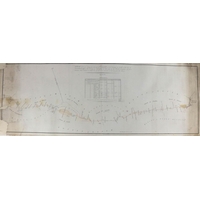
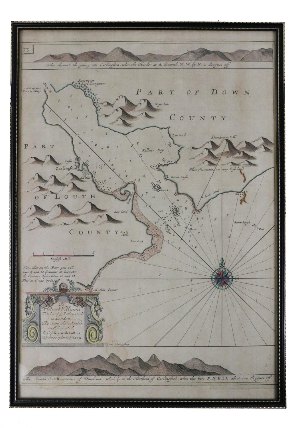
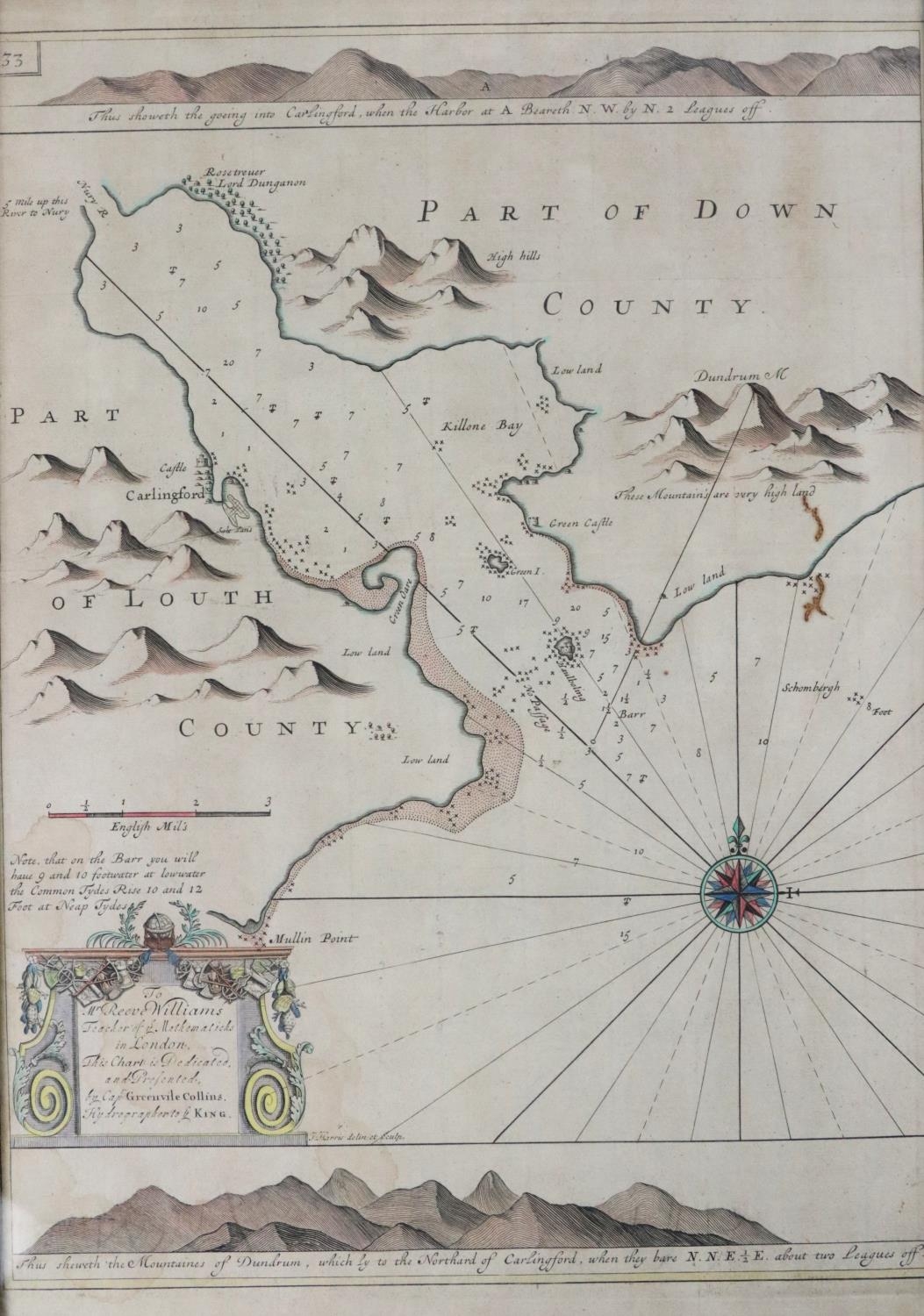
Map, Irish [Co. Louth] Collins (Capt. Greville) Chart of Carlingford Loch, from his Great Britain's Coasting Pilot, hand coloured, decorated cartouche, n.d. c. 1736, approx. 45cms x 31cms (18" x 12"), hogarth type frame. (1)
Fees apply to the hammer price:
Free Registration
28.69% inc VAT*
Flat Fee Registration
25.00% inc VAT*