£70
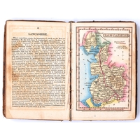
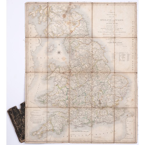
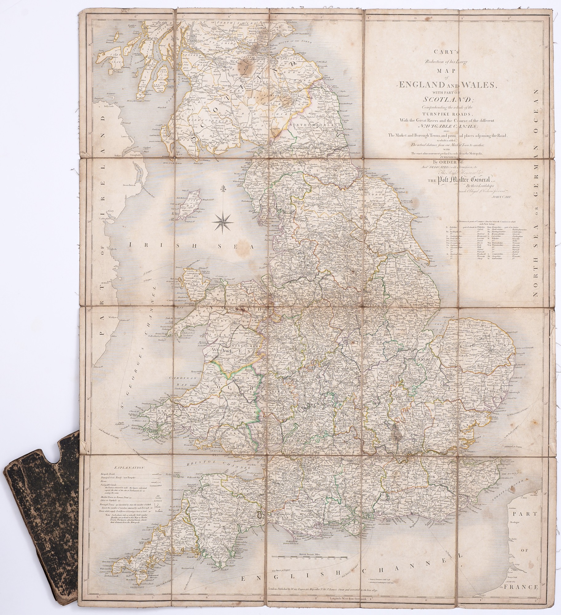
John Cary (c. 1754 - 1835), Cary's Reduction of his Large Map of England and Wales, with Part of Scotland; Comprehending the whole of the Turnpike Roads, With the Great Rivers and the Course of the different Navigable Canals: The Market and Borough Towns, and principal places adjoining the Road, to which is added, The actual distance from one Market to another; with The exact admeasurement prefixed to each from the Metropolis, London: Published by J. Cary [...], 1830, 20 folds, engraving with contemporary hand-coloured delineation, 78.5cm x 46.5cm, contemporary card sleeve.
Fees apply to the hammer price:
Free Registration
27.6% inc VAT*
Flat Fee Registration
24.00% inc VAT*