£60
World War 1 Trench Map.
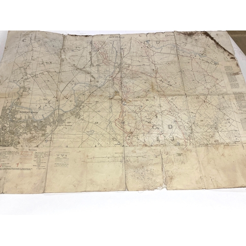
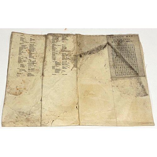
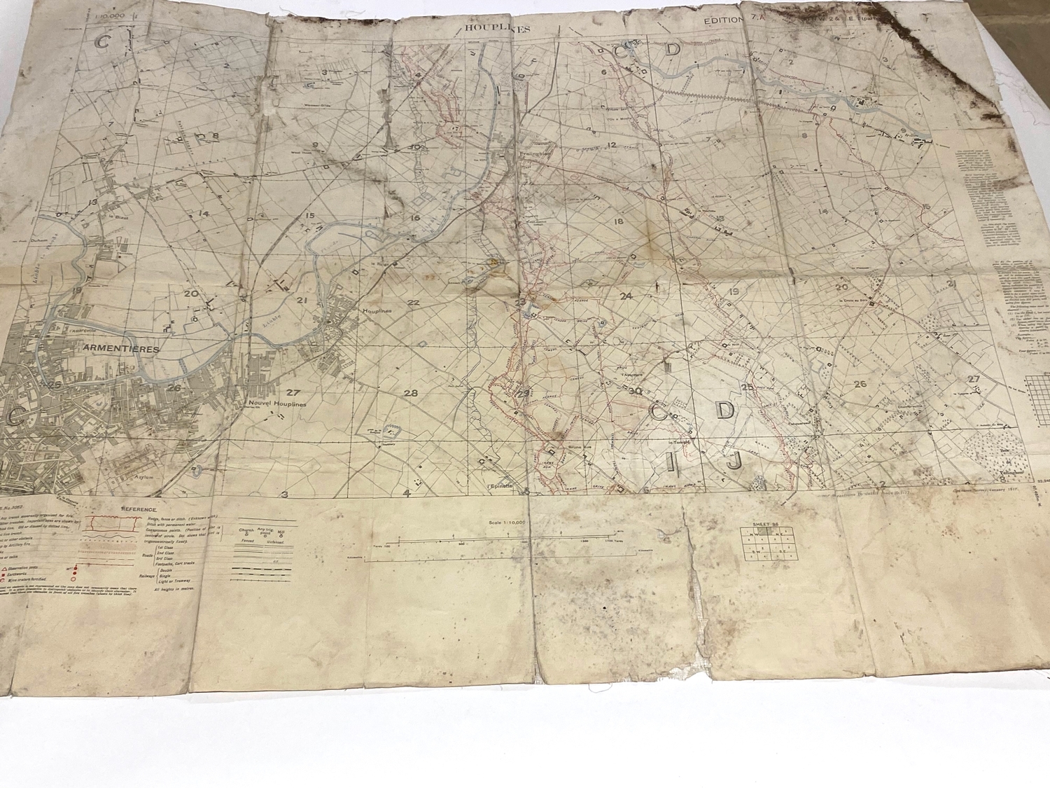
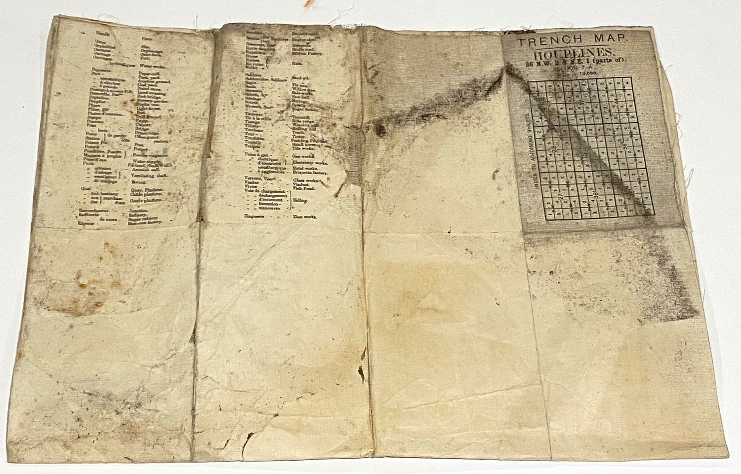
A rare and fascinating linen-backed Ordnance Survey 1:10,000 scale Edition 7 example, corrected to 10th January 1917, of HOUPLINES, also showing part of the better-known ARMENTIÈRES in the left hand corner. The German trench system, 2 km deep in places, is shown in immense detail in red print. A table of conventional signs in the margins and a glossary of French terms on the reverse. 26 ½ in. x 36 in. Evidence of much use, folded, worn and slightly mud-stained but entirely legible.
Fees apply to the hammer price:
Free Registration
27.6% inc VAT*
Flat Fee Registration
24.00% inc VAT*

