

£50 - £80
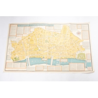
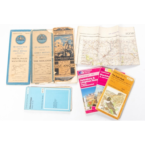
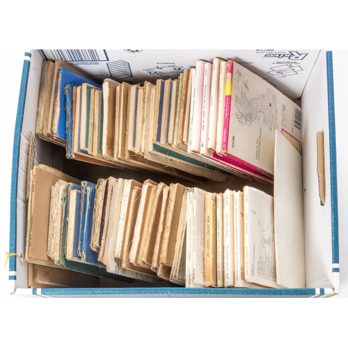
Approx 80x Ordnance Survey, etc maps of Great Britain. Early and more modern examples, including; Ordnance Survey 1:50,000, 1:25,000, Outdoor Leisure series, One Inch, Quarter-Inch, etc scale maps. Bartholomew's maps, including Touring Maps, etc. Areas covered include; South Pennines, The Three Peaks, The Dark Peak, Jersey, Land's End, Edenbridge, Birmingham, London, Salisbury Plain, Pembroke, Vale of Severn, Dundee & St. Andrews, Exmoor, etc. QGC-VGC. £50-80
Fees apply to the hammer price:
Free Registration
30% inc VAT*
Flat Fee Registration
26.40% inc VAT*