£55
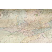
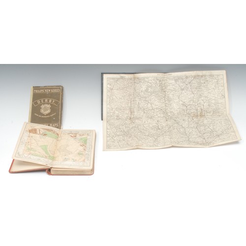
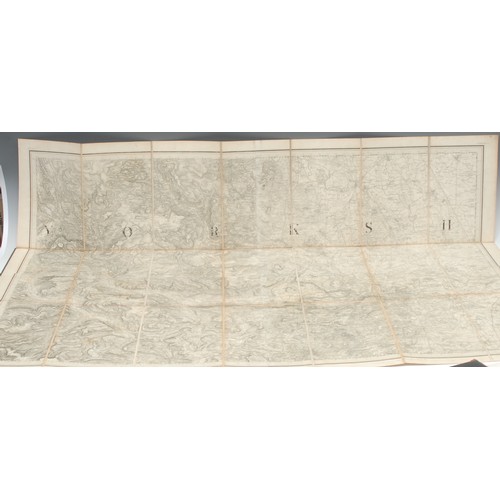
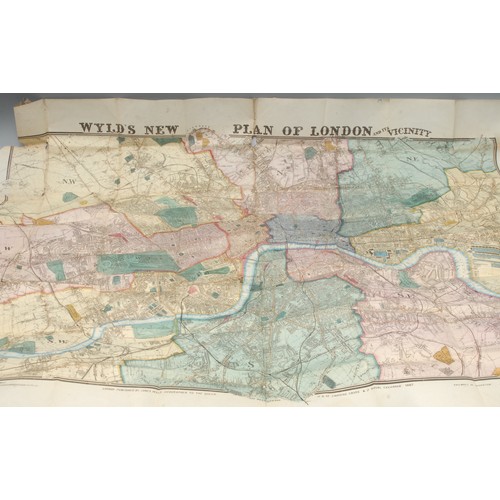
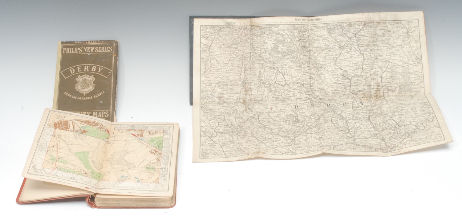
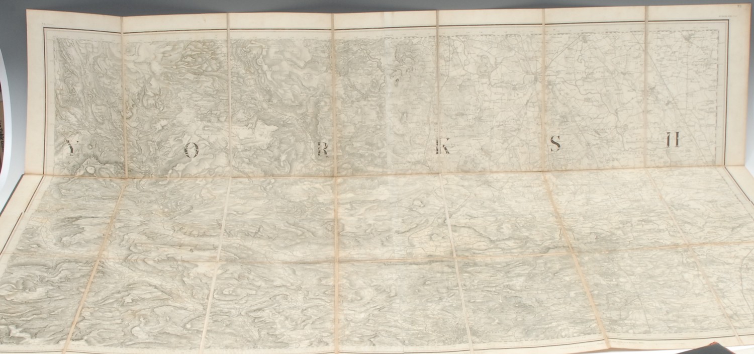
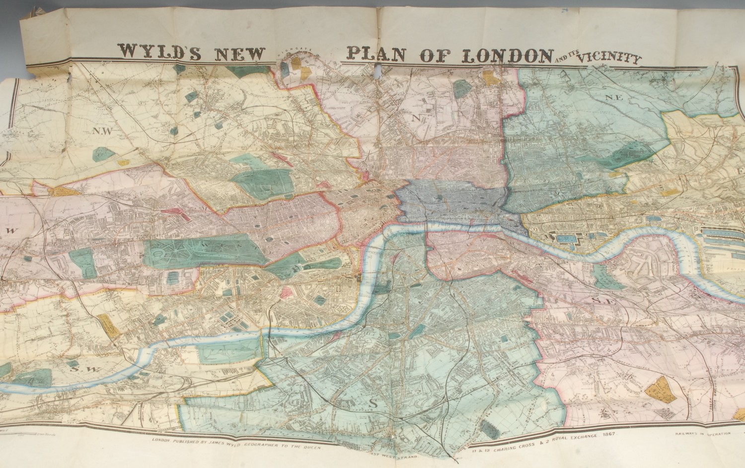
Miscellaneous UK - James Wyld (1812-1887), by and after, Wyld's New Plan of London and its Vicinity, London: Published by James Wyld, Geographer to the Queen [...], 1867, hand-coloured lithograph, 84cm x 108cm, (faults), (1); Yorkshire, Ordnance Survey, Sheet 93, Knaresborough [...], London: 1858, 67cm x 100cm, marbled endpapers, buckram boards, (1); John Bartholomew Junior (1831-1893), Map of Derbyshire, Manchester: Abel Heywood & Son, [n.d.], 28cm x 39.5cm, cloth over board covers, (1); a later map of Derbyshire, (1); Philips' Handy Volume Atlas of London, A Series of Fifty-Five Sectional Maps [...], sixth edition, London: George Philip & Son, Ltd., [n.d., 1910], contemporary red cloth (taped), 8vo, (1), [5]
Fees apply to the hammer price:
Free Registration
28.8% inc VAT*
Flat Fee Registration
25.20% inc VAT*